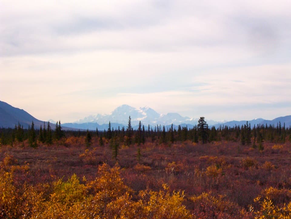
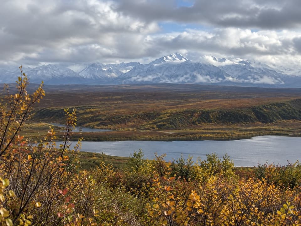
Best time to go
The Denali Highway is generally open from mid-May to October 1, and snowdrifts can block travel outside that stretch. The wayside has no fee and is for day use only.
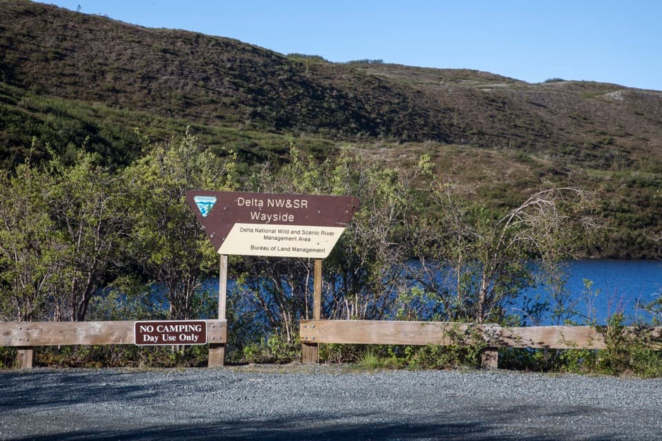
Picnic area · Denali Highway
A Tangle Lakes picnic stop with a launch for longer canoe trips.
Overview
Map
Plan your stop

The highest, rockiest slopes around here are a summer buffet for grizzly bears.
Denali Highway Tour Guide
Parkwolf is a GPS audio tour guide for Denali Highway. As you drive, it chimes in with what’s ahead: hidden gems, upcoming stops, history, geology, and wildlife, right through your car’s speakers.
See the Denali Highway audio tourRecorded for this place
Tangle Lakes: Choose Your Lakeside Stop“You're coming up on Tangle Lakes, with two different lakeside stops to choose from. For a picnic, use the day-use wayside on the south side of the highway. For a night by the water, the campground is on the north side.”
Plays as you drive up to Delta Wild and Scenic River Wayside in the Parkwolf Denali Highway Tour Guide.
More stories near here in the app
“Fantastic app with many points of information… It’s great to just turn on while you’re driving and it gives you an audio tour of the national Park. We love it!!!!”


Guide
Delta Wild and Scenic River Wayside is a picnic area and boat launch on the south side of the Denali Highway, across from Tangle Lakes Campground. Stop here to eat, use the restrooms, or launch a canoe into the Upper Tangle Lakes. It makes an easy break in the drive, and the boat access opens up longer trips. This is a day-use stop, not another campground.
The launch gives you access to extended wilderness canoe trips through the Upper Tangle Lakes. The popular 30-mile Delta River float starts at the campground launch across the highway, not here, so make sure you choose the right put-in.
The wider Tangle Lakes area has more than 500 archaeological sites documenting at least 10,000 years of human habitation. That history belongs to the lake district as a whole, but it adds a deeper story to the landscape around this wayside.
Wildlife
 56 sightingsMooseMost seen around 7 PMSighting map
 37 sightingsCaribouMost seen around 8 PMSighting map
 26 sightingsBald EagleMost seen around 11 AMSighting map
 33 sightingsTrumpeter SwanMost seen around 7 PMSighting map
 25 sightingsBeaverMost seen around 9 PMSighting map
 17 sightingsPorcupineMost seen around 10 PMSighting map
Sighting maps show where each species has been reported across Denali Highway. Wildlife moves, so no sighting is guaranteed.
Keep exploring
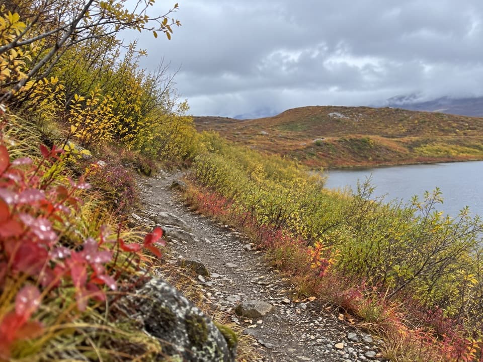 EasyTangle Lakes Foot Trail1 mi · 30 min · 0.6 mi awayClimb an esker for a quick, wide look over the Tangle Lakes.
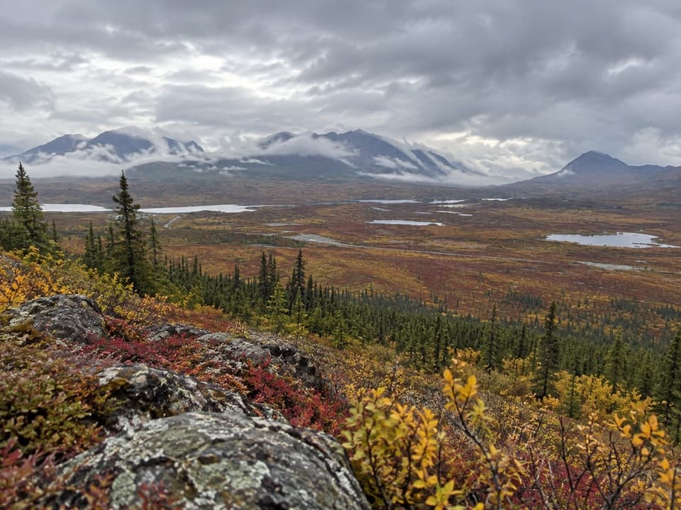 ChallengingSwede Mountain Trail1.8 mi · 2 hr · 1.9 mi awayA steep climb to broad views over the Tangle Lakes.
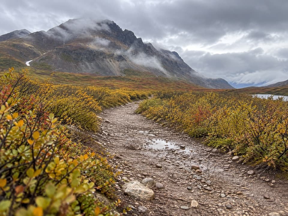 EasyLandmark Gap Trail North5.1 mi · 2.5 hr · 3 mi awayA gentle track to Landmark Gap Lake and its grayling pools.
 ModerateSwede Lake Trail6.2 mi · 3 hr · 4.6 mi awayA six-mile out-and-back on the shared Swede Lake track
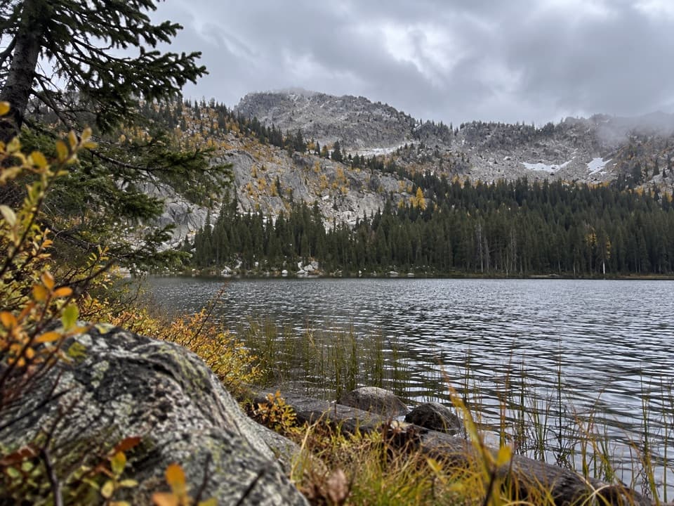 ChallengingUpper Dickey Lake Trail32.3 mi · 1.1 days · 4.7 mi awayRemote 32-mile out-and-back to an undeveloped camp near Dickey Lake.
 Lodging · 0.5 mi awayTangle Lakes LodgeMeals, groceries, and a lakeside cabin in one remote stop.
 Campground · 0.7 mi awayTangle Lakes CampgroundA lakeside camp that doubles as the Delta River's 30-mile put-in.
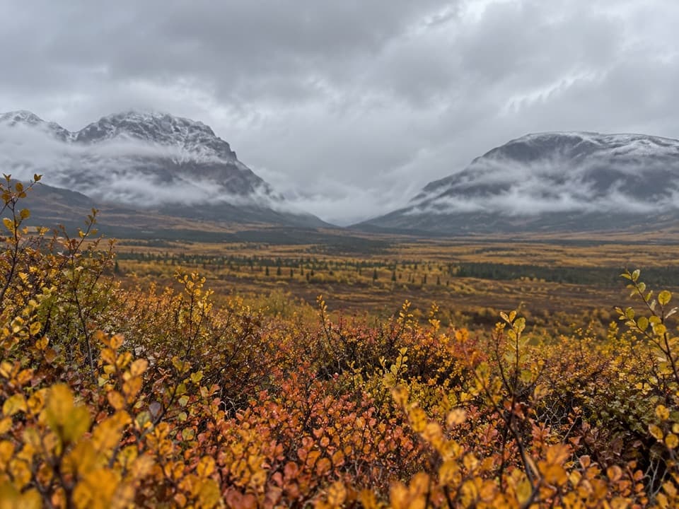 Sight · 1 mi awayLandmark Gap ViewA 10,000-year-old glacial gap frames McGinnis Peak and Mount Moffit.
 Lodging · 1.5 mi awayTangle River InnA mile-20 roadhouse looking across Round Tangle Lake and Landmark Gap.
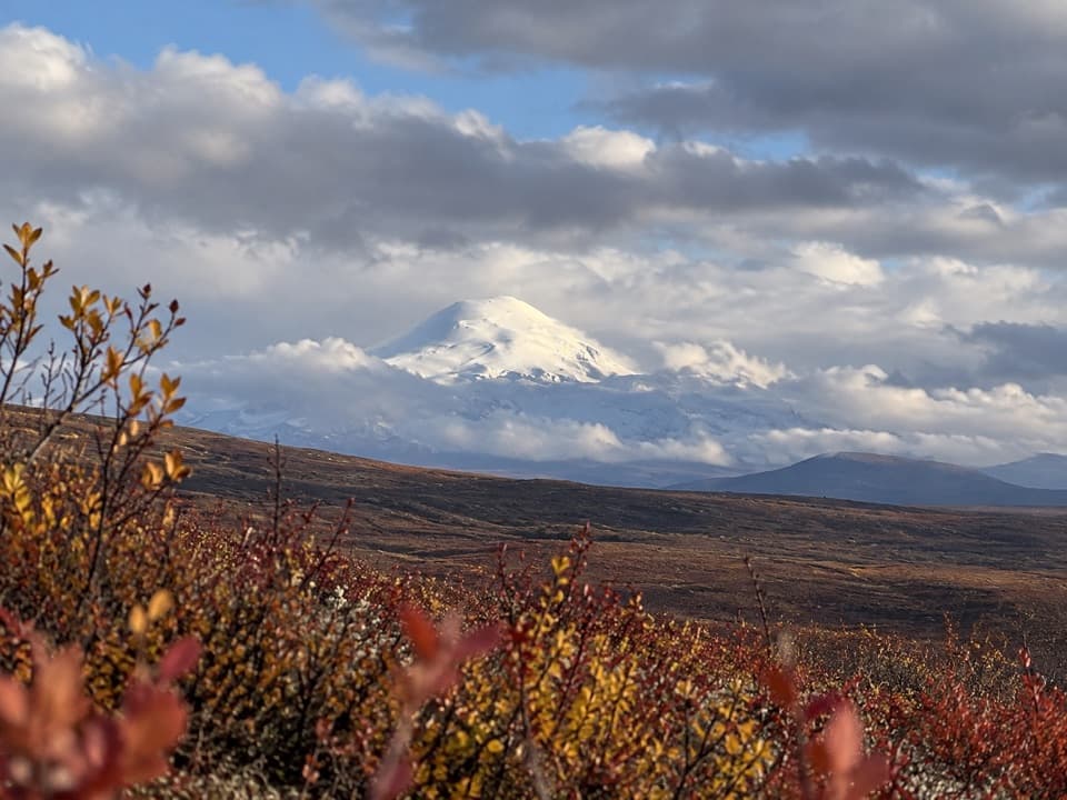 Sight · 1.8 mi awayWrangell Mountain ViewpointThree Wrangell peaks line up beyond a wide, brushy basin.
Parkwolf’s Denali Highway ranking

The audio tour guide for the drive, plus offline maps, trails, and wildlife heatmaps for when the signal drops.