Parking
Use the improved Swede Lake Trailhead on the south side of the Denali Highway at MP 16.2. The access continues over gravel to the parking area; capacity and facilities are not documented. No fee is listed.
Denali Highway, AK
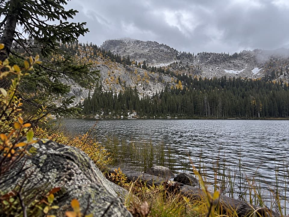
Remote 32-mile out-and-back to an undeveloped camp near Dickey Lake.
Overview
Map & elevation
Plan your hike

The highest, rockiest slopes around here are a summer buffet for grizzly bears.
Denali Highway Tour Guide
Parkwolf is a GPS audio tour guide for Denali Highway. As you drive, it chimes in with what’s ahead: hidden gems, upcoming stops, history, geology, and wildlife, right through your car’s speakers.
See the Denali Highway audio tourRecorded for this trailhead
Swede Lake Trail: A Walk Short of the Shore“You're approaching the access for Swede Lake Trail, a rolling route used mostly by ATVs. On foot, allow about three hours for the six-mile return, with ruts and muddy stretches after rain.”
Plays as you drive up to this trailhead in the Parkwolf Denali Highway Tour Guide.
More stories near here in the app
“Fantastic app with many points of information… It’s great to just turn on while you’re driving and it gives you an audio tour of the national Park. We love it!!!!”


Trail guide
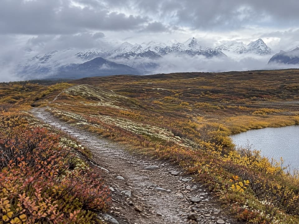
Upper Dickey Lake Trail is a remote out-and-back from the Denali Highway to an undeveloped camp near Dickey Lake. Reaching the named branch requires following the Swede Lake approach about 10 miles to the Middle Fork Gulkana, crossing the river, then walking roughly six miles west along its south side. That makes the full walk about 16 miles each way, or 32 miles round trip; plan for a multi-day trip, not a day hike.
The mileage is approximate. The six-mile branch and ten-mile approach are listed separately, a map trace measures about 16.1 miles one way, and another route listing gives 17.6 miles without explaining its distance convention. Expect a long, remote outing and verify the marked route before setting out.
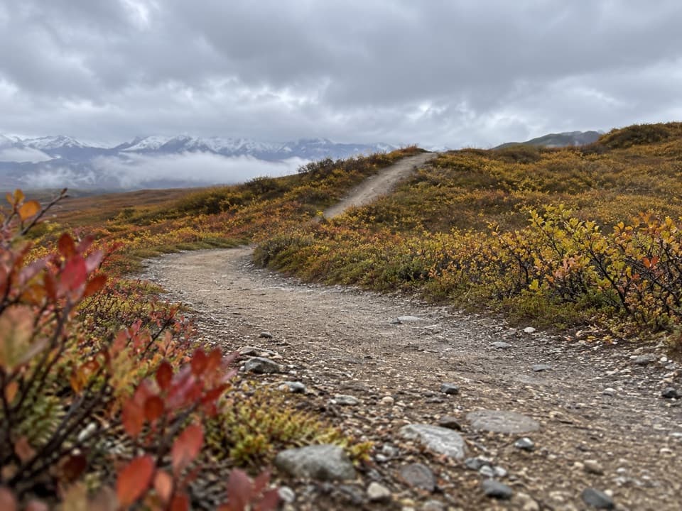
The Upper Dickey branch begins after the Middle Fork crossing. Its opening sections are extremely wet and boggy; the ground gets drier after about two miles and stays fairly dry toward the lake. Hiking is listed as an activity, though the land manager recommends motorized use because of the wet start. The Swede approach is also a multi-use route used mainly by motorized visitors.
The river crossing is required, and current water level and ford conditions were not established. Do not assume it is passable when you arrive. Stay on the designated trail marked with green dotted signs through the river corridor and archaeological district.
The route ends near Dickey Lake, where an undeveloped campsite is noted; no facilities are documented. Much of the route lies in the Gulkana National Wild River corridor and the Tangle Lakes Archaeological District, which contains more than 600 recorded archaeological sites. Athabaskan hunters traveled these paths in search of caribou, and miners later used area trails to reach placer claims near Valdez Creek and Tangle Lakes. Stay on the designated route and leave artifacts undisturbed.
Wildlife
 56 sightingsMooseMost seen around 7 PMSighting map
 37 sightingsCaribouMost seen around 8 PMSighting map
 26 sightingsBald EagleMost seen around 11 AMSighting map
 33 sightingsTrumpeter SwanMost seen around 7 PMSighting map
 25 sightingsBeaverMost seen around 9 PMSighting map
 17 sightingsPorcupineMost seen around 10 PMSighting map
Sighting maps show where each species has been reported across Denali Highway. Wildlife moves, so no sighting is guaranteed.
Keep exploring
 ModerateSwede Lake Trail6.2 mi · 3 hr · At the trailheadA six-mile out-and-back on the shared Swede Lake track
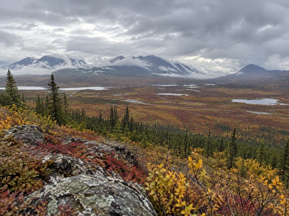 ChallengingSwede Mountain Trail1.8 mi · 2 hr · 2.9 mi awayA steep climb to broad views over the Tangle Lakes.
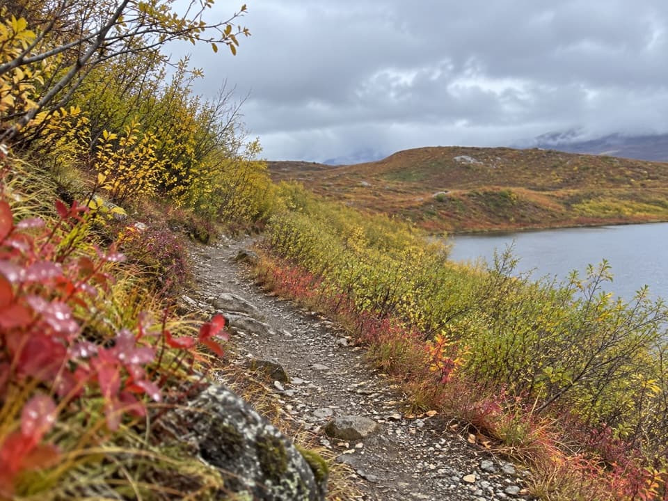 EasyTangle Lakes Foot Trail1 mi · 30 min · 4.2 mi awayClimb an esker for a quick, wide look over the Tangle Lakes.
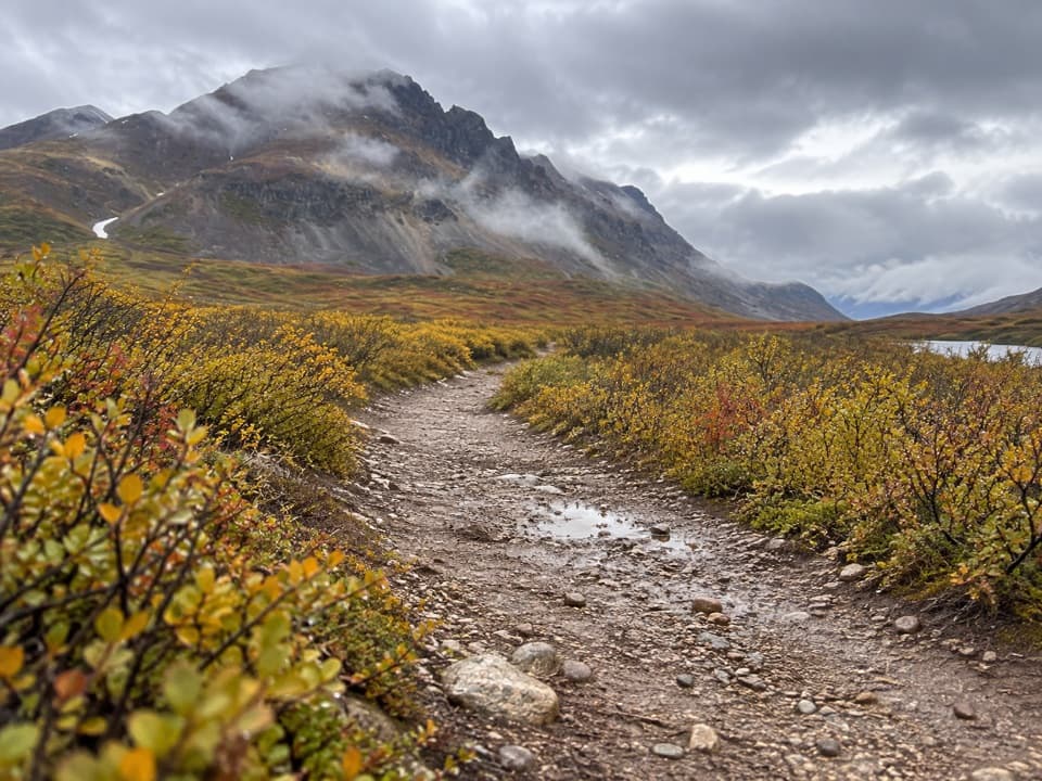 EasyLandmark Gap Trail North5.1 mi · 2.5 hr · 7.4 mi awayA gentle track to Landmark Gap Lake and its grayling pools.
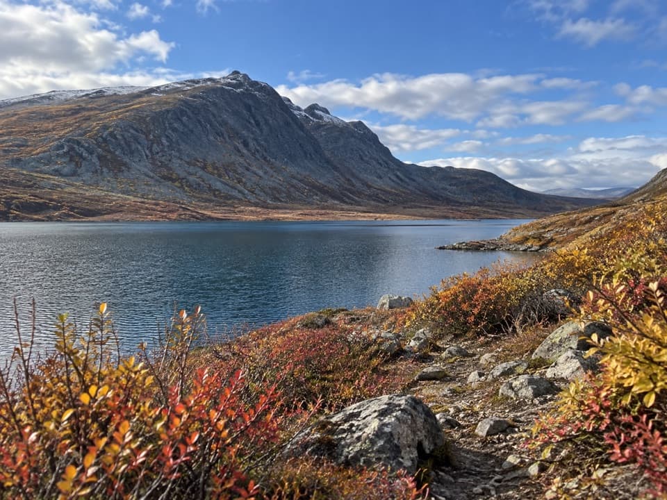 ChallengingGlacier Gap Lake to Sevenmile Lake Trail17 mi · 9 hr · 12 mi awayA cold creek crossing opens into two high tundra lakes.
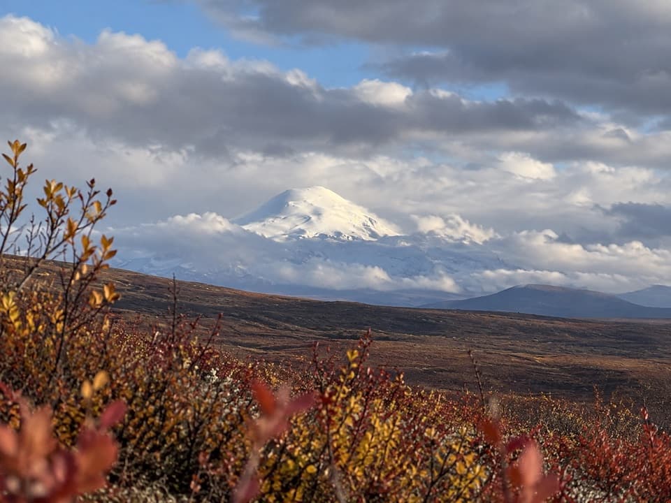 Sight · 2.9 mi awayWrangell Mountain ViewpointThree Wrangell peaks line up beyond a wide, brushy basin.
 Lodging · 3.3 mi awayTangle River InnA mile-20 roadhouse looking across Round Tangle Lake and Landmark Gap.
 Campground · 4.2 mi awayTangle Lakes CampgroundA lakeside camp that doubles as the Delta River's 30-mile put-in.
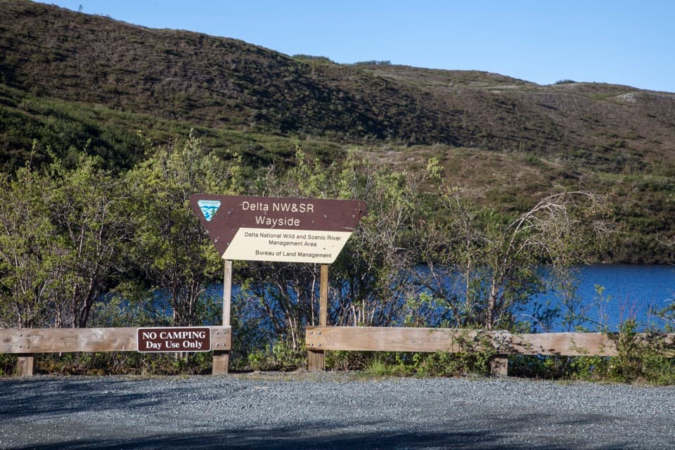 Picnic area · 4.7 mi awayDelta Wild and Scenic River WaysideA Tangle Lakes picnic stop with a launch for longer canoe trips.
 Lodging · 5.1 mi awayTangle Lakes LodgeMeals, groceries, and a lakeside cabin in one remote stop.
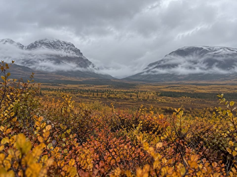 Sight · 5.6 mi awayLandmark Gap ViewA 10,000-year-old glacial gap frames McGinnis Peak and Mount Moffit.
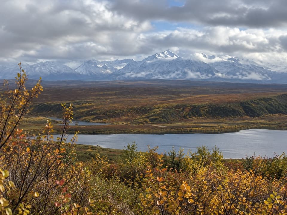 Scenic pullout · 8.5 mi awayAlaska Range WaysideA quick stop for glaciers above Sevenmile Lake.
Parkwolf’s Denali Highway ranking

The audio tour guide for the drive, plus offline maps, trails, and wildlife heatmaps for when the signal drops.