Parking
South side of the Denali Highway near milepost 68.2, just beyond Alpine Creek Lodge; the exact pull-off and formal parking were not confirmed.

Denali Highway, AK
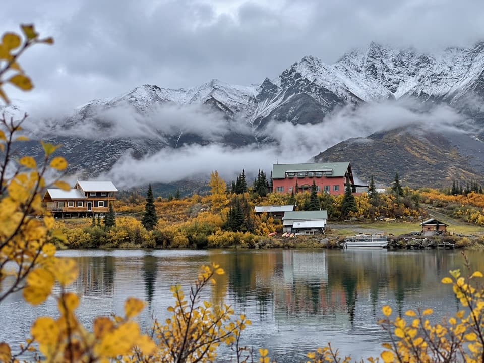
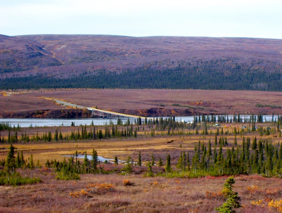
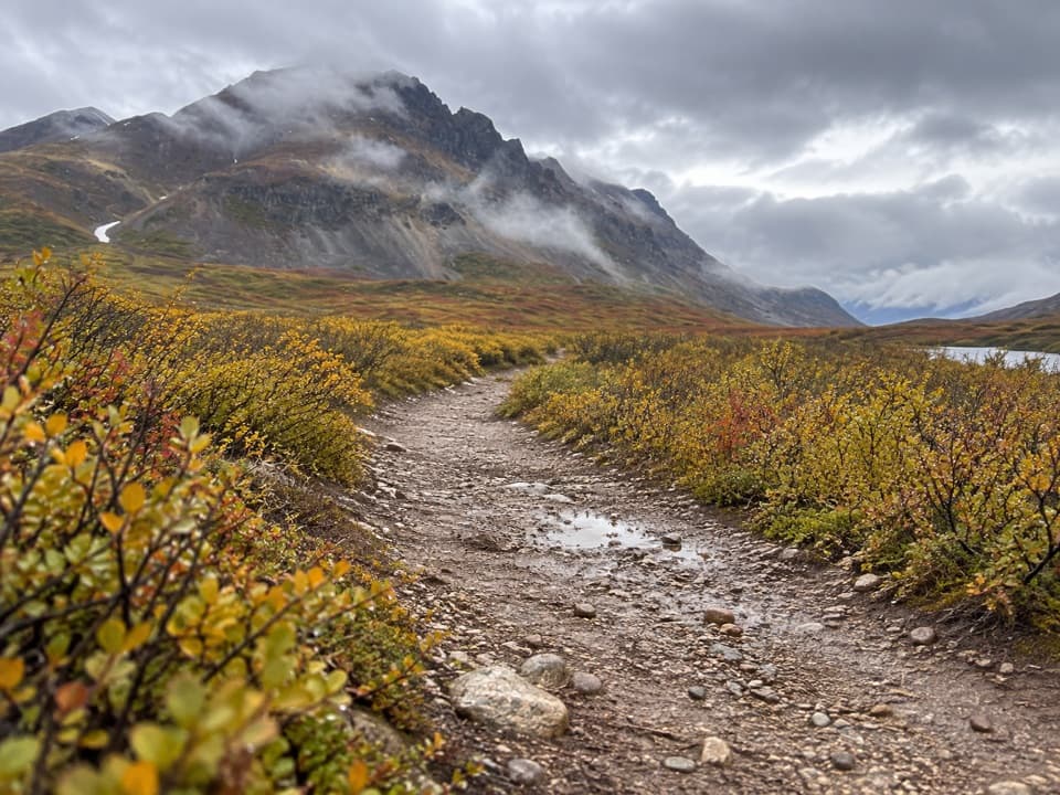
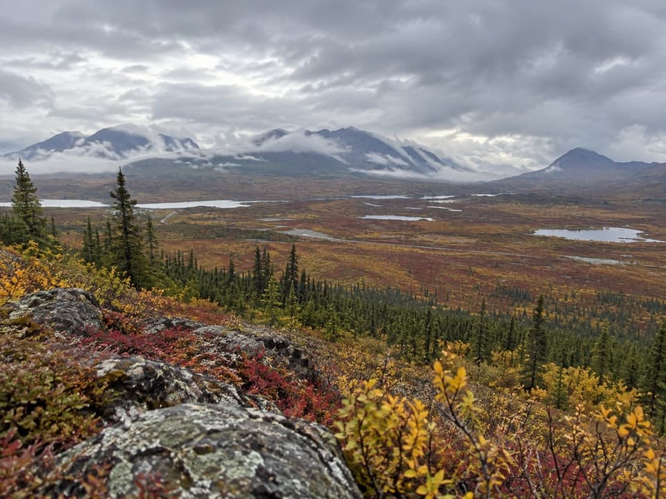
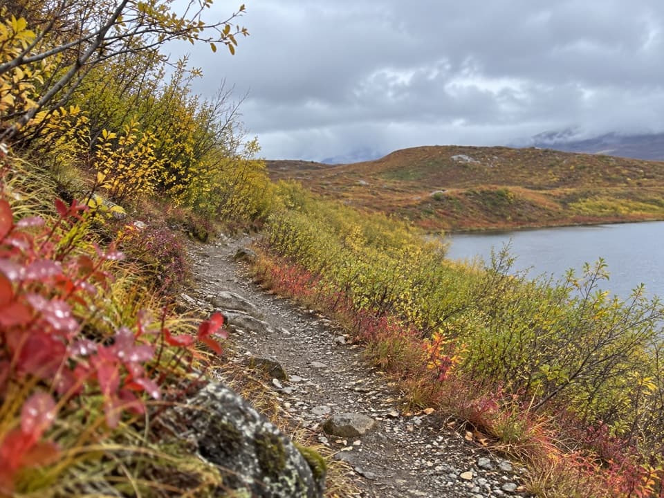
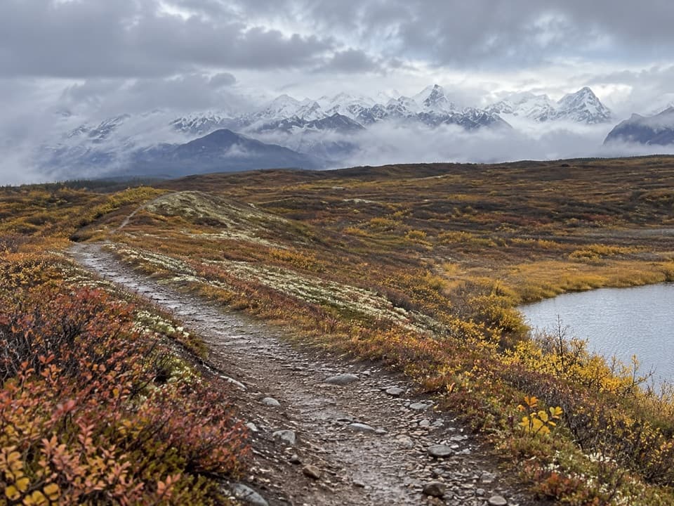
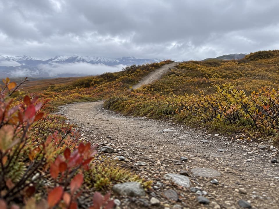
A gravel track leads toward remote Hatchet Lake.
Overview
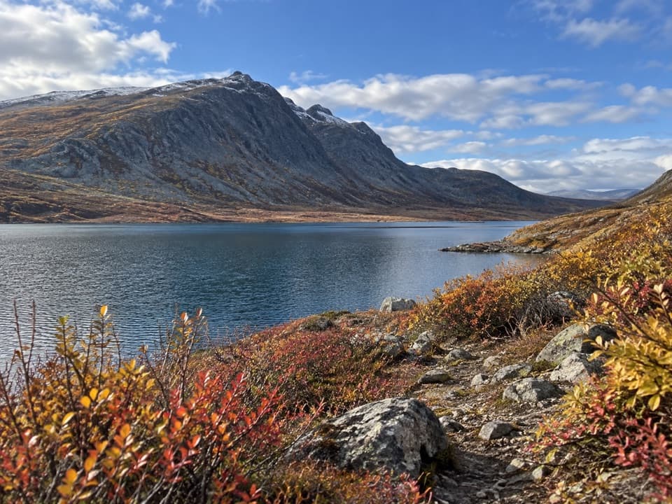
Hatchet Lake Trail follows a remote gravel track from the Denali Highway toward Hatchet Lake. Planning records identify a year-round multi-use trail here, but do not specify permitted modes; present-day foot access has not been independently confirmed. The mapped corridor is approximate.
Map & elevation
Plan your hike

The highest, rockiest slopes around here are a summer buffet for grizzly bears.
Denali Highway Tour Guide
Parkwolf is a GPS audio tour guide for Denali Highway. As you drive, it chimes in with what’s ahead: hidden gems, upcoming stops, history, geology, and wildlife, right through your car’s speakers.
See the Denali Highway audio tourRecorded for this area
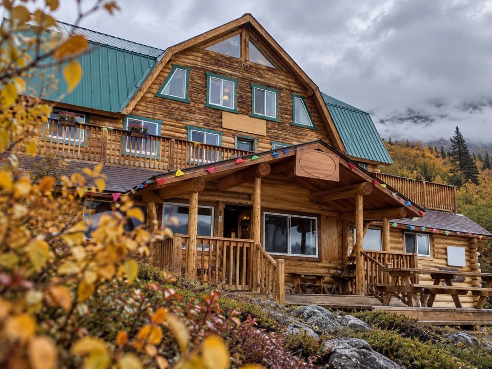
Alpine Creek Lodge: Burgers and a Valley View“You're coming up on Alpine Creek Lodge, roughly halfway between Paxson and Cantwell. If you want a meal break, passing visitors can order from a menu of homemade brisket burgers, fries, barbecue and pies.”
Plays on the road 0.2 mi from the trailhead in the Parkwolf Denali Highway Tour Guide.
More stories near here in the app
“Fantastic app with many points of information… It’s great to just turn on while you’re driving and it gives you an audio tour of the national Park. We love it!!!!”


Trail guide
The stored route follows about 3.8 miles of mapped track toward the lake, then returns the same way for about 7.6 miles round trip. The mapped line comes within roughly 70 meters of the lake’s mapped shoreline and stops short; the final approach and shoreline access are unverified. Treat it as a rough track rather than a waymarked hiking path.
The access is on the south side of the Denali Highway near milepost 68.2, just beyond Alpine Creek Lodge. The stored starting point is an approximate mapped track junction. A travel account describes the vehicle approach as 4x4-only. The exact pull-off and formal parking have not been confirmed.
Confirm that the corridor is open to public foot travel, where to park, and whether pets are permitted. No trailhead facilities were confirmed. Conditions on this remote gravel route and the short final approach to the lake are not documented, so carry navigation and be prepared to turn around before reaching the shore.
Wildlife
 56 sightingsMooseMost seen around 7 PMSighting map
 37 sightingsCaribouMost seen around 8 PMSighting map
 26 sightingsBald EagleMost seen around 11 AMSighting map
 33 sightingsTrumpeter SwanMost seen around 7 PMSighting map
 25 sightingsBeaverMost seen around 9 PMSighting map
 17 sightingsPorcupineMost seen around 10 PMSighting map
Sighting maps show where each species has been reported across Denali Highway. Wildlife moves, so no sighting is guaranteed.
Keep exploring
 ModerateButte Creek Trail8.2 mi · 6 hr · 10.1 mi awayA remote 8-mile round trip to Snodgrass Lake and Butte Creek.
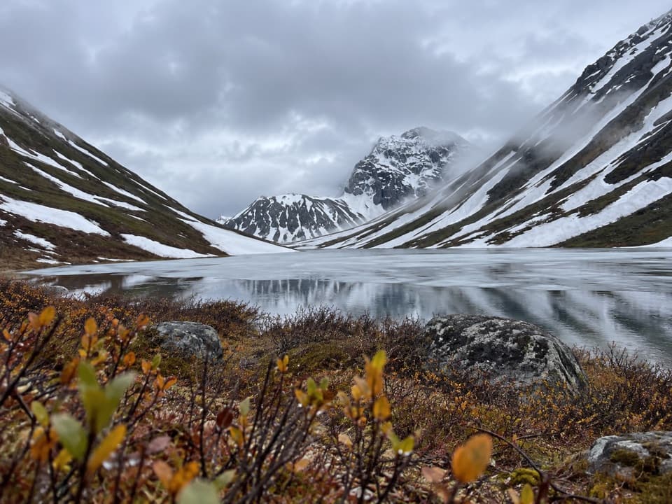 ModerateRoosevelt Lake Trail10.2 mi · 5.5 hr · 11.4 mi awayA remote gravel track that stops short of the lake.
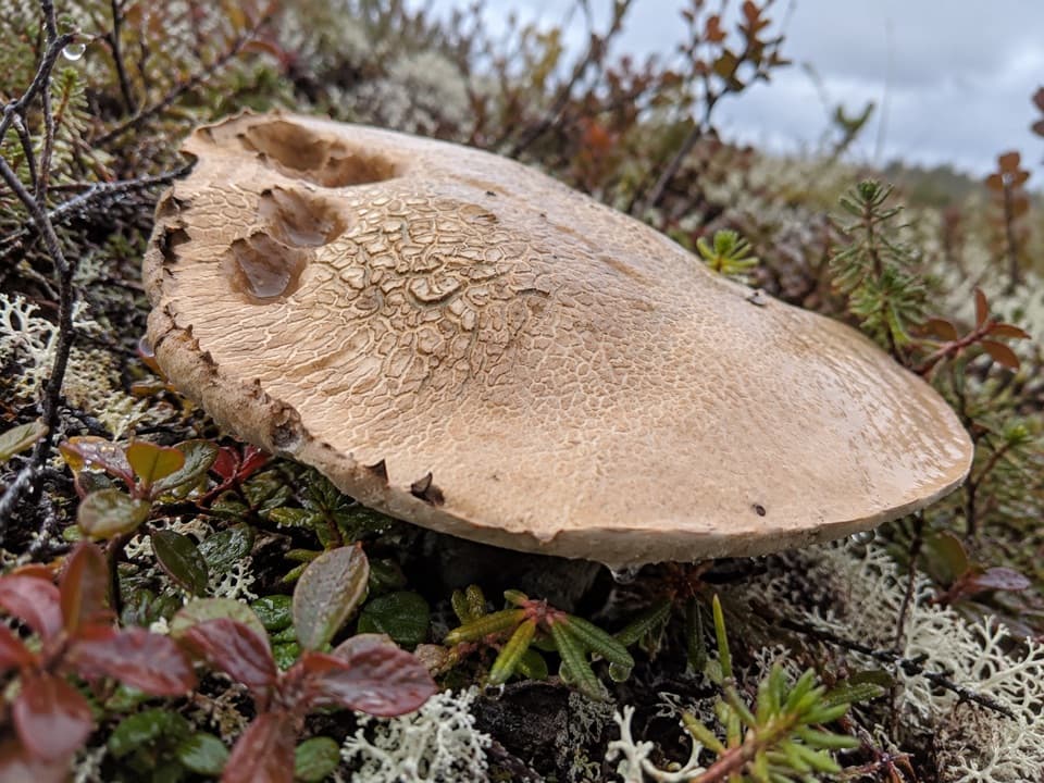 ChallengingLittle Gorge Trail4.7 mi · 4 hr · 11.4 mi awayUnmaintained creek route with a steep climb and shared ATV use.
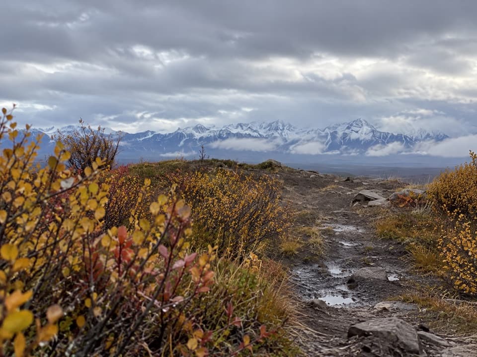 EasyAlaska Range Viewpoint Trail0.6 mi · 30 min · 13.3 mi awayA brief climb opens a wide Susitna valley and Alaska Range view.
Parkwolf’s Denali Highway ranking

The audio tour guide for the drive, plus offline maps, trails, and wildlife heatmaps for when the signal drops.