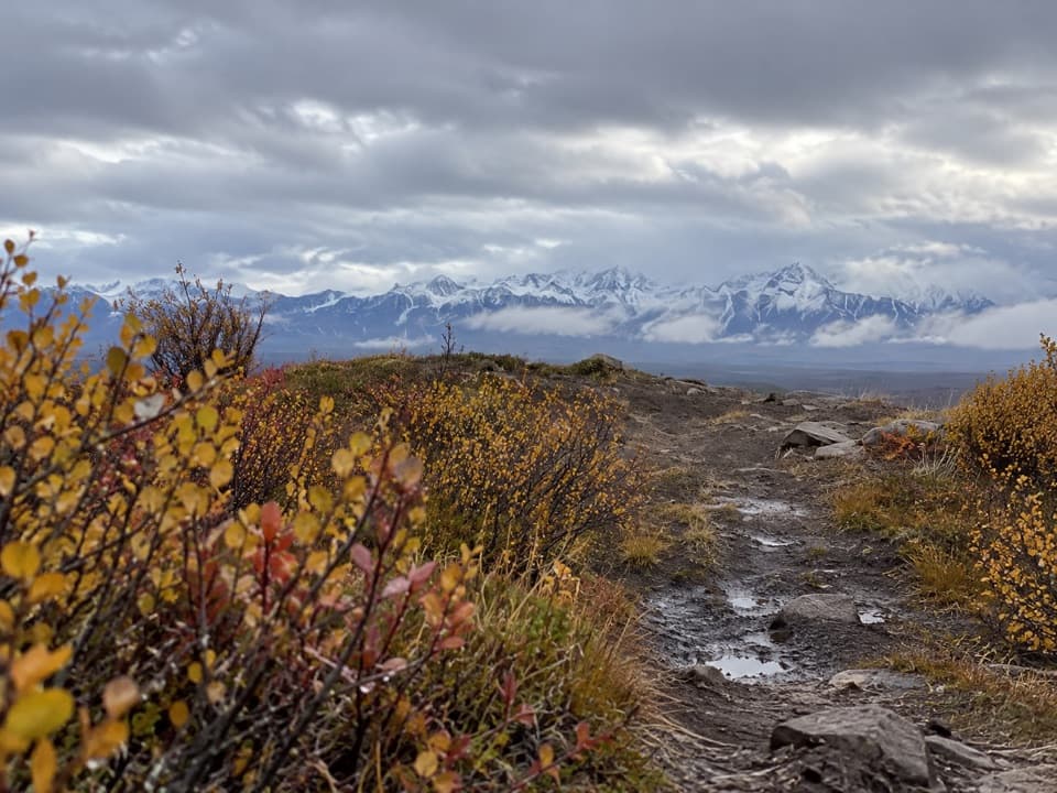
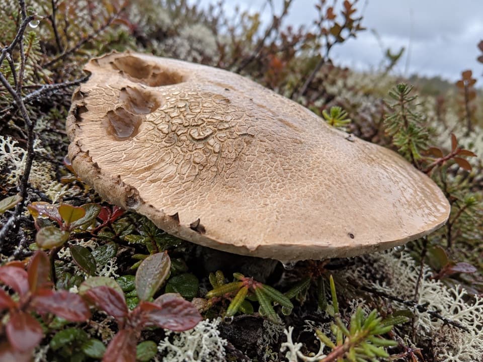
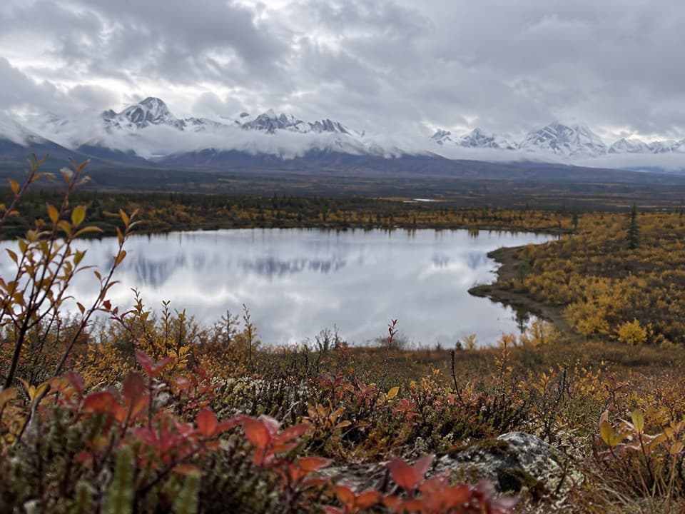
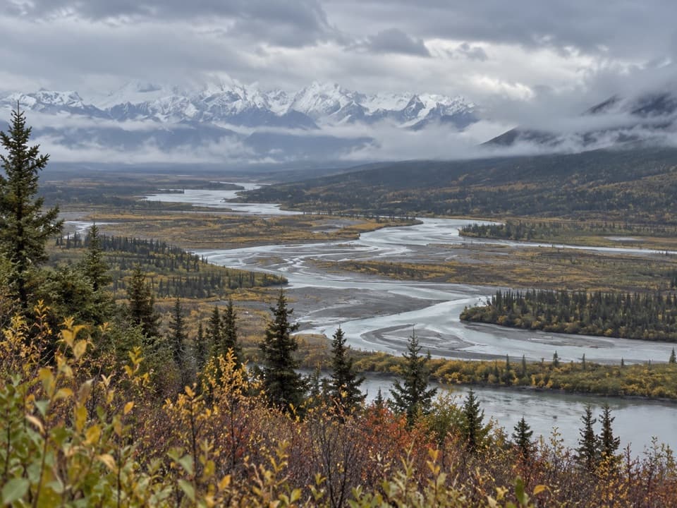
Roosevelt Lake Trail in Denali Highway

Denali Highway, AK

Roosevelt Lake Trail

A remote gravel track that stops short of the lake.

Length
10.2mi
Time
5.5hr
Elev. change
456ft
Difficulty
Moderate
  • High point 3,652 ft
Parkwolf audio tour96 stories across Denali Highway’s roads

Overview

About Roosevelt Lake Trail

Heads up

  • The mapped track stops short of Roosevelt Lake.
  • Unmarked mine-road access and public parking are unverified.

Map & elevation

The route

Loading the Denali Highway map
Full map
Elevation3,196–3,652 ft
TrailheadValdez Creek Mine Road junction (unmarked)63.20277, -147.32235
Keep this map with you offline in the Parkwolf app

Plan your hike

Before you go

Parking

No public parking point was verified. The mapped track starts at an unmarked junction with Valdez Creek Mine Road. Route descriptions put the trail start roughly 10 miles up the mine road and recommend high-clearance four-wheel drive; verify public access and where you may park before going.

Safety

Public foot access and legal parking along the mine-road corridor are unconfirmed. Its approach has multiple water crossings that can become unsafe during snowmelt or heavy rain. The mapped line ends about half a mile from the lake and has no verified shore connector.

A park ranger sits on a dash-mounted phone, talking, as Parkwolf’s Tour Guide plays “Army Cutworm Moths: A Grizzly Bear Buffet” on Grand Loop Road below Dunraven Pass in Yellowstone
Parkwolf Tour GuideThe highest, rockiest slopes around here are a summer buffet for grizzly bears.

Denali Highway Tour Guide

Your drive to Roosevelt Lake Trail, narrated.

Parkwolf is a GPS audio tour guide for Denali Highway. As you drive, it chimes in with what’s ahead: hidden gems, upcoming stops, history, geology, and wildlife, right through your car’s speakers.

See the Denali Highway audio tour
  • 96 audio storiesacross Denali Highway’s roads, triggered by GPS as you drive
  • Wildlife heatmapsfor Moose, Caribou, Bald Eagle, and 10 more
  • Works offlinemaps, 18 trails, 27 places, and audio download before you lose signal
  • CarPlay readysimple controls built for the drive
★★★★★
“Fantastic app with many points of information… It’s great to just turn on while you’re driving and it gives you an audio tour of the national Park. We love it!!!!”
JMJamesApp Store review
Download Parkwolf on the App StoreGet Parkwolf on Google Play

4.7 from 8,600+ ratings

Trail guide

Hiking Roosevelt Lake Trail

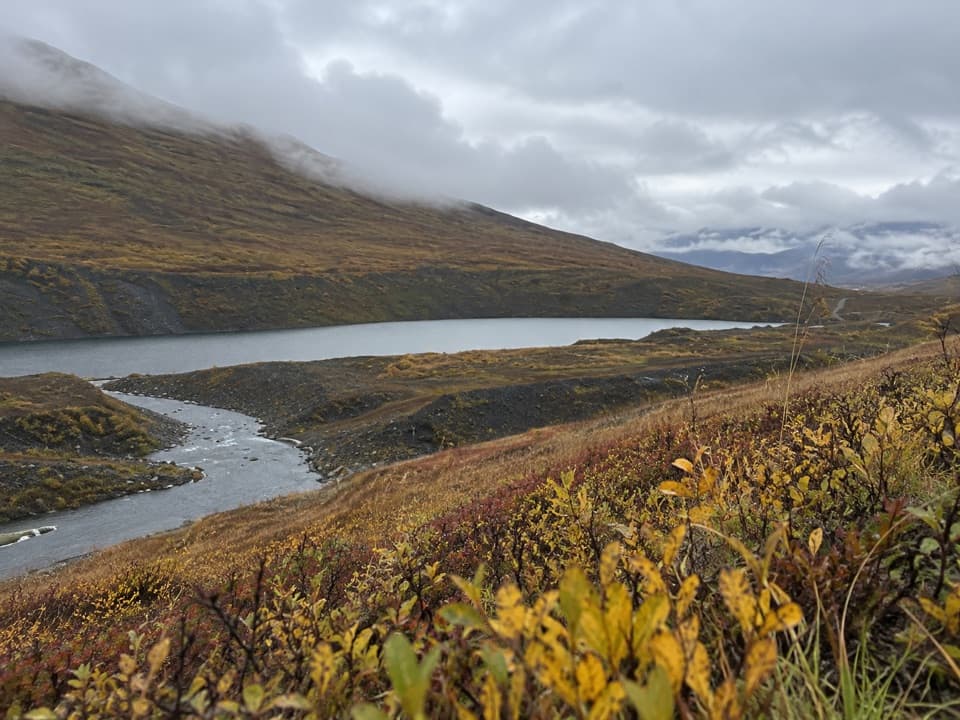
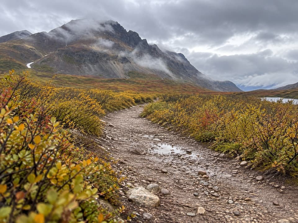
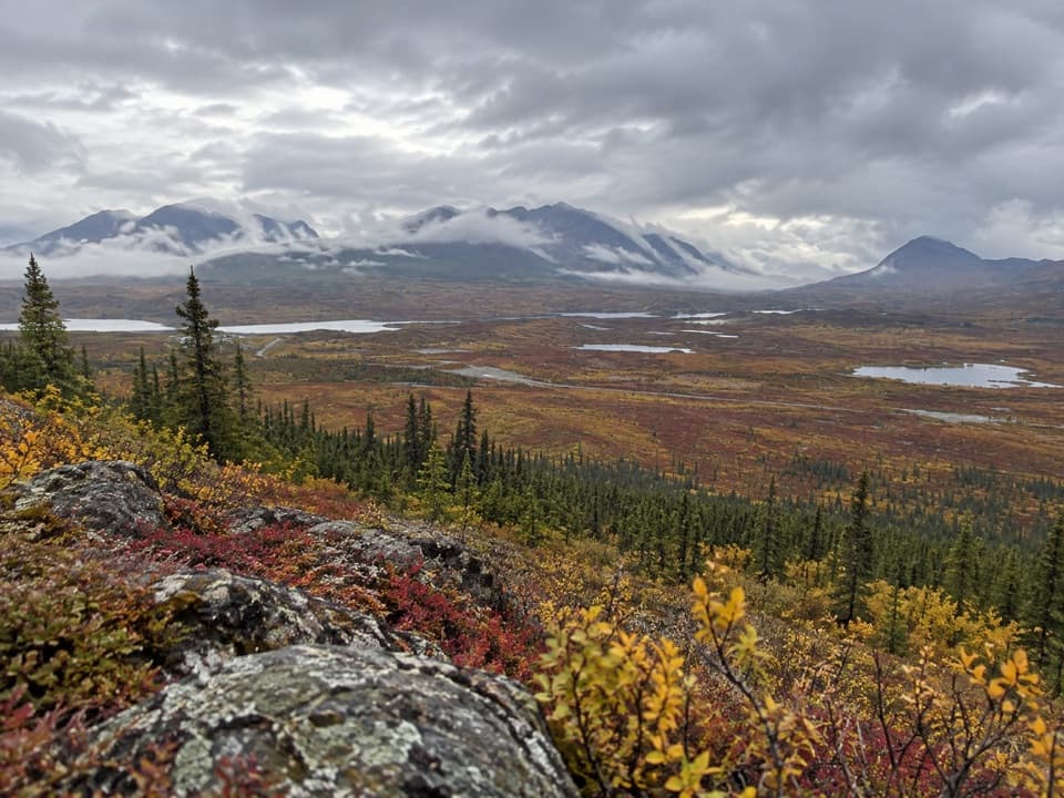
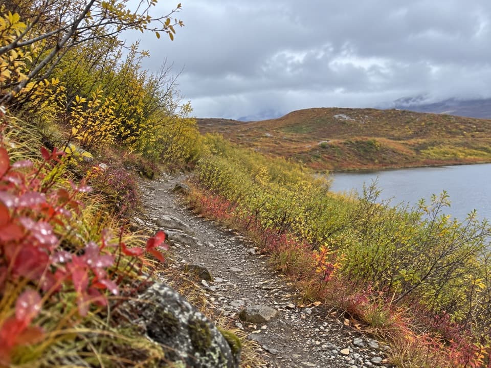
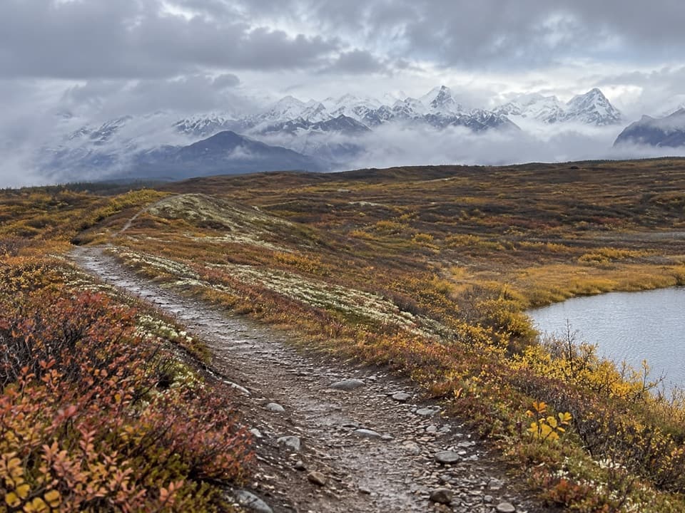
The mapped walkRoosevelt Lake Trail is a remote gravel track in the Clearwater Mountains.

Roosevelt Lake Trail is a remote gravel track in the Clearwater Mountains. The named section runs 5.08 miles each way; walking the mapped corridor out and back is 10.16 miles, about five to six hours. That distance starts where the track meets Valdez Creek Mine Road. It does not include the approach road or guarantee a vehicle can reach the start.

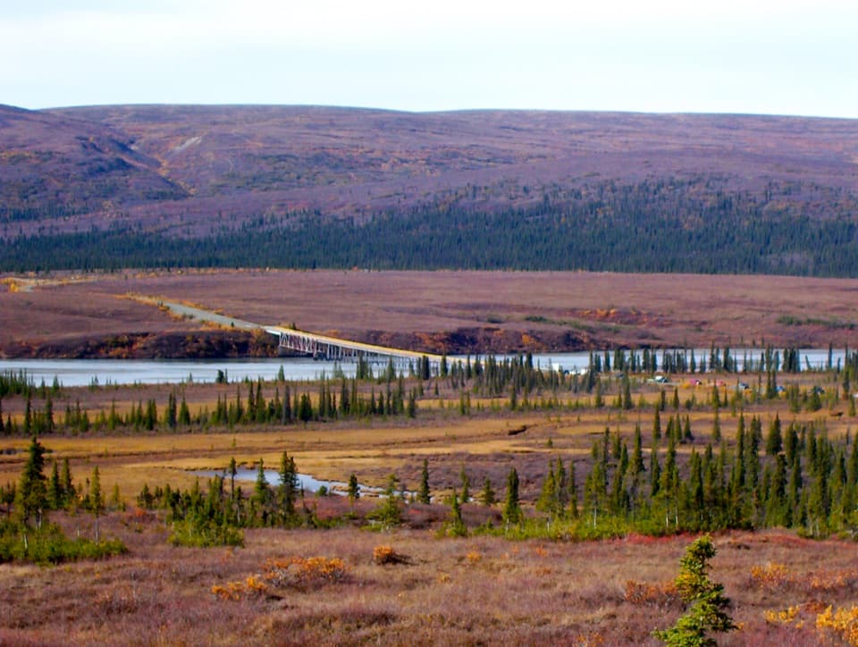
Getting to the startThe access road is unmarked off the Denali Highway east of the Susitna River.

The access road is unmarked off the Denali Highway east of the Susitna River. Available route descriptions say high-clearance four-wheel drive can reach the trail start after roughly 10 miles, and the road itself sometimes becomes part of the walk. Walking that approach both ways could bring the trip to about 30 miles. No public parking or current foot access along this mining-road corridor could be confirmed. Alaska DNR lists a historic Paxson-Denali route in the wider Valdez Creek area, but its record doesn't show that it follows this road to the named track. Confirm access and legal parking before setting out.

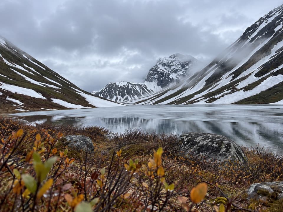
Where the mapped line endsThe track follows a gravel route through open mountain country and ends about half a mile in a…

The track follows a gravel route through open mountain country and ends about half a mile in a straight line from Roosevelt Lake. No connected footpath to the shore was found, so don't assume this mapped walk reaches the water. The mine-road approach has multiple water crossings; high snowmelt or heavy rain can make them unsafe or strand vehicles. Their precise locations and current conditions are unknown.

Wildlife

Wildlife in Denali Highway

All Denali Highway wildlife maps

Sighting maps show where each species has been reported across Denali Highway. Wildlife moves, so no sighting is guaranteed.

Parkwolf’s Denali Highway ranking

Top-rated trails in Denali Highway

All 18 trails
  1. 1Landmark Gap Trail NorthEasy · 5.1 mi
  2. 2Swede Mountain TrailChallenging · 1.8 mi
  3. 3Tangle Lakes Foot TrailEasy · 1 mi
  4. 4Maclaren Summit TrailChallenging · 19 mi
  5. 5Glacier Gap Lake to Sevenmile Lake TrailChallenging · 17 mi
  6. 6Osar Lake TrailModerate · 14.2 mi

Take Parkwolf to Denali Highway.

The audio tour guide for the drive, plus offline maps, trails, and wildlife heatmaps for when the signal drops.

4.7 from 8,600+ ratings

Download Parkwolf on the App StoreGet Parkwolf on Google Play