Taiga Trail in Denali National Park

Denali National Park, AK

Taiga Trail

Gentle one-way forest connector from the Denali Visitor Center to the Horseshoe Lake Trail

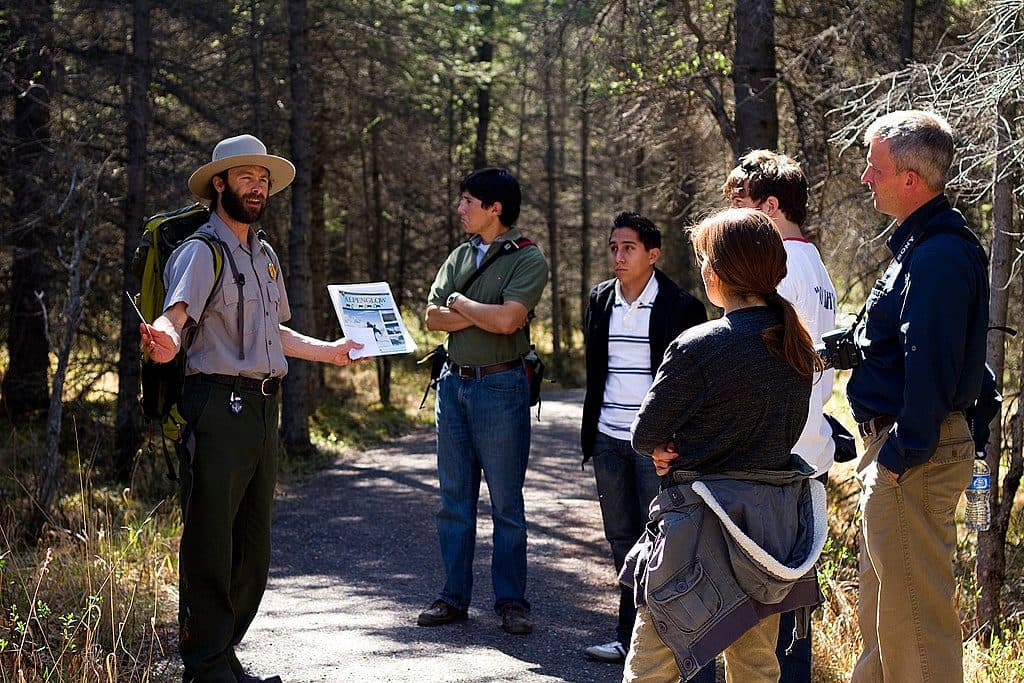
Photo: Wikimedia Commons
Length
1mi
Time
30min
Elev. change
148ft
Difficulty
Easy
  • No dogs
  • High point 1,883 ft

Hear the audio tour

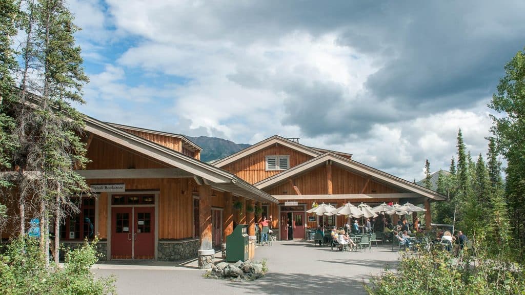
Denali Visitor Center Campus

Overview

About Taiga Trail

Taiga Trail is a gentle, approximately 1.0-mile one-way connector from the Denali Visitor Center to the Horseshoe Lake Trail. It runs through spruce and aspen forest, crosses the Denali Park Road, and links the entrance-area trail network; it is not a closed loop. The mapped corridor follows gravel, pebblestone, and dirt tread with open steps across drainage ditches and generally modest grades, including sections up to about 15%. Allow roughly 30–45 minutes one way. This entry stores the physical corridor once; a visitor who walks back to the Denali Visitor Center should plan on roughly 2.0 miles total along the same route.

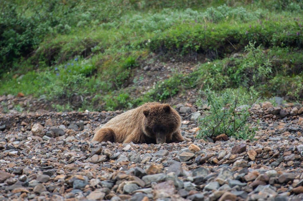
The trail starts at the Denali Visitor Center area, with the mapped tread beginning a short distance from the building. At the far end, continue onto the Horseshoe Lake Trail, or use the junctions to connect with Rock Creek and Mount Healy routes. The experience is primarily a useful forest connector rather than a destination hike, with limited vistas but a quiet boreal-forest feel and opportunities to notice spruce, aspen, berries, birds, squirrels, and moose sign.

Park at the Denali Visitor Center and follow the signed path to the trail. Pets are not permitted on this trail. Wildlife is common in Denali, so give moose and other animals plenty of space and follow park wildlife-safety guidance. The narrow tread, open drainage steps, and occasional muddy or slippery sections mean the route is not officially wheelchair accessible. Trail access is year-round, but visitor facilities and surface conditions vary by season; carry layers and use extra care after rain, during freeze-thaw, or when snow and ice are present.

Why go

  • Useful one-way connector between the Denali Visitor Center and Horseshoe Lake Trail
  • Gentle gravel-and-dirt tread through spruce and aspen forest
  • Junctions allow longer connections to Rock Creek and Mount Healy routes

Heads up

  • Point-to-point route requires a return trip or a separate endpoint plan
  • Mostly forested with limited vistas
  • Narrow sections and open drainage steps are not officially wheelchair accessible

Map & elevation

The route

Loading the Denali map
Full map
Elevation1,736–1,883 ft
TrailheadDenali Visitor Center63.73093, -148.91717
Keep this map with you offline in the Parkwolf app

Plan your hike

Before you go

Parking

Park at the Denali Visitor Center. The signed trail begins a short walk from the building; follow the path to the mapped Taiga Trail tread. The far end meets the Horseshoe Lake Trail, so plan a return along the same corridor or a separate connection if continuing onward.

Safety

Wildlife is common—give moose and other animals plenty of space and follow Denali wildlife-safety guidance. The trail has open drainage steps, narrow sections, and muddy or slippery surfaces after rain or during seasonal freeze-thaw. Pets are not permitted on this trail, and it is not officially wheelchair accessible.

1 active Denali alert

  • InfoDenali Park Road open to Mile 30; heavy equipmentThe Denali Park Road is open to Mile 30 (Teklanika River); stay alert for heavy equipment traveling on the road. Check current park conditions before traveling.Official details
Denali alerts
A park ranger sits on a dash-mounted phone, talking, as Parkwolf’s Tour Guide plays “Army Cutworm Moths: A Grizzly Bear Buffet” on Grand Loop Road below Dunraven Pass in Yellowstone
Parkwolf Tour GuideThe highest, rockiest slopes around here are a summer buffet for grizzly bears.

Denali Tour Guide

Your drive to Taiga Trail, narrated.

Parkwolf is a GPS audio tour guide for Denali National Park. As you drive, it chimes in with what’s ahead: hidden gems, upcoming stops, history, geology, and wildlife, right through your car’s speakers.

See the Denali audio tour

Recorded for this area

Denali Visitor Center Campus
Listen
“You're coming up on the Denali Visitor Center campus, which is the main hub for the park entrance area.”

Plays near this trailhead in the Parkwolf Denali Tour Guide.

More stories near here in the app

  • Murie Science and Learning Center
  • Horseshoe Lake Trail
  • Camp Robbers of the North: Canada Jays
  • Riley Creek Campground & Mercantile
  • 113 audio storiesacross Denali’s roads, triggered by GPS as you drive
  • Wildlife heatmapsfor Grizzly Bear, Wolf, Canada Lynx, and 13 more
  • Works offlinemaps, 17 trails, 60 places, and audio download before you lose signal
  • CarPlay readysimple controls built for the drive
★★★★★
“Fantastic app with many points of information… It’s great to just turn on while you’re driving and it gives you an audio tour of the national Park. We love it!!!!”
JMJamesApp Store review
Download Parkwolf on the App StoreGet Parkwolf on Google Play

4.7 from 8,600+ ratings

Wildlife

Wildlife in Denali

All Denali wildlife maps

Sighting maps show where each species has been reported across Denali. Wildlife moves, so no sighting is guaranteed.

Keep exploring

Near Taiga Trail

See it all on the map

Trails that start nearby

Places near the trailhead

Parkwolf’s Denali ranking

Top-rated trails in Denali

All 17 trails
  1. 1Eielson Alpine TrailChallenging · 1.6 mi
  2. 2Horseshoe Lake TrailEasy · 2 mi
  3. 3Savage Alpine TrailChallenging · 4.2 mi
  4. 4Savage River Loop TrailEasy · 2 mi
  5. 5McKinley River Bar TrailEasy · 5 mi
  6. 6Mount Healy Overlook TrailChallenging · 5.4 mi

Take Parkwolf to Denali.

The audio tour guide for the drive, plus offline maps, trails, and wildlife heatmaps for when the signal drops.

4.7 from 8,600+ ratings

Download Parkwolf on the App StoreGet Parkwolf on Google Play