Parking
Park at the Denali Visitor Center lot for the primary start. The route ends by Riley Creek Mercantile and Riley Creek Campground, so arrange a return or use the Bike Path for the approximately 3.0-mile loop.
Denali National Park, AK
Historic creekside walk from the Denali Visitor Center to Riley Creek
Overview
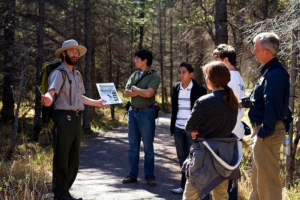
This 1.6-mile one-way walk links the Denali Visitor Center with Riley Creek Campground and Riley Creek Mercantile. The compacted-gravel route descends through spruce forest along Hines and Riley creeks, passing interpretive stops, historic McKinley Station remnants, and the 1922 Alaska Railroad trestle. Expect about an hour one way, roughly 100 feet of total elevation change, and short grades up to 8.5%.
Start at the Denali Visitor Center and follow signs for McKinley Station; a short side trip uses part of the Triple Lakes Trail. The route is point-to-point, so arrange a return from Riley Creek or combine it with the Bike Path for the approximately 3.0-mile loop described by the National Park Service.
This is an entrance-area connector rather than a wilderness hike. Stay on the marked path and do not disturb historic artifacts. Compacted gravel and short grades may limit some mobility devices; winter snow and ice can obscure features and make footing slick.
Map & elevation
Plan your hike

The highest, rockiest slopes around here are a summer buffet for grizzly bears.
Denali Tour Guide
Parkwolf is a GPS audio tour guide for Denali National Park. As you drive, it chimes in with what’s ahead: hidden gems, upcoming stops, history, geology, and wildlife, right through your car’s speakers.
See the Denali audio tourRecorded for this area
Denali Visitor Center Campus“You're coming up on the Denali Visitor Center campus, which is the main hub for the park entrance area.”
Plays on the road 0.1 mi from the trailhead in the Parkwolf Denali Tour Guide.
More stories near here in the app
“Fantastic app with many points of information… It’s great to just turn on while you’re driving and it gives you an audio tour of the national Park. We love it!!!!”


Wildlife
 715 sightingsGrizzly BearMost seen around 8 PMSighting map
 74 sightingsWolfMost seen around 8 PMSighting map
 49 sightingsCanada LynxMost seen around 9 PMSighting map
 795 sightingsMooseMost seen around 7 AMSighting map
 917 sightingsCaribouMost seen around 7 AMSighting map
 405 sightingsDall's SheepMost seen around 7 PMSighting map
Sighting maps show where each species has been reported across Denali. Wildlife moves, so no sighting is guaranteed.
Keep exploring
 ModerateRock Creek Trail2.4 mi · 2 hr · At the trailheadPoint-to-point forest walk from the Denali Visitor Center to the sled dog kennels
 EasyRoadside Trail1.8 mi · 2 hr · At the trailheadOne-way forest route from the Denali Visitor Center to Park Headquarters and the Sled Dog Kennels
 EasyTaiga Trail1 mi · 30 min · At the trailheadGentle one-way forest connector from the Denali Visitor Center to the Horseshoe Lake TrailEasySpruce Forest Trail0.3 mi · 15 min · 0.1 mi awayFlat 0.3-mile loop through quiet boreal spruce and birch near the Denali Visitor Center.
 EasyMorino Trail0.2 mi · 15 min · 0.1 mi awayShort spruce-forest connector between sections of the McKinley Station Trail
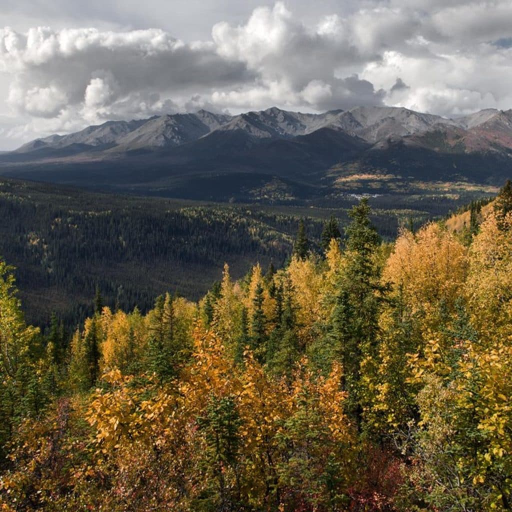 ChallengingMount Healy Overlook Trail5.4 mi · 4 hr · 0.3 mi awayA steep 2.7-mile climb to a windy overlook above Denali’s entrance area.
 EasyHorseshoe Lake Trail2 mi · 2 hr · 0.5 mi awayModerate 2-mile loop to Horseshoe Lake with beaver habitat and Nenana River views
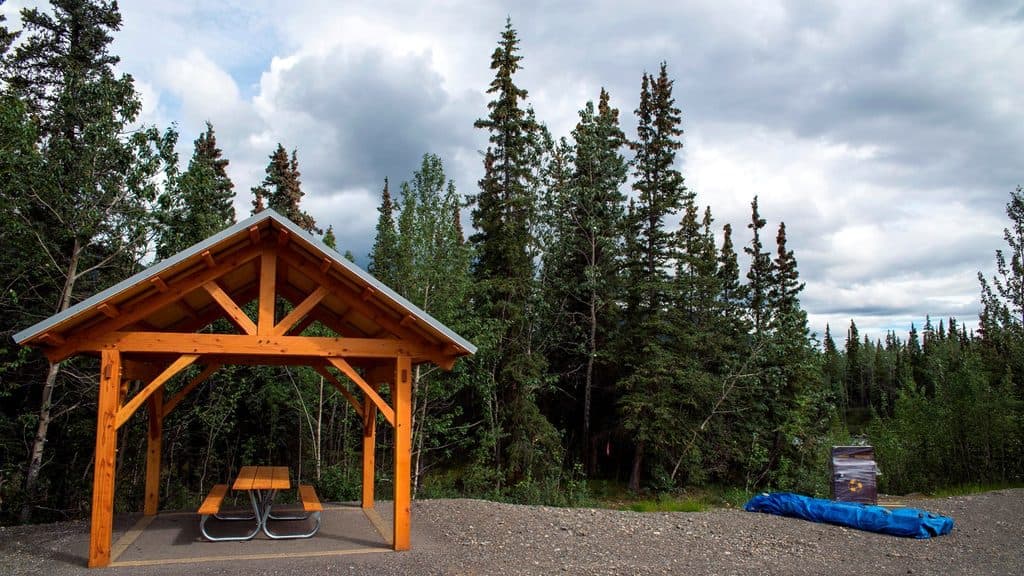 EasyRiley Creek Trail1.6 mi · 48 min · 0.8 mi awayEasy creek-side out-and-back near Denali's entrance
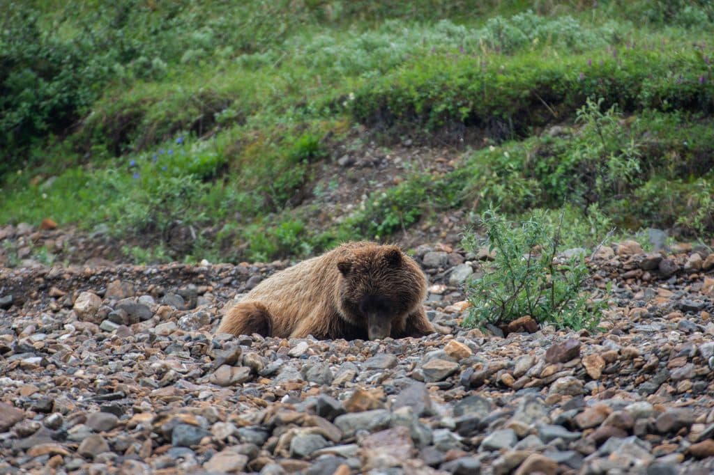 Sight · At the trailheadResting GrizzlyBeloved life-size bronze bear by the Visitor Center
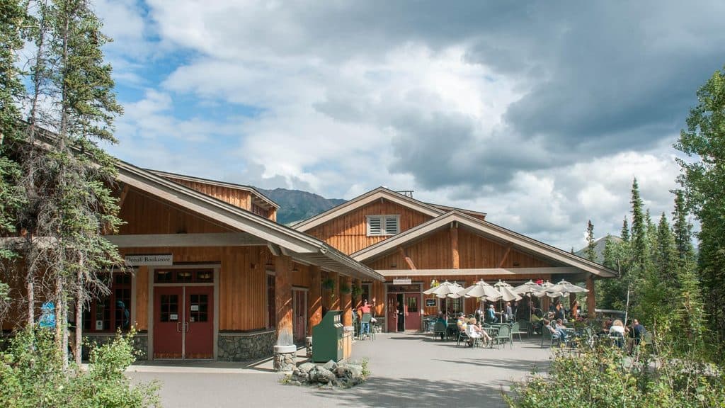 Store · 0.1 mi awayDenali National Park & Preserve Park StoreOfficial park bookstore with Denali-only gear, next to Morino Grill
 Restaurant · 0.1 mi awayMorino GrillThe park’s lone eatery for quick, warm fare by the Visitor Center
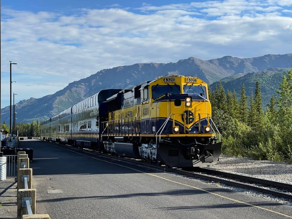 Sight · 0.1 mi awayDenali Train DepotAlaska Railroad’s gateway platform beside the main visitor center
 Visitor center · 0.2 mi awayMurie Science and Learning CenterDenali’s winter hub for films, rangers, and free snowshoes
 Campground · 0.6 mi awayRiley Creek CampgroundThe park’s most convenient base camp with showers, laundry, and a store
 Store · 0.6 mi awayRiley Creek MercantileCampground check-in hub with a handy store and showers nearby
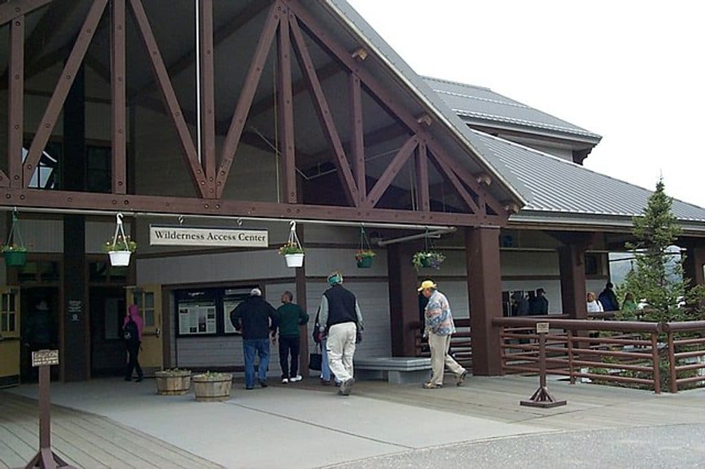 Visitor center · 0.7 mi awayWilderness Access CenterBus and campground hub with coffee, tickets, and restrooms
Parkwolf’s Denali ranking

The audio tour guide for the drive, plus offline maps, trails, and wildlife heatmaps for when the signal drops.