Overview
About Pistyll Cain
Why stop
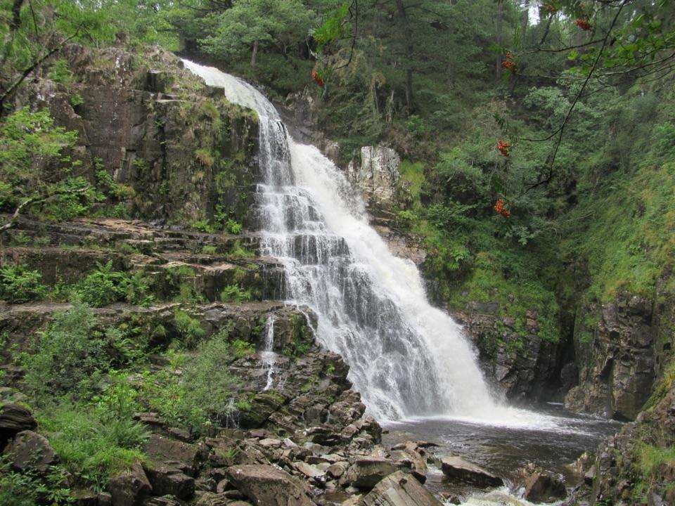
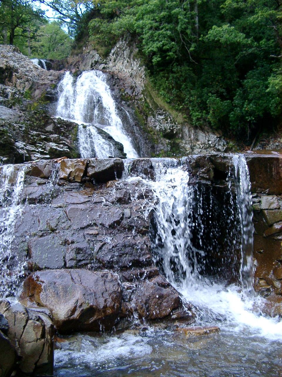
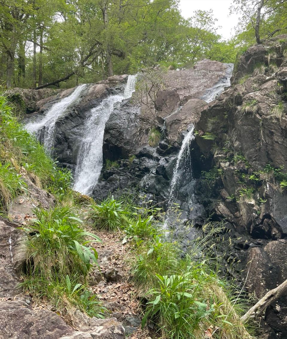
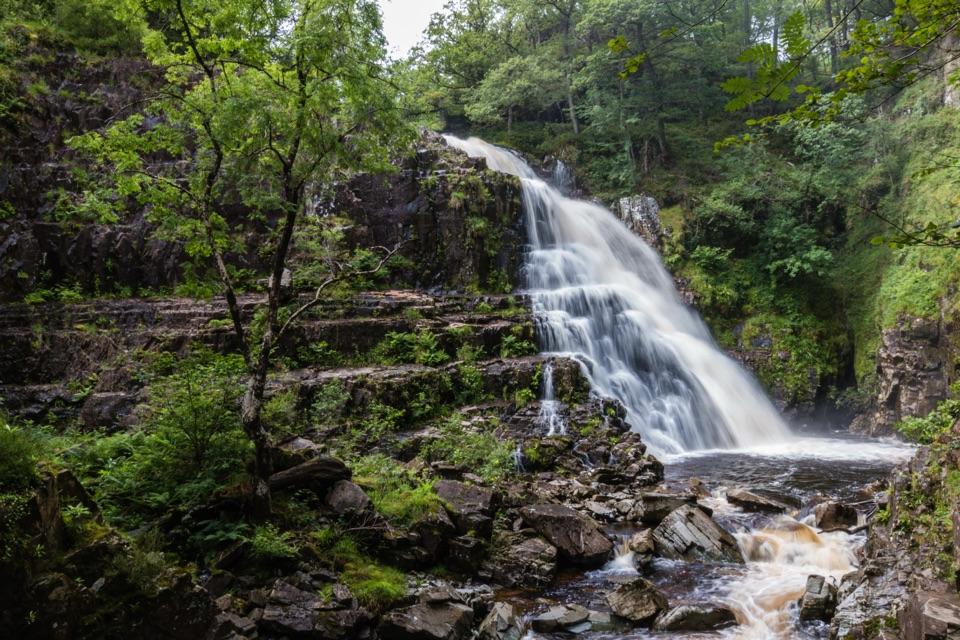
- Stepped falls framed by deep green woodland
- Excellent pairing with nearby Rhaeadr Mawddach
Heads up
- A walk through the forest is needed to reach the falls
- Rough ground and unprotected drops near the gorge
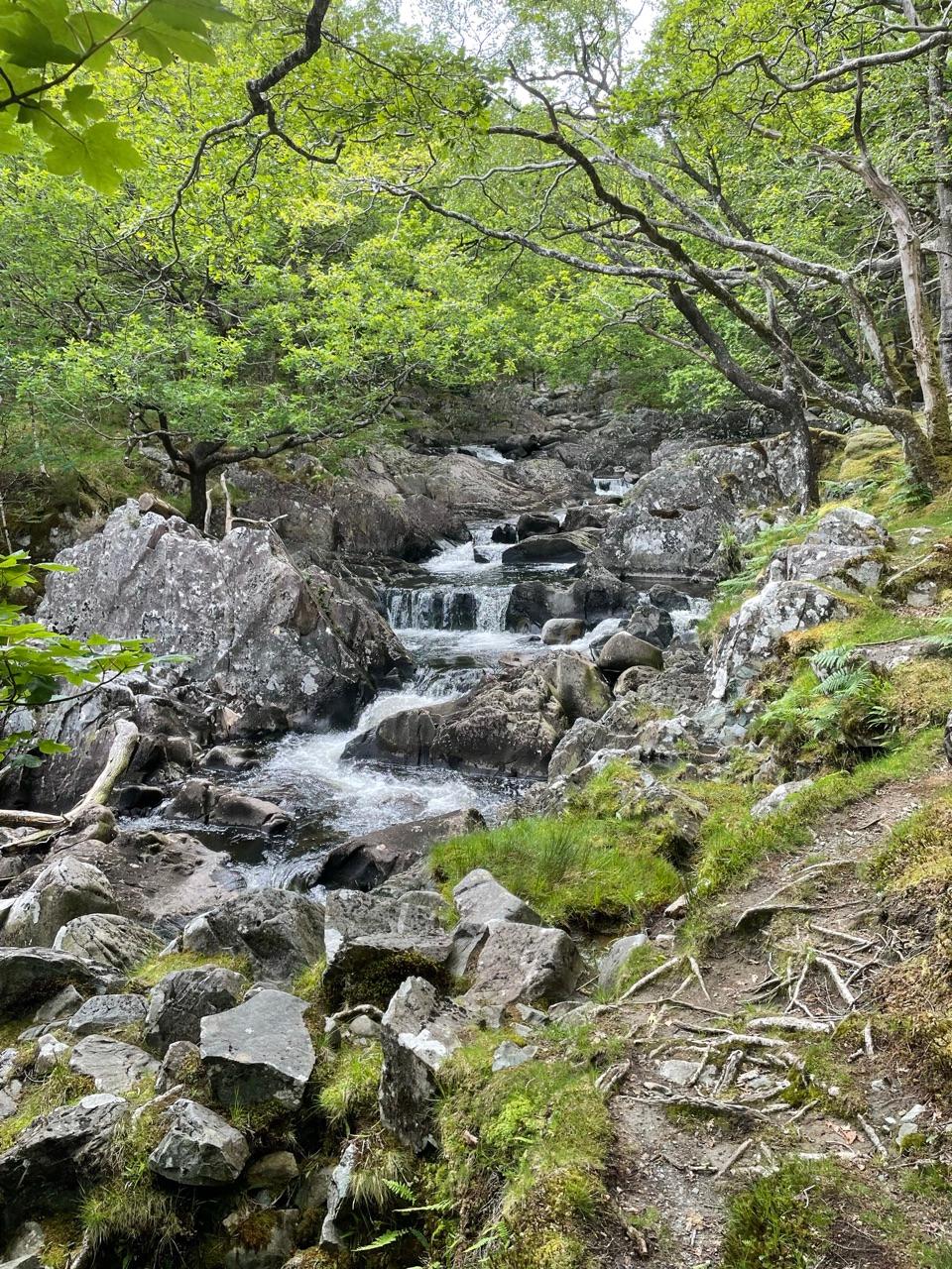
Pistyll Cain is a waterfall on the Afon Cain in the wooded Coed y Brenin forest, where the river drops through a rocky gorge. It's a walk rather than a roadside pull-in, and it pairs naturally with nearby Rhaeadr Mawddach: the forest and rivers are as much a part of the outing as the falls themselves.
 Parkwolf’s verdictWhy stop
Map
Where it is

The highest, rockiest slopes around here are a summer buffet for grizzly bears.
Eryri Tour Guide
Your drive to Pistyll Cain, narrated.
Parkwolf is a GPS audio tour guide for Eryri National Park. As you drive, it chimes in with what’s ahead: hidden gems, upcoming stops, history, geology, and wildlife, right through your car’s speakers.
See the Eryri audio tourRecorded for this area
Coed y Brenin Forest Trails“Coed y Brenin is coming up, Britain's first purpose-built mountain biking centre. Marked rides range from family-friendly to technical, with a skills area to practise before heading out.”
Plays on the road 1.5 km from Pistyll Cain in the Parkwolf Eryri Tour Guide.
More stories near here in the app
- The Walls Made to Give Way
- The Forest That Fueled Iron
- Rhaeadr Ddu at Ganllwyd
- The King's Guards at Pont Ty'n-y-groes
- 298 audio storiesacross Eryri’s roads, triggered by GPS as you drive
- Wildlife heatmapsfor Grey Heron, European Badger, Tawny Owl, and 10 more
- Works offlinemaps, 122 trails, 84 places, and audio download before you lose signal
- CarPlay readysimple controls built for the drive
“Fantastic app with many points of information… It’s great to just turn on while you’re driving and it gives you an audio tour of the national Park. We love it!!!!”


Guide
More about Pistyll Cain
Walk to the waterfallsStart at Tyddyn Gwladys car park for the waymarked Waterfalls and Goldmines Trail, a 3.6 km (2.
Start at Tyddyn Gwladys car park for the waymarked Waterfalls and Goldmines Trail, a 3.6 km (2.2 mile) circular walk taking about 1½ hours. It follows the Mawddach through a steep-sided wooded valley to the waterfalls, then returns along the other side of the river. Most of the route uses forest roads, with a very rough section before the falls and a short, steep climb afterwards.
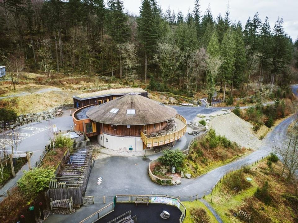
There are picnic tables by the river at the car park. The waterfall itself has no facilities; plan for a walk into the forest rather than driving to the pin.
The gorge and its historyThe falls are especially dramatic after rain, when the paths and rocks can also be slippery.
The falls are especially dramatic after rain, when the paths and rocks can also be slippery. Stay on the marked trail and away from the river edges: the gorges have unprotected drops, and old mine workings along the route can be unsafe. For a photograph, use a safe position on the trail and include the dark rock around the water to show the enclosed setting.
The same loop passes the former Gwynfynydd goldmine, which closed in 1999. It's a reminder that this quiet wooded valley was once a working landscape as well as a place to see waterfalls.
Wildlife
Wildlife in Eryri
 80 sightingsGrey HeronMost seen around 7 AMSighting map
 10 sightingsEuropean BadgerMost seen around 8 PMSighting map
 17 sightingsTawny OwlMost seen around 6 AMSighting map
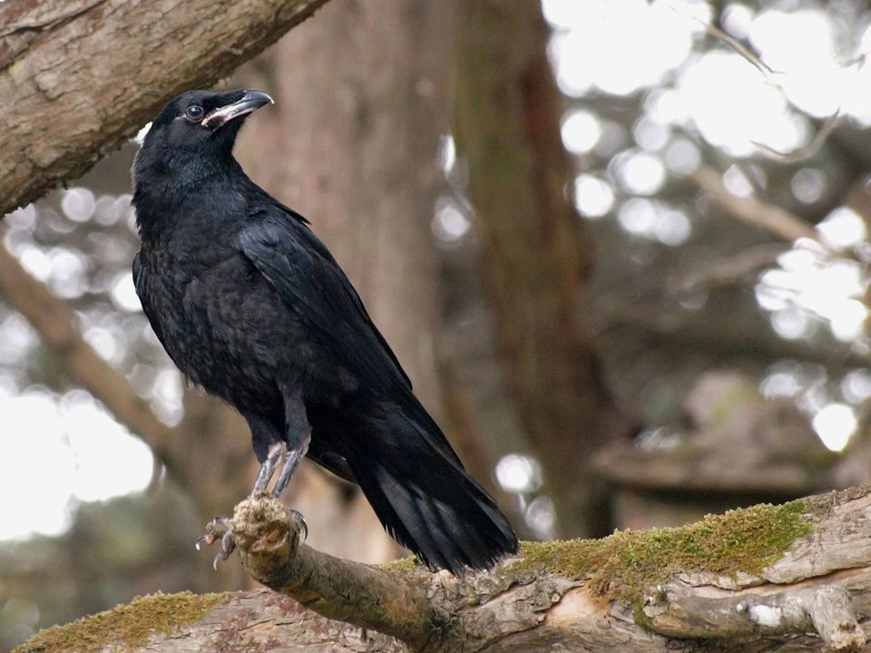 36 sightingsCommon RavenMost seen around 8 AMSighting map
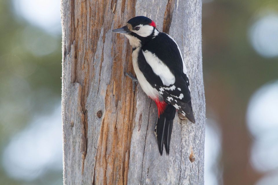 21 sightingsGreat Spotted WoodpeckerMost seen around 7 AMSighting map
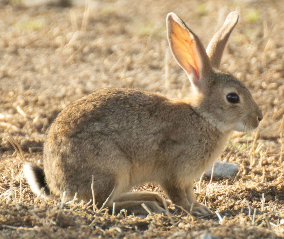 18 sightingsEuropean RabbitMost seen around 7 AMSighting map
Sighting maps show where each species has been reported across Eryri. Wildlife moves, so no sighting is guaranteed.