Parking
Start at the Coed y Brenin Visitor Centre car park. Parking charges apply and overnight parking is not allowed.
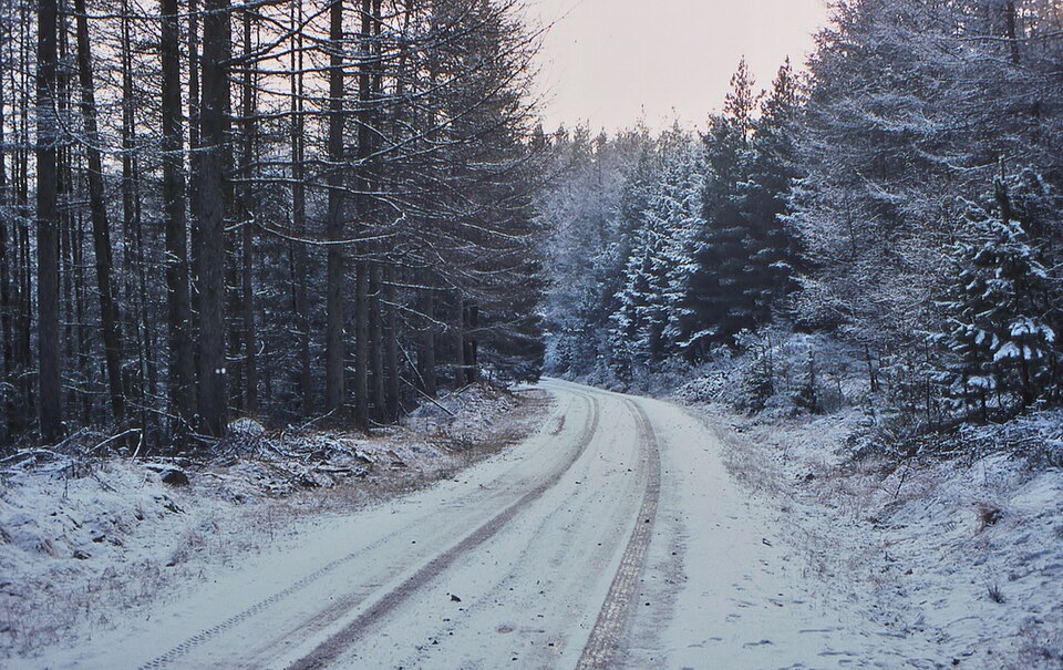
Eryri National Park, WA
Easy surfaced loop through boulder woodland to a picnic viewpoint
Overview
Map & elevation
Plan your hike

The highest, rockiest slopes around here are a summer buffet for grizzly bears.
Eryri Tour Guide
Parkwolf is a GPS audio tour guide for Eryri National Park. As you drive, it chimes in with what’s ahead: hidden gems, upcoming stops, history, geology, and wildlife, right through your car’s speakers.
Recorded for this trailhead
Coed y Brenin Forest Trails“You're coming up on Coed y Brenin, Britain's first purpose-built mountain biking centre, with forest trails for riders and walkers alike.”
Plays as you drive up to this trailhead in the Parkwolf Eryri Tour Guide.
More stories near here in the app
“Fantastic app with many points of information… It’s great to just turn on while you’re driving and it gives you an audio tour of the national Park. We love it!!!!”


Trail guide
An easy loop of 1.3 km (3/4 mile) in total, starting and finishing at the Coed y Brenin Visitor Centre car park. Allow about three quarters of an hour. The climb adds up to only 39 m (127 ft), and the steepest section reaches 12% (1:8).
From the car park the trail heads into atmospheric boulder-strewn woodland, then rises gently on a steady gradient to the Cefndeuddwr viewpoint and picnic area, where the payoff is an open outlook toward Y Garn and the Rhinogydd. From there the loop turns back through the trees to the car park. Brown waymarker symbols mark the way throughout, and signs along the route explain the forest around you.
There is also an accessible parking area at the viewpoint itself. To use it, ask at the visitor centre for the key and directions.
Start from the visitor centre car park. Parking charges apply, and overnight parking is not allowed.
Dogs are welcome in the forest park. Keep them under control, and on a lead where required. On open-access land a lead is required from 1 March to 31 July.
This is a short, low-key woodland stroll with one good view, not a mountain day. Its strengths are the easy surface, the benches and the picnic area, which make it a sensible choice with young children, pushchairs or limited time.
Wildlife
 77 sightingsGrey HeronMost seen around 7 AMSighting map
 17 sightingsTawny OwlMost seen around 6 AMSighting map
 32 sightingsCommon RavenMost seen around 8 AMSighting map
 21 sightingsGreat Spotted WoodpeckerMost seen around 7 AMSighting map
 18 sightingsEuropean RabbitMost seen around 7 AMSighting map
 161 sightingsViviparous LizardMost seen around 10 AMSighting map
Sighting maps show where each species has been reported across Eryri. Wildlife moves, so no sighting is guaranteed.
Keep exploring
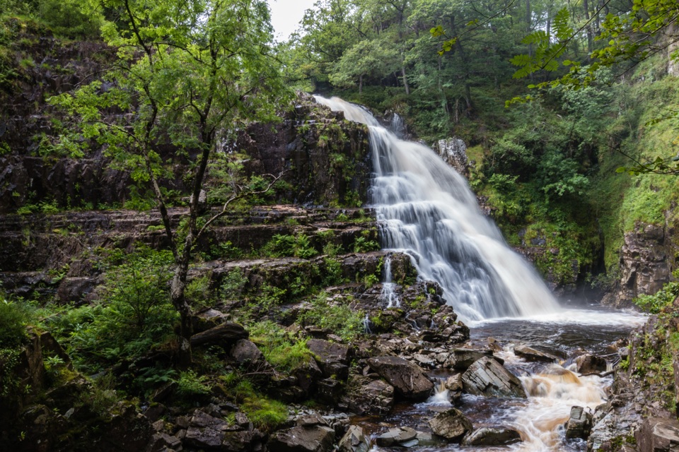 ChallengingGain Waterfall Trail6.8 km · 2 hr · 0.1 km awaySteep forest loop to twin waterfalls and old Gwynfynydd gold workings
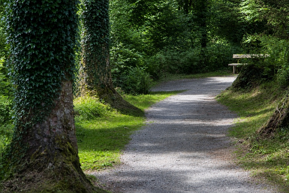 EasyAfon Eden Trail1.6 km · 45 min · 0.1 km awayA step-free woodland descent to the Afon Eden's rocky picnic spotEasyAfon Eden Trail (Riverside Loop)1.3 km · 45 min · 0.1 km awayShort yellow-marked riverside loop with one gentle climb back up
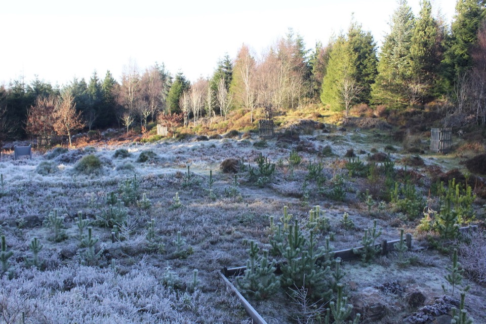 ModerateBloomeries Trail4.5 km · 1.8 hr · 0.1 km awayClimb forest roads and Sarn Helen to a medieval ironworking site
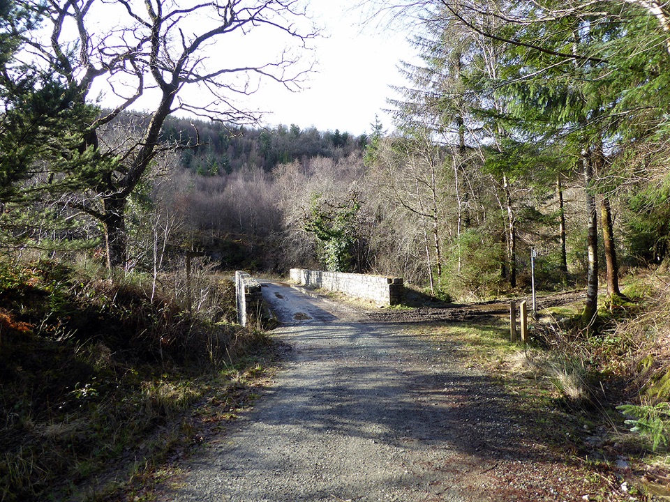 ChallengingPont Penmaen Trail8.5 km · 3.3 hr · 0.1 km awayStrenuous scooter-friendly forest loop to a footbridge over the Afon Gain
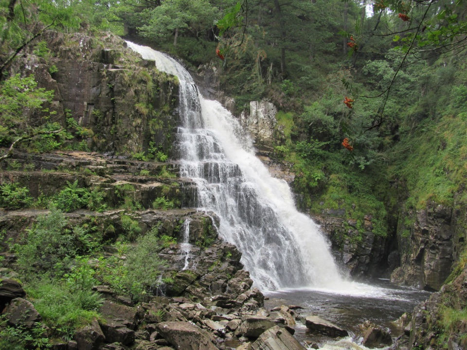 ModerateWaterfalls and Goldmines Trail3.6 km · 1.5 hr · 1.4 km awayTwo waterfalls, gold-mine ruins and an aerial bridge on one forest loop
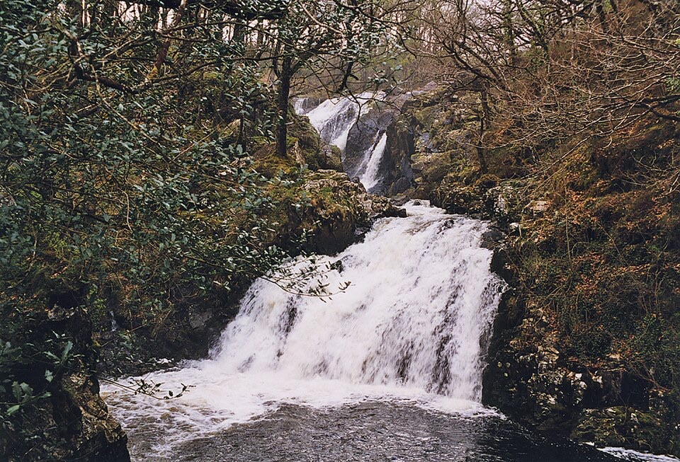 ModerateRhaeadr Ddu and Coed Ganllwyd Walk3.2 km · 1.5 hr · 2.7 km awayTwo cascades, mossy oak woodland and a Latin-inscribed rock in two miles
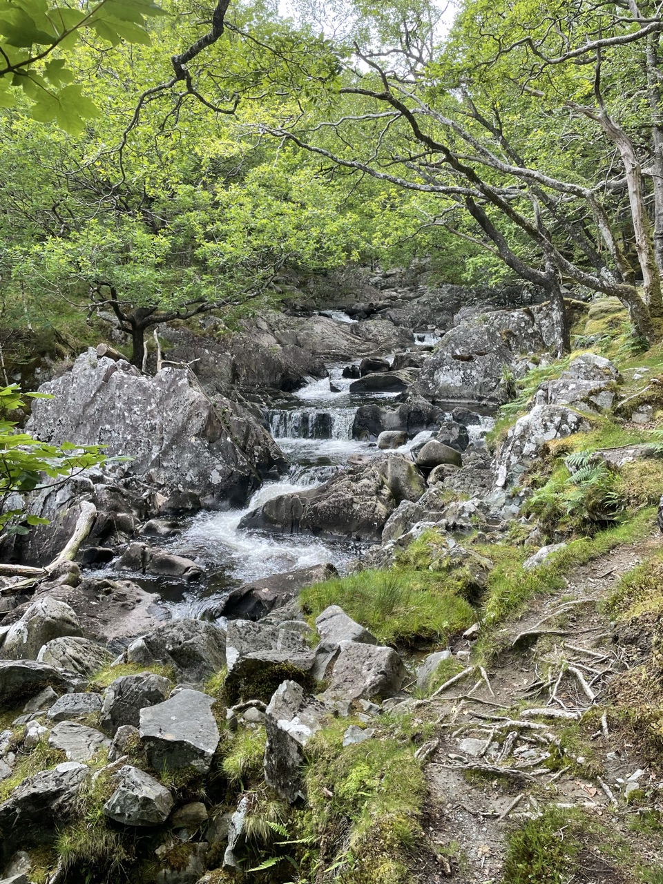 ModerateDolmelynllyn Estate Walk6.4 km · 4 hr · 2.7 km awayBlack Falls, gold-mine ruins and steep woodland on a half-day loop
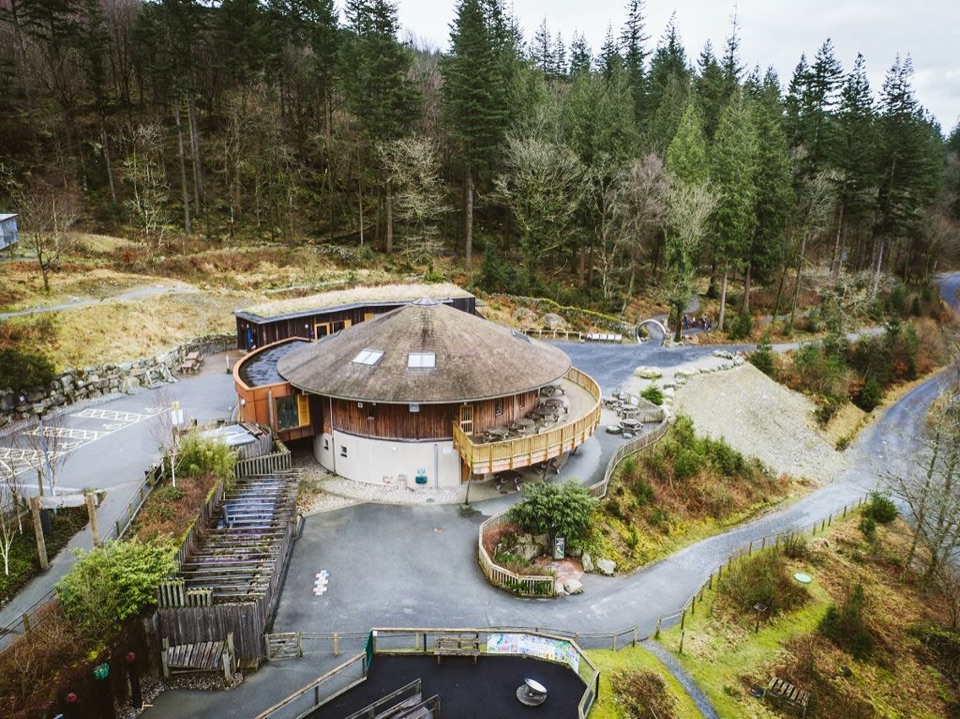 Visitor center · 0.1 km awayCoed y Brenin Visitor CentreBritain’s first purpose-built mountain-bike centre, now a quiet trailheadSight · 1.2 km awayPistyll CainA thunderous forest waterfall reached by an easy-moderate river walk
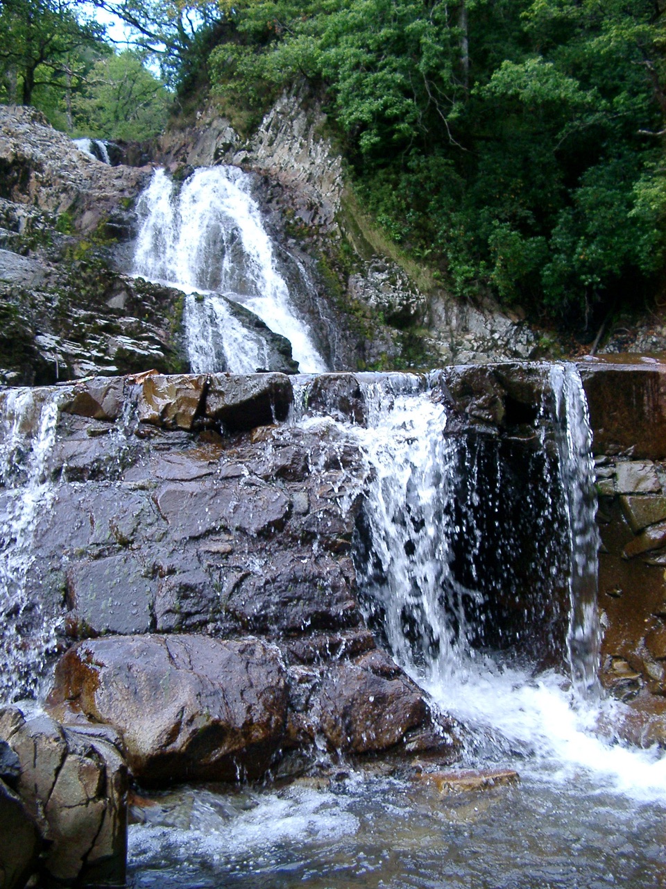 Sight · 1.4 km awayRhaeadr MawddachA rain-fed cascade beside old gold workings in deep woodland
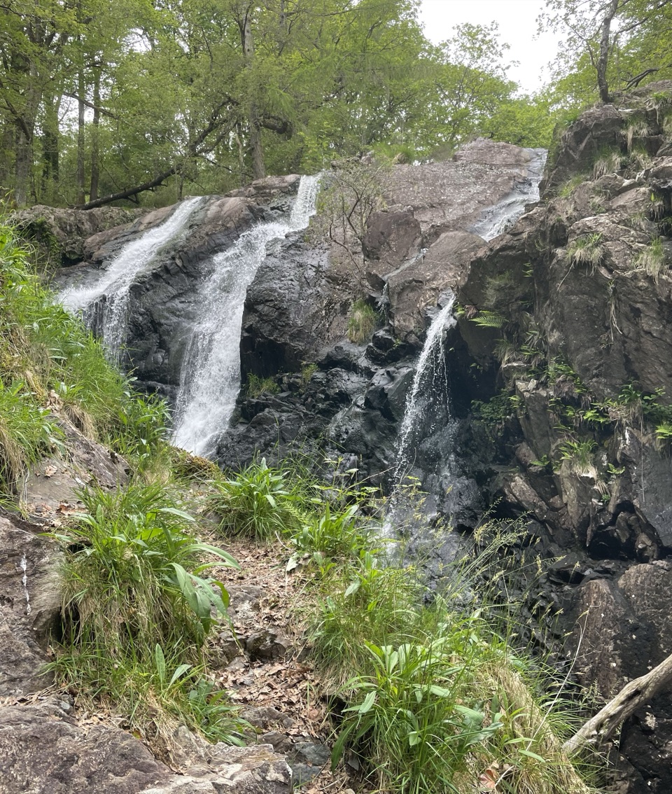 Sight · 2.6 km awayRhaeadr Ddu (Black Falls)Two mossy cascades drop about 60 feet through ancient oak woodland
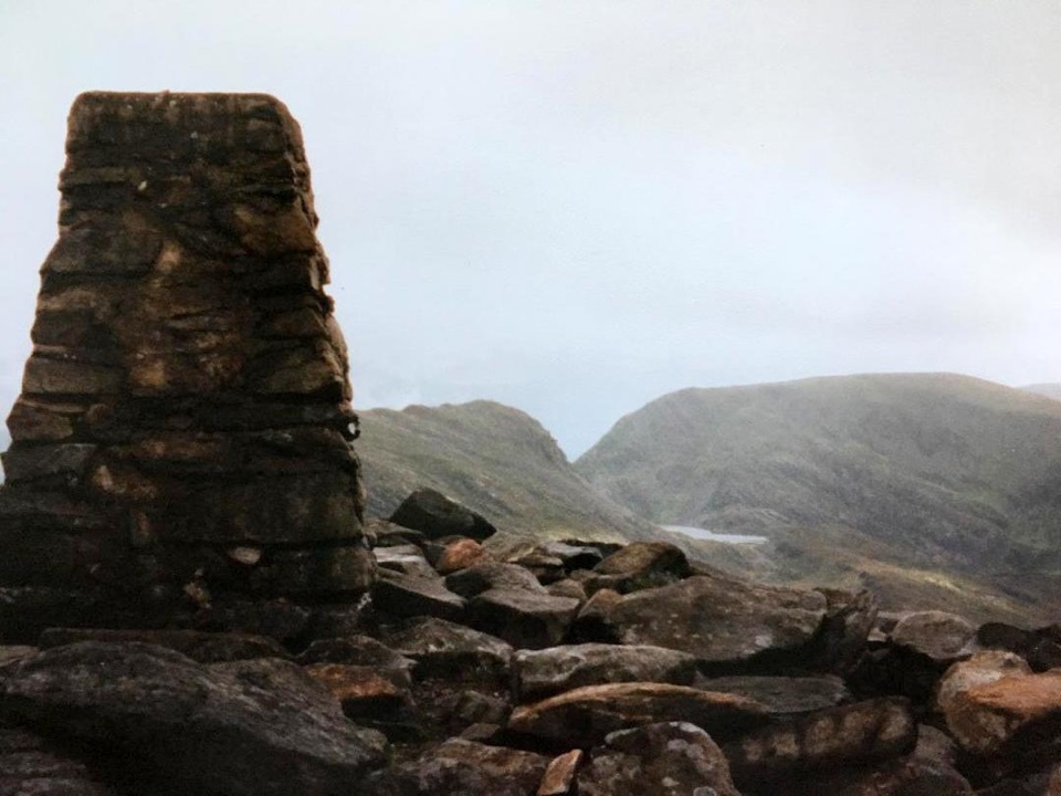 Sight · 6.9 km awayRhinog FawrA rough-edged summit with big views and a wilder feel.
 Sight · 7.5 km awayCymer AbbeyThree medieval arches frame the Mawddach valley
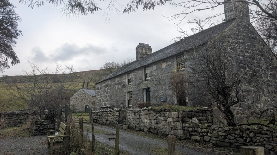 Sight · 7.7 km awayYr YsgwrnA preserved farmhouse where Welsh poetry meets wartime memory
 Sight · 9.2 km awayDolgellauGrey dolerite townscape and tangled lanes beneath Cader Idris
Parkwolf’s Eryri ranking

The audio tour guide for the drive, plus offline maps, trails, and wildlife heatmaps for when the signal drops.




