Rhaeadr Mawddach in Eryri National Park

Sight · Eryri National Park

Rhaeadr Mawddach

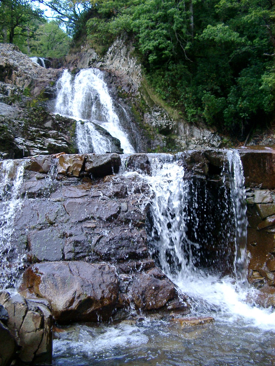
A rain-fed cascade beside old gold workings in deep woodland

Photo: CC BY 2.5
Type
Sight
Nearest trail
1.3 km
Audio stories
2 nearby
  • Trailhead
  • Parking
  • Picnic tables

Hear the audio tour

Coed y Brenin Forest Trails

Overview

About Rhaeadr Mawddach

Why stop

  • Two waterfalls and old mine remains in one compact loop

Heads up

  • Rough, slippery sections and a short steep climb near the falls
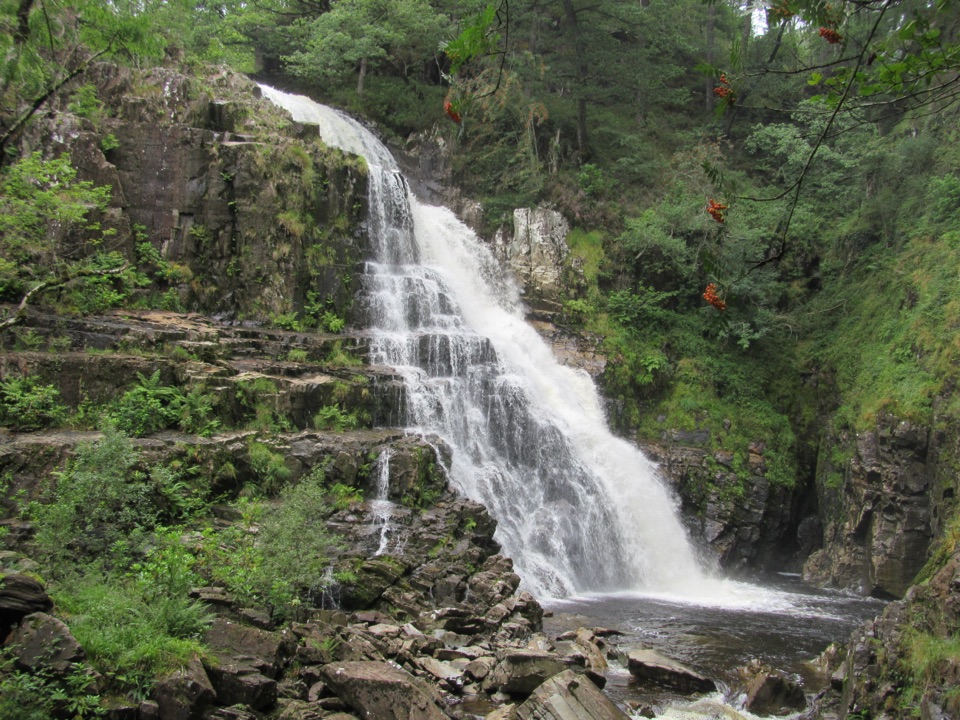
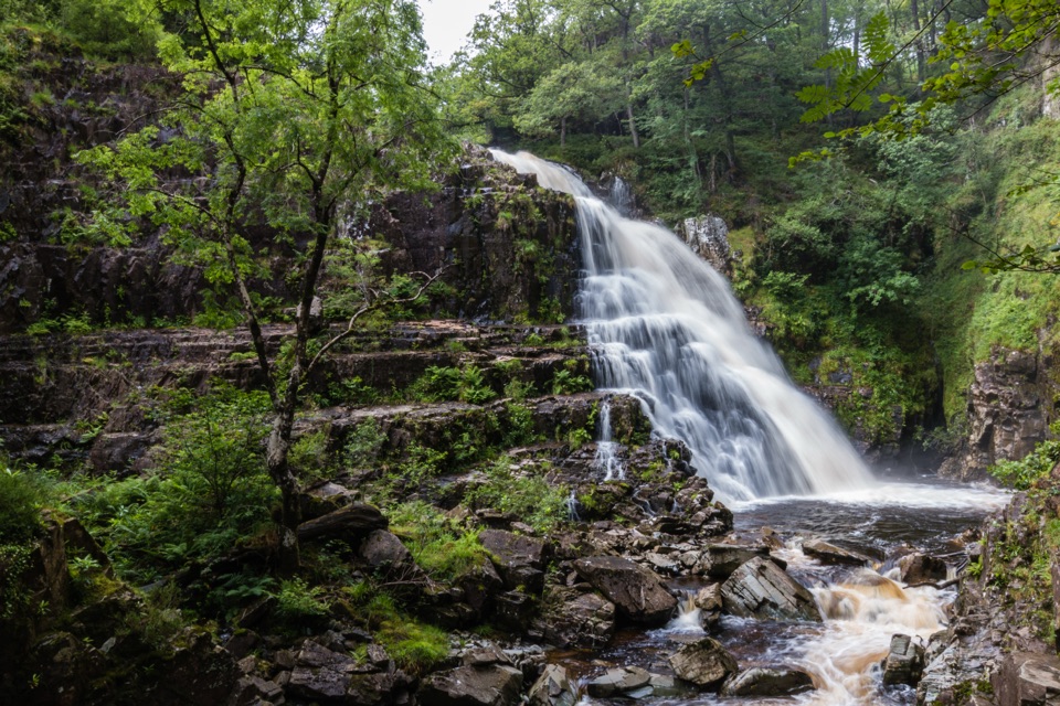
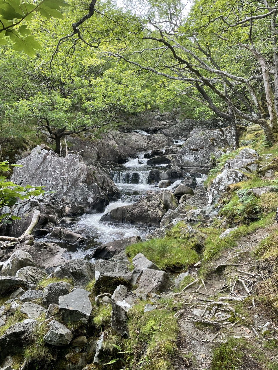
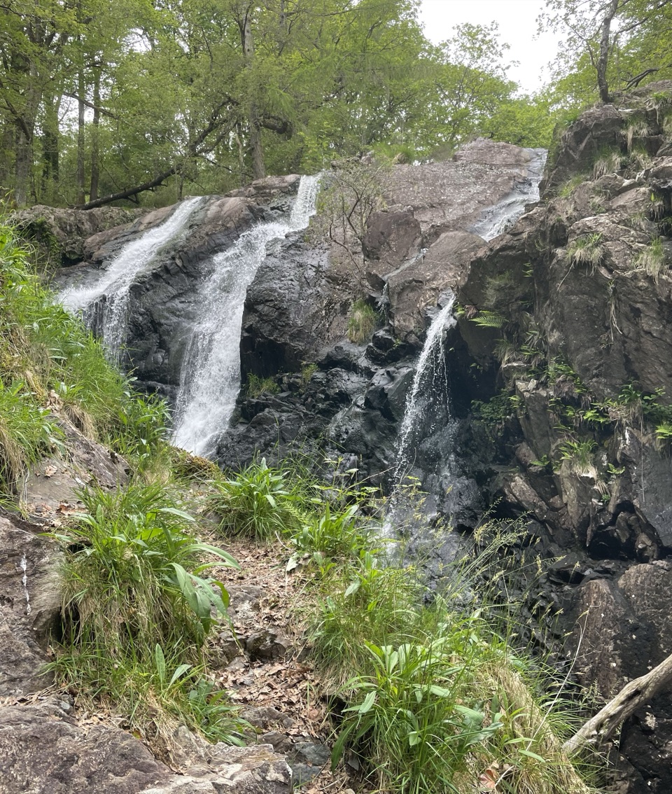
Rhaeadr Mawddach is a multi-step waterfall on the Afon Mawddach, where water slides over dark, tilted rock in a wooded gorge. It is not a drive-up lookout: the payoff comes at the end of a short circular walk, and the combination of tumbling water, forest, river and old mining remains makes it more memorable than a single isolated cascade. The same route also visits nearby Pistyll Cain, so this is a good two-waterfall stop rather than a one-photo detour.
Parkwolf’s verdictWhy stop

Map

Where it is

Loading the Eryri map
Full map
SightRhaeadr Mawddach52.83035, -3.87794
Keep this map with you offline in the Parkwolf app

Plan your stop

Before you go

Best time to go

For the quietest experience, arrive early or choose a weekday. The waterfall is a better subject on a wet or overcast day than in harsh midday sun, while softer woodland light helps show the separate drops and wet rock. Bring waterproof shoes, a layer for the shaded valley and rain protection. Mobile coverage can be limited, so download any audio trail before setting out if you want the history of the former gunpowder works along the route.

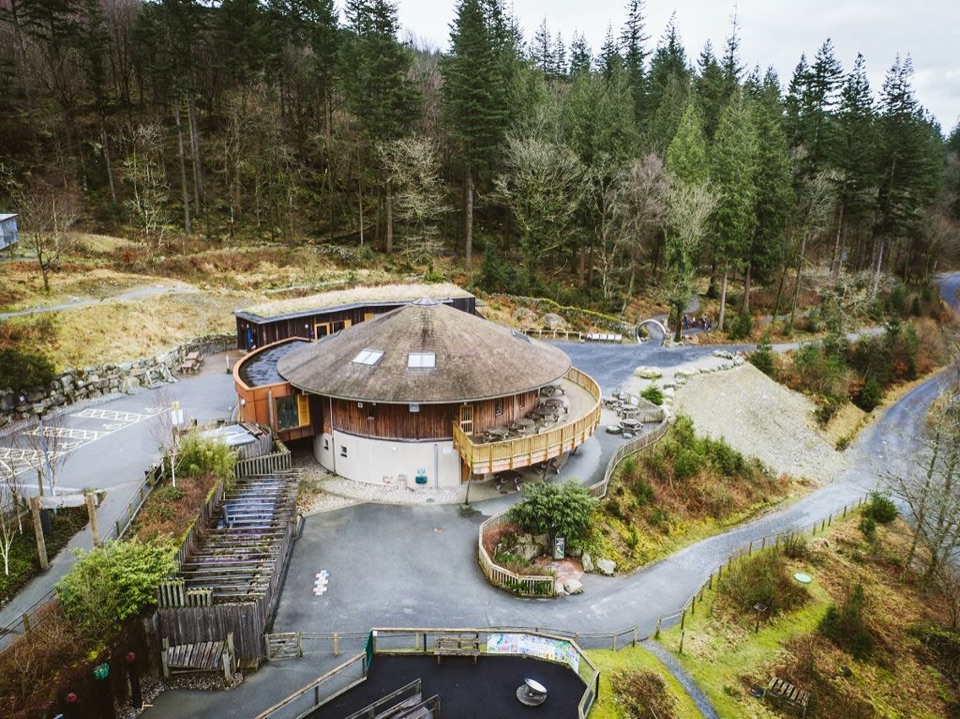
Tyddyn Gwladys is a basic trailhead with free parking and picnic tables beneath trees beside the river. Do not count on toilets or refreshments there. The larger Coed y Brenin Visitor Centre is the place to handle those needs before or after the walk. Keep clear of the water and gorge edge, especially after heavy rain, and do not climb on the wet rocks around the falls.


A park ranger sits on a dash-mounted phone, talking, as Parkwolf’s Tour Guide plays “Army Cutworm Moths: A Grizzly Bear Buffet” on Grand Loop Road below Dunraven Pass in Yellowstone
Parkwolf Tour GuideThe highest, rockiest slopes around here are a summer buffet for grizzly bears.

Eryri Tour Guide

Your drive to Rhaeadr Mawddach, narrated.

Parkwolf is a GPS audio tour guide for Eryri National Park. As you drive, it chimes in with what’s ahead: hidden gems, upcoming stops, history, geology, and wildlife, right through your car’s speakers.

Recorded for this area

Coed y Brenin Forest Trails
0:00 / 0:34
“You're coming up on Coed y Brenin, Britain's first purpose-built mountain biking centre, with forest trails for riders and walkers alike.”

Plays on the road 1.6 km from Rhaeadr Mawddach in the Parkwolf Eryri Tour Guide.

More stories near here in the app

  • The Walls Made to Give Way
  • The Forest That Fueled Iron
  • Rhaeadr Ddu at Ganllwyd
  • The King's Guards at Pont Ty'n-y-groes
  • 298 audio storiesacross Eryri’s roads, triggered by GPS as you drive
  • Wildlife heatmapsfor Grey Heron, Tawny Owl, Common Raven, and 9 more
  • Works offlinemaps, 120 trails, 82 places, and audio download before you lose signal
  • CarPlay readysimple controls built for the drive
★★★★★
“Fantastic app with many points of information… It’s great to just turn on while you’re driving and it gives you an audio tour of the national Park. We love it!!!!”
JMJamesApp Store review
Download Parkwolf on the App StoreGet Parkwolf on Google Play

4.7 from 8,600+ ratings

Guide

More about Rhaeadr Mawddach

Walk and what to expectStart at Tyddyn Gwladys and follow the waymarked Waterfalls and Goldmines Trail.

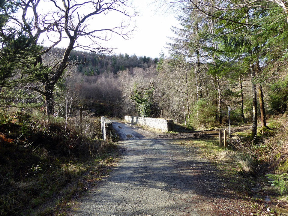
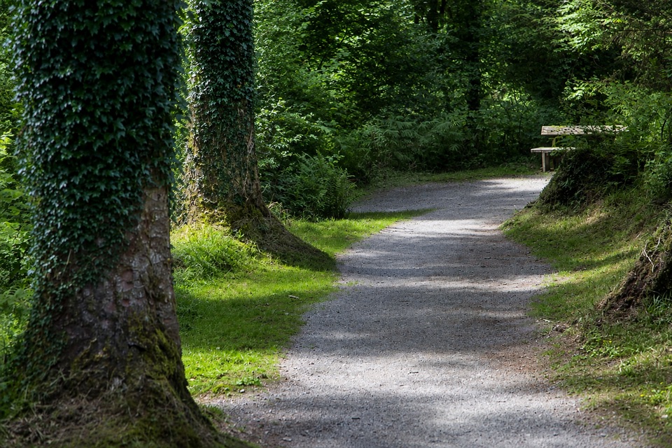
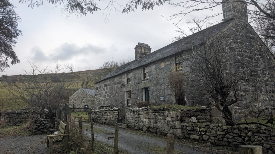
Start at Tyddyn Gwladys and follow the waymarked Waterfalls and Goldmines Trail. The circular route is about 3.6 km, graded moderate, with roughly 109 m of climbing and a typical walking time of around 1.5 hours. It follows the Mawddach through a steep-sided, heavily wooded valley, passes the remains of the Gwynfynydd goldmine, and returns across a timber bridge. The falls are most compelling after rain, when the river has real volume, but that is also when the rocks and paths are slickest.

Most of the route is forest road, but expect one rough section of private track near the waterfalls and a short, steep section at about a 20% gradient after leaving them. The route has no steps or stiles and is described as suitable for pushchairs and mobility scooters, though the rough surface and steep pitch make waterproof footwear and a little patience worthwhile. Stay on the waymarked trail: old mine workings and buildings may be unsafe, and there are unprotected drops into the river gorges.

Wildlife

Wildlife in Eryri

All Eryri wildlife maps

Sighting maps show where each species has been reported across Eryri. Wildlife moves, so no sighting is guaranteed.

Keep exploring

Near Rhaeadr Mawddach

See it all on the map

Trails nearby

More stops nearby

Parkwolf’s Eryri ranking

Top sights in Eryri

All 82 places
  1. 1Yr Wyddfa (Snowdon)Sight
  2. 2Snowdon Mountain RailwaySight
  3. 3Cader IdrisSight
  4. 4Harlech CastleSight
  5. 5Betws-y-CoedSight
  6. 6LlanberisSight

Take Parkwolf to Eryri.

The audio tour guide for the drive, plus offline maps, trails, and wildlife heatmaps for when the signal drops.

4.7 from 8,600+ ratings

Download Parkwolf on the App StoreGet Parkwolf on Google Play