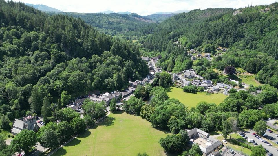
Rhinog Fawr in Eryri National Park

Sight · Eryri National Park

Rhinog Fawr

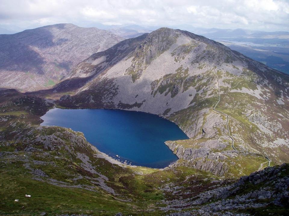
A rough-edged summit with big views and a wilder feel.

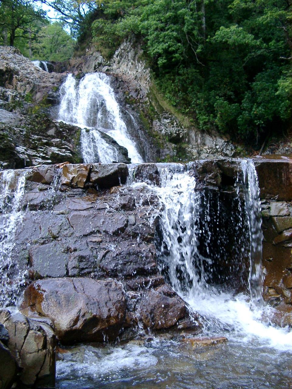
Photo: John H Darch, CC BY-SA 2.0

Type
Sight
Nearest trail
2.9 km
Audio stories
1 nearby

Hear the audio tour

The Old Seabed of the Rhinogydd
Download Parkwolf on the App StoreGet Parkwolf on Google Play

4.7 from 8,600+ ratings

Overview

About Rhinog Fawr

Why stop

  • Rugged scenery and a genuinely wild mountain feel

Heads up

  • Rough, indistinct ground demands confident navigation
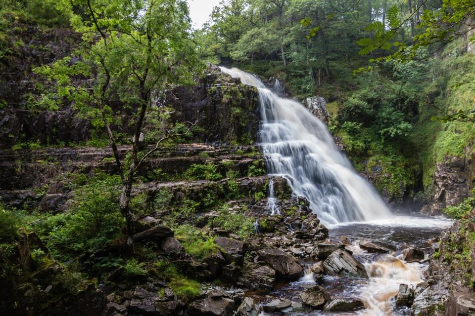
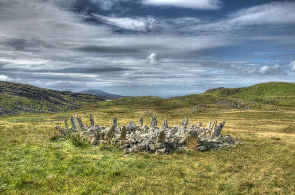
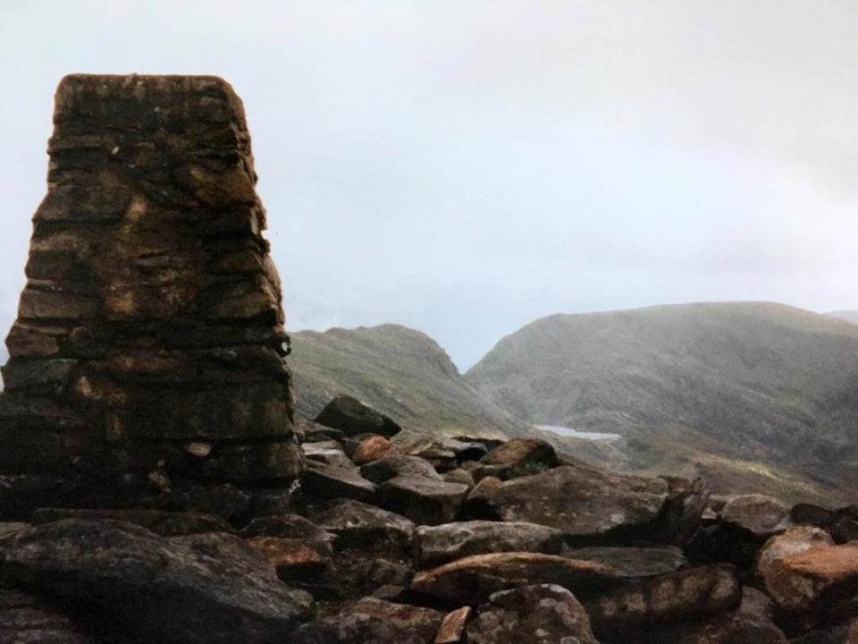
Rhinog Fawr is a 720-metre summit and one of the defining peaks of the Rhinogydd, a rugged mountain range in the quieter western side of Eryri. The summit is a proper hillwalking destination: broken rock, open heather, small tarns and a broad sense of space replace the marked paths and busy facilities found on the park's headline peaks.
Parkwolf’s verdictWhy go

Map

Where it is

Loading the Eryri map
Full map
SightRhinog Fawr52.84189, -3.99557
Keep this map with you offline in the Parkwolf app

Plan your stop

Before you go

Best time to go

Aim for a settled, reasonably dry day with plenty of daylight. The rocky ground is awkward when wet, and cloud can remove the views and make route-finding harder. Heather adds colour in summer, but it can also make the rough ground slow going.

A park ranger sits on a dash-mounted phone, talking, as Parkwolf’s Tour Guide plays “Army Cutworm Moths: A Grizzly Bear Buffet” on Grand Loop Road below Dunraven Pass in Yellowstone
Parkwolf Tour GuideThe highest, rockiest slopes around here are a summer buffet for grizzly bears.

Eryri Tour Guide

Your drive to Rhinog Fawr, narrated.

Parkwolf is a GPS audio tour guide for Eryri National Park. As you drive, it chimes in with what’s ahead: hidden gems, upcoming stops, history, geology, and wildlife, right through your car’s speakers.

See the Eryri audio tour

Recorded for this area

The Old Seabed of the Rhinogydd
0:00 / 0:29
“Near Cwm Nantcol, the Rhinogydd can look like a pile of broken stone. Their core is older than many of Eryri's volcanic rocks.”

Plays on the road 2.9 km from Rhinog Fawr in the Parkwolf Eryri Tour Guide.

More stories near here in the app

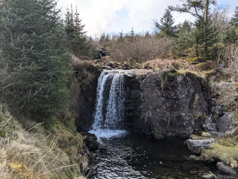
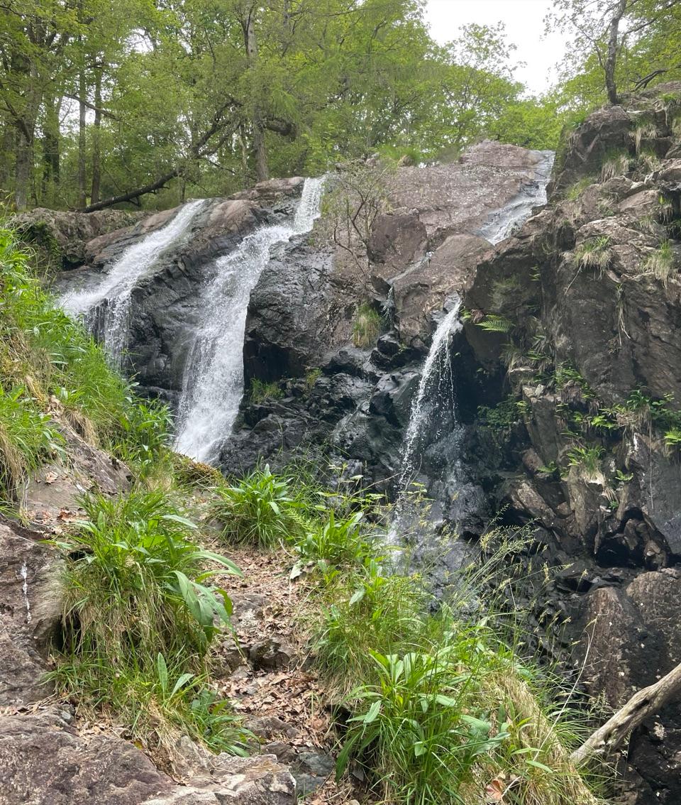
  • Nantcol Waterfalls
  • The Stripes Above Nantcol
  • The Forest That Fueled Iron
  • When Harlech Changed Hands
  • 298 audio storiesacross Eryri’s roads, triggered by GPS as you drive
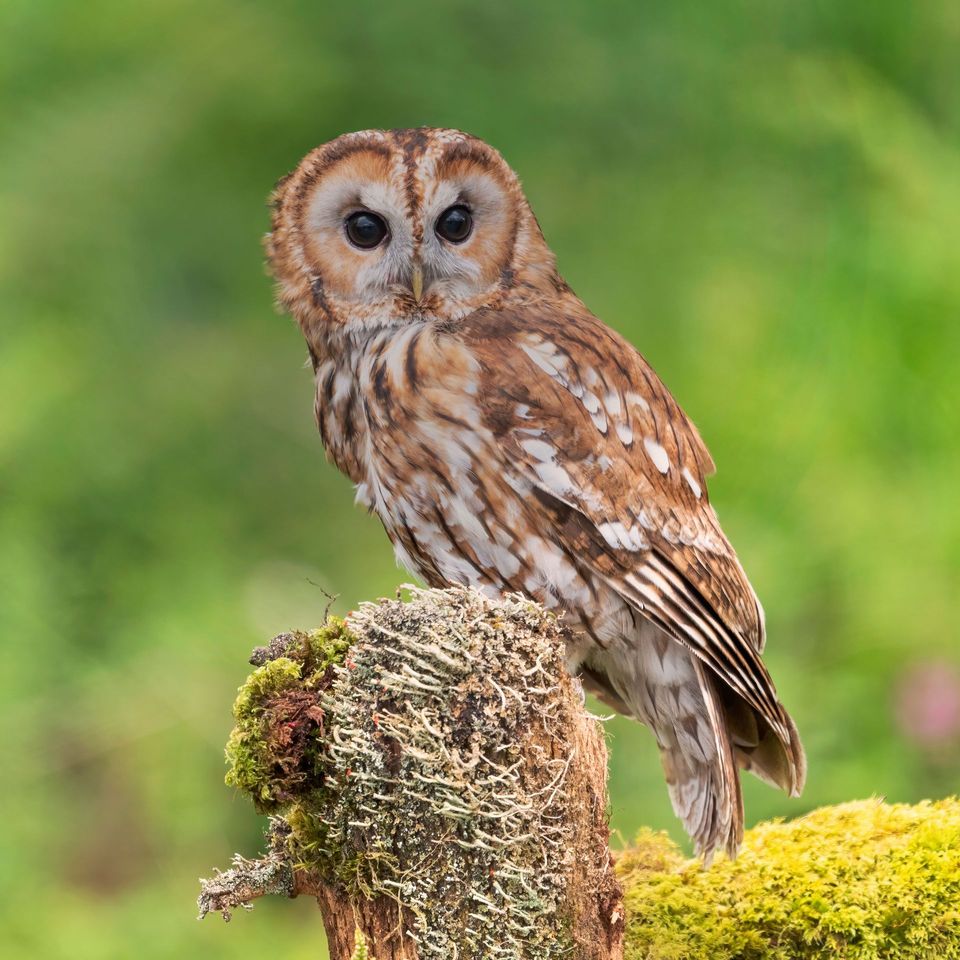
  • Wildlife heatmapsfor Grey Heron, European Badger, Tawny Owl, and 10 more
  • Works offlinemaps, 122 trails, 84 places, and audio download before you lose signal
  • CarPlay readysimple controls built for the drive
★★★★★
“Fantastic app with many points of information… It’s great to just turn on while you’re driving and it gives you an audio tour of the national Park. We love it!!!!”
JMJamesApp Store review
Download Parkwolf on the App StoreGet Parkwolf on Google Play

4.7 from 8,600+ ratings

Guide

More about Rhinog Fawr

What the walk is likeThe classic approach is from Cwm Bychan, using the historic Roman Steps before climbing into…

The classic approach is from Cwm Bychan, using the historic Roman Steps before climbing into the rough ground around Rhinog Fawr. Routes from the Graigddu-isaf side and through Bwlch Drws Ardudwy also lead into the same mountain country. There is no simple roadside stop at the summit, so choose your approach carefully and allow time for a full mountain outing.

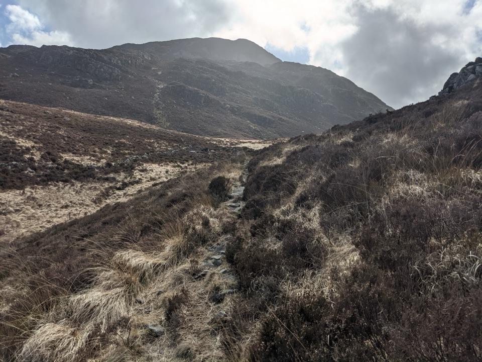
Expect a challenging walk. Steep sections, boggy ground, deep heather and loose or uneven rock make progress slower than the distance suggests. The upper mountain has intermittent or indistinct paths, and mist can make navigation difficult. Confident map-and-compass skills are useful here, especially if you leave the clearest line of ascent.

What to bringTreat Rhinog Fawr as a self-sufficient mountain walk.

Treat Rhinog Fawr as a self-sufficient mountain walk. Bring sturdy footwear, waterproof layers, a detailed map and compass, a charged phone, and enough food and water for the route you choose. Do not rely on summit facilities or on a continuous path. Keep dogs under close control around open hill ground and livestock, and follow the Countryside Code in the nature reserve.

Why goThe reward is a memorable mountain day with a strong feeling of remoteness.

The reward is a memorable mountain day with a strong feeling of remoteness. From the upper slopes and summit, the surrounding Rhinogydd and distant mountain ridges unfold when the cloud lifts. The landscape is built from hard, fractured rock and purple heather, so the walk feels noticeably wilder and rougher than a standard summit path.

Wildlife

Wildlife in Eryri

All Eryri wildlife maps

Sighting maps show where each species has been reported across Eryri. Wildlife moves, so no sighting is guaranteed.

Keep exploring

Near Rhinog Fawr

See it all on the map

Trails nearby

More stops nearby

Parkwolf’s Eryri ranking

Top sights in Eryri

All 84 places
  1. 1Yr Wyddfa (Snowdon)Sight
  2. 2Snowdon Mountain RailwaySight
  3. 3Cader IdrisSight
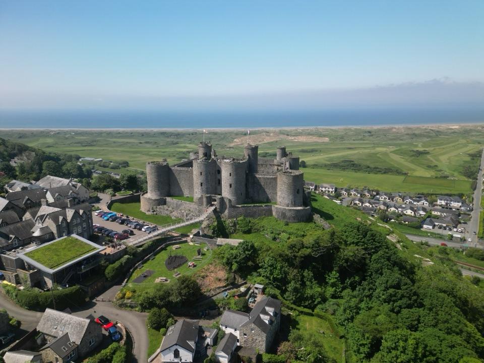
  4. 4Harlech CastleSight
  5. 5Betws-y-CoedSight
  6. 6LlanberisSight

Take Parkwolf to Eryri.

The audio tour guide for the drive, plus offline maps, trails, and wildlife heatmaps for when the signal drops.

4.7 from 8,600+ ratings

Download Parkwolf on the App StoreGet Parkwolf on Google Play