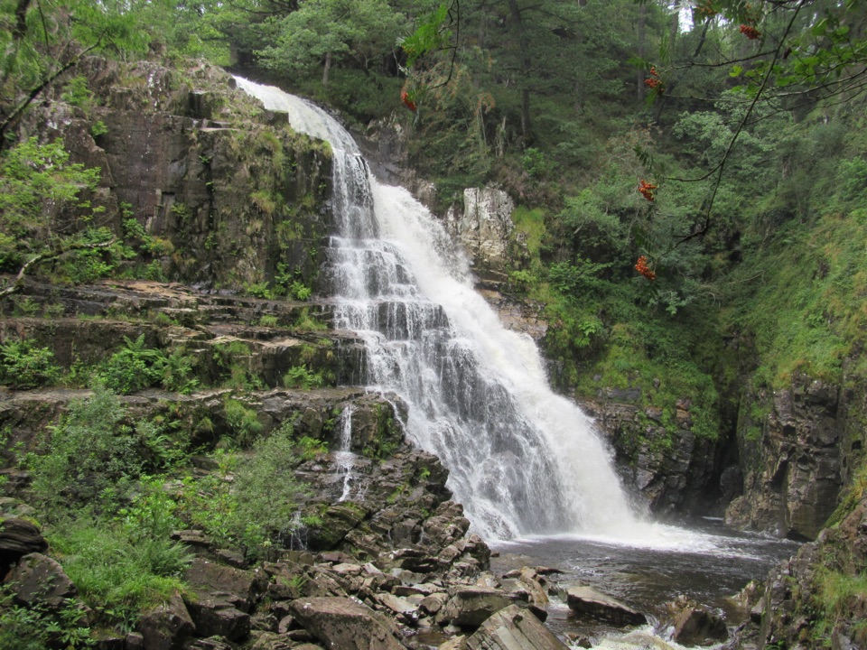
Waterfalls and Goldmines Trail in Eryri National Park

Eryri National Park, WA

Waterfalls and Goldmines Trail

Two waterfalls, gold-mine ruins and an aerial bridge on one forest loop

Photo: Wikimedia Commons
Length
3.6km
Time
1.5hr
Elev. change
74m
Difficulty
Moderate
  • Loop
  • Dogs allowed
  • High point 172 m
  • #45 of 120 in Eryri

Hear the audio tour

Coed y Brenin Forest Trails

Overview

About Waterfalls and Goldmines Trail

This is a circular loop of 3.6 km / 2.25 miles, not an out-and-back or a one-way walk. It starts and finishes at Tyddyn Gwladys Car Park, is waymarked from start to finish, and is graded Moderate with about 109 m / 359 ft of climb. Allow around 1.5 hours. Practical difficulty sits at roughly 4/10: short, mostly forest road, one rough stretch, one brief steep pull, no steps or stiles.

Why go

  • Two waterfalls and industrial heritage in one short loop
  • Pushchair and mobility-scooter friendly with no steps or stiles

Heads up

  • One genuinely rough track section
  • Short 20% climb and unprotected river-gorge drops

Map & elevation

The route

Loading the Eryri map
Full map
Elevation98–172 m
TrailheadTyddyn Gwladys Car Park52.81902, -3.87887
Keep this map with you offline in the Parkwolf app

Plan your hike

Before you go

Parking

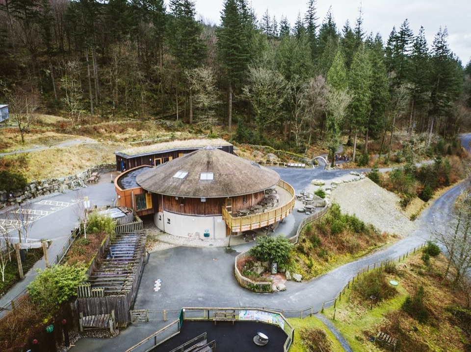
Start at Tyddyn Gwladys Car Park, about 7 miles north of Dolgellau. From the A470 towards Porthmadog, turn right just before leaving Ganllwyd, cross the stone bridge, and follow signs for 1¼ miles. Grid reference SH 734 263. Parking is free and overnight parking is not permitted.


Best time to go

The falls carry most water after wet spells, so autumn and winter give the strongest flow. The valley is narrow and heavily wooded, so light reaches the water for a limited window around midday; overcast days are kinder for photographing the falls than hard sun through the canopy. Late spring and autumn colour both suit the big-tree river corridor.

Safety

Stay on the waymarked trail: old mine workings and buildings may be unsafe, and there are unprotected drops into the river gorges. Expect one rough track section and a short climb up to 20% (1 in 5). Keep children and dogs close near water and falls.

A park ranger sits on a dash-mounted phone, talking, as Parkwolf’s Tour Guide plays “Army Cutworm Moths: A Grizzly Bear Buffet” on Grand Loop Road below Dunraven Pass in Yellowstone
Parkwolf Tour GuideThe highest, rockiest slopes around here are a summer buffet for grizzly bears.

Eryri Tour Guide

Your drive to Waterfalls and Goldmines Trail, narrated.

Parkwolf is a GPS audio tour guide for Eryri National Park. As you drive, it chimes in with what’s ahead: hidden gems, upcoming stops, history, geology, and wildlife, right through your car’s speakers.

Recorded for this area

Coed y Brenin Forest Trails
0:00 / 0:34
“You're coming up on Coed y Brenin, Britain's first purpose-built mountain biking centre, with forest trails for riders and walkers alike.”

Plays on the road 1.5 km from the trailhead in the Parkwolf Eryri Tour Guide.

More stories near here in the app

  • The Walls Made to Give Way
  • Rhaeadr Ddu at Ganllwyd
  • The King's Guards at Pont Ty'n-y-groes
  • The Tails in the Fir Cones
  • 298 audio storiesacross Eryri’s roads, triggered by GPS as you drive
  • Wildlife heatmapsfor Grey Heron, Tawny Owl, Common Raven, and 9 more
  • Works offlinemaps, 120 trails, 82 places, and audio download before you lose signal
  • CarPlay readysimple controls built for the drive
★★★★★
“Fantastic app with many points of information… It’s great to just turn on while you’re driving and it gives you an audio tour of the national Park. We love it!!!!”
JMJamesApp Store review
Download Parkwolf on the App StoreGet Parkwolf on Google Play

4.7 from 8,600+ ratings

Trail guide

Hiking Waterfalls and Goldmines Trail

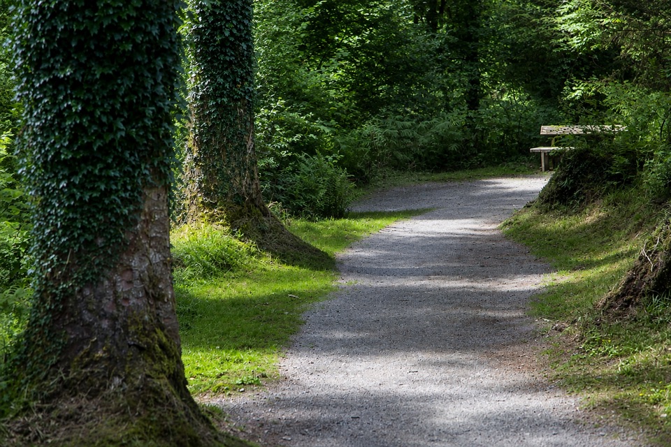
How it unfoldsThere are two benches and a picnic table along the way, so it is easy to break the walk up.

There are two benches and a picnic table along the way, so it is easy to break the walk up.

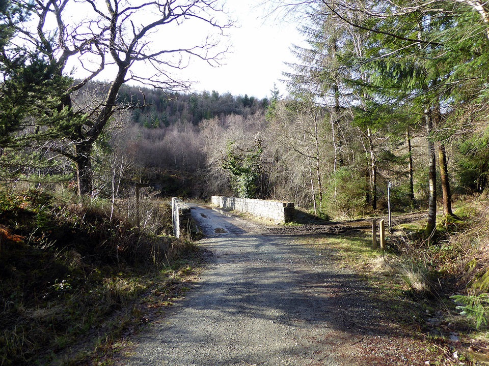
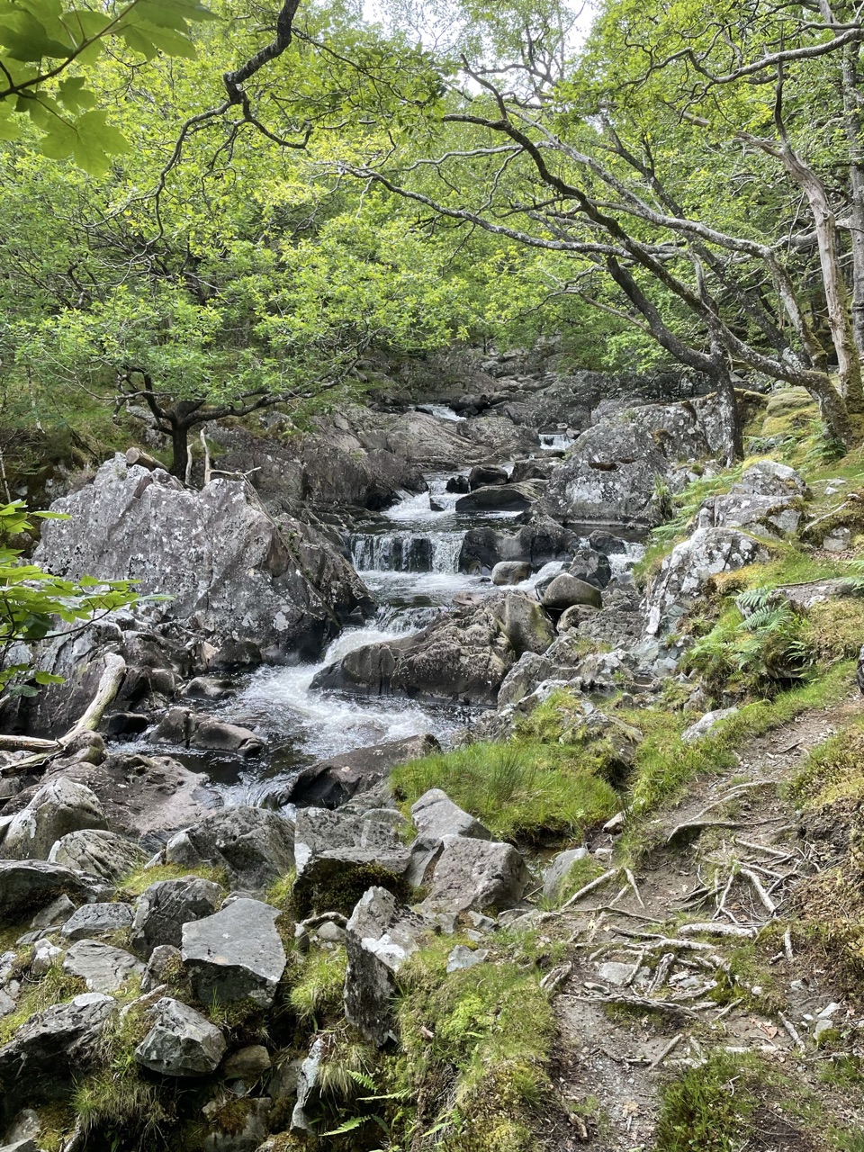
  • Head north on the forest road along the River Mawddach, through a steep-sided valley of big trees.
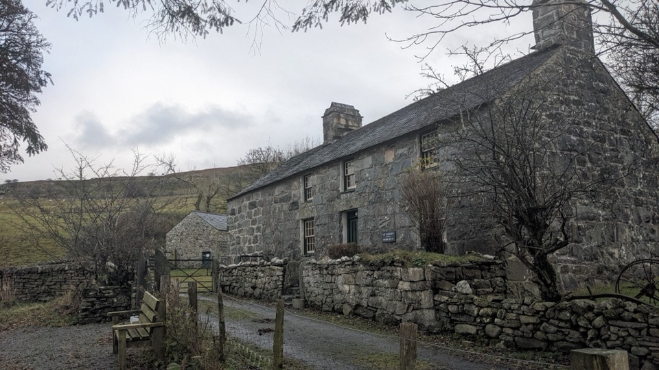
  • Pass the remains of a gunpowder factory, then old gold-mining works and the Gwynfynydd mine.
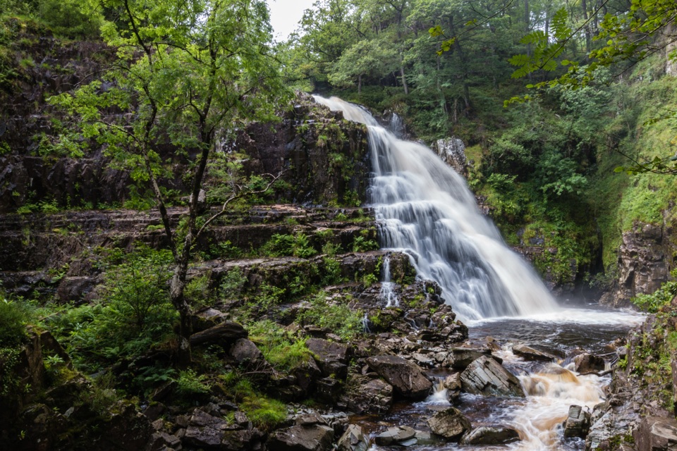
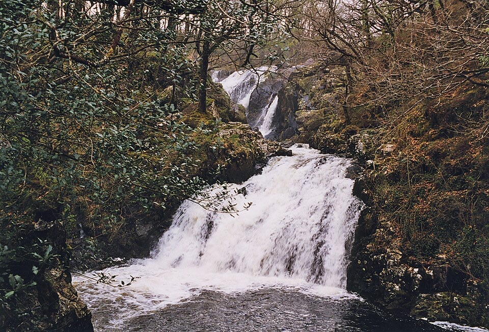
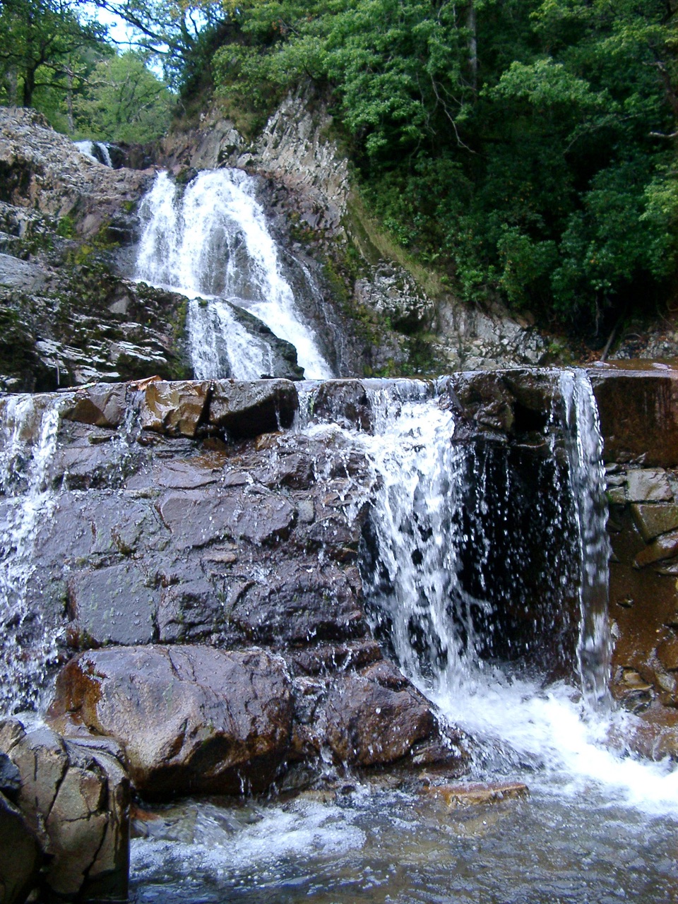
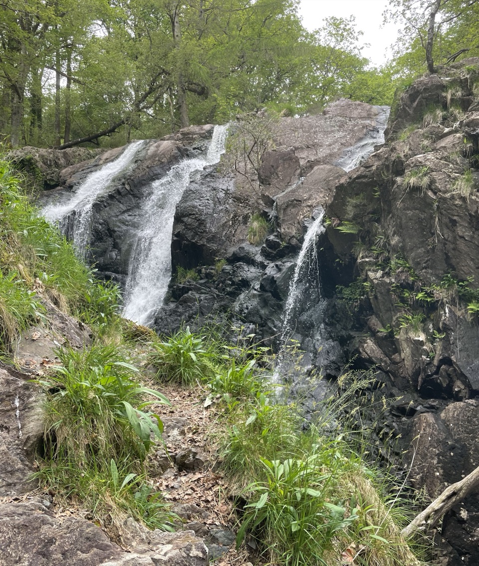
  • Reach Pistyll Gain and Rhaeadr Mawddach, the two waterfalls that are the main payoff.
  • Pick up the waymarkers on the east side, cross the timber Aerial Bridge, and return to the car park.
History you actually walk pastThe Gwynfynydd gold mine closed in 1999, and the gunpowder works and mining remains sit right…

The Gwynfynydd gold mine closed in 1999, and the gunpowder works and mining remains sit right beside the route. Treat all of it as context to look at, not to explore. Old workings and ruined structures are not safe to enter.

Surfaces, accessibility and the steep bitNearly all of the loop is forest road.

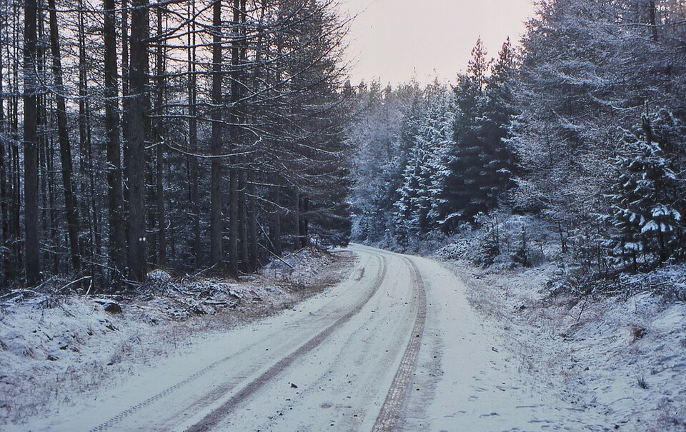
Nearly all of the loop is forest road. Two things break that up: a very rough private-track section before the waterfalls, and a short steep climb after them, up to 20% (1 in 5).

Official guidance lists the route as suitable for pushchairs and mobility scooters, and that holds with caveats worth knowing before you set off:

  • surfaces are mixed, and the rough section is genuinely rough
  • the short 20% climb needs power or an extra pair of hands
  • there are two gates with 80 cm passing places, which matters for wider mobility equipment
SafetyThe river runs through a steep-sided, wooded gorge, and there are unprotected drops near the…

The river runs through a steep-sided, wooded gorge, and there are unprotected drops near the water and the falls. Keep children and dogs close at viewpoints, stay on the waymarked line, and keep out of old mine workings and ruins. This is a low forest walk rather than a mountain route, but wet rock and slick timber underfoot deserve respect.

DogsDogs are welcome.

Dogs are welcome. Park guidance for the wider area asks for close control on public rights of way, a short lead near livestock or wildlife, and a lead no longer than 2 m on open-access land between 1 March and 31 July. Given the drops beside the river, a lead is the sensible default throughout.

Parking and getting thereTyddyn Gwladys Car Park sits about 7 miles north of Dolgellau.

Tyddyn Gwladys Car Park sits about 7 miles north of Dolgellau. From the A470 towards Porthmadog, turn right just before leaving Ganllwyd, cross the stone bridge and follow the signs for 1.25 miles; the car park is on the right. Grid reference SH 734 263. Parking is free, overnight parking is not permitted, and there are no staff on site.

If you have less timePicnic tables sit beside the Mawddach at the car park itself, which makes a decent short stop…

Picnic tables sit beside the Mawddach at the car park itself, which makes a decent short stop with river frontage if you would rather skip the loop or are waiting on someone walking it.

Wildlife

Wildlife in Eryri

All Eryri wildlife maps

Sighting maps show where each species has been reported across Eryri. Wildlife moves, so no sighting is guaranteed.

Keep exploring

Near Waterfalls and Goldmines Trail

See it all on the map

Trails that start nearby

Places near the trailhead

Parkwolf’s Eryri ranking

Top-rated trails in Eryri

All 120 trails
  1. 1Yr Wyddfa Pyg Track and Miners’ Track LoopChallenging · 12.1 km
  2. 2Llanberis PathChallenging · 14.5 km
  3. 3Pyg TrackChallenging · 11 km
  4. 4Miners’ TrackChallenging · 12.9 km
  5. 5Cwm Idwal WalkModerate · 4.8 km
  6. 6Watkin PathChallenging · 12.9 km

Take Parkwolf to Eryri.

The audio tour guide for the drive, plus offline maps, trails, and wildlife heatmaps for when the signal drops.

4.7 from 8,600+ ratings

Download Parkwolf on the App StoreGet Parkwolf on Google Play