Parking
National Trust car park in Ganllwyd village, postcode LL40 2TF, signposted from the A470. The route starts by crossing the A470.
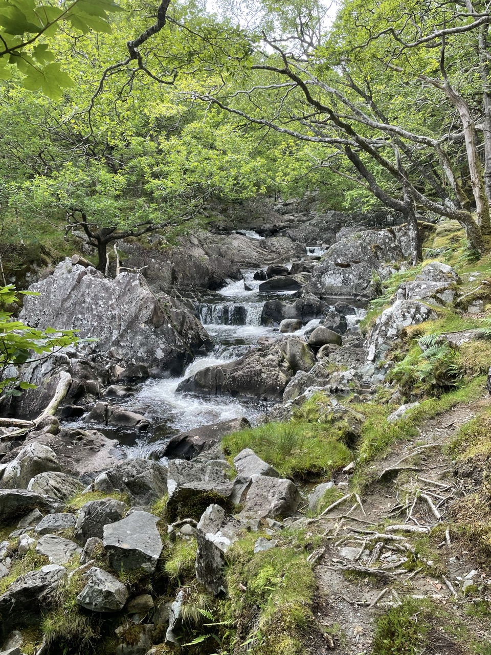
Eryri National Park, WA
Black Falls, gold-mine ruins and steep woodland on a half-day loop
Overview
This is a good moderate half-day outing for anyone who wants waterfalls plus industrial history and does not mind climbing. It is a poor fit for wheels or pushchairs because of the steep, uneven ground and the gates, stiles and ladder. If you only want the falls, the shorter Rhaeadr Ddu and Coed Ganllwyd walk from the same village is the simpler option and a different route from this one.
 Parkwolf’s verdictWho it suits
Map & elevation
Plan your hike

The highest, rockiest slopes around here are a summer buffet for grizzly bears.
Eryri Tour Guide
Parkwolf is a GPS audio tour guide for Eryri National Park. As you drive, it chimes in with what’s ahead: hidden gems, upcoming stops, history, geology, and wildlife, right through your car’s speakers.
Recorded for this trailhead
Rhaeadr Ddu at Ganllwyd“You're approaching Ganllwyd, the start of the walk to Rhaeadr Ddu's twin waterfalls. The two-mile loop takes about ninety minutes through ancient oak woods, with muddy paths and slippery rock near the falls.”
Plays as you drive up to this trailhead in the Parkwolf Eryri Tour Guide.
More stories near here in the app
“Fantastic app with many points of information… It’s great to just turn on while you’re driving and it gives you an audio tour of the national Park. We love it!!!!”


Trail guide
A circular loop of 4 miles (6.4 km) starting and finishing at the National Trust car park in Ganllwyd village, graded Moderate, with an official time of about 4 hours. That pace is not padding: the walking is slow, climbing from around 49 m at the village to roughly 227 m in the forestry above before dropping back down.
From the car park you cross the road towards the restored corrugated-iron village hall, then follow the tarmac lane beside the River Gamlan to a stoned footpath and a waymarked bridge. Cross and veer right for Rhaeadr Ddu, the Black Falls, which the official route describes as two separate waterfalls, spectacular in all seasons. Beyond a kissing gate and a wooden footbridge the path climbs on waymarkers through recently cleared forestry, passes a rustic oak footbridge, and reaches the Cefn Coch gold workings and the ruined Berthlwyd cottage. The return descends on tarmac to a stone house, back into the woods, through the Merionnydd National Trust work base, past the Tyn-y-Groes Hotel, over the main road to the River Mawddach and Tyn-y-Groes bridge, then home on road and pavement.
The upper half of the loop is a 19th-century industrial landscape rather than pure scenery. The official route picks out the Cefn Coch stamping mills, barracks and powder hut, old tramway and mining remains, and the Berthlwyd ruins. If you like reading a hillside for what people once did on it, this is the reason to choose the longer loop over a waterfall visit alone.
Expect woodland, grass paths and some tarmac. It can be muddy and is steep in places, with kissing gates, step-over stiles and a ladder to negotiate. Boots with grip are sensible, and the descent will feel harder than the map suggests after rain.
The route crosses the busy main road near the hotel and again uses road and village lane on the return. Treat both crossings with care and keep children and dogs close there.
Use the National Trust car park in Ganllwyd village, postcode LL40 2TF, signposted from the A470. The walk begins by crossing the A470, so take your time at that point. Dogs are welcome under close control in the woodland and on leads on farmland, with livestock about; the Trust asks that you keep dogs on leads and clear up after them.
Wildlife
 77 sightingsGrey HeronMost seen around 7 AMSighting map
 17 sightingsTawny OwlMost seen around 6 AMSighting map
 32 sightingsCommon RavenMost seen around 8 AMSighting map
 21 sightingsGreat Spotted WoodpeckerMost seen around 7 AMSighting map
 18 sightingsEuropean RabbitMost seen around 7 AMSighting map
 161 sightingsViviparous LizardMost seen around 10 AMSighting map
Sighting maps show where each species has been reported across Eryri. Wildlife moves, so no sighting is guaranteed.
Keep exploring
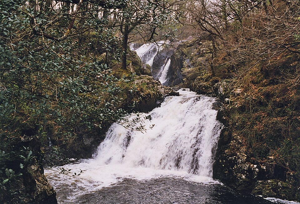 ModerateRhaeadr Ddu and Coed Ganllwyd Walk3.2 km · 1.5 hr · 0.1 km awayTwo cascades, mossy oak woodland and a Latin-inscribed rock in two miles
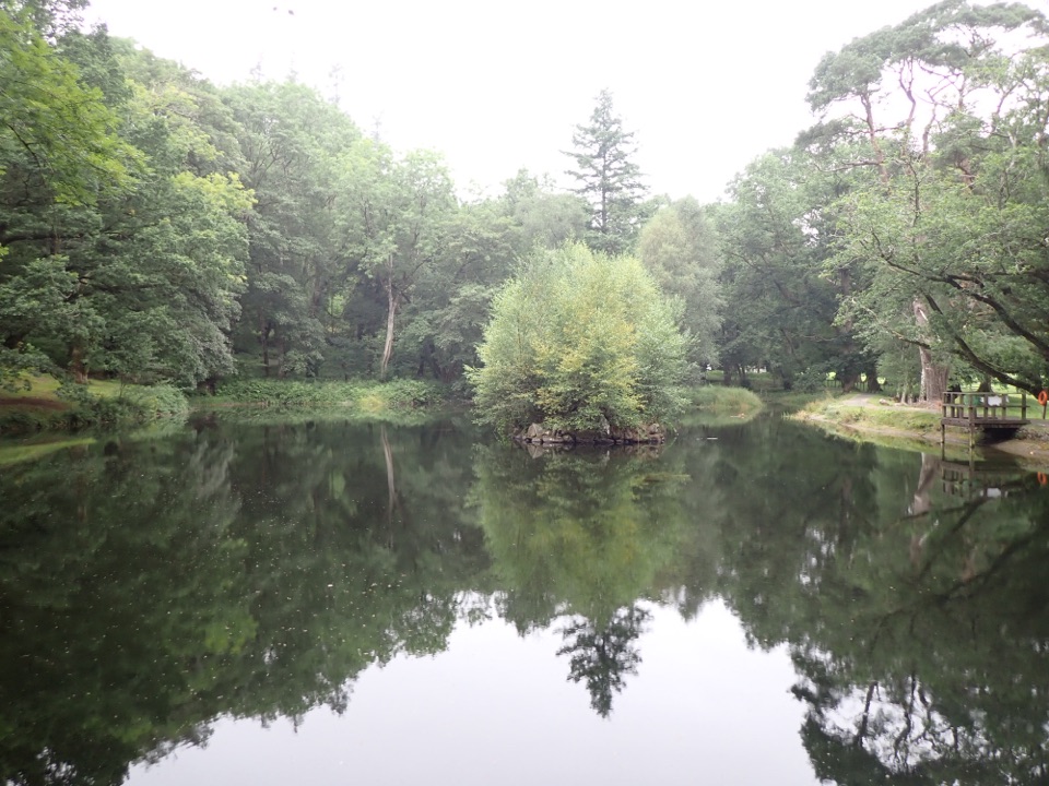 EasyOrnamental Lake Walk, Dolmelynllyn1 km · 45 min · 0.1 km awayLevel circuit to a restored ornamental lake with viewing platforms
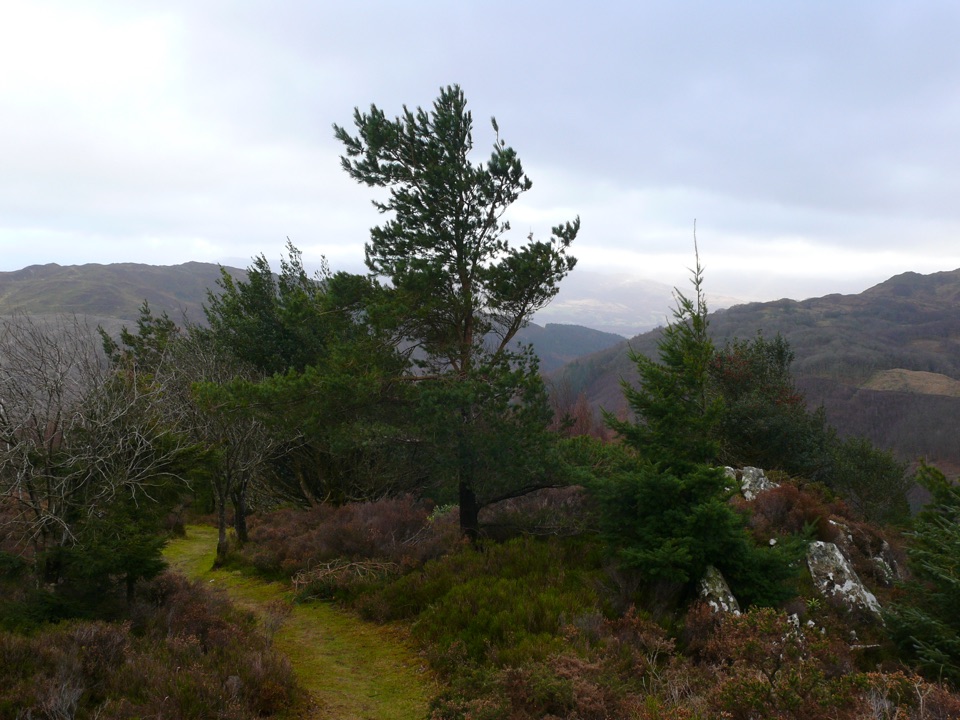 ChallengingPenrhos Mountain Trail5.1 km · 2 hr · 1 km awayRooty riverside climb to a heather summit bench and mountain views
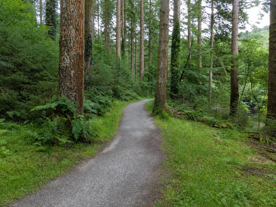 EasyThe King’s Guards Trail0.8 km · 15 min · 1 km awayFlat riverside loop through giant Douglas firs to the King
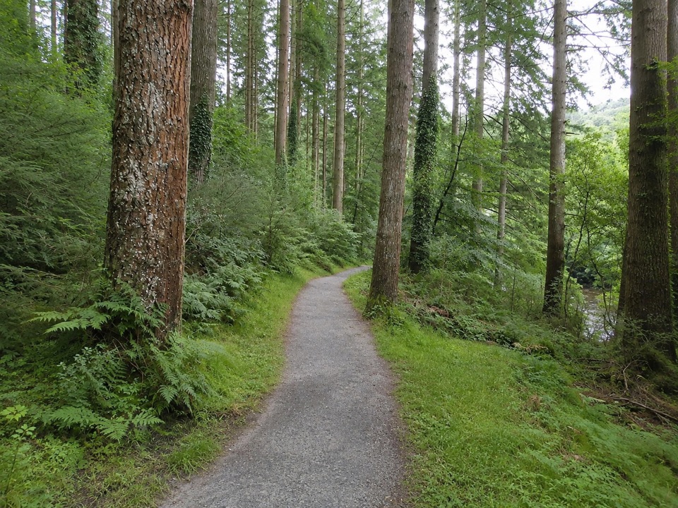 EasyThe King's Champion Trail1 km · 30 min · 1 km awayShort riverside loop to giant Douglas firs and the tallest tree
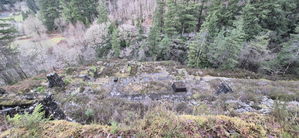 ModerateGlasdir Copper Trail2.1 km · 45 min · 1.9 km awayStepped loop through old copper workings above the Afon Babi gorge
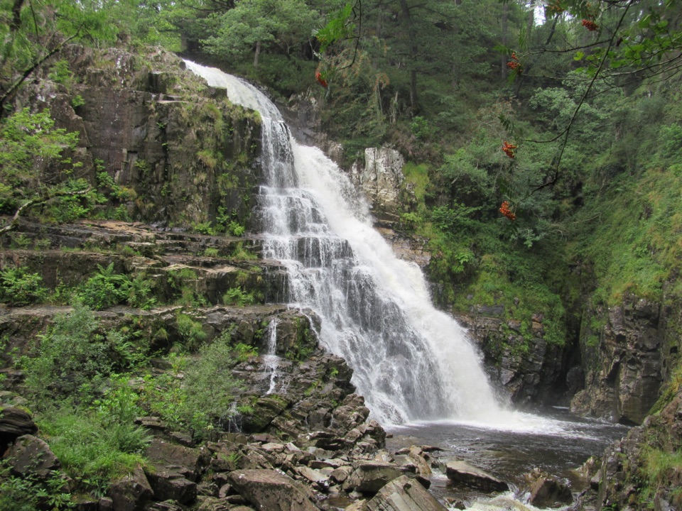 ModerateWaterfalls and Goldmines Trail3.6 km · 1.5 hr · 2 km awayTwo waterfalls, gold-mine ruins and an aerial bridge on one forest loop
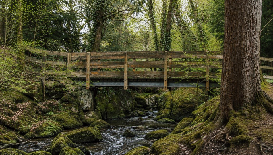 EasyForest Garden Discovery Trail0.6 km · 45 min · 2.5 km awaySteep little loop past world trees, a waterfall bridge and folklore posts
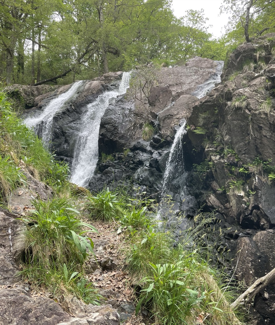 Sight · 0.5 km awayRhaeadr Ddu (Black Falls)Two mossy cascades drop about 60 feet through ancient oak woodland
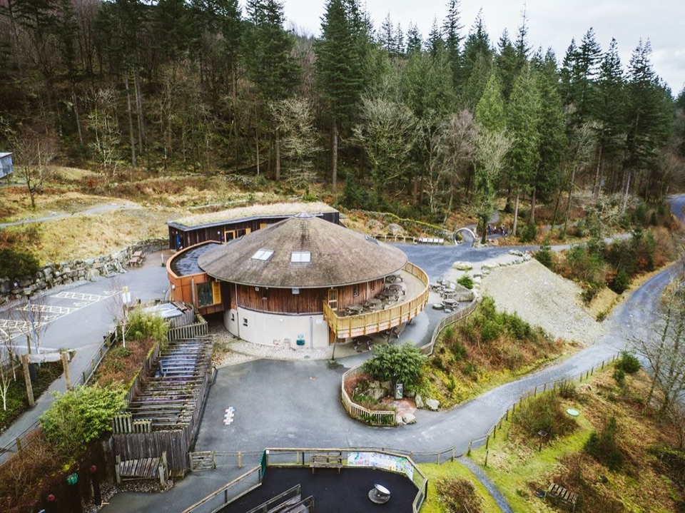 Visitor center · 2.6 km awayCoed y Brenin Visitor CentreBritain’s first purpose-built mountain-bike centre, now a quiet trailhead
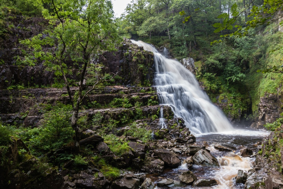 Sight · 3.3 km awayPistyll CainA thunderous forest waterfall reached by an easy-moderate river walk
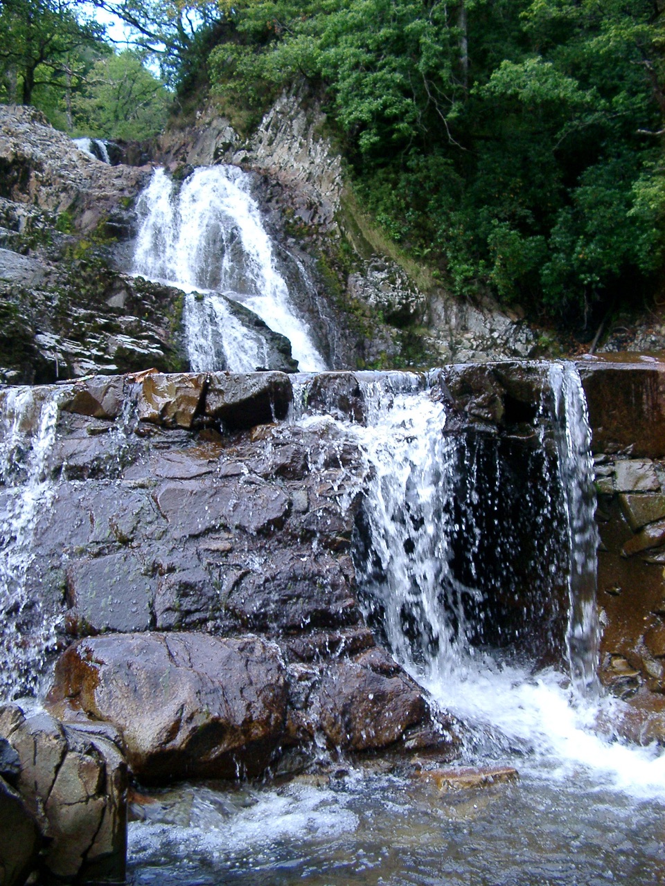 Sight · 3.3 km awayRhaeadr MawddachA rain-fed cascade beside old gold workings in deep woodland
 Sight · 4.9 km awayCymer AbbeyThree medieval arches frame the Mawddach valley
 Sight · 6.6 km awayDolgellauGrey dolerite townscape and tangled lanes beneath Cader Idris
 Sight · 6.6 km awayTŷ SiamasA Welsh folk-music centre in a handsome former market hall
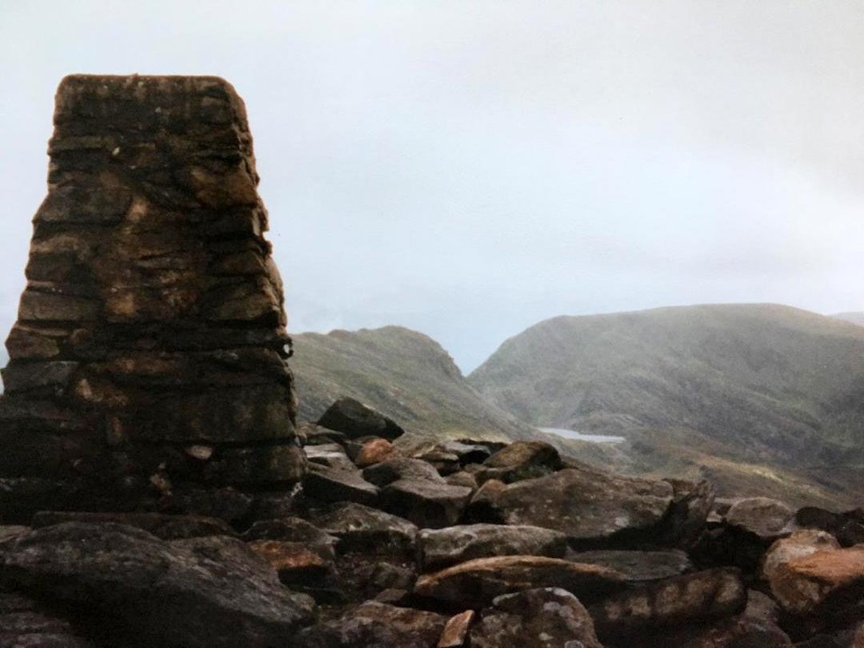 Sight · 8.4 km awayRhinog FawrA rough-edged summit with big views and a wilder feel.
Parkwolf’s Eryri ranking
The audio tour guide for the drive, plus offline maps, trails, and wildlife heatmaps for when the signal drops.




