Pros & cons
PROS
- Iconic source of Sutherland Falls with a dramatic cliff-edge outlet
- Striking turquoise, glacial-fed water in a pristine alpine cirque
- Scenic flights often land near the lake for unforgettable photos
CONS
- No road or standard hiking access; typically only reachable by helicopter
- Highly changeable alpine weather can cancel flights or obscure views
- No facilities of any kind on site
Overview
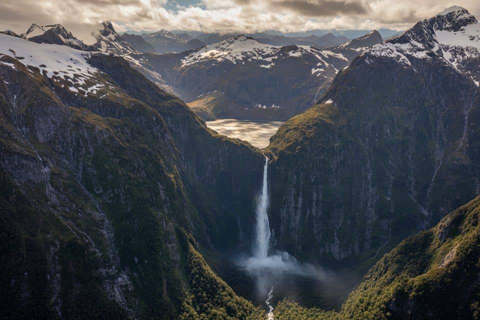
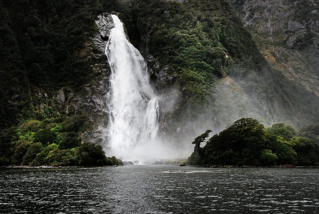
Lake Quill is a high, glacier-carved cirque lake tucked into a hanging basin about 979 m above sea level. Its single outlet spills straight over the rim to form Sutherland Falls, dropping roughly 580 m in three towering tiers. It’s remote, raw, and jaw-droppingly beautiful.
What You'll See
Expect a vivid turquoise tarn ringed by sheer rock walls, alpine tussock, and frequent patches of lingering snow. From the air—and on rare alpine landings—you can gaze across Fiordland’s peaks and down toward the Arthur Valley. The lake’s outflow immediately becomes Sutherland Falls, one of the country’s most dramatic waterfalls.
Access and Experience
There’s no road and no standard trail to the lake. Most visitors experience it on a scenic helicopter flight, sometimes with short landings for photos. Hikers on the Milford Track can take a side trip to the base of Sutherland Falls in the valley, but reaching Lake Quill itself on foot is an expert-level undertaking and not part of the track.
History & Geology
This is a classic glacial cirque—ice carved the bowl, and the lake now perches on the edge of a cliff. The fine glacial sediments give the water its striking turquoise color. It’s named after William Quill, the first European known to reach the lake in 1890 by climbing Sutherland Falls.
Nature Notes
This is true alpine country: expect hardy tussock and mountain flora. Wildlife isn’t the headline here; the star is the dramatic geology and the lake-to-falls spectacle.
Best Time to Visit
- Scenic flights are weather-dependent year-round; summer generally offers longer, more stable windows.
- For photography, early morning and late afternoon light are best, but cloud is common and can roll in fast.
- Build buffer time into your plans in case conditions force delays or cancellations.

Good to Know
There are no amenities at Lake Quill—no toilets, shelters, or marked trails. Facilities exist down in the Milford Track corridor at huts and shelters, not at the lake itself.
Where it is
-44.8085, 167.7254Tips for Lake Quill
- 01Book a scenic flight with an alpine landing to fully appreciate the lake.
- 02Dress for alpine conditions year-round—layers, rain shell, and sturdy shoes.
- 03Build flexibility into your schedule; weather often grounds flights.
- 04If hiking the Milford Track, plan the popular side trip to the base of Sutherland Falls.
- 05Bring a wide-angle and a polarizing filter to tame glare on the turquoise water.
Near Lake Quill
All places →All trails →
0.6 mi awaySutherland FallsA 580 m cascade pouring straight from Lake QuillScenic Viewpoint
2 mi awayOmanui / McKinnon PassThe Milford Track’s high point with vast views and a cairnScenic Viewpoint
2 mi awayMackinnon MemorialHistoric cairn atop the Milford Track’s high point with sweeping viewsScenic Viewpoint
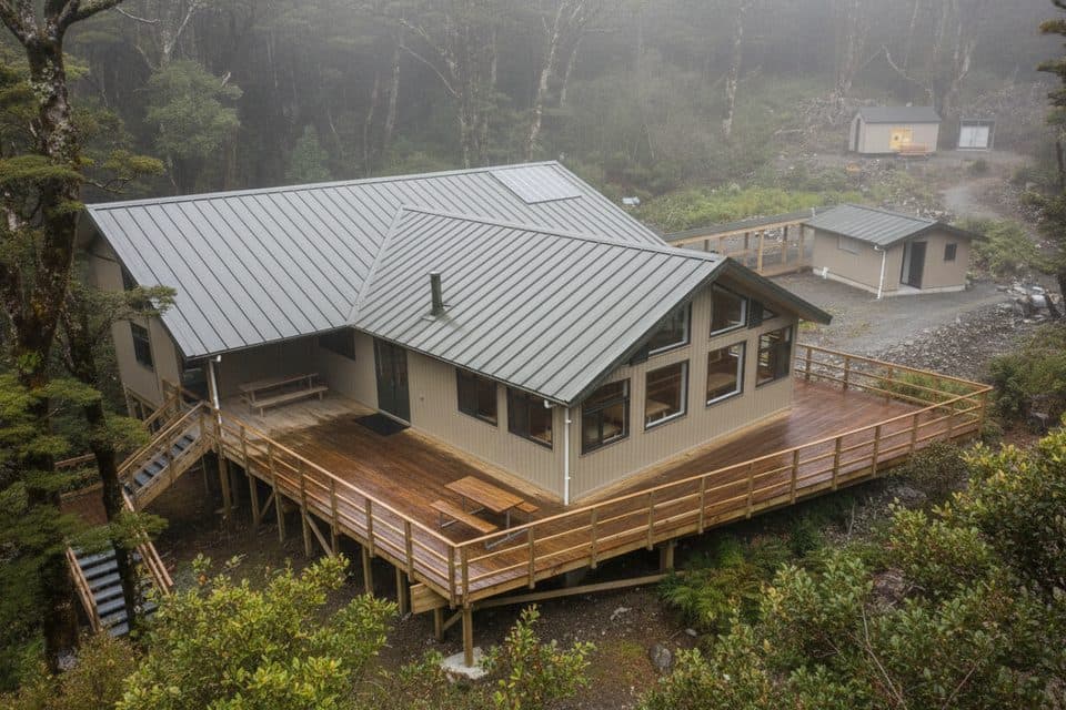
2.2 mi awayMintaro HutNew Milford Track hut poised below Mackinnon Pass with mountain viewsLodging · Restroom
12.2 mi awayMilford Track: Sandfly Point to Giant Gate FallsClassic Milford rainforest stroll to a thundering 30 m waterfallEasy · 3.4 mi · 3 hr
12.2 mi awayGiant Gate Falls TrackEasy Milford Track walk to the swing-bridge view of Giant Gate FallsEasy · 6.8 mi · 3.5 hr
12.6 mi awayGrave–Talbot TrackHistoric, serious alpine crossing linking Milford Road and Hollyford.Challenging · 12 mi · 13.5 hr
12.9 mi awayHomer Tunnel Nature WalkQuick alpine stroll beside Milford Road’s dramatic granite wallsEasy · 0.6 mi · 30 min