Gertrude Saddle

Alpine saddle with Milford Sound views via steep slabs and Black Lake
Gertrude Saddle, Fiordland National Park
InsideFiordland National Park

Overview

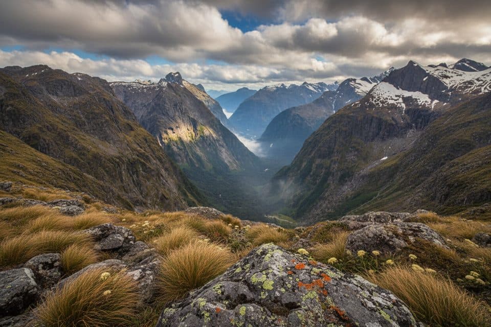
Gertrude Saddle is Fiordland’s big‑league day mission: an expert alpine route that climbs from Gertrude Valley to a high saddle beneath Barrier Knob and Mount Talbot. It’s short on infrastructure and long on drama—glaciated slabs, fixed chains, and a dizzying view toward Milford Sound if the weather plays ball. If you have the skills and a bluebird forecast, it’s a standout; if not, skip it.

Route at a glance

  • Distance/time: roughly 7–8.2 km return, 4–6 hours for most
  • Elevation gain: about 600–800 m
  • Character: steep scree, smooth granite slabs, short chain‑assisted sections, stream crossings, and exposed terrain
  • Classification: Department of Conservation “expert” route

What you’ll see

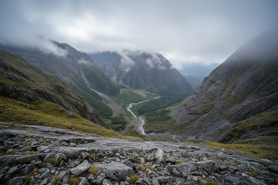
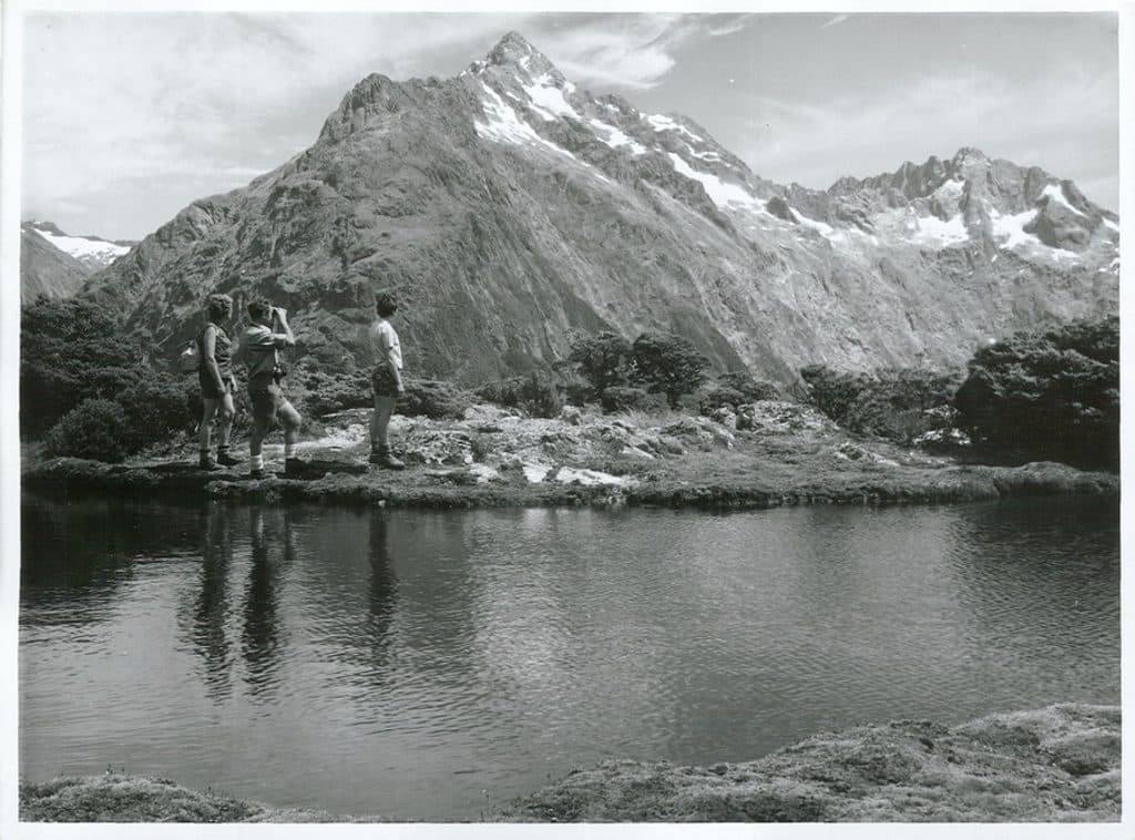
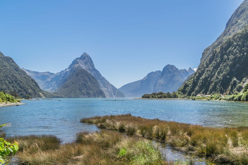
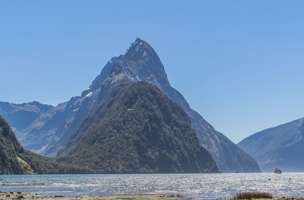
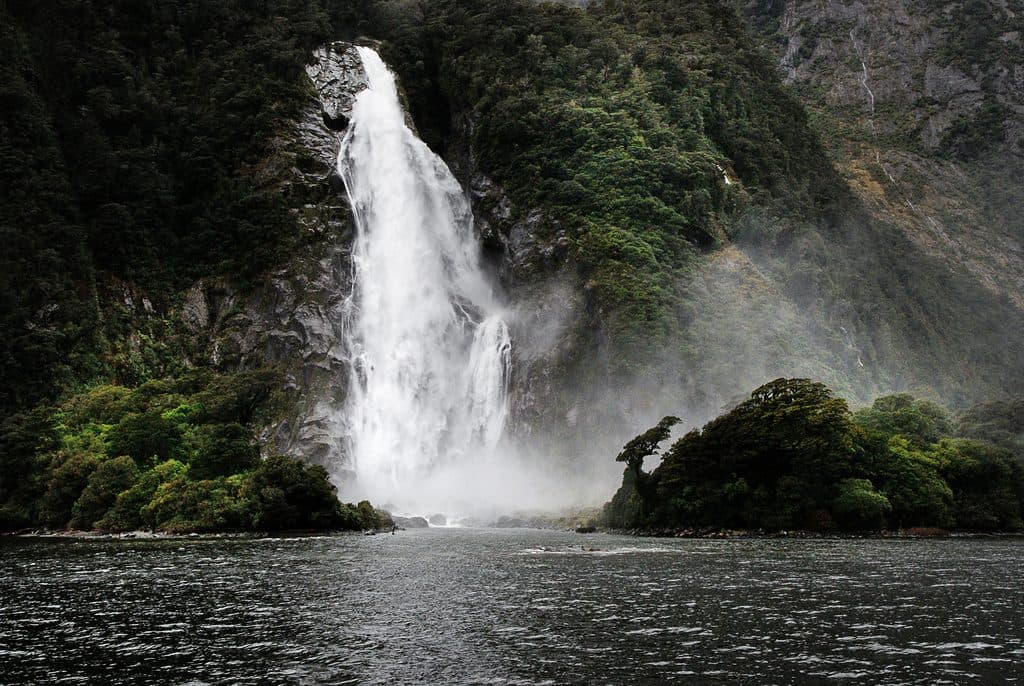
The approach crosses the broad Gertrude Valley before tilting sharply up slabs and boulderfields, with waterfalls for company. Black Lake—a moody alpine tarn—sits tucked beneath the final rise. From the saddle the payoff is immense: sweeping views across carved valleys toward Milford Sound and, on a clear day, out to the Tasman Sea. The far side drops away for hundreds of meters—treat the edge with absolute respect.

Safety essentials

This route is unforgiving in poor conditions. Rain, snow, or even damp rock turns the polished slabs into a slip‑n‑slide, and there have been fatalities here. Avalanches are a risk in winter and spring. Go only in stable, dry weather, start early, and be prepared to turn back. Expect route‑finding (markers help but don’t eliminate decisions), exposed moves, and cold stream crossings. Strong boots, warm waterproof layers, navigation tools, ample food/water, and a PLB are smart choices.

Logistics

Access is from the Gertrude Valley car park off the Milford Road, near Homer Hut. There are no toilets, shelters, food, or water on the route. Hikers commonly use public toilets at The Divide (another trailhead) before heading here. Treat this as true wilderness—come self‑contained and leave no trace.

Wildlife

Wildlife isn’t the headline, but alpine birds are around; keep an eye out for curious kea and diminutive rock wren in boulderfields and tussock zones.

Best time to visit

Aim for summer in a settled high‑pressure window. Dry rock is non‑negotiable here. Mornings offer steadier weather and plenty of daylight for cautious descents. Despite growing popularity, it’s still quieter than Fiordland’s marquee tracks—another reason to time it for a crisp, clear weekday if you can.


Pros

  • Huge Milford Sound panoramas from a dramatic alpine saddle
  • Thrilling granite slabs, chains, waterfalls and Black Lake en route

Cons

  • Extremely hazardous when wet or icy; avalanche risk in season
  • No facilities on route; fully self‑sufficient required
  • Expert, technical route with exposure and route‑finding

Tips

  • Go only in dry, stable weather and turn back if conditions worsen.
  • Start early to maximize daylight for the steep slab descent.
  • Bring a topo map/GPX and know how to navigate between markers.
  • Gloves help on the chain sections; poles help in scree and stream crossings.
  • Carry all your water or a filter—there are no services on the route.
The Parkwolf tour guide sitting on a phone mounted in a car

Parkwolf Tour Guide

Like a tour guide in your car.

Save the places you found around Fiordland, then let Parkwolf guide the drive between them.Download Parkwolf on the App Store