1 active Glacier alert
- ClosureTwo Medicine Campground closed for 2026 constructionTwo Medicine Campground is closed throughout 2026 because of construction in the Two Medicine developed area.Official details
Sight · Glacier National Park
A remote boat landing where two parks share one glacial valley.
Overview
Map
Plan your stop

The highest, rockiest slopes around here are a summer buffet for grizzly bears.
Glacier Tour Guide
Parkwolf is a GPS audio tour guide for Glacier National Park. As you drive, it chimes in with what’s ahead: hidden gems, upcoming stops, history, geology, and wildlife, right through your car’s speakers.
See the Glacier audio tour“Our first time to glacier and we used the audio portion for Going to the Sun Road. Wonderful information with perfect advice of what to see and do along the road.”


Guide
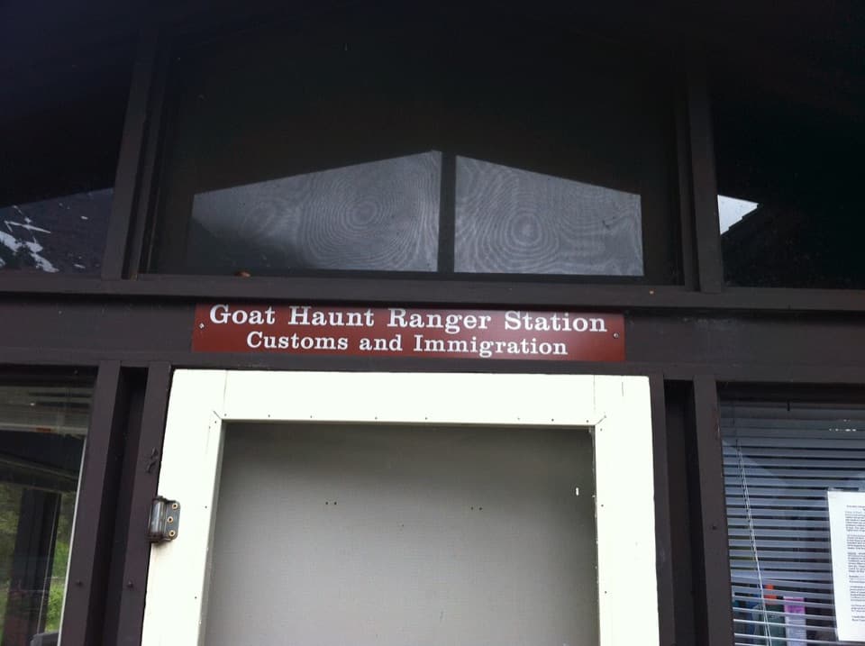
Goat Haunt is a small visitor campus at the south end of Upper Waterton Lake, in Glacier National Park’s north country. The dock, an exhibit shelter and the ranger station sit together on the water. It’s worth a stop if your boat trip gives you time ashore, and a starting point if you’re heading into the northwestern backcountry. There’s no road access: come by boat or hiking trail.
Most visitors arrive from Waterton, Alberta, by boat. On foot, the Lakeshore Trail from Bertha trailhead is 13.5 km (nearly 8.5 mi) one way; hiking out and back is 27 km (nearly 17 mi). This is an international crossing. Under the currently posted rule, passengers on a round-trip Shoreline cruise who stay no more than 30 minutes and don’t hike beyond the ranger station have a narrow exception from the usual border procedures. Hikers and personal-watercraft users have reporting requirements. Check current U.S. and Canadian entry rules before you leave.
A paved path links the dock to the shelter exhibits and ranger station. The National Park Service lists drinking water and restrooms here. Visitors also mention ranger talks and a national-park passport stamp; treat those as a bonus, since station service isn’t confirmed for every arrival. Food service wasn’t established at the landing, so don’t count on buying a meal there.
Waterton-Glacier International Peace Park was established in 1932, after Rotary clubs in Montana and Alberta promoted the idea and both governments adopted it. The Goat Haunt shelter and ranger-station project was built in 1965 and dedicated July 30, 1967. Its exhibits connected the shared valley to the glaciers that carved it and the Rocky Mountains that continue across the border.
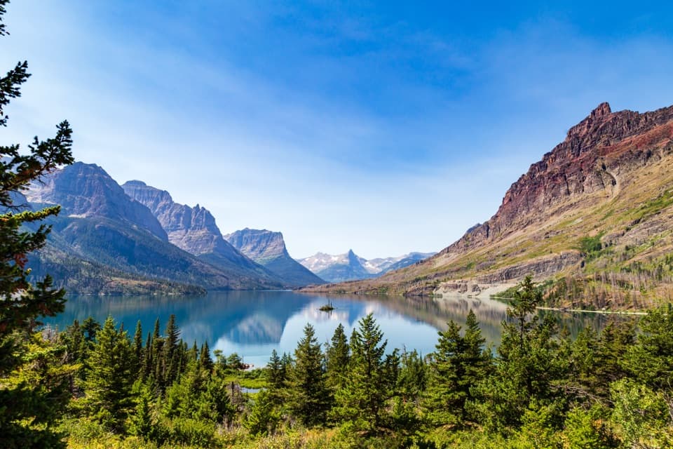
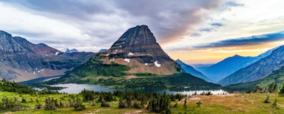
From the stone beach, look over Upper Waterton Lake toward the surrounding peaks. Include some shoreline stones and water beneath the ridges; that gives the view a sense of scale and shows why arriving at the lake’s far end feels different from a roadside overlook.
Wildlife
 404 sightingsGrizzly BearMost seen around 6 AMSighting map
 11 sightingsWolverineMost seen around 8 PMSighting map
 1,173 sightingsMountain GoatMost seen around 6 AMSighting map
 1,000 sightingsBighorn SheepMost seen around 6 AMSighting map
 395 sightingsMooseMost seen around 6 AMSighting map
 506 sightingsBlack BearMost seen around 8 PMSighting map
Sighting maps show where each species has been reported across Glacier. Wildlife moves, so no sighting is guaranteed.
Keep exploring
 ModerateKootenai Lakes Trail5.6 mi · 3 hr · At the trailheadA remote forest walk opens onto Kootenai Lakes beneath the Citadel Peaks.
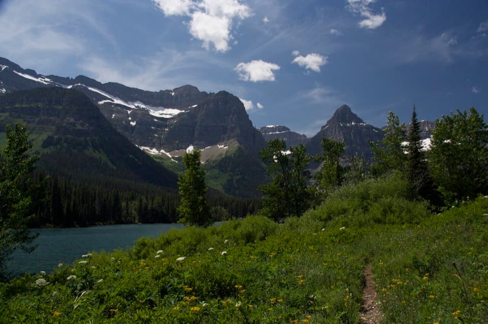 ModerateLake Janet Trail6.6 mi · 3.8 hr · At the trailheadA suspension bridge and a long climb lead to Lake Janet.
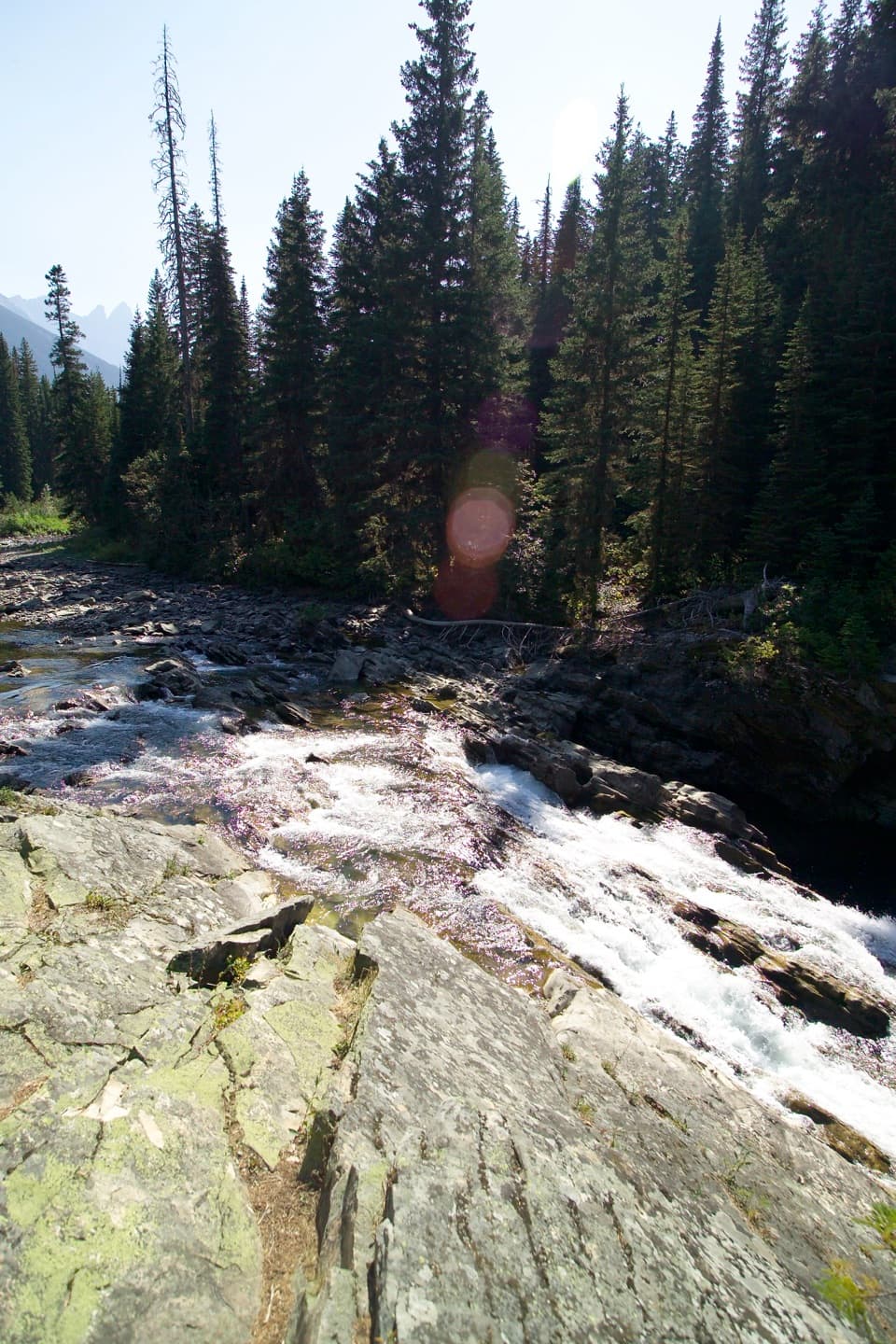 EasyRainbow Falls Trail2 mi · 1 hr · At the trailheadA short forest walk ends at a waterfall beneath high peaks.
 ChallengingLake Francis Trail12.6 mi · 8 hr · At the trailheadA long backcountry walk ends at a lake below The Sentinel.
 ModerateGoat Haunt Overlook Trail2 mi · 1.8 hr · 0.1 mi awayA short, steep climb to a former lookout above Waterton Valley
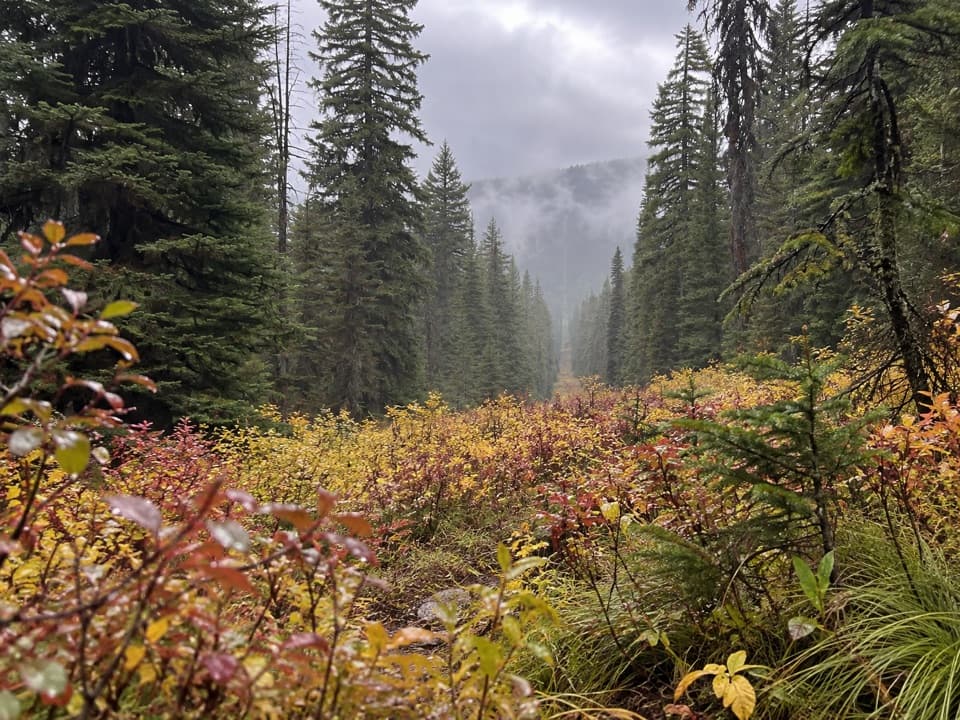 ModerateNorth Boundary Trail5.3 mi · 4 hr · 2.7 mi awayA remote creek corridor ends at the international boundary.
 ChallengingPorcupine Lookout Trail10 mi · 8 hr · 3.4 mi awayA remote ridge climb to Glacier's old fire lookout.
Parkwolf’s Glacier ranking

The audio tour guide for the drive, plus offline maps, trails, and wildlife heatmaps for when the signal drops.