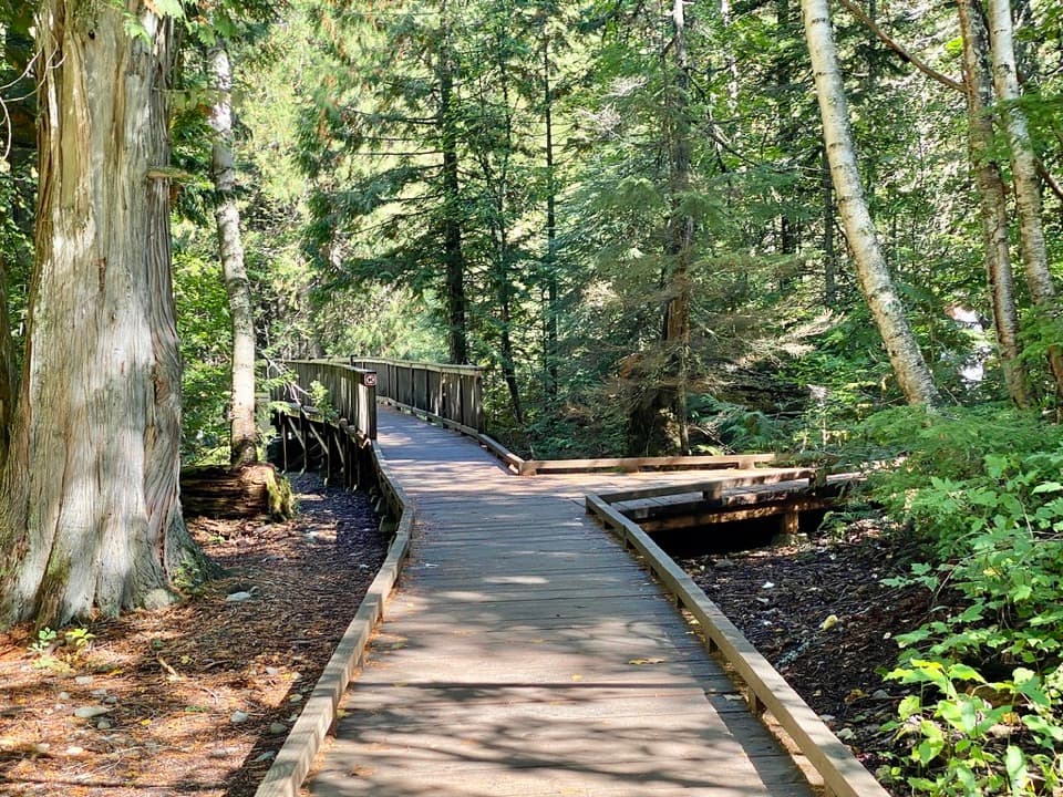
Parking
There is no road access or parking at the junction. Reach the spur from Kootenai Lakes or Goat Haunt via Waterton Valley backcountry trails.

Glacier National Park, MT
A remote ridge climb to Glacier's old fire lookout.
Overview
Map & elevation
Plan your hike

The highest, rockiest slopes around here are a summer buffet for grizzly bears.
Glacier Tour Guide
Parkwolf is a GPS audio tour guide for Glacier National Park. As you drive, it chimes in with what’s ahead: hidden gems, upcoming stops, history, geology, and wildlife, right through your car’s speakers.
See the Glacier audio tour“Our first time to glacier and we used the audio portion for Going to the Sun Road. Wonderful information with perfect advice of what to see and do along the road.”


Trail guide
From the Waterton Valley Trail junction, Porcupine Lookout is a 5.0-mile climb to a historic fire lookout on Porcupine Ridge, then back the same way: 10.0 miles round trip, with roughly 2,600 feet of gain. Plan most of a day; around eight hours from the junction is a reasonable estimate. The trail is a good fit if you want a remote ridge hike and are comfortable with a long climb.
The 10.0-mile figure covers the named spur only. From Kootenai Lakes Campground, the documented approach adds a 0.3-mile link and 1.5 miles along Waterton Valley Trail before the spur, for about 6.7 miles one way and 13.4 miles round trip from camp.
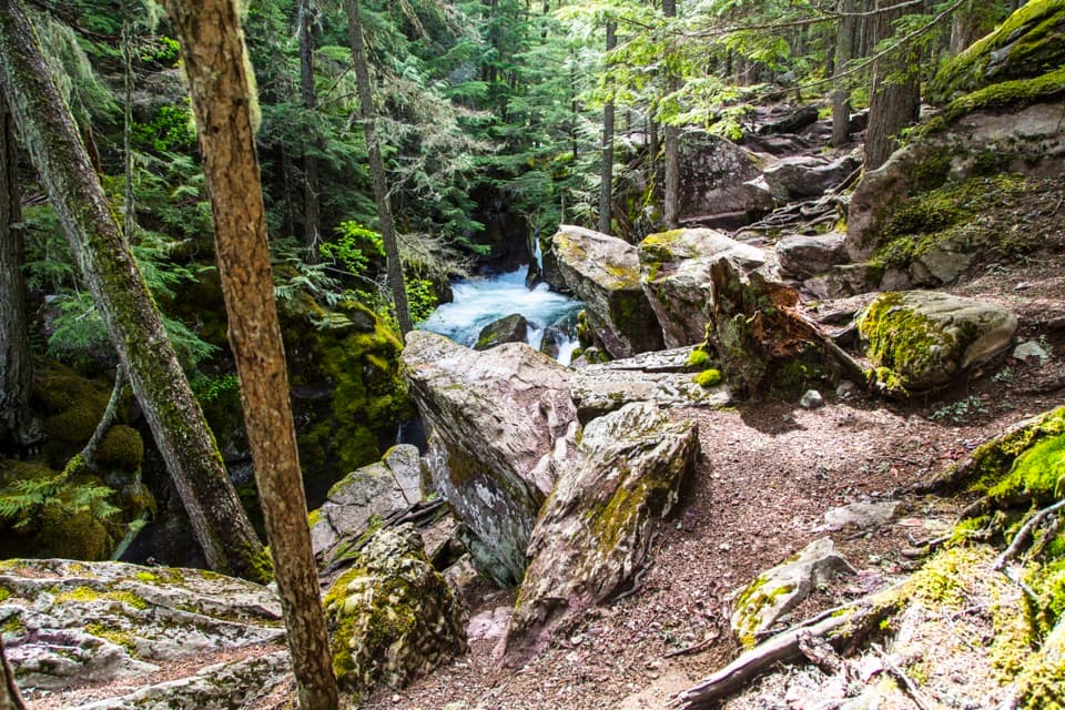
The Kootenai approach includes a ford of the Waterton River, followed by a wade through Valentine Creek. The river is slow-moving but can be deceptively deep and cold; reports describe it nearly waist-deep even late in the season. Check current water conditions before committing, and don't assume the crossing will be shallow just because summer is ending. Water shoes are useful for both crossings.
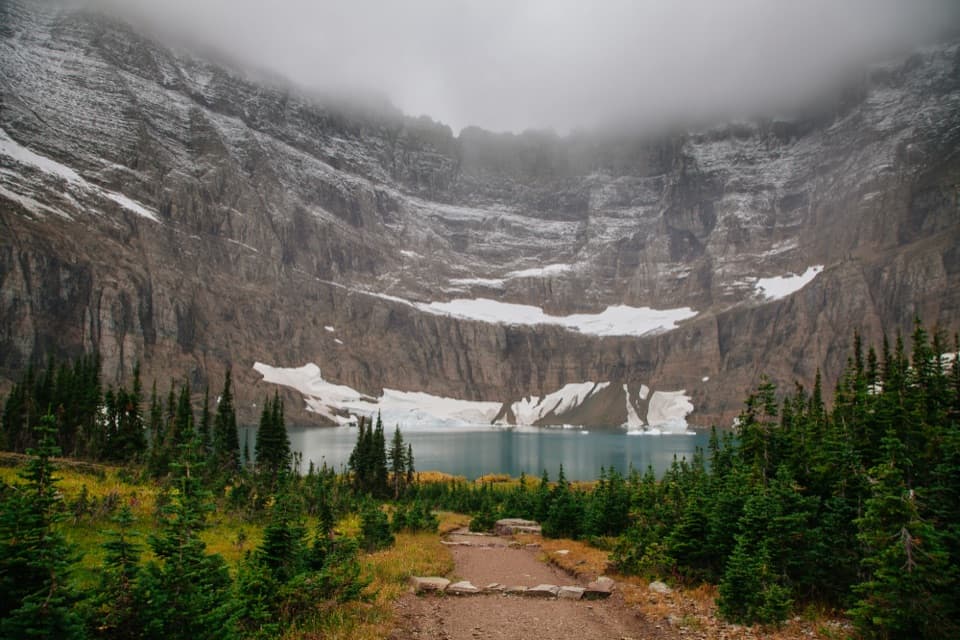
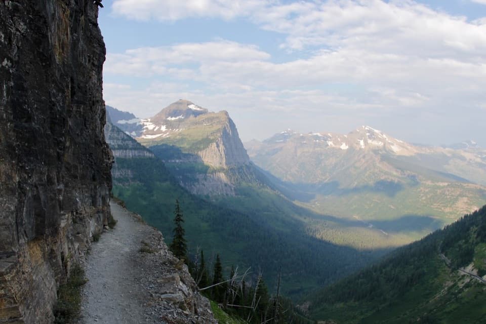
After the lower brush and creek crossing, the route climbs at a fairly even grade. Early openings look toward Kootenai Peak and up the Valentine Creek drainage. As the vegetation thins, the view broadens to Carter Glaciers, Vulture Peak and Two Ocean Glacier. It is a long climb rather than a technical one, but the mileage, elevation gain and remote access make this a hard day.
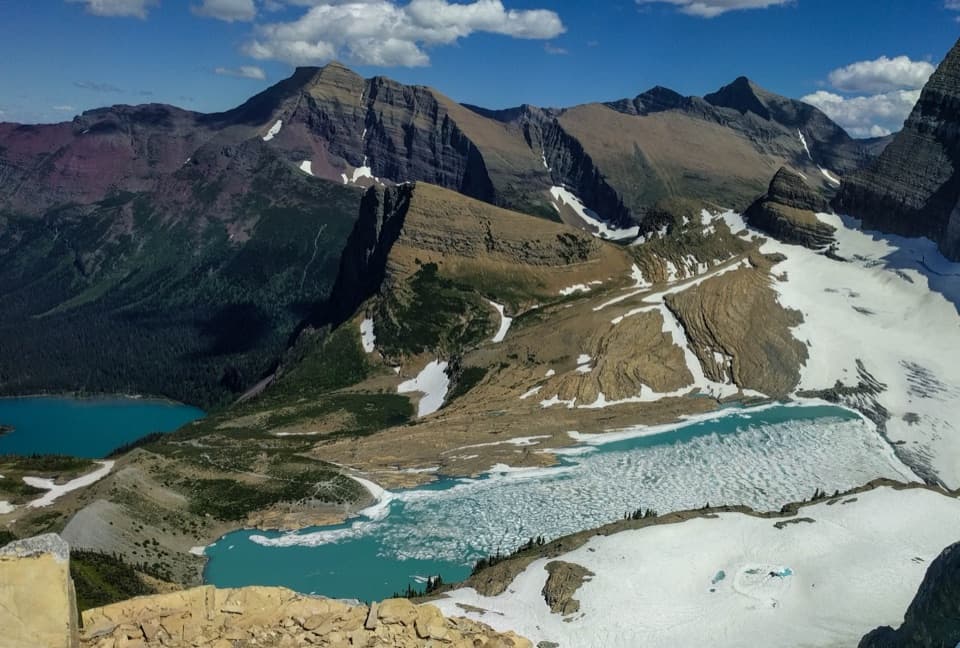
From Porcupine Ridge, look east over Kootenai Lakes and the winding Waterton River. Turn north for Waterton Lake, Mount Cleveland and the Stoney Indian Peaks; the Valentine Creek drainage frames Rainbow and Carter Peaks. Moose feed around the lakes and can look like small figures from above. Bring binoculars if you want to spot them. For a photo, keep some of the lakes and river below the ridge in the frame so the scale of the valley comes through.
Porcupine Ridge Lookout was the last of eleven Glacier fire lookouts built between 1929 and 1939. It served the Waterton Valley for about thirty seasons and was no longer manned after 1970. This remote post is the point of the climb, along with the long view over the lakes and valley.
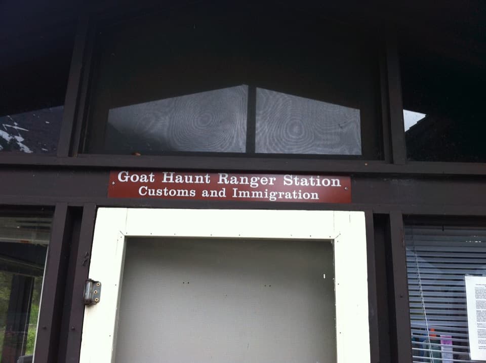
There is no road access or parking at the junction; reach the spur on Waterton Valley Trail from the backcountry. Kootenai Lakes and Goat Haunt are both documented approaches. Overnight backcountry camping requires a permit. If you arrive at Goat Haunt from Canada and hike beyond the Ranger Station, report your U.S. entry through CBP ROAM. Pets are not allowed on Glacier trails or in the backcountry.
Wildlife
 404 sightingsGrizzly BearMost seen around 6 AMSighting map
 11 sightingsWolverineMost seen around 8 PMSighting map
 1,173 sightingsMountain GoatMost seen around 6 AMSighting map
 1,000 sightingsBighorn SheepMost seen around 6 AMSighting map
 395 sightingsMooseMost seen around 6 AMSighting map
 506 sightingsBlack BearMost seen around 8 PMSighting map
Sighting maps show where each species has been reported across Glacier. Wildlife moves, so no sighting is guaranteed.
Keep exploring
 ModerateGoat Haunt Overlook Trail2 mi · 1.8 hr · 3.4 mi awayA short, steep climb to a former lookout above Waterton Valley
 ChallengingLake Francis Trail12.6 mi · 8 hr · 3.4 mi awayA long backcountry walk ends at a lake below The Sentinel.
 ModerateKootenai Lakes Trail5.6 mi · 3 hr · 3.4 mi awayA remote forest walk opens onto Kootenai Lakes beneath the Citadel Peaks.
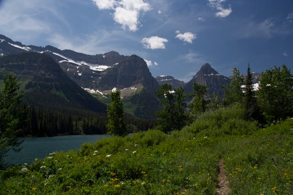 ModerateLake Janet Trail6.6 mi · 3.8 hr · 3.4 mi awayA suspension bridge and a long climb lead to Lake Janet.
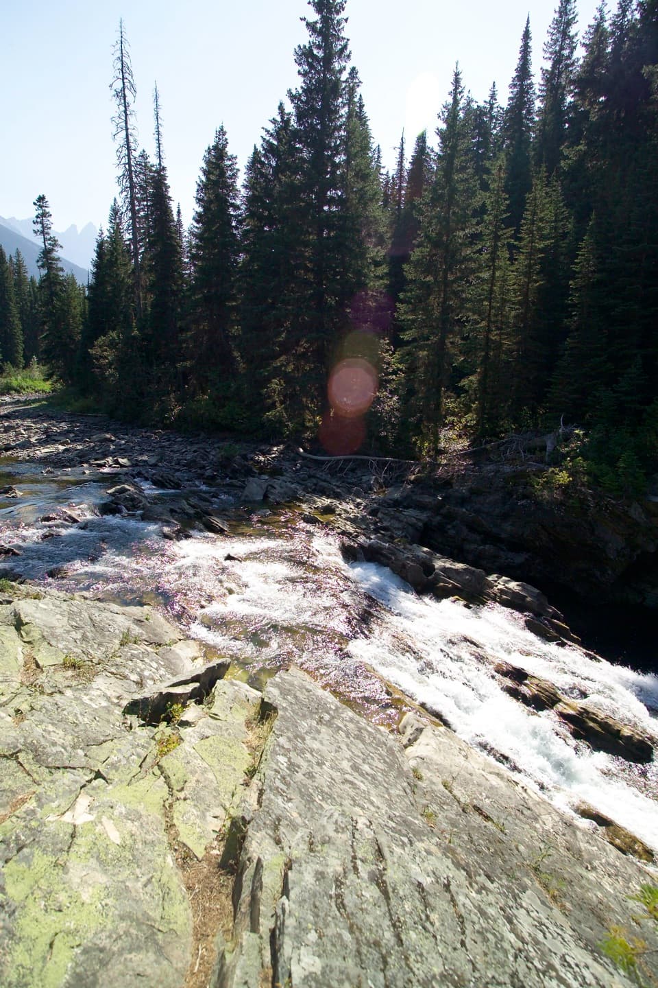 EasyRainbow Falls Trail2 mi · 1 hr · 3.4 mi awayA short forest walk ends at a waterfall beneath high peaks.
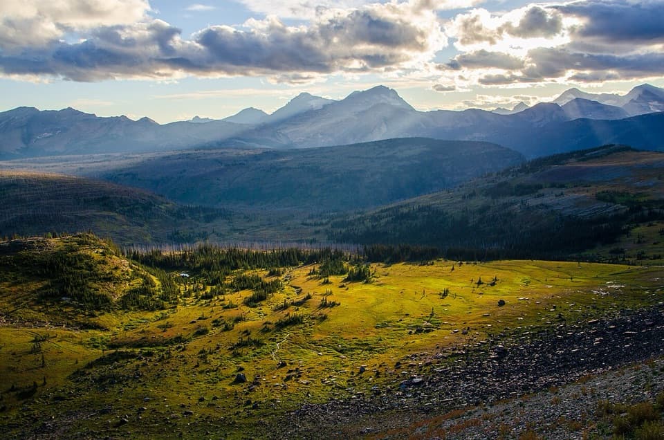 ChallengingWaterton Valley Trail10.5 mi · 7 hr · 4.4 mi awayA steep drop from alpine meadow to remote Goat Haunt.
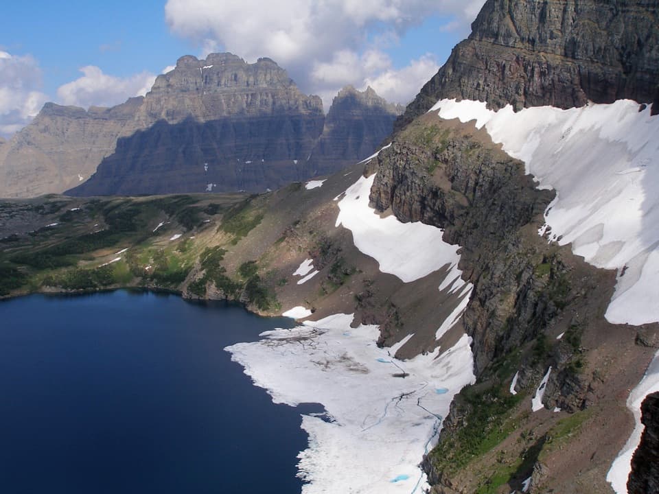 ModerateSue Lake Overlook Trail0.8 mi · 45 min · 4.7 mi awayA steep spur climbs to a high perch above Sue Lake.
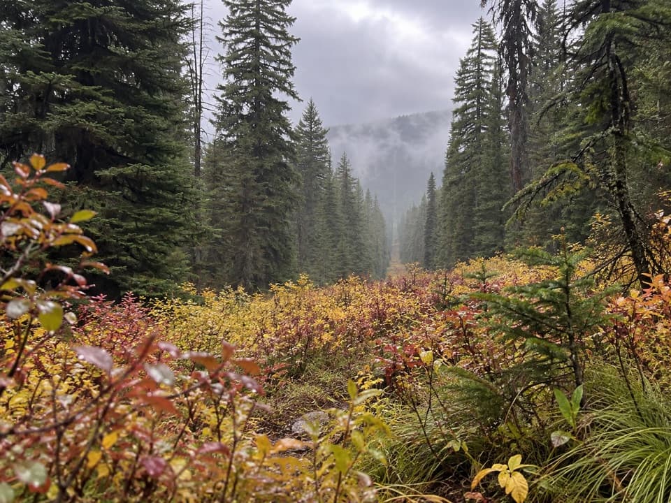 ModerateNorth Boundary Trail5.3 mi · 4 hr · 6 mi awayA remote creek corridor ends at the international boundary.
Parkwolf’s Glacier ranking

The audio tour guide for the drive, plus offline maps, trails, and wildlife heatmaps for when the signal drops.