Parking
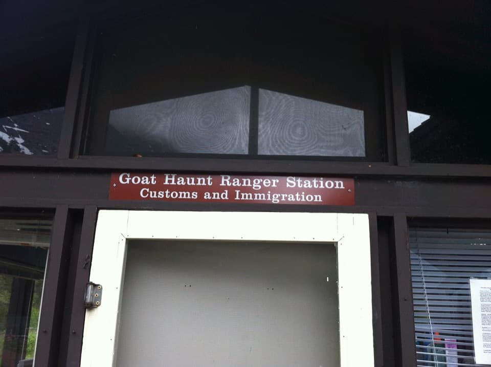
Goat Haunt is not road-accessible; visitors arrive by boat or hike in. From the dock, follow the paved path to Goat Haunt Ranger Station and start on Waterton Lake Trail. There is no road-accessible trailhead parking.
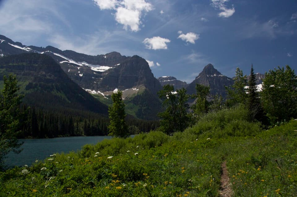
Glacier National Park, MT
A suspension bridge and a long climb lead to Lake Janet.
Overview
Map & elevation
Plan your hike

The highest, rockiest slopes around here are a summer buffet for grizzly bears.
Glacier Tour Guide
Parkwolf is a GPS audio tour guide for Glacier National Park. As you drive, it chimes in with what’s ahead: hidden gems, upcoming stops, history, geology, and wildlife, right through your car’s speakers.
See the Glacier audio tour“Our first time to glacier and we used the audio portion for Going to the Sun Road. Wonderful information with perfect advice of what to see and do along the road.”


Trail guide
Lake Janet is a backcountry lake reached on a 6.6-mile out-and-back from Goat Haunt Ranger Station. The published distance is 3.3 miles each way; the mapped tread measures closer to 3.5 miles one way, so expect roughly seven miles on foot. Allow about 3½ to 4 hours of hiking, then add the boat or trail approach to Goat Haunt.
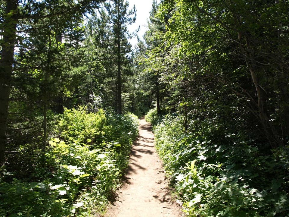
Follow Waterton Lake Trail past the Rainbow Falls junction and cross the Waterton River on a suspension bridge. Keep right at the campground junction, then turn onto Boulder Pass Trail. The climb is steep at first and eases before the first mile. As the trees open, Mount Cleveland appears to the southeast and Citadel Peaks to the south.
The route follows Lake Janet's north shore, where dense vegetation leaves little easy beach access. Porcupine Ridge rises across the water and can reflect on calm mornings. Look for that view from the lakeside tread; the route continues toward Lake Francis, but turn around at Janet for this day hike.
Goat Haunt has no road access and is reached by boat or hiking. The ranger station is a short paved walk from the dock; a ranger station and seasonal scenic cruises are the only services. If you arrive by boat and hike past the ranger station, complete the current U.S. Customs entry reporting requirements. A passport or other approved travel document is required for travel beyond Goat Haunt.
Wildlife
 404 sightingsGrizzly BearMost seen around 6 AMSighting map
 11 sightingsWolverineMost seen around 8 PMSighting map
 1,173 sightingsMountain GoatMost seen around 6 AMSighting map
 1,000 sightingsBighorn SheepMost seen around 6 AMSighting map
 395 sightingsMooseMost seen around 6 AMSighting map
 506 sightingsBlack BearMost seen around 8 PMSighting map
Sighting maps show where each species has been reported across Glacier. Wildlife moves, so no sighting is guaranteed.
Keep exploring
 ModerateKootenai Lakes Trail5.6 mi · 3 hr · At the trailheadA remote forest walk opens onto Kootenai Lakes beneath the Citadel Peaks.
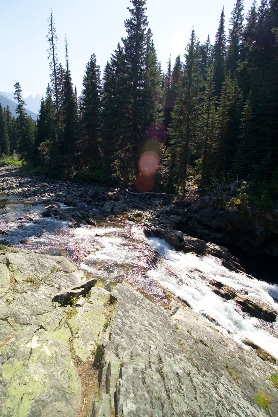 EasyRainbow Falls Trail2 mi · 1 hr · At the trailheadA short forest walk ends at a waterfall beneath high peaks.
 ChallengingLake Francis Trail12.6 mi · 8 hr · At the trailheadA long backcountry walk ends at a lake below The Sentinel.
 ModerateGoat Haunt Overlook Trail2 mi · 1.8 hr · 0.1 mi awayA short, steep climb to a former lookout above Waterton Valley
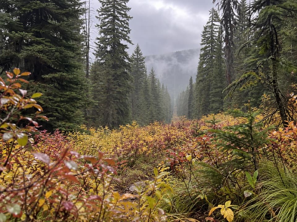 ModerateNorth Boundary Trail5.3 mi · 4 hr · 2.7 mi awayA remote creek corridor ends at the international boundary.
 ChallengingPorcupine Lookout Trail10 mi · 8 hr · 3.4 mi awayA remote ridge climb to Glacier's old fire lookout.
 ModerateLakeshore Trail to Goat Haunt8.4 mi · 4 hr · 6.2 mi awayA wooded lakeshore crossing from Waterton to Glacier’s Goat Haunt.
 ChallengingBear Mountain Lookout Trail4 mi · 4 hr · 6.9 mi awayA steep climb to big lake views and a historic lookout site.
Parkwolf’s Glacier ranking

The audio tour guide for the drive, plus offline maps, trails, and wildlife heatmaps for when the signal drops.