Parking
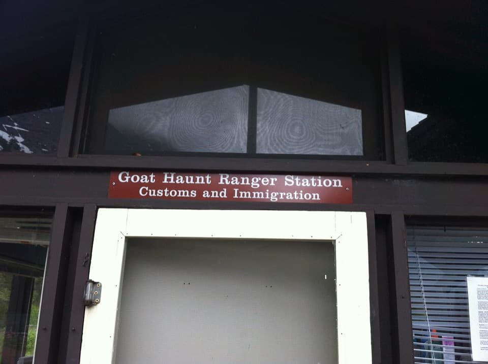
Begin at Goat Haunt Ranger Station. Boat passengers follow the paved path from the dock; the area is reached by watercraft or backcountry trail rather than a drive-up trailhead.
Glacier National Park, MT
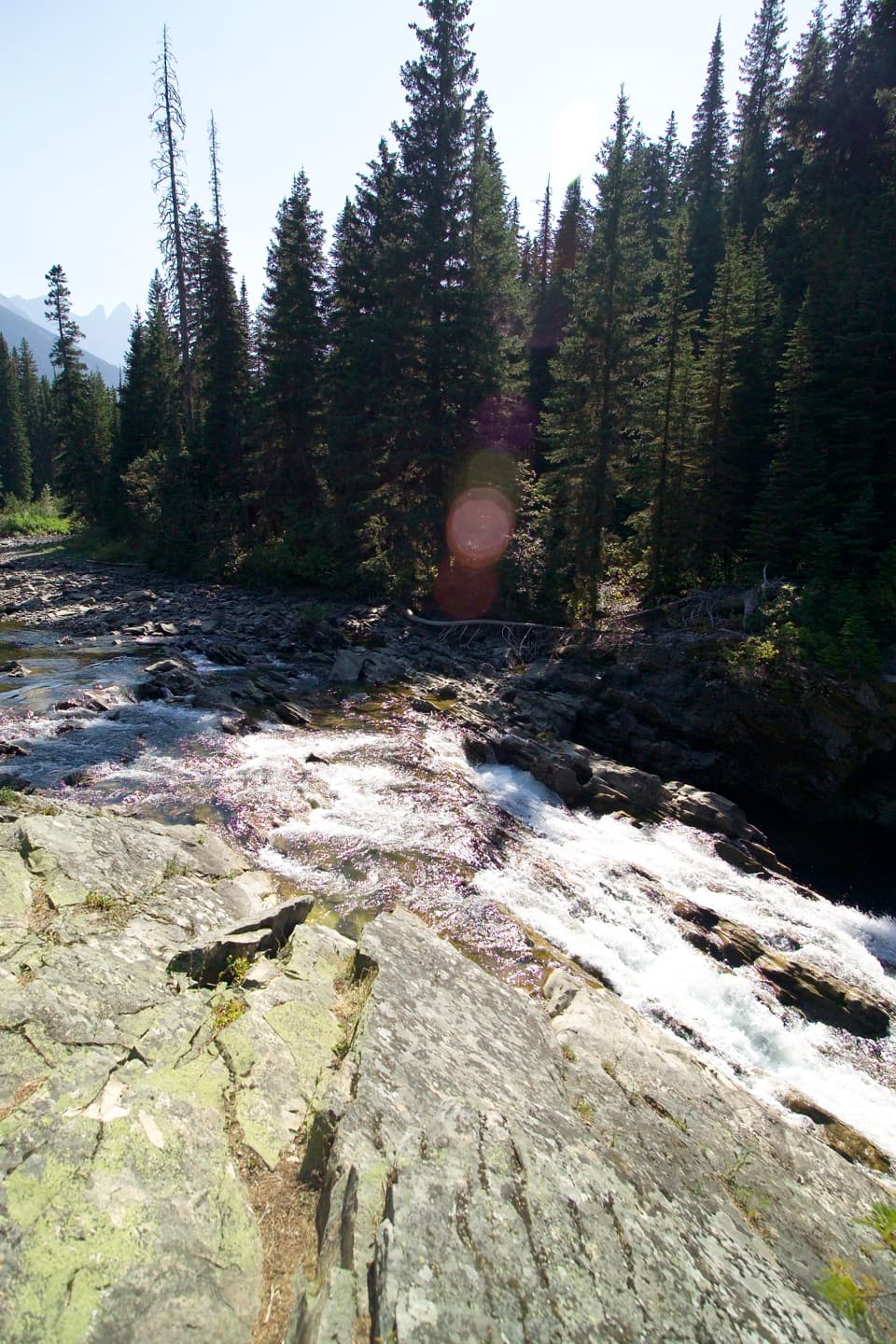
A short forest walk ends at a waterfall beneath high peaks.
Overview
Rainbow Falls is a 2-mile out-and-back from Goat Haunt Ranger Station, listed as 1 mile each way. The route follows Waterton Lake Trail for most of the walk, then branches onto Rainbow Falls Trail to the cascade. Budget about an hour on foot; its short distance makes it an easy side trip if you are already at Goat Haunt, but getting to the remote start takes more planning than the hike itself.
 Parkwolf’s verdictA waterfall worth the detour
Map & elevation
Plan your hike

The highest, rockiest slopes around here are a summer buffet for grizzly bears.
Glacier Tour Guide
Parkwolf is a GPS audio tour guide for Glacier National Park. As you drive, it chimes in with what’s ahead: hidden gems, upcoming stops, history, geology, and wildlife, right through your car’s speakers.
See the Glacier audio tour“Our first time to glacier and we used the audio portion for Going to the Sun Road. Wonderful information with perfect advice of what to see and do along the road.”


Trail guide
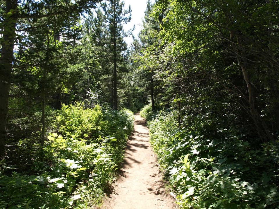
Most of the approach runs through forest. A route description places Cleveland Creek about 0.2 mile in and says the walk then follows Waterton River before the falls; it does not say whether the creek crossing is bridged. The mapped line is about 0.96 mile to the falls, close to the park's rounded one-way mile. The current trail detail reports 172 feet of gain and 108 feet of descent on the approach, so expect some short ups and downs.
A natural mineral lick lies along the route, and deer are often seen there. At the end, water tumbles across layered gray rock, with tall conifers and distant mountain peaks in view. Frame the cascade with some of the trees and peaks so the picture keeps the setting as well as the water.
All hikes in the area start at Goat Haunt Ranger Station. Boat arrivals walk a paved path from the dock; the area can also be reached by backcountry trails. Hikers going beyond the station must report their U.S. entry under current CBP rules; the short round-trip ferry exception applies only to visitors who do not hike past the station. Arrange reporting and boat or backcountry logistics before leaving Waterton, where there is limited cell service along the lake. The station lists drinking water and a seasonal restroom; food service on the route was not established.
Pets are not allowed on Glacier trails. The park warns visitors to take care around water, steep drop-offs, and wildlife; give animals at the mineral lick plenty of space. Check current boat and trail-status information before setting out; access and conditions can change.
Wildlife
 404 sightingsGrizzly BearMost seen around 6 AMSighting map
 11 sightingsWolverineMost seen around 8 PMSighting map
 1,173 sightingsMountain GoatMost seen around 6 AMSighting map
 1,000 sightingsBighorn SheepMost seen around 6 AMSighting map
 395 sightingsMooseMost seen around 6 AMSighting map
 506 sightingsBlack BearMost seen around 8 PMSighting map
Sighting maps show where each species has been reported across Glacier. Wildlife moves, so no sighting is guaranteed.
Keep exploring
 ModerateKootenai Lakes Trail5.6 mi · 3 hr · At the trailheadA remote forest walk opens onto Kootenai Lakes beneath the Citadel Peaks.
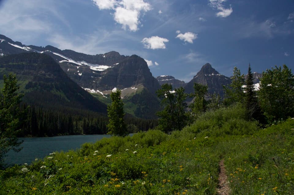 ModerateLake Janet Trail6.6 mi · 3.8 hr · At the trailheadA suspension bridge and a long climb lead to Lake Janet.
 ChallengingLake Francis Trail12.6 mi · 8 hr · At the trailheadA long backcountry walk ends at a lake below The Sentinel.
 ModerateGoat Haunt Overlook Trail2 mi · 1.8 hr · 0.1 mi awayA short, steep climb to a former lookout above Waterton Valley
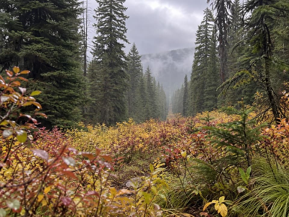 ModerateNorth Boundary Trail5.3 mi · 4 hr · 2.7 mi awayA remote creek corridor ends at the international boundary.
 ChallengingPorcupine Lookout Trail10 mi · 8 hr · 3.4 mi awayA remote ridge climb to Glacier's old fire lookout.
 ModerateLakeshore Trail to Goat Haunt8.4 mi · 4 hr · 6.2 mi awayA wooded lakeshore crossing from Waterton to Glacier’s Goat Haunt.
 ChallengingBear Mountain Lookout Trail4 mi · 4 hr · 6.9 mi awayA steep climb to big lake views and a historic lookout site.
Parkwolf’s Glacier ranking
The audio tour guide for the drive, plus offline maps, trails, and wildlife heatmaps for when the signal drops.