1 active Glacier alert
- ClosureTwo Medicine Campground closed for 2026 constructionTwo Medicine Campground is closed throughout 2026 because of construction in the Two Medicine developed area.Official details
#3 of 53 sights in Glacier
Sight · Glacier National Park
A steep hike ends above turquoise water and a glacier.
Overview
Map
Plan your stop

The highest, rockiest slopes around here are a summer buffet for grizzly bears.
Glacier Tour Guide
Parkwolf is a GPS audio tour guide for Glacier National Park. As you drive, it chimes in with what’s ahead: hidden gems, upcoming stops, history, geology, and wildlife, right through your car’s speakers.
See the Glacier audio tourRecorded for this place
Grinnell Glacier Trailhead“You’re coming up on Grinnell Glacier Trailhead, the start of a demanding hike to a turquoise lake beneath the glacier and the Garden Wall.”
Plays as you drive up to Grinnell Glacier Viewpoint in the Parkwolf Glacier Tour Guide.
More stories near here in the app
“Our first time to glacier and we used the audio portion for Going to the Sun Road. Wonderful information with perfect advice of what to see and do along the road.”


Guide
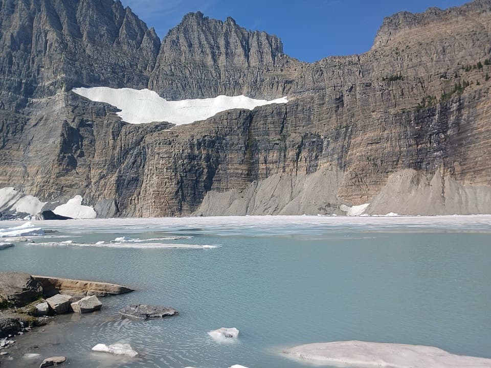
Grinnell Glacier Viewpoint is the high-country destination at the end of Grinnell Glacier Trail, above Upper Grinnell Lake in Many Glacier. The lake, glacier ice, and sheer Garden Wall make a distinctive basin. Keep it near the top of your plans if you want a major day hike; this is not a roadside stop.
From Grinnell Glacier Trailhead, plan for about five miles each way. The seasonal concession boat from Many Glacier Hotel crosses Swiftcurrent Lake and Lake Josephine, shortening the walk to roughly 3½ to 4 miles each way, but it still leaves a steep climb. Reserve boat seats ahead. In busy periods, hikers report that Many Glacier parking fills early, so an early start helps.
Much of the route is exposed, with little shade, narrow ledges above drop-offs, and a steep moraine climb near the destination. The trailhead has a seasonal restroom. No food service or potable water source was identified along the route; get food and fill water in Many Glacier, then carry what you need for the full hike. Snow, water, and weather conditions change, so check the park’s current trail status before setting out.
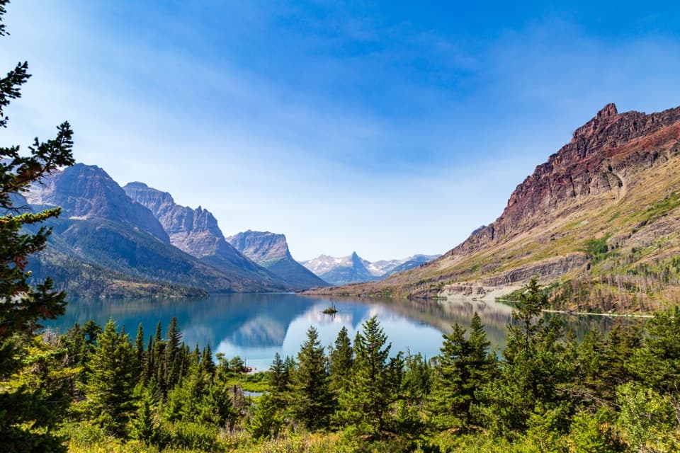
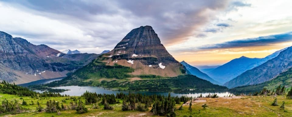
Grinnell Lake and Grinnell Falls appear below the trail on the way up. Higher on the moraine, the view opens over Lake Josephine and Sherburne Lake. At the end, Upper Grinnell Lake fills the foreground beneath the glacier and Mount Gould, with the serrated Garden Wall along the rim of the basin.
Upper Grinnell Lake formed between the glacier and its moraine as the ice retreated. The upper ice mass called The Salamander sits above the main Grinnell Glacier, separated from it by a rocky ledge. The glacier has shrunk substantially since early observations.
George Bird Grinnell first visited the area in 1885. He, James W. Schultz, and Lt. J. H. Beacon first visited the glacier in 1887. Both Schultz and Beacon claimed to have named it for Grinnell; a later historical account credited Beacon.
At the basin, keep Upper Grinnell Lake in the foreground and include the glacier high on the Garden Wall; the wide view shows how the ice sits within the cirque. The lower and upper Grinnell ridge viewpoints used for repeat glacier photographs are separate routes, not this trail-end view.
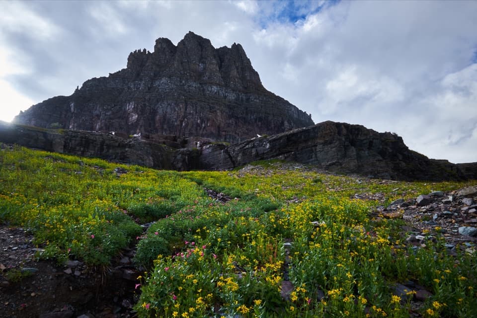
Wildflowers line parts of the trail, and mountain goats and bighorn sheep are sometimes reported on the ledges. Treat wildlife as a possible bonus, not a promise.
Wildlife
 404 sightingsGrizzly BearMost seen around 6 AMSighting map
 11 sightingsWolverineMost seen around 8 PMSighting map
 1,173 sightingsMountain GoatMost seen around 6 AMSighting map
 1,000 sightingsBighorn SheepMost seen around 6 AMSighting map
 395 sightingsMooseMost seen around 6 AMSighting map
 506 sightingsBlack BearMost seen around 8 PMSighting map
Sighting maps show where each species has been reported across Glacier. Wildlife moves, so no sighting is guaranteed.
Keep exploring
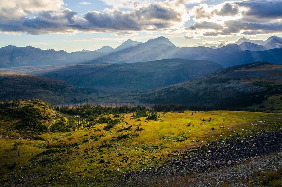 ChallengingNorthern Highline Trail11.9 mi · 9 hr · 2.1 mi awayA remote alpine traverse for a multi-day backcountry trip.
 EasyGrinnell Lake Trail2.2 mi · 1.5 hr · 2.3 mi awayTwo boat crossings lead to a short walk beneath Grinnell Falls.
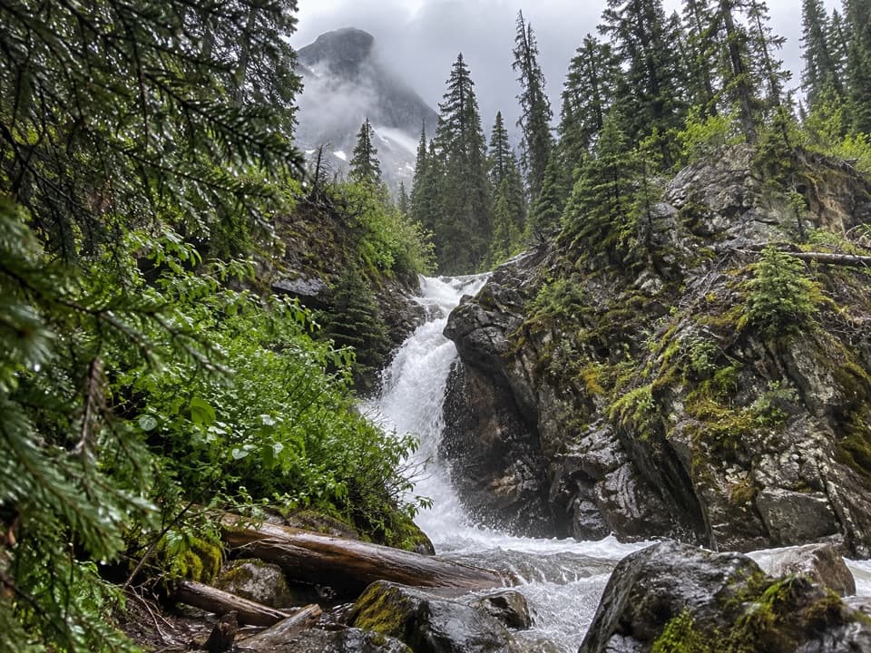 EasyHidden Falls Trail1.9 mi · 1.5 hr · 2.3 mi awayA short, steep spur to a waterfall tucked in a creek gorge.ChallengingFlattop Mountain Trail12 mi · 9 hr · 2.5 mi awayA remote 12-mile crossing from Packer's Roost to Fifty Mountain.
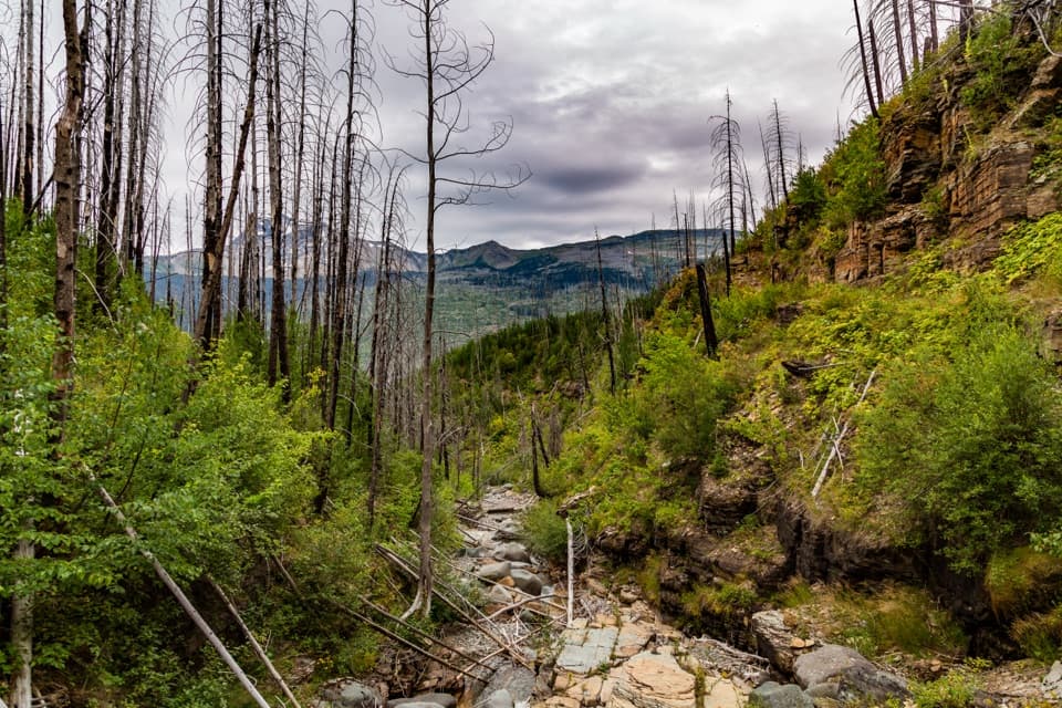 ChallengingGranite Park Trail from The Loop8.4 mi · 6 hr · 3.3 mi awayA steep climb through the 2003 burn to a historic chalet.
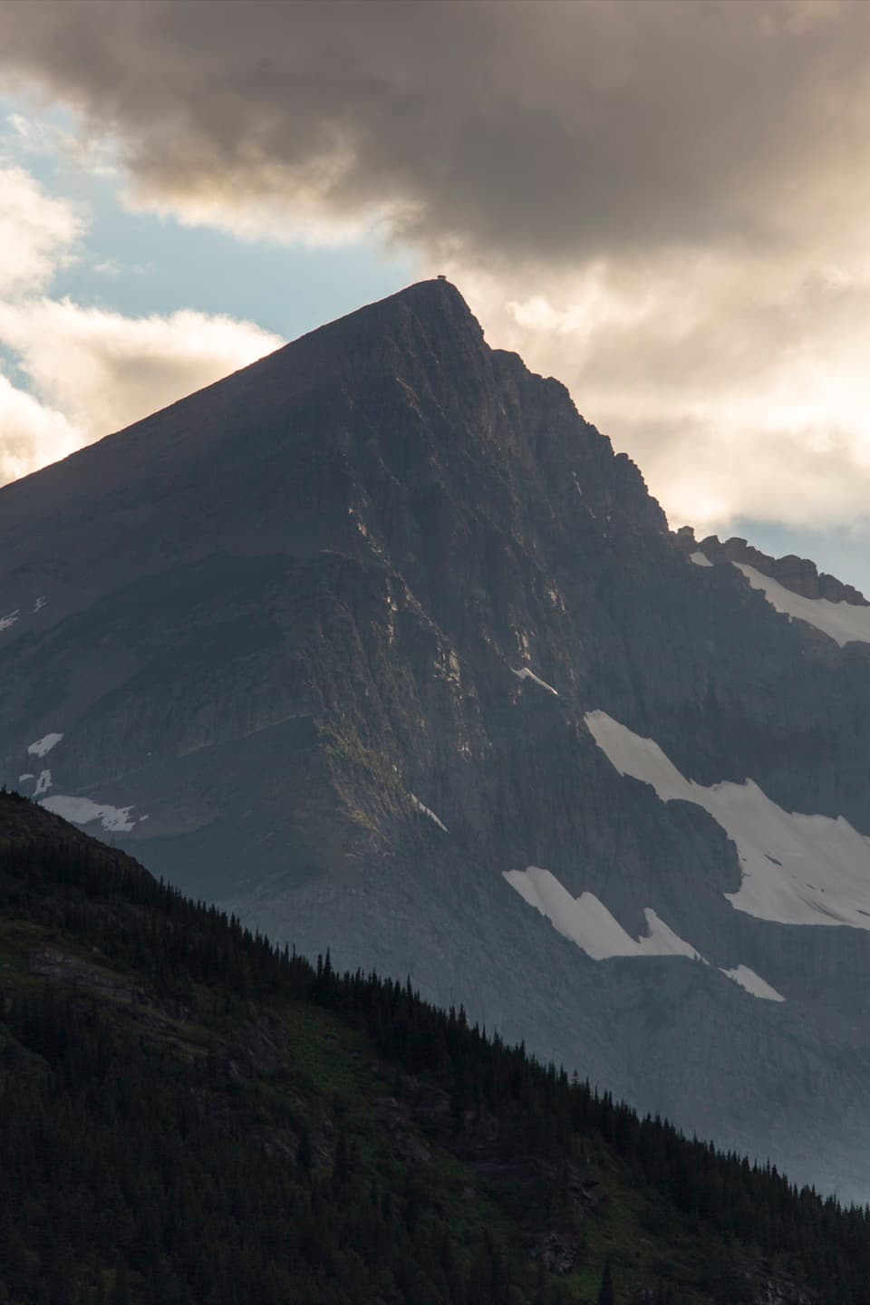 ChallengingSwiftcurrent Lookout Trail16.5 mi · 11 hr · 3.5 mi awayA big Many Glacier day ends at a historic summit lookout.
 ChallengingSwiftcurrent Pass Trail13.6 mi · 8.5 hr · 3.5 mi awayThree lakes first, then a rugged climb to the Continental Divide.
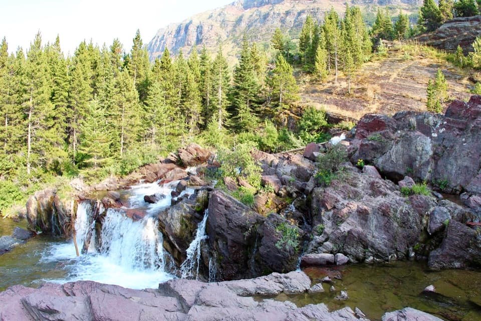 EasyRedrock Falls Trail3.6 mi · 2.3 hr · 3.5 mi awayA gentle lake walk ending at red-rock cascades.
 Sight · 0.7 mi awayGrinnell Glacier OverlookA steep ridge spur above Grinnell's shrinking glacier.
 Sight · 1.3 mi awayGrinnell LakeTurquoise water in a mountain basin, with a boat shortcut.
 Sight · 1.7 mi awayHaystack Creek FallsA waterfall slips beneath the road in a stone-faced culvert.
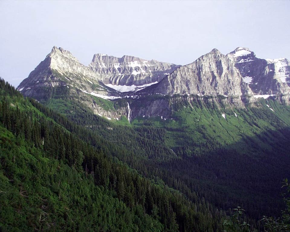 Sight · 1.7 mi awayBird Woman Falls OverlookA 492-foot waterfall framed by a hanging valley.
 Lodging · 2.1 mi awayGranite Park ChaletA rare 1914 chalet worth the hike if you're staying overnight.
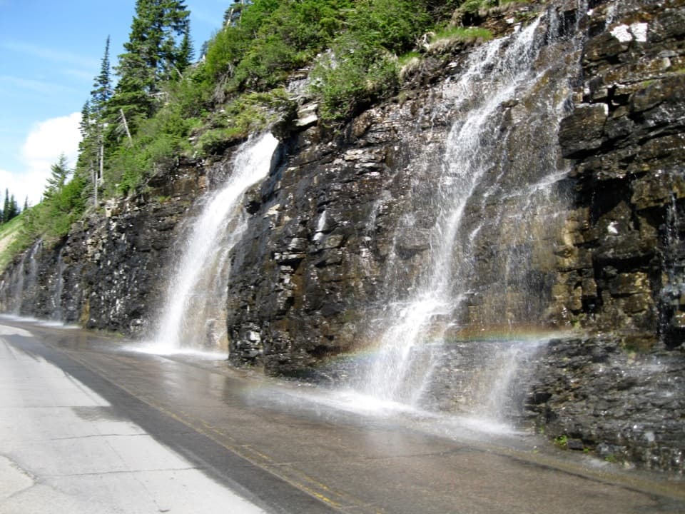 Sight · 2.3 mi awayWeeping WallA snowmelt curtain turns the road into a waterfall pass.
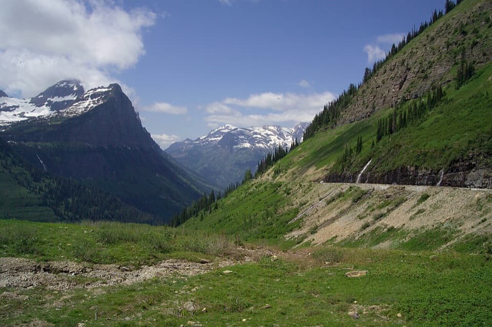 Scenic pullout · 2.3 mi awayBig BendA sweeping bend with Mount Cannon, Oberlin, and Heaven's Peak in view.
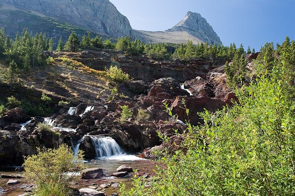 Sight · 2.6 mi awayRedrock FallsA shaded walk opens onto red-rock cascades and a mountain lake.
Parkwolf’s Glacier ranking

The audio tour guide for the drive, plus offline maps, trails, and wildlife heatmaps for when the signal drops.