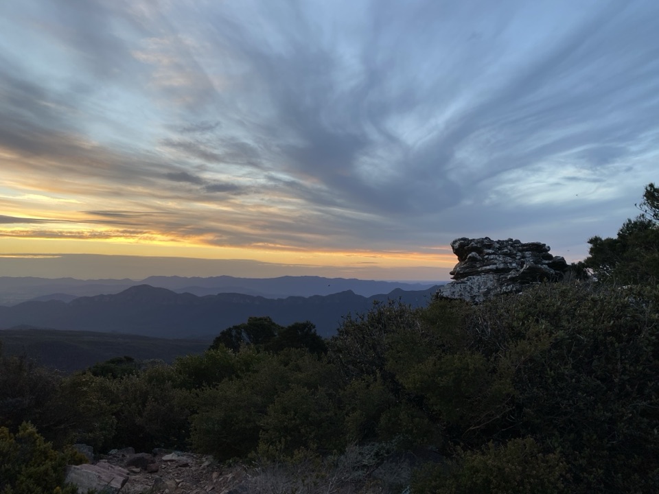
Mount William (Duwul) in Grampians National Park

#6 of 46 sights in Grampians

Sight · Grampians National Park

Mount William (Duwul)

A high, windy summit with sweeping views across rugged ranges

Photo: Wikimedia Commons
Type
Sight
Nearest trail
0.9 km
Audio stories
4 nearby
  • Parking
  • Scenic viewpoint
  • Trailhead

Hear the audio tour

Mount William: The Highest View

Overview

About Mount William (Duwul)

Why stop

  • Unbroken 360-degree views from the range's highest point
  • Exceptional sunrise and sunset outlooks

Heads up

  • The climb is steep and mostly follows a paved access road
  • The exposed summit can be cold and windy
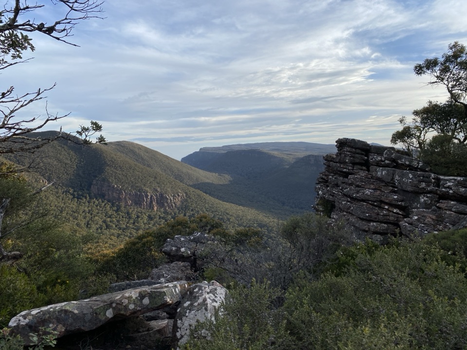
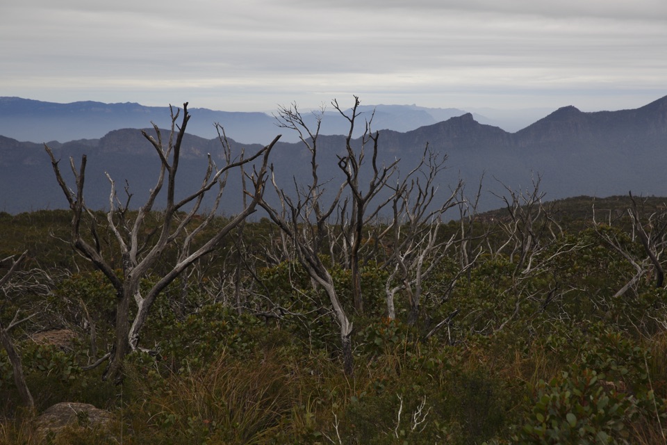
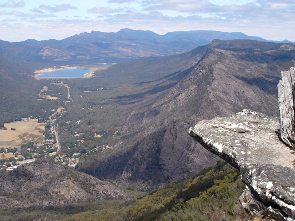
At 1,167 metres, Mount William (Duwul) is the high point of the Grampians (Gariwerd). The summit gives you the destination's broadest possible outlook: jagged ranges, open plains and farmland spread out in every direction. Near the top, taller forest gives way to stunted eucalyptus, low shrubs and exposed rock, which makes the finish feel distinctly alpine.
Parkwolf’s verdictWhy stop

Map

Where it is

Loading the Grampians map
Full map
SightMount William (Duwul)-37.29273, 142.60112
Keep this map with you offline in the Parkwolf app

Plan your stop

Before you go

Best time to go

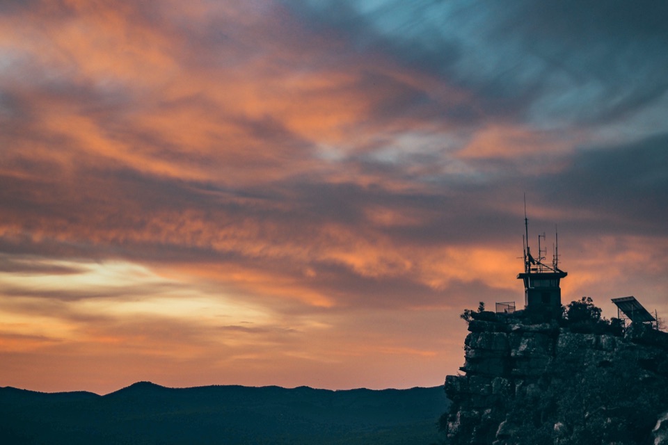
Sunrise and sunset are especially good times to go: low light picks out the layered ridges and gives the exposed rock warmer colour. The summit is open to wind and can be much colder than the lower country, so bring a warm layer even on a mild day. Cloud can erase the long-distance views, while hot weather makes the uphill section feel substantially harder. For a dawn or dusk walk, carry a headlamp and leave enough time to return before dark.


5 active Grampians alerts

  • ClosureBushfire-damaged walks and picnic area remain closedThe Fortress, Red Gum, Billimina, Chimney Pots and Brownings Loop walks, plus Mafeking Picnic Area, remain closed because of track or site damage from the 2024/25 summer bushfires.Official details
  • ClosureMackenzie Falls precinct closed during constructionThe Mackenzie Falls (Migunang wirab) Precinct has no vehicle or visitor access during major construction works expected to finish by the end of 2026.Official details
See all 5 alerts
A park ranger sits on a dash-mounted phone, talking, as Parkwolf’s Tour Guide plays “Army Cutworm Moths: A Grizzly Bear Buffet” on Grand Loop Road below Dunraven Pass in Yellowstone
Parkwolf Tour GuideThe highest, rockiest slopes around here are a summer buffet for grizzly bears.

Grampians Tour Guide

Your drive to Mount William (Duwul), narrated.

Parkwolf is a GPS audio tour guide for Grampians National Park. As you drive, it chimes in with what’s ahead: hidden gems, upcoming stops, history, geology, and wildlife, right through your car’s speakers.

Recorded for this place

Mount William: The Highest View
0:00 / 0:59
“You're approaching the car park for Mount William, where a steep walk leads to the highest point in the Grampians.”

Plays as you drive up to Mount William (Duwul) in the Parkwolf Grampians Tour Guide.

More stories near here in the app

  • The Echidna's Electric Nose
  • The Snow Gum with One Mountain Home
  • An Orchid's Hidden Helper
  • When a Sun Orchid Opens
  • 233 audio storiesacross Grampians’s roads, triggered by GPS as you drive
  • Wildlife heatmapsfor Short-beaked Echidna, Powerful Owl, Wedge-tailed Eagle, and 13 more
  • Works offlinemaps, 81 trails, 62 places, and audio download before you lose signal
  • CarPlay readysimple controls built for the drive
★★★★★
“Fantastic app with many points of information… It’s great to just turn on while you’re driving and it gives you an audio tour of the national Park. We love it!!!!”
JMJamesApp Store review
Download Parkwolf on the App StoreGet Parkwolf on Google Play

4.7 from 8,600+ ratings

Guide

More about Mount William (Duwul)

The walkThe public drive ends at Mount William Carpark.

The public drive ends at Mount William Carpark. From there, continue on foot up the steep paved access road for roughly 2 kilometres to the summit. Allow about 45 minutes uphill if you are moderately fit, and expect the descent to be quicker but hard on the knees. The route is straightforward, though the continuous slope makes it feel more strenuous than the distance suggests. Wear shoes with a reliable grip and take your time on the way down.

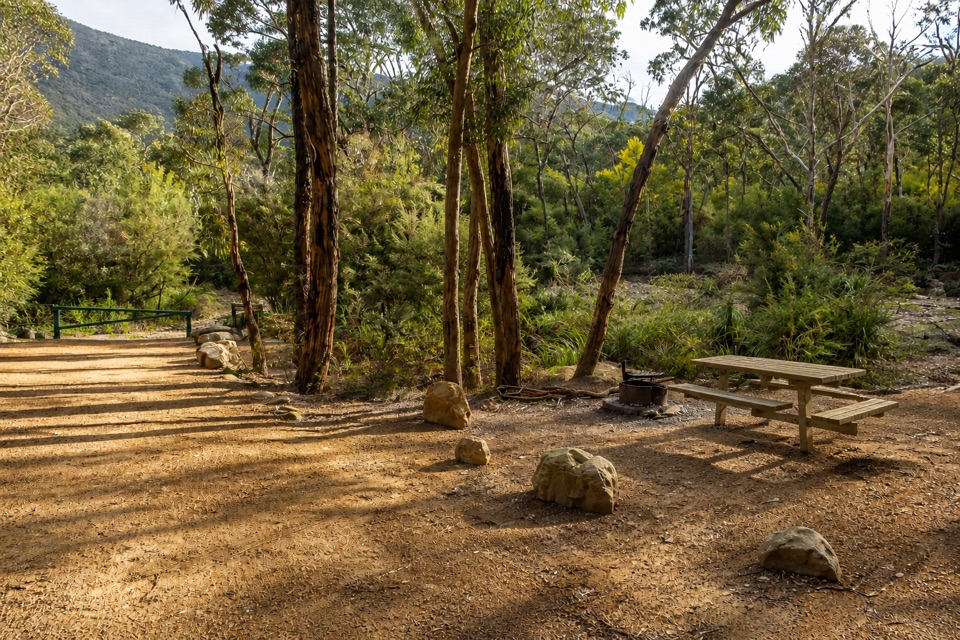
Facilities and practical notesThe useful facility is the surface carpark at the foot of the walk.

The useful facility is the surface carpark at the foot of the walk. The site does not advertise food, toilets or potable water at the summit, so arrive self-sufficient with drinking water and anything else you need. Treat the steep track, exposed edges and loose or slippery rock seriously, especially after rain.

Why stopThis is a summit for the panorama rather than a complicated landmark at the top.

This is a summit for the panorama rather than a complicated landmark at the top. The reward is the sense of standing above the whole range, with views that keep unfolding as you climb. It is a worthwhile stop for photographers and anyone who wants the park's biggest-scale view, but it is less rewarding if you are looking for a short, level roadside lookout.

Wildlife

Wildlife in Grampians

All Grampians wildlife maps

Sighting maps show where each species has been reported across Grampians. Wildlife moves, so no sighting is guaranteed.

Parkwolf’s Grampians ranking

Top sights in Grampians

All 62 places
  1. 1MacKenzie Falls (Migunang wirab)Sight
  2. 2Pinnacle LookoutSight
  3. 3Boroka LookoutSight
  4. 4Reeds LookoutSight
  5. 5The BalconiesSight
  6. 7Venus BathsSight

Take Parkwolf to Grampians.

The audio tour guide for the drive, plus offline maps, trails, and wildlife heatmaps for when the signal drops.

4.7 from 8,600+ ratings

Download Parkwolf on the App StoreGet Parkwolf on Google Play