Parking
Sheep Hills Carpark on Grampians Road is the primary start and finish. Plan the overnight permits and transport logistics before setting out.
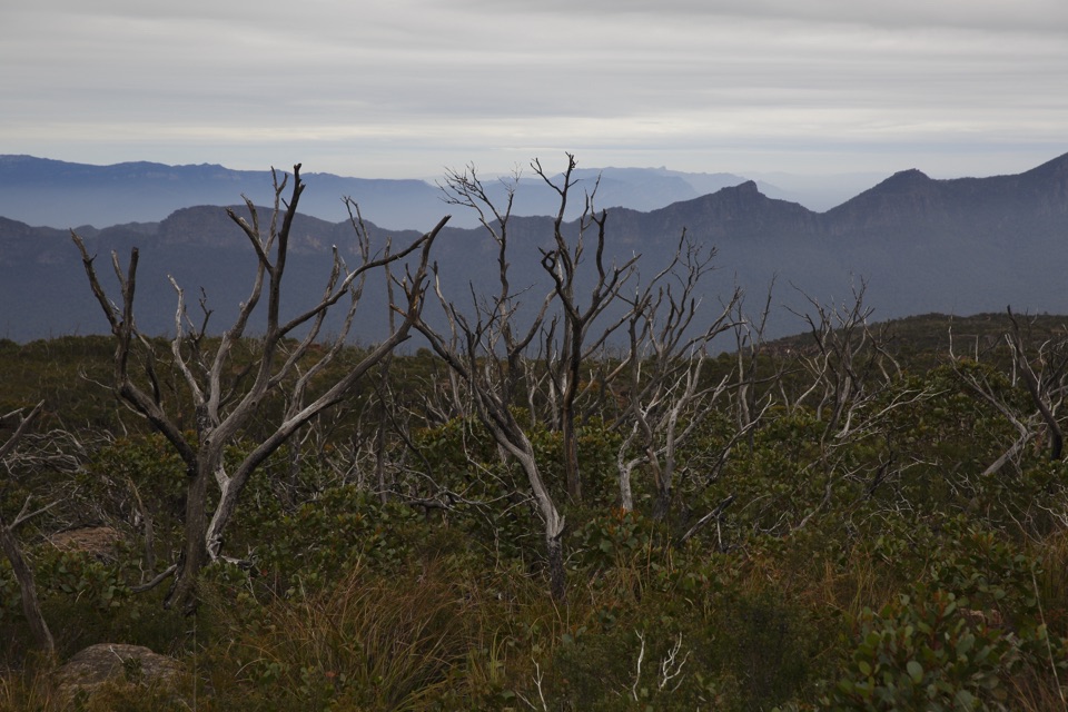
Grampians National Park, VIC
Three days of windswept sandstone high country, big views, real navigation
Overview
Map & elevation
Plan your hike

The highest, rockiest slopes around here are a summer buffet for grizzly bears.
Grampians Tour Guide
Parkwolf is a GPS audio tour guide for Grampians National Park. As you drive, it chimes in with what’s ahead: hidden gems, upcoming stops, history, geology, and wildlife, right through your car’s speakers.
Recorded for this trailhead
Sheep Hills: The Major Mitchell Plateau“You're nearing Sheep Hills Carpark, the starting point for the three-day Major Mitchell Plateau hike. The highlight is the open plateau, where low heath and sandstone slabs give way to wide views across the ranges.”
Plays as you drive up to this trailhead in the Parkwolf Grampians Tour Guide.
More stories near here in the app
“Fantastic app with many points of information… It’s great to just turn on while you’re driving and it gives you an audio tour of the national Park. We love it!!!!”


Trail guide
A 41 km (about 25.5 mile) closed loop walked over three days, starting and finishing at Sheep Hills Carpark. Total climb is around 2,030 m, the low point sits near 320 m and the high point is Mount William (Duwul) at roughly 1,167 m, the highest ground in the Grampians. Graded for experienced walkers, and Parks Victoria treats it as an overnight option for people who already know how to look after themselves in remote country.
The payoff is the middle day: hours of quiet, open high country with broad views across ranges and valleys.
Roughly 15 hours of walking spread across the three days, so five hours or so per day on paper. Add time for pack weight, the climbing, the scramble and slow going on rock, and full days are realistic rather than half days. Footing swings between graded track, loose steep ground at Boundary Gap, and bare slab and rock where you pick your own line. Shelter up high is limited and weather can change quickly, so wind and cold gear matter even when the forecast looks kind.
This is the part people underestimate. The plateau can be indistinct, dark and rocky, and the loop uses management tracks and firelines that are less obvious than the main walking routes. Carry a map and compass, know how to use them, and do not rely on following a worn path across the open sections.
Access to First Wannon is also possible from Mount William Carpark (6.8 km) or Jimmy Creek Campground (12 km), useful for planning bail-out options.
The nearby Grampians Peaks Trail is the more formal, booking-heavy way to see this country. This loop is quieter with simpler camping arrangements, and it asks more of you in return.
Wildlife
 157 sightingsShort-beaked EchidnaMost seen around 6 PMSighting map
 37 sightingsPowerful OwlMost seen around 6 PMSighting map
 59 sightingsWedge-tailed EagleMost seen around 11 AMSighting map
 24 sightingsEastern Brown SnakeMost seen around 11 AMSighting map
 10 sightingsTiger SnakeMost seen around noonSighting map
 29 sightingsRed-bellied Black SnakeMost seen around 11 AMSighting map
Sighting maps show where each species has been reported across Grampians. Wildlife moves, so no sighting is guaranteed.
Keep exploring
ChallengingDuwul and Durd Durd 3-day Hike34.7 km · 18 hr · 4.7 km awayThree days over western Victoria's highest peak and an exposed plateau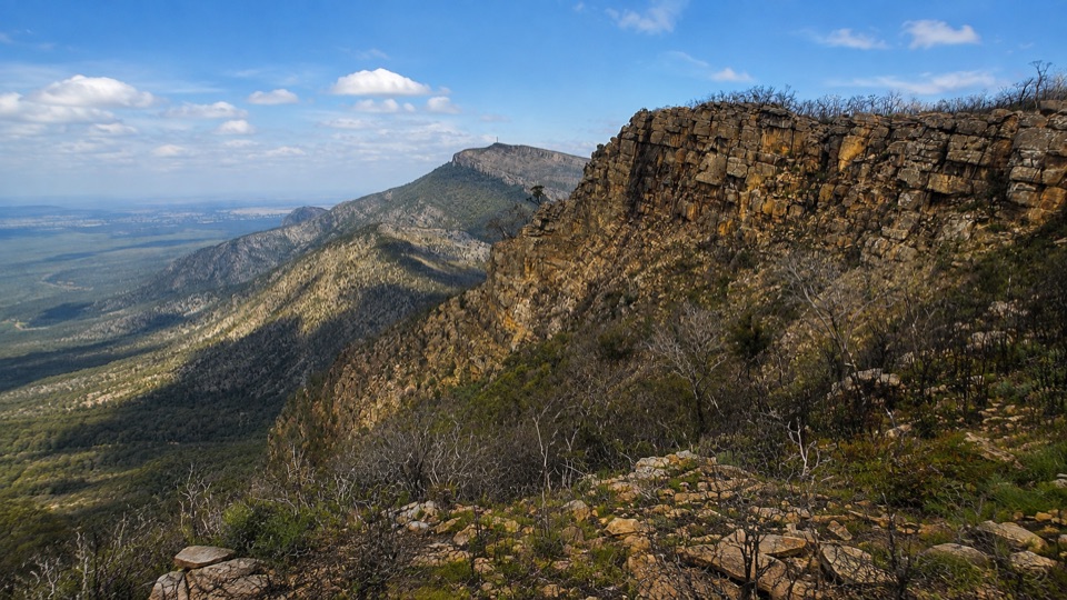 ChallengingDuwul Overnight Hike26 km · 15 hr · 4.7 km awayTwo days over exposed high ridges to a remote hike-in campground
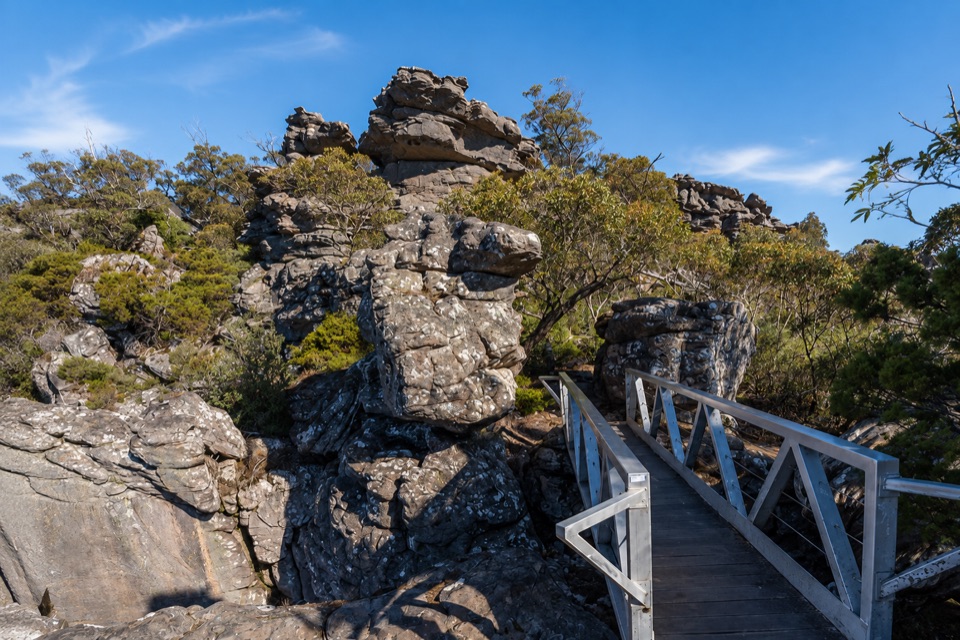 ChallengingMount Rosea from Borough Huts16.1 km · 6.5 hr · 4.9 km awayLong forest climb to a rocky ridge above Lake Bellfield
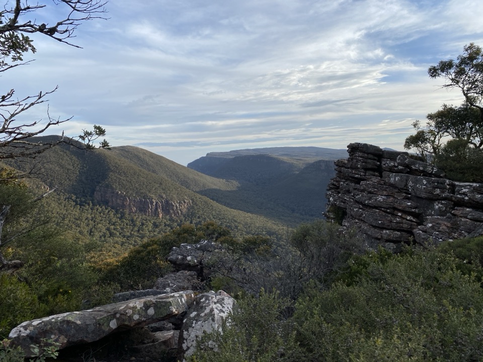 ModerateMt William (Duwul) Summit Walk4 km · 1.8 hr · 5.2 km awaySteep sealed climb to the region's highest point and 360-degree viewsChallengingDurd Durd Overnight Hike20.6 km · 13 hr · 5.2 km awayHighest section of the Peaks Trail, then a long forest descent
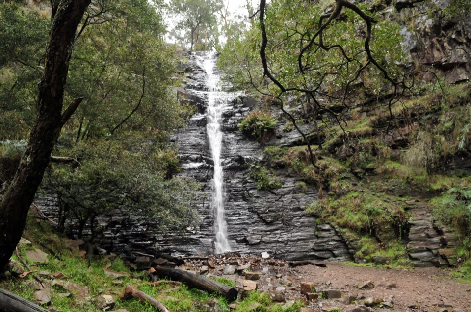 EasySilverband Falls Walk1.6 km · 45 min · 7.8 km awayFerny creekside stroll to a narrow cascade over dark layered rock
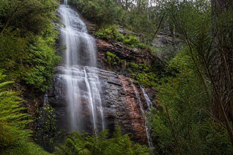 ModerateKalymna Falls Walk3.2 km · 2 hr · 9.5 km awayRocky uphill track to a shaded seasonal waterfall base
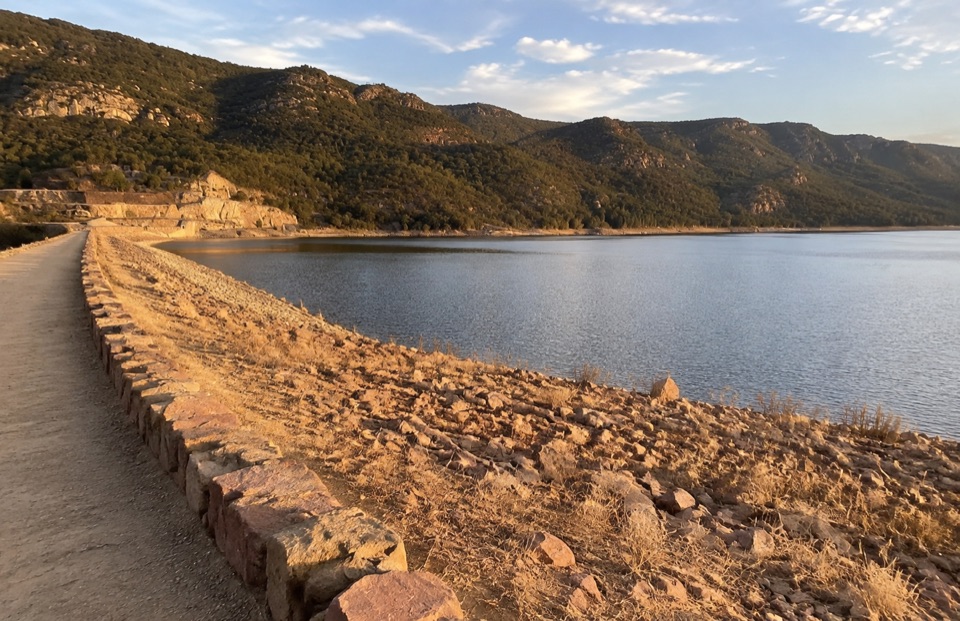 EasyLake Bellfield Wall Walk1.9 km · 45 min · 10.1 km awayShort gravel stroll across a dam wall to reservoir and ridge views
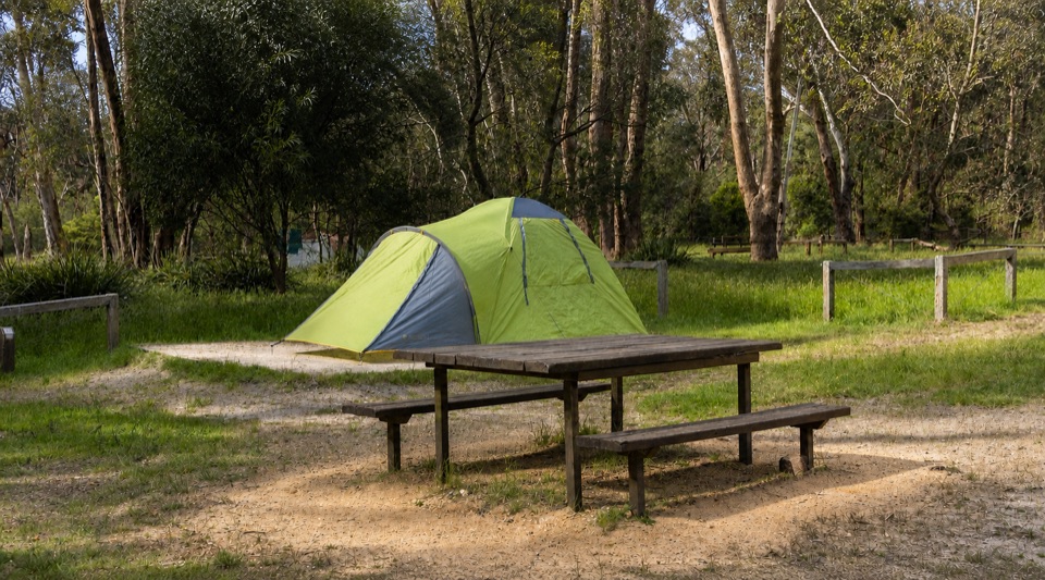 Campground · 4.9 km awayBorough Huts CampgroundQuietly camp beside Fyans Creek, close to Halls Gap and big walks
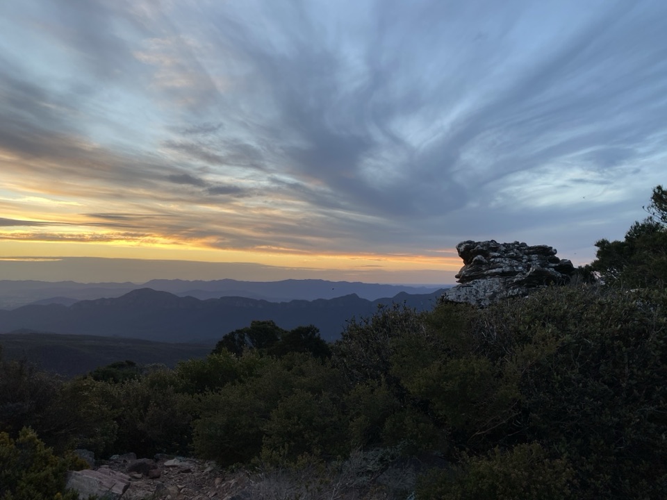 Sight · 6.1 km awayMount William (Duwul)A high, windy summit with sweeping views across rugged rangesSight · 8.2 km awayKalymna FallsA fern-framed cascade that rewards a wet-weather detourSight · 8.4 km awaySilverband FallsA ferny walk to water that vanishes into the rocky creek bed
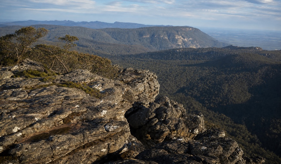 Sight · 8.4 km awayMount Rosea (Bugiga Mirgani)A rugged summit scramble with wide views across the ranges
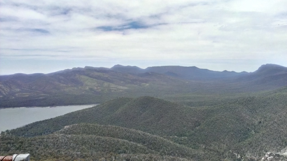 Sight · 9.4 km awaySundial PeakA quiet summit view over Lake Bellfield and the western ranges
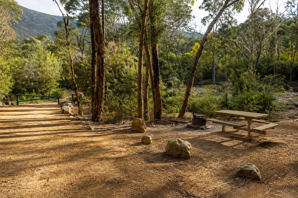 Campground · 9.5 km awayKalymna Falls CampgroundQuiet creekside camping with a seasonal waterfall walk
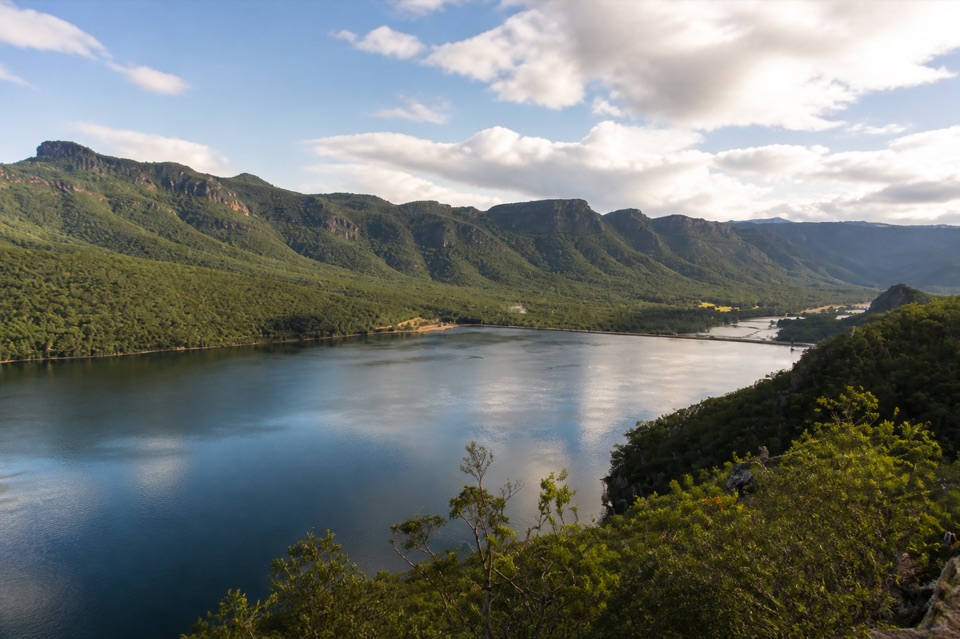 Sight · 10.1 km awayLake BellfieldAn easy dam-wall walk with calm water and mountain reflections
Parkwolf’s Grampians ranking

The audio tour guide for the drive, plus offline maps, trails, and wildlife heatmaps for when the signal drops.





