Parking
Park at Mount William Carpark. This one-way walk finishes at Jimmy Creek Campground, so arrange a vehicle shuttle or licensed transfer.
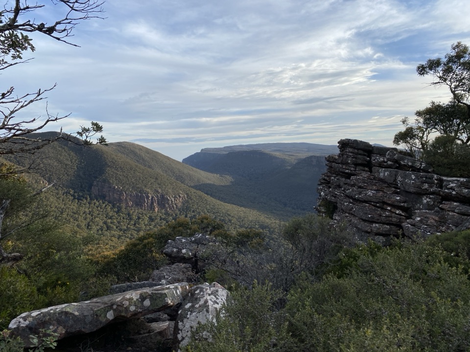
Grampians National Park, VIC
Highest section of the Peaks Trail, then a long forest descent
Overview
Map & elevation
Plan your hike

The highest, rockiest slopes around here are a summer buffet for grizzly bears.
Grampians Tour Guide
Parkwolf is a GPS audio tour guide for Grampians National Park. As you drive, it chimes in with what’s ahead: hidden gems, upcoming stops, history, geology, and wildlife, right through your car’s speakers.
Recorded for this trailhead
Mount William: The Highest View“You're approaching the car park for Mount William, where a steep walk leads to the highest point in the Grampians.”
Plays as you drive up to this trailhead in the Parkwolf Grampians Tour Guide.
More stories near here in the app
“Fantastic app with many points of information… It’s great to just turn on while you’re driving and it gives you an audio tour of the national Park. We love it!!!!”


Trail guide
This is a point-to-point, one-way itinerary of 20.6 km on the Grampians Peaks Trail, walked over two days with one night in the hills. It starts at Mount William Carpark and finishes at Jimmy Creek Campground, so a vehicle shuttle or a licensed transfer between the two ends is required. The official day split is 13.3 km on day one and 7.3 km on day two.
Back on the main trail, the walking drops steadily off the high country through mountain terrain and into taller forest, with mountain views along the way, before reaching the Jimmy Creek Campground access area. Elevation sampling along the route shows plateau walking above 1,000 m and a long, sustained descent that ends near 300 m, so expect most of day two to be downhill on the knees.
Graded 5 and intended only for very experienced, very fit hikers. The practical difficulty rates 9/10. The ground includes steep rocky sections, rockier descents, uneven surfaces, steep steps and slippery rock, with genuine exposure on Mount William and across the Major Mitchell Plateau. Some plateau sections are gentler and use steel walkways. Walker reports commonly find the opening access road easier than the Grade 5 label suggests when the weather is kind, then rate the Boundary Gap descent as rough and steep and the climb out as hard work. Treat that as lived experience rather than a guarantee.
The route is remote and phone coverage is unreliable, so do not rely on it in remote sections. In winter and in wet spells the plateau can become dangerous, with strong wind, driving rain, sleet, low cloud, whiteout conditions and snow risk on the high sections. Snakes are a reported hazard on the route, and falling trees or limbs are a hazard in forested sections. Carry full wet and cold weather gear regardless of the forecast pattern you expect.
Overnight camping on this itinerary must be booked in advance and camping fees apply. Because the walk finishes at Jimmy Creek rather than returning to Mount William Carpark, arrange transport before you start. If you want more time on this part of the range, a separate three-day Duwul and Durd Durd itinerary covers a longer version of the same high country and is booked as its own trip.
Wildlife
 157 sightingsShort-beaked EchidnaMost seen around 6 PMSighting map
 37 sightingsPowerful OwlMost seen around 6 PMSighting map
 59 sightingsWedge-tailed EagleMost seen around 11 AMSighting map
 24 sightingsEastern Brown SnakeMost seen around 11 AMSighting map
 10 sightingsTiger SnakeMost seen around noonSighting map
 29 sightingsRed-bellied Black SnakeMost seen around 11 AMSighting map
Sighting maps show where each species has been reported across Grampians. Wildlife moves, so no sighting is guaranteed.
Keep exploring
ModerateMt William (Duwul) Summit Walk4 km · 1.8 hr · At the trailheadSteep sealed climb to the region's highest point and 360-degree views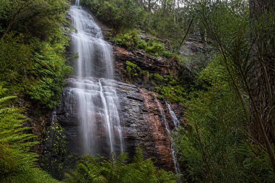 ModerateKalymna Falls Walk3.2 km · 2 hr · 4.7 km awayRocky uphill track to a shaded seasonal waterfall base
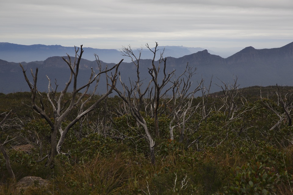 ChallengingMajor Mitchell Plateau Hike41 km · 15 hr · 5.2 km awayThree days of windswept sandstone high country, big views, real navigationChallengingDuwul and Durd Durd 3-day Hike34.7 km · 18 hr · 7.8 km awayThree days over western Victoria's highest peak and an exposed plateau
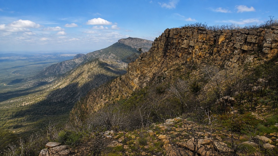 ChallengingDuwul Overnight Hike26 km · 15 hr · 7.8 km awayTwo days over exposed high ridges to a remote hike-in campground
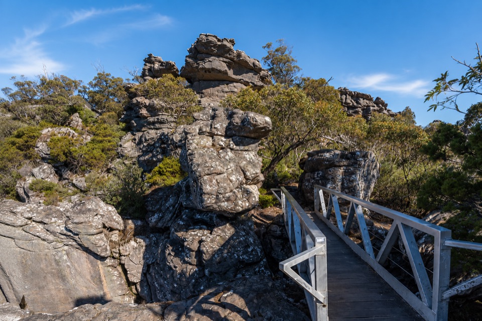 ChallengingMount Rosea from Borough Huts16.1 km · 6.5 hr · 8.5 km awayLong forest climb to a rocky ridge above Lake Bellfield
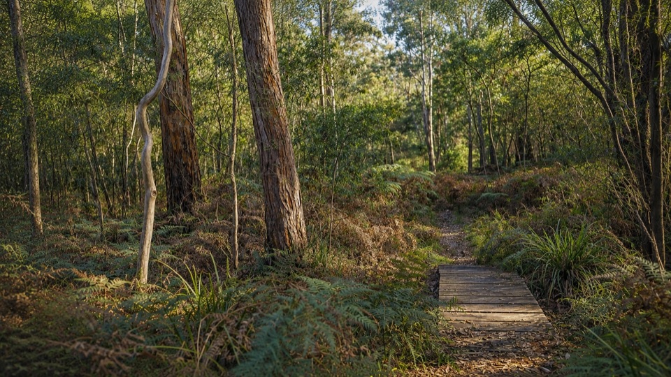 EasyMafeking Brownings Loop Walk2 km · 1 hr · 8.8 km awayGentle 2 km bush circuit past old gold shafts and worked gullies
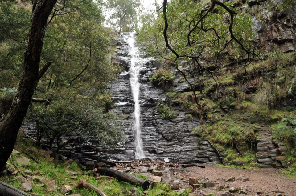 EasySilverband Falls Walk1.6 km · 45 min · 11.4 km awayFerny creekside stroll to a narrow cascade over dark layered rock
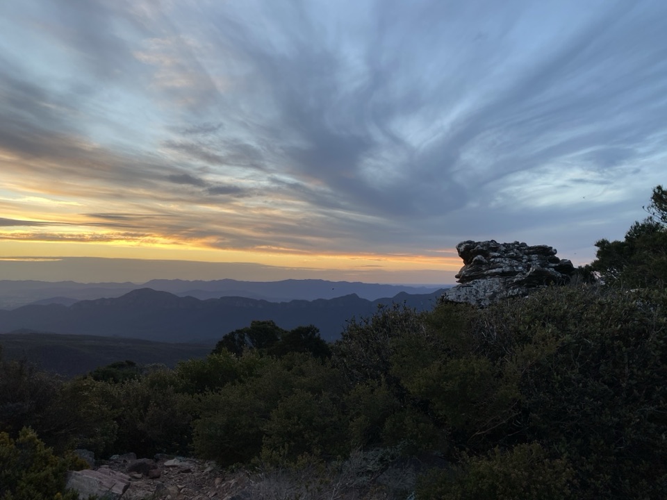 Sight · 0.9 km awayMount William (Duwul)A high, windy summit with sweeping views across rugged rangesSight · 3.8 km awayKalymna FallsA fern-framed cascade that rewards a wet-weather detour
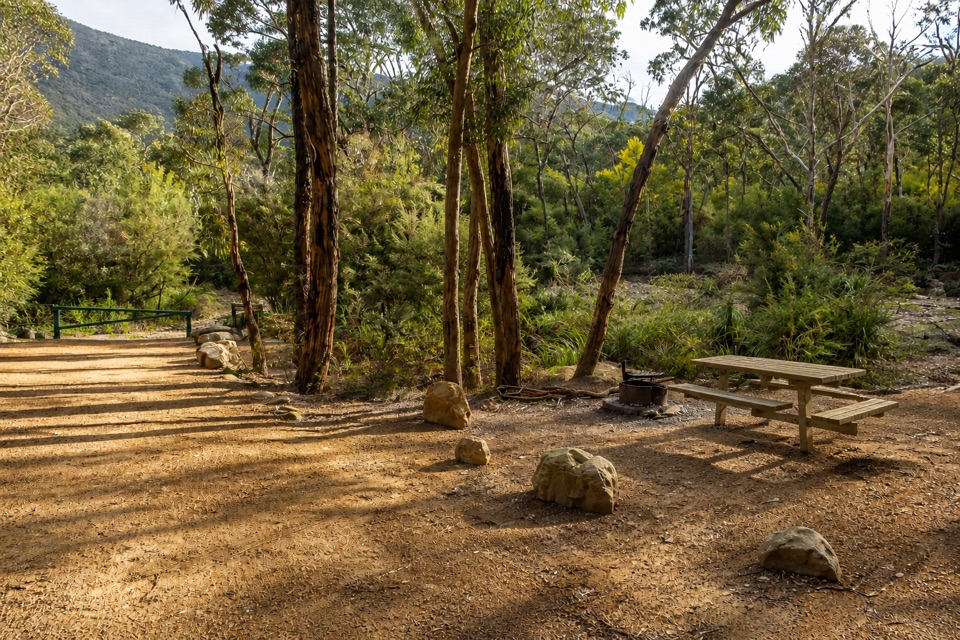 Campground · 4.7 km awayKalymna Falls CampgroundQuiet creekside camping with a seasonal waterfall walk
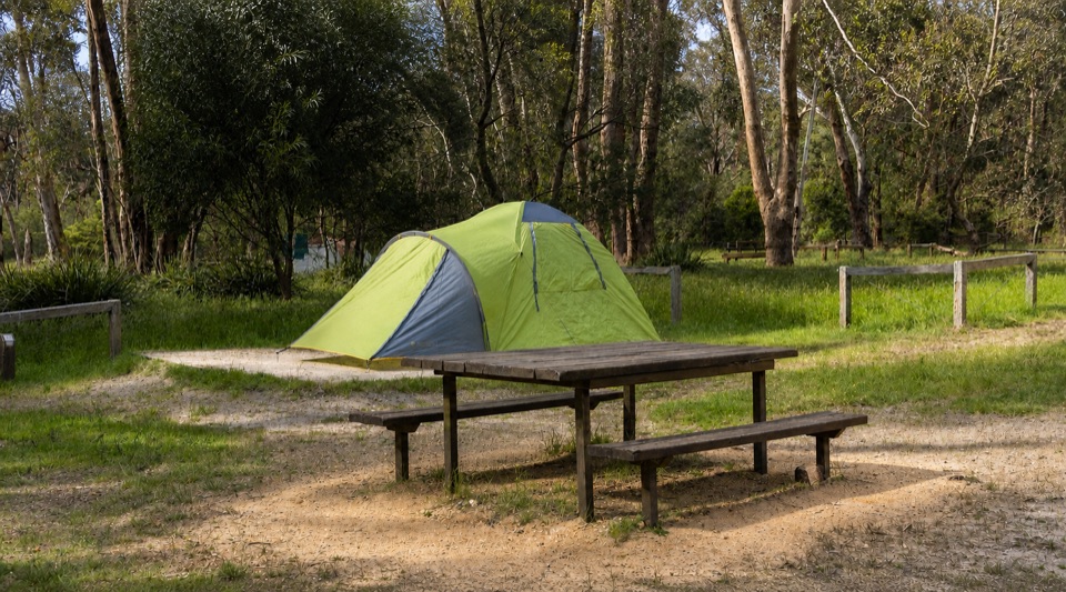 Campground · 8.5 km awayBorough Huts CampgroundQuietly camp beside Fyans Creek, close to Halls Gap and big walksSight · 12.1 km awaySilverband FallsA ferny walk to water that vanishes into the rocky creek bed
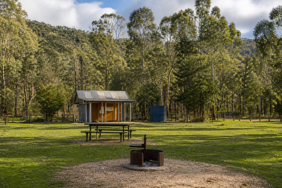 Campground · 12.4 km awayJimmy Creek CampgroundA quiet Wannon River base for bush camping and Teddy Bear Gap
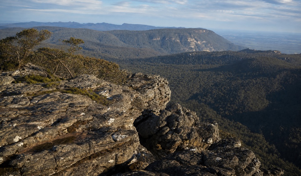 Sight · 12.6 km awayMount Rosea (Bugiga Mirgani)A rugged summit scramble with wide views across the ranges
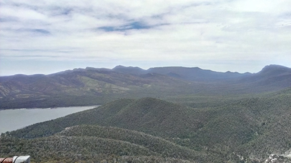 Sight · 13 km awaySundial PeakA quiet summit view over Lake Bellfield and the western ranges
Parkwolf’s Grampians ranking

The audio tour guide for the drive, plus offline maps, trails, and wildlife heatmaps for when the signal drops.





