Pinnacle Lookout in Grampians National Park

#2 of 46 sights in Grampians

Sight · Grampians National Park

Pinnacle Lookout

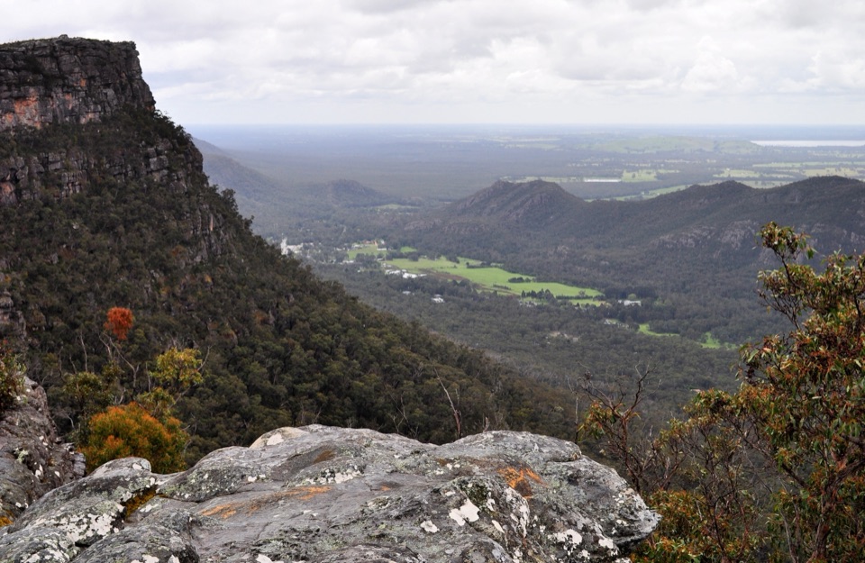
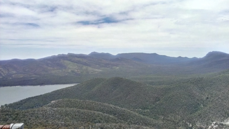
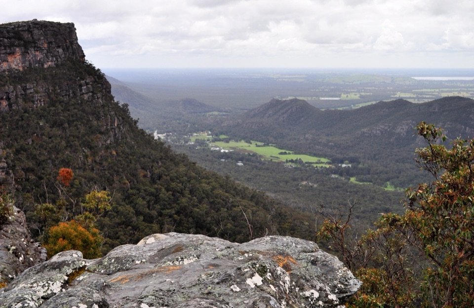
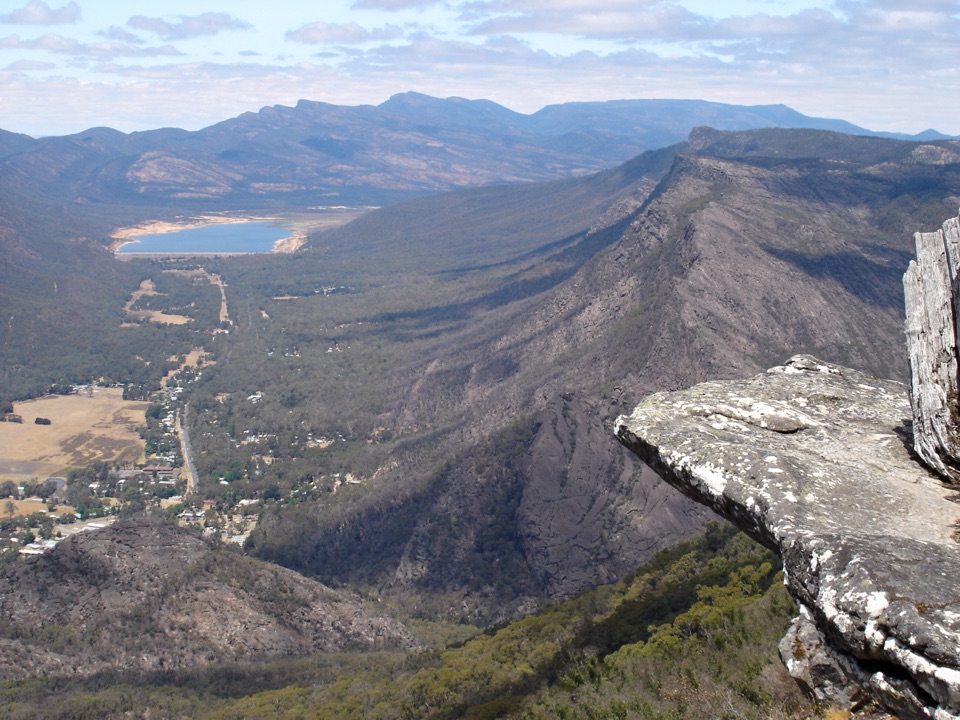
A dramatic rock platform above Halls Gap and Lake Bellfield

Photo: Wikimedia Commons
Type
Sight
Nearest trail
1.3 km
Audio stories
11 nearby
  • Scenic viewpoint

Hear the audio tour

The Pinnacle from Wonderland

Overview

About Pinnacle Lookout

Why stop

  • Huge sandstone views over Halls Gap, Lake Bellfield, and the plains
  • Grand Canyon and Silent Street add real drama to the walk

Heads up

  • Popular routes can feel crowded on summer weekends
  • Steep, uneven rock becomes slippery after rain
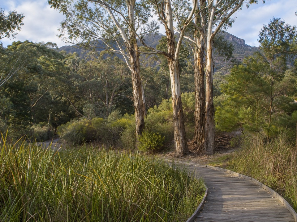
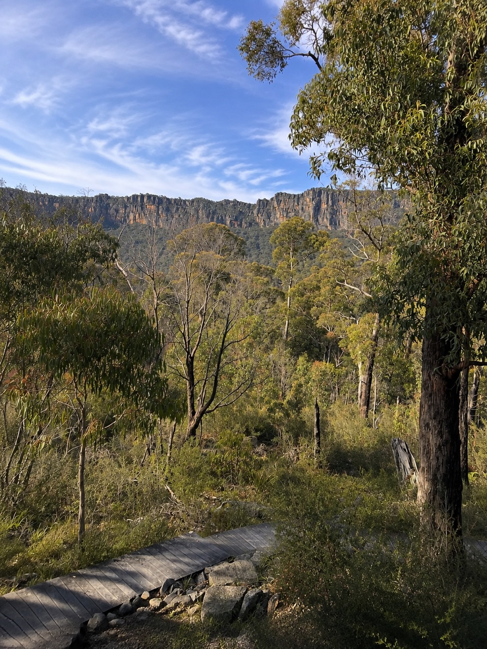
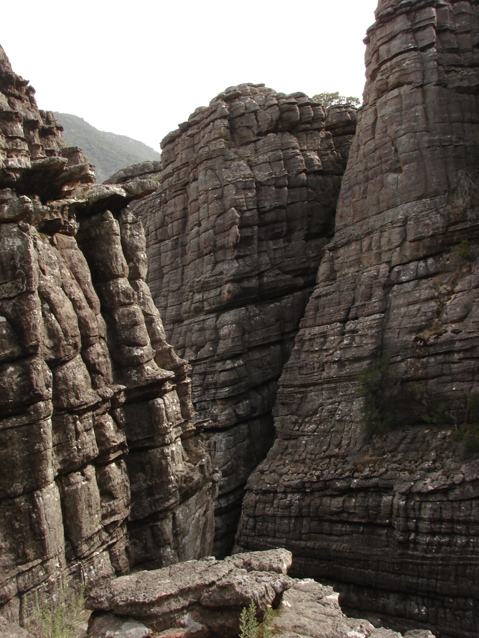
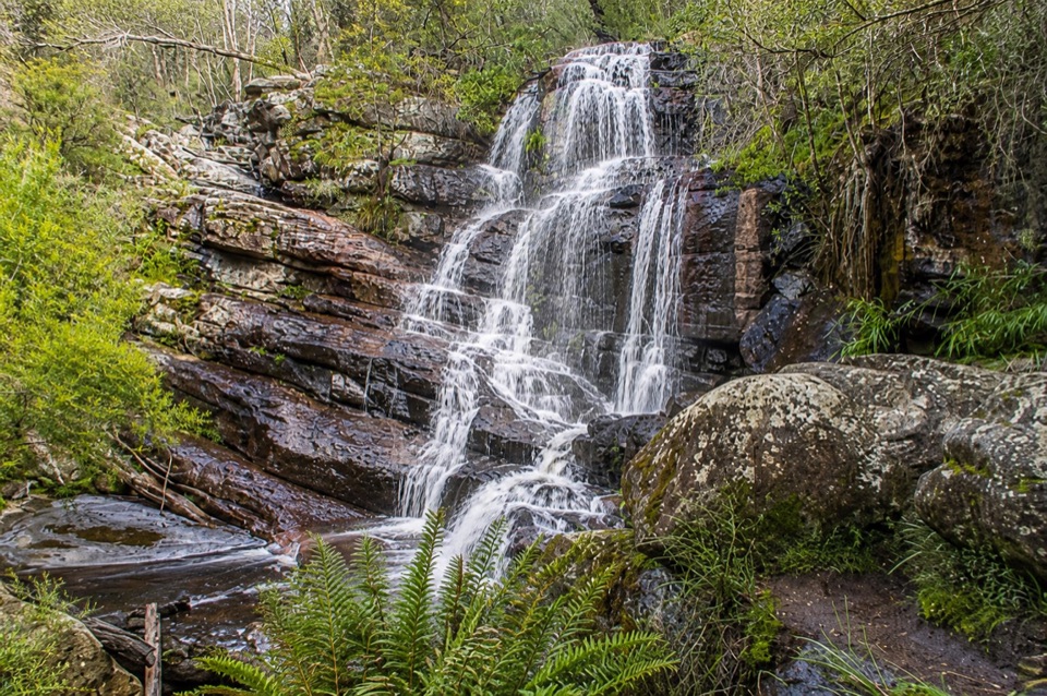
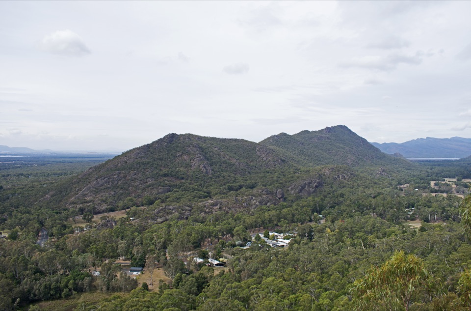
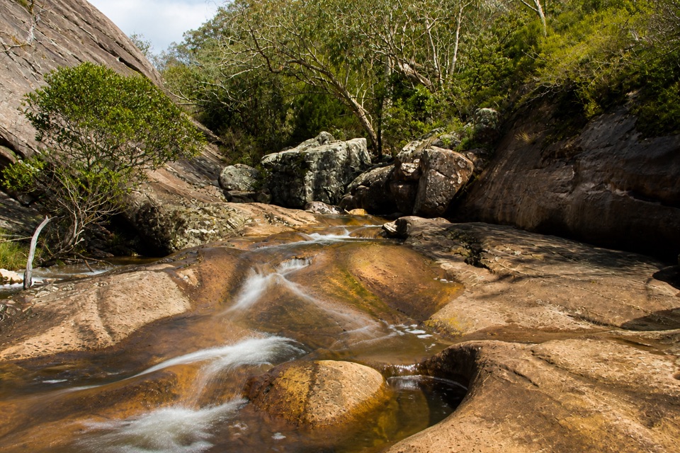
The Pinnacle is the Grampians' classic high lookout: a narrow, fenced rock platform above the valley with broad views toward Halls Gap, Lake Bellfield, the Mount William Range, and the western Victorian plains. The approach is part of the reward. Layered sandstone walls, shady gullies, boulders, and the slot-like Grand Canyon make this feel like a real mountain walk rather than a walk to a sign and a view.
Parkwolf’s verdictWhy stop

Map

Where it is

Loading the Grampians map
Full map
SightPinnacle Lookout-37.16015, 142.51569
Keep this map with you offline in the Parkwolf app

Plan your stop

Before you go

Best time to go

This is one of the park's most popular walks. Start early on summer days and weekends for cooler temperatures, easier parking at the approach carparks, and a better chance of having the viewpoint to yourself. Early or late light is best for photographing the cliffs and valley; allow plenty of time to return before dark if you start near sunrise or sunset.

Wear sturdy shoes and carry water, sun protection, and a warm or waterproof layer. The rocky sections can be slippery after rain, and weather changes quickly on the exposed summit.


5 active Grampians alerts

  • ClosureBushfire-damaged walks and picnic area remain closedThe Fortress, Red Gum, Billimina, Chimney Pots and Brownings Loop walks, plus Mafeking Picnic Area, remain closed because of track or site damage from the 2024/25 summer bushfires.Official details
  • ClosureMackenzie Falls precinct closed during constructionThe Mackenzie Falls (Migunang wirab) Precinct has no vehicle or visitor access during major construction works expected to finish by the end of 2026.Official details
See all 5 alerts
A park ranger sits on a dash-mounted phone, talking, as Parkwolf’s Tour Guide plays “Army Cutworm Moths: A Grizzly Bear Buffet” on Grand Loop Road below Dunraven Pass in Yellowstone
Parkwolf Tour GuideThe highest, rockiest slopes around here are a summer buffet for grizzly bears.

Grampians Tour Guide

Your drive to Pinnacle Lookout, narrated.

Parkwolf is a GPS audio tour guide for Grampians National Park. As you drive, it chimes in with what’s ahead: hidden gems, upcoming stops, history, geology, and wildlife, right through your car’s speakers.

Recorded for this place

The Pinnacle from Wonderland
0:00 / 1:02
“You're approaching the Wonderland starting point for the Pinnacle, where the walk through the rocks is a big part of the attraction.”

Plays as you drive up to Pinnacle Lookout in the Parkwolf Grampians Tour Guide.

More stories near here in the app

  • Lakeview Lookout from Sundial
  • Brambuk: Wildlife and Wetland Walks
  • Boronia Peak: A Quieter Summit
  • The Robin on the Tree Trunk
  • 233 audio storiesacross Grampians’s roads, triggered by GPS as you drive
  • Wildlife heatmapsfor Short-beaked Echidna, Powerful Owl, Wedge-tailed Eagle, and 13 more
  • Works offlinemaps, 81 trails, 62 places, and audio download before you lose signal
  • CarPlay readysimple controls built for the drive
★★★★★
“Fantastic app with many points of information… It’s great to just turn on while you’re driving and it gives you an audio tour of the national Park. We love it!!!!”
JMJamesApp Store review
Download Parkwolf on the App StoreGet Parkwolf on Google Play

4.7 from 8,600+ ratings

Guide

More about Pinnacle Lookout

Pick your routeThere are three practical ways to reach the lookout:

There are three practical ways to reach the lookout:

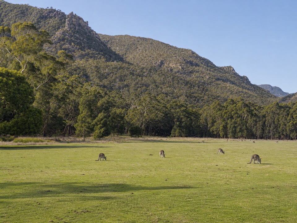
The lookout itself is the destination, but do not rush the walk. Watch for kangaroos, wallabies, skinks, echidnas, and the occasional koala in the wider park, especially in quieter parts of the day. Spring adds wildflowers to the recovering bushland.

  • Sundial Carpark: the easiest option, via Devils Gap. Allow about 4.2 km return and roughly 1.5 to 2 hours. Expect water crossings and rock-hopping.
  • Wonderland Carpark: the more interesting, more demanding approach, through the Grand Canyon and Silent Street. It is about 2.1 km each way, with steep, rocky sections.
  • Halls Gap: an extended walk from near the village, about 9.6 km return and around five hours for fit, experienced walkers.
SafetyFollow the marked route, stay behind fences and away from unprotected cliff edges, and take…

Follow the marked route, stay behind fences and away from unprotected cliff edges, and take particular care on steep, uneven, or wet rock. The track is not a casual stroll even from the shorter carpark approaches. Check park warnings before setting out, as access and track conditions can change.

Wildlife

Wildlife in Grampians

All Grampians wildlife maps

Sighting maps show where each species has been reported across Grampians. Wildlife moves, so no sighting is guaranteed.

Keep exploring

Near Pinnacle Lookout

See it all on the map

Trails nearby

More stops nearby

Parkwolf’s Grampians ranking

Top sights in Grampians

All 62 places
  1. 1MacKenzie Falls (Migunang wirab)Sight
  2. 3Boroka LookoutSight
  3. 4Reeds LookoutSight
  4. 5The BalconiesSight
  5. 6Mount William (Duwul)Sight
  6. 7Venus BathsSight

Take Parkwolf to Grampians.

The audio tour guide for the drive, plus offline maps, trails, and wildlife heatmaps for when the signal drops.

4.7 from 8,600+ ratings

Download Parkwolf on the App StoreGet Parkwolf on Google Play