Parking
Park at the named Mount William Carpark on Mount William Road; the walk starts from the lot and follows the sealed road uphill.
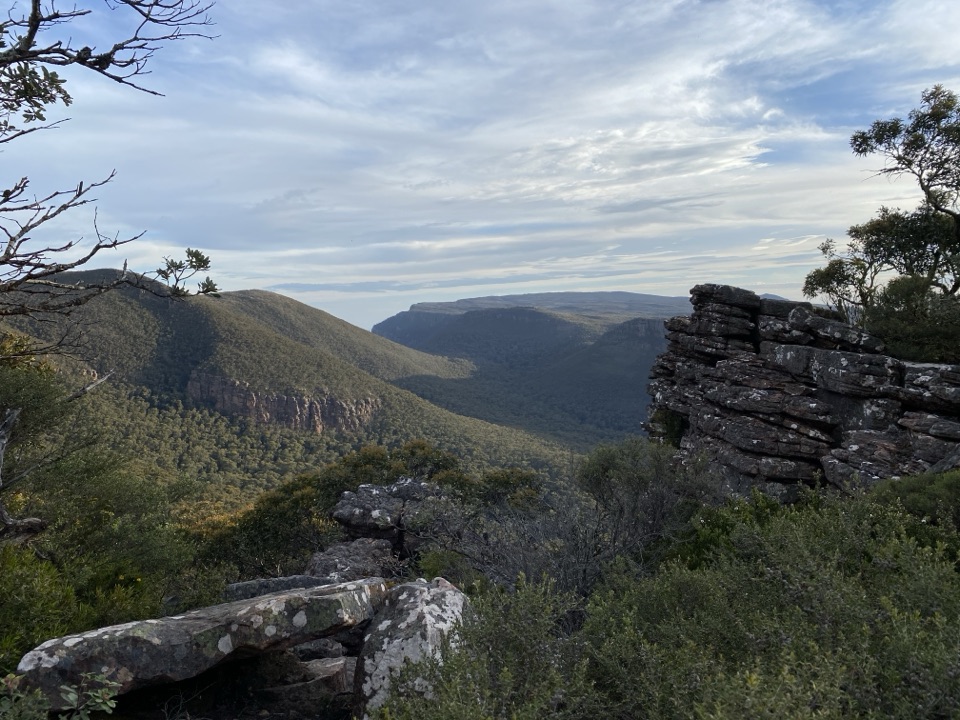
Grampians National Park, VIC
Steep sealed climb to the region's highest point and 360-degree views
Overview
Map & elevation
Plan your hike

The highest, rockiest slopes around here are a summer buffet for grizzly bears.
Grampians Tour Guide
Parkwolf is a GPS audio tour guide for Grampians National Park. As you drive, it chimes in with what’s ahead: hidden gems, upcoming stops, history, geology, and wildlife, right through your car’s speakers.
Recorded for this trailhead
Mount William: The Highest View“You're approaching the car park for Mount William, where a steep walk leads to the highest point in the Grampians.”
Plays as you drive up to this trailhead in the Parkwolf Grampians Tour Guide.
More stories near here in the app
“Fantastic app with many points of information… It’s great to just turn on while you’re driving and it gives you an audio tour of the national Park. We love it!!!!”


Trail guide
An out-and-back walk from Mount William Carpark to the summit of Mount William (Duwul), the highest point in the Grampians. Count on about 4 km return (2.5 miles) and 1.5 to 2 hours, following the sealed Mount William Road/Track up and returning the same way. Navigation is simple: one continuous paved corridor, no junctions to puzzle over.
Rated moderate, and the short distance is deceptive. The surface is bitumen the whole way, with no scrambling, but also a sustained gradient with nowhere to break the rhythm.
Stunted eucalypts thin out as you gain height and open into 360-degree views over jagged ranges, surrounding peaks, plains and distant towns. Be aware that the summit is a working site as well as a lookout: transmission towers, an aviation communications facility and a Major Thomas Mitchell commemorative monument share the top. Some walkers find this makes the summit feel less natural than the panorama deserves, so it is worth knowing before you set out. The reward here is the height and the sweep of the view, not a wild summit.
This is a service road, and durable hazards on it are worth respecting: a steep track, unstable cliff edges away from the road, rock that can be slippery when wet, and falling limbs or trees in the wooded lower section. Management vehicles may use the road. The upper slopes and summit are open and exposed to wind, so a windproof layer is worth carrying.
Start at the named Mount William Carpark, which sits right at the beginning of the route. There are no facilities at the carpark or the summit, including no drinking water and no toilets, so bring all the water you need for the climb and the descent. Dogs are not allowed; assistance dogs are subject to separate entry requirements. Camping, fires, generators, firearms and horses are not permitted.
The Pinnacle walks cover a similar 4.2 km return in a similar 1.5 to 2 hours, but with water crossings, rock-hopping and dramatic rock formations. Choose The Pinnacle for varied natural footing and close-up rock scenery. Choose Mt William (Duwul) for the highest summit in the Grampians and the broadest panorama, reached by a straightforward if demanding road climb.
Wildlife
 157 sightingsShort-beaked EchidnaMost seen around 6 PMSighting map
 37 sightingsPowerful OwlMost seen around 6 PMSighting map
 59 sightingsWedge-tailed EagleMost seen around 11 AMSighting map
 24 sightingsEastern Brown SnakeMost seen around 11 AMSighting map
 10 sightingsTiger SnakeMost seen around noonSighting map
 29 sightingsRed-bellied Black SnakeMost seen around 11 AMSighting map
Sighting maps show where each species has been reported across Grampians. Wildlife moves, so no sighting is guaranteed.
Keep exploring
ChallengingDurd Durd Overnight Hike20.6 km · 13 hr · At the trailheadHighest section of the Peaks Trail, then a long forest descent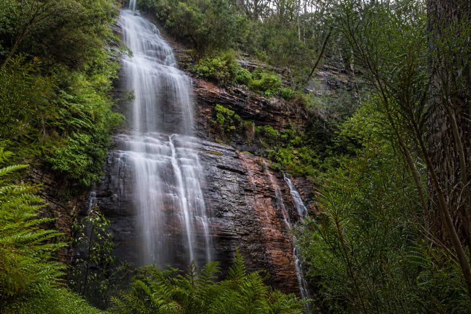 ModerateKalymna Falls Walk3.2 km · 2 hr · 4.7 km awayRocky uphill track to a shaded seasonal waterfall base
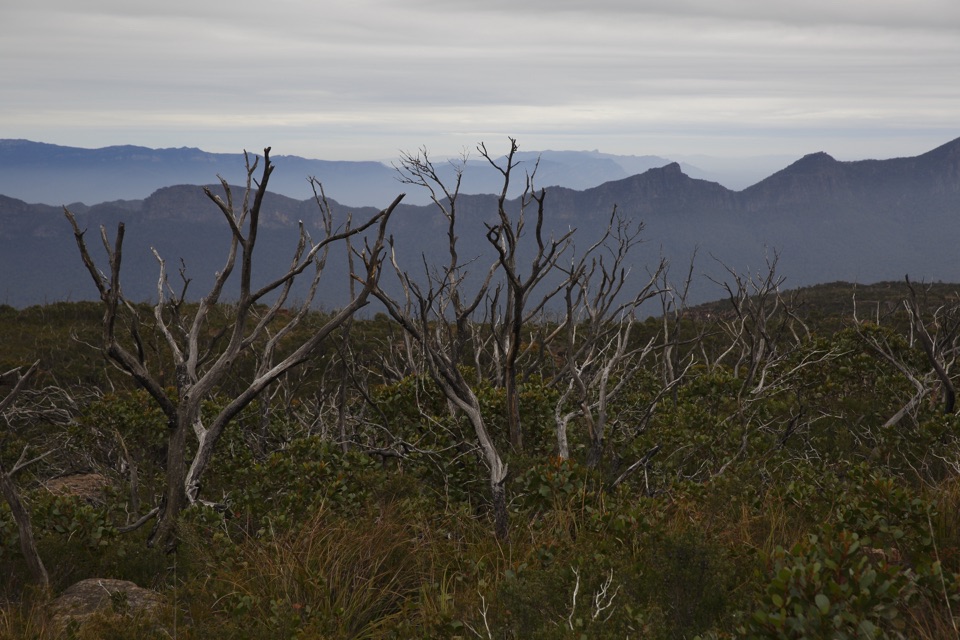 ChallengingMajor Mitchell Plateau Hike41 km · 15 hr · 5.2 km awayThree days of windswept sandstone high country, big views, real navigationChallengingDuwul and Durd Durd 3-day Hike34.7 km · 18 hr · 7.8 km awayThree days over western Victoria's highest peak and an exposed plateau
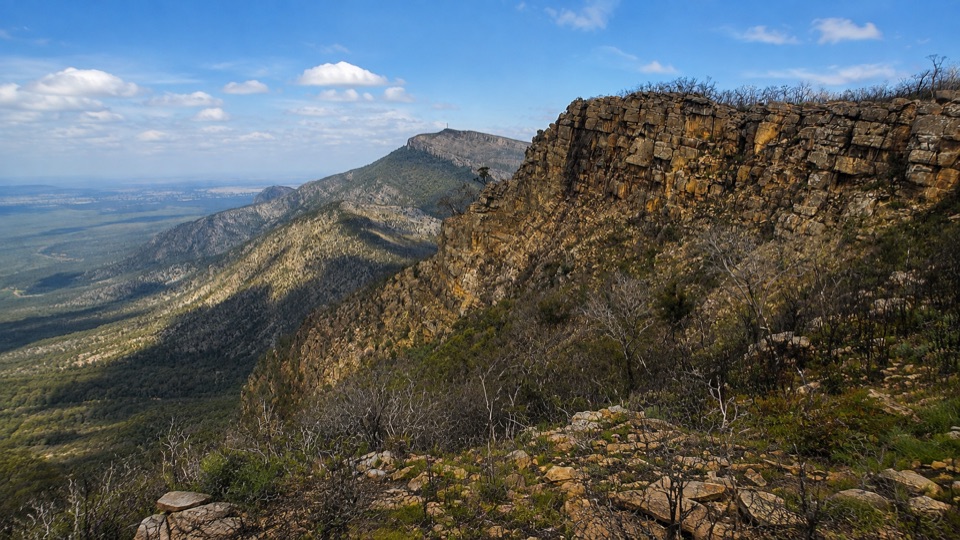 ChallengingDuwul Overnight Hike26 km · 15 hr · 7.8 km awayTwo days over exposed high ridges to a remote hike-in campground
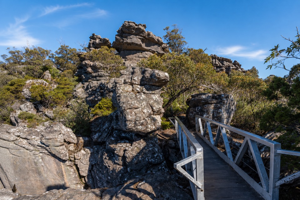 ChallengingMount Rosea from Borough Huts16.1 km · 6.5 hr · 8.5 km awayLong forest climb to a rocky ridge above Lake Bellfield
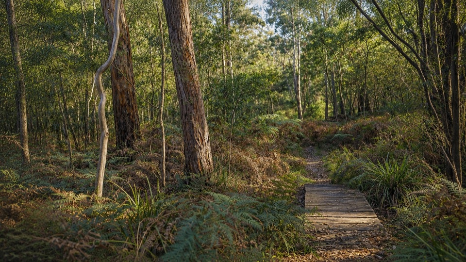 EasyMafeking Brownings Loop Walk2 km · 1 hr · 8.8 km awayGentle 2 km bush circuit past old gold shafts and worked gullies
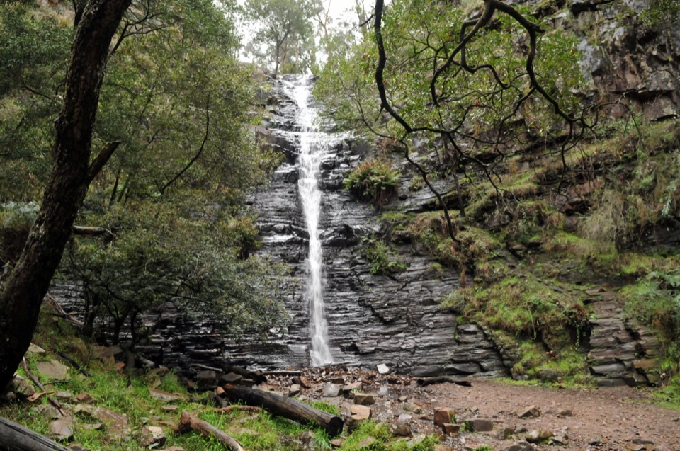 EasySilverband Falls Walk1.6 km · 45 min · 11.4 km awayFerny creekside stroll to a narrow cascade over dark layered rock
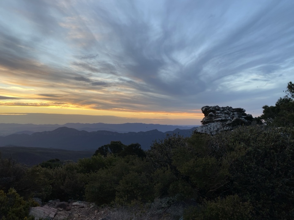 Sight · 0.9 km awayMount William (Duwul)A high, windy summit with sweeping views across rugged rangesSight · 3.8 km awayKalymna FallsA fern-framed cascade that rewards a wet-weather detour
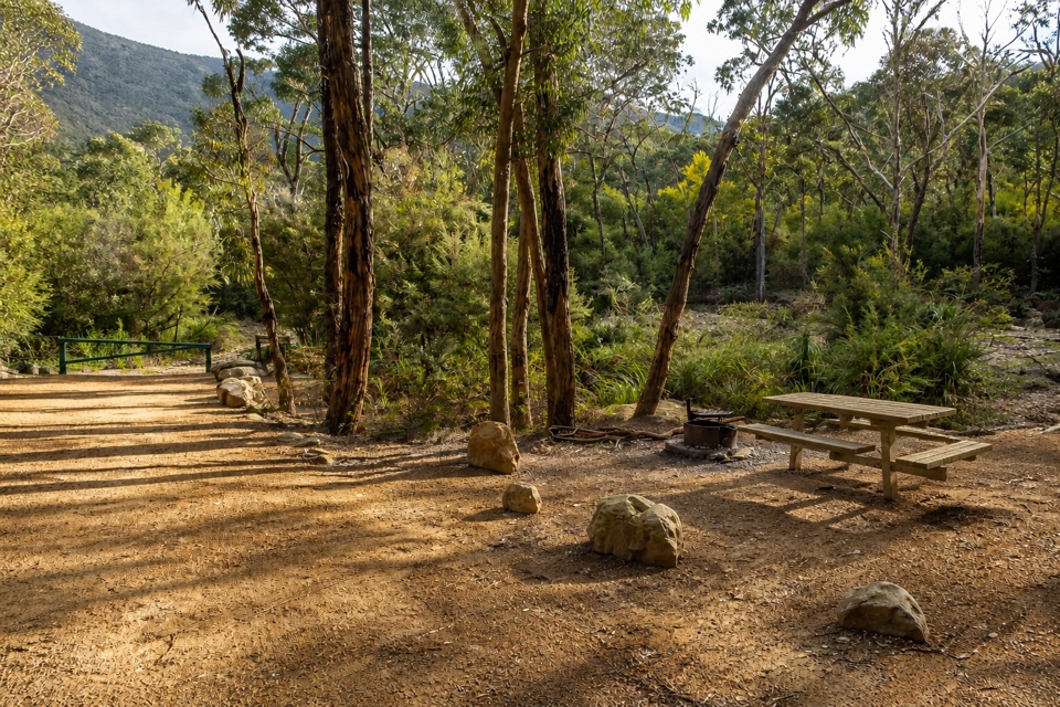 Campground · 4.7 km awayKalymna Falls CampgroundQuiet creekside camping with a seasonal waterfall walk
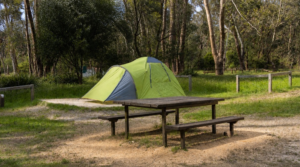 Campground · 8.5 km awayBorough Huts CampgroundQuietly camp beside Fyans Creek, close to Halls Gap and big walksSight · 12.1 km awaySilverband FallsA ferny walk to water that vanishes into the rocky creek bed
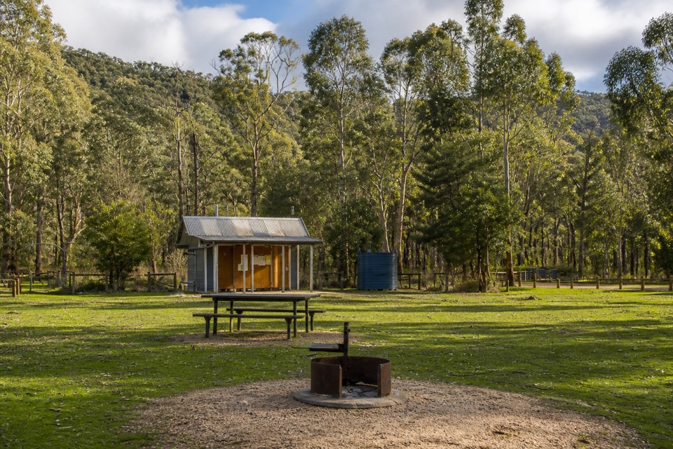 Campground · 12.4 km awayJimmy Creek CampgroundA quiet Wannon River base for bush camping and Teddy Bear Gap
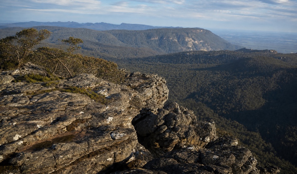 Sight · 12.6 km awayMount Rosea (Bugiga Mirgani)A rugged summit scramble with wide views across the ranges
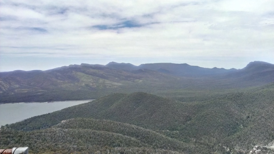 Sight · 13 km awaySundial PeakA quiet summit view over Lake Bellfield and the western ranges
Parkwolf’s Grampians ranking

The audio tour guide for the drive, plus offline maps, trails, and wildlife heatmaps for when the signal drops.





