Parking
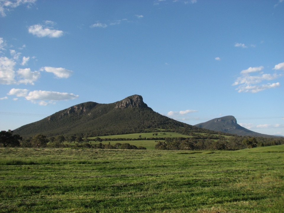
Mount Sturgeon Walk Carpark is at the Grampians Road and Victoria Valley Road intersection just outside Dunkeld. The approach is bitumen and suitable for 2WD; the car park is small.
Grampians National Park, VIC
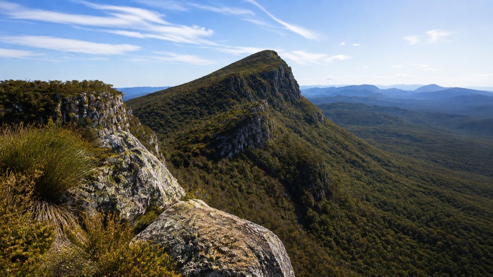
Steep rocky climb to a wind-shaped summit above Dunkeld
Overview
Map & elevation
Plan your hike

The highest, rockiest slopes around here are a summer buffet for grizzly bears.
Grampians Tour Guide
Parkwolf is a GPS audio tour guide for Grampians National Park. As you drive, it chimes in with what’s ahead: hidden gems, upcoming stops, history, geology, and wildlife, right through your car’s speakers.
Recorded for this trailhead
Mount Sturgeon: Beyond the False Summit“Mount Sturgeon's walking car park is coming up, and there's one useful detail to know before tackling the climb: the first apparent summit isn't the finish.”
Plays as you drive up to this trailhead in the Parkwolf Grampians Tour Guide.
More stories near here in the app
“Fantastic app with many points of information… It’s great to just turn on while you’re driving and it gives you an audio tour of the national Park. We love it!!!!”


Trail guide
This is an out-and-back walk, 7 km return, climbing from the Mount Sturgeon Walk Carpark to the true summit of Mount Sturgeon (Wurgarri) and coming back down the same track. Allow about 3 hours. It is graded strenuous, and a fair independent read is hard, around 8 out of 10. Distance figures vary slightly between measurements, with an exact track measure closer to 6.5 km return, so treat 7 km as the working number.
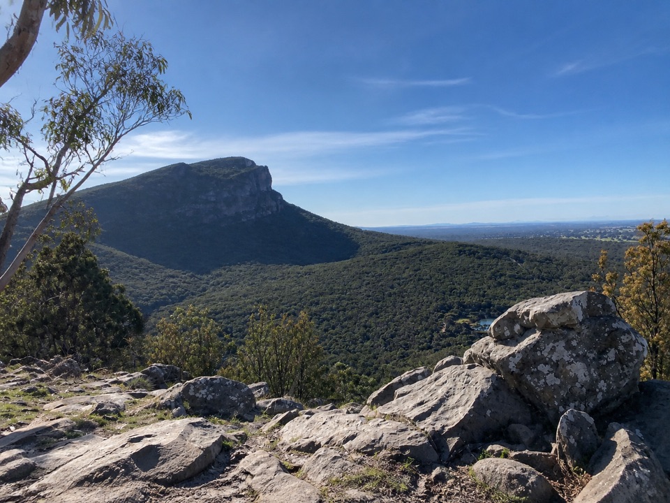
The lower slopes run through open woodland with scattered eucalypts and native shrubs, on a dirt path that starts climbing early and keeps at it. Ground gets rougher and rockier as you gain height, and the vegetation drops away into lower, wind-shaped cover. Around two thirds of the way up a false summit appears, which fools plenty of people, then a final rise takes you to the real high point. From up there the views open out over the surrounding ranges, the low-lying volcanic plains and Dunkeld, with the jagged profile of Mount Abrupt close by.
The climb is sustained rather than technical, but it asks for good fitness and confidence on uneven ground. Sources differ on the total ascent, with roughly 375 m quoted for the full climb, and it feels like it. Walkers regularly report the rock and path being slippery, and more than a few say hiking poles earned their keep. The track itself is generally well maintained. The upper section is open and exposed, so wind and sun both hit harder up there than they do in the woodland below. Park warnings for this area cover unstable cliffs, slippery rocks, and trees and limbs that may fall, so stay on the track and keep back from cliff edges near the top.
Weathered rocky outcrops and exposed sandstone-like ledges show up along the ascent and make good rest stops. Look for the Grampians Gum, a tree with a restricted natural range that grows on this walk. Nearer the summit the plants are stunted and low, shaped by the exposure.
The trailhead is the Mount Sturgeon Walk Carpark at Grampians Road and Victoria Valley Road, just outside Dunkeld. The approach is bitumen and fine for 2WD, and the car park is small, so an early arrival helps. The track start is a short step from the parking area. Ordinary dogs are not allowed on this walk; assistance dogs are handled under separate requirements. Camping, fires, vehicles, horses, generators and bicycles are all off limits here.
It is a straight up and straight back walk, so the scenery repeats on the way down and the reward is concentrated at the top. The false summit is a genuine morale dent. If you dislike steep, loose or slippery footing, or want a gentler grade with the same kind of view, this is not the walk to pick.
Wildlife
 157 sightingsShort-beaked EchidnaMost seen around 6 PMSighting map
 37 sightingsPowerful OwlMost seen around 6 PMSighting map
 59 sightingsWedge-tailed EagleMost seen around 11 AMSighting map
 24 sightingsEastern Brown SnakeMost seen around 11 AMSighting map
 10 sightingsTiger SnakeMost seen around noonSighting map
 29 sightingsRed-bellied Black SnakeMost seen around 11 AMSighting map
Sighting maps show where each species has been reported across Grampians. Wildlife moves, so no sighting is guaranteed.
Keep exploring
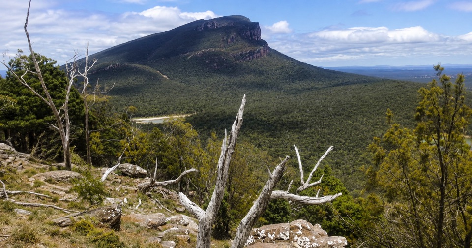 ModerateThe Piccaninny (Bainggug) Walk2.4 km · 1.3 hr · 1.4 km awayShort woodland climb to summit views over Dunkeld and Mud-dadjug
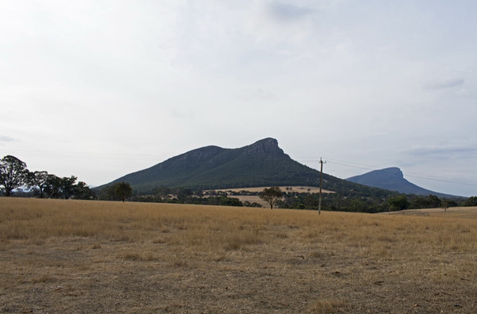 EasyDunkeld to Mount Sturgeon Discovery Trail3.1 km · 48 min · 2.3 km awayGentle 3 km town path ending beneath Mount Sturgeon and Mount Abrupt
 ChallengingMt Abrupt (Mud-dadjug) Walk6.5 km · 3 hr · 4.9 km awayA steep sandstone climb to ridge-top views over the Serra Range
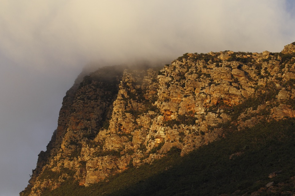 ChallengingSignal Peak Walk7.8 km · 3.5 hr · 4.9 km awayRock-hopping climb beneath a sandstone escarpment to Serra Range viewsChallengingMud-Dadjug Overnight Hike22.1 km · 17 hr · 7.5 km awayRidge summits, a hike-in camp, then Red Gum woodland into Dunkeld
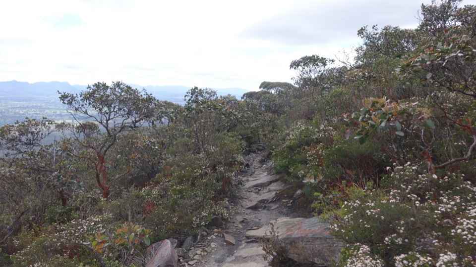 ChallengingDjardji-djawara and Mud-dadjug 3-day Hike33.4 km · 18 hr · 15.4 km awaySkyline traverse over Signal Peak and Mt Abrupt, finishing in Dunkeld
Parkwolf’s Grampians ranking

The audio tour guide for the drive, plus offline maps, trails, and wildlife heatmaps for when the signal drops.