Parking
Park at Griffin Picnic Area, the practical northern access for the itinerary. The walk finishes in Dunkeld, so arrange a car shuffle or pickup before starting.
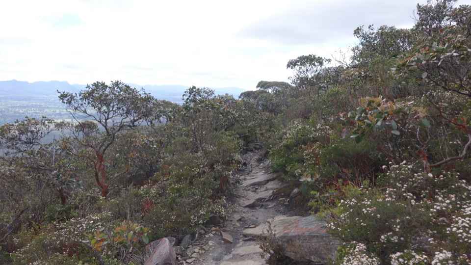
Grampians National Park, VIC
Skyline traverse over Signal Peak and Mt Abrupt, finishing in Dunkeld
Overview
Map & elevation
Plan your hike

The highest, rockiest slopes around here are a summer buffet for grizzly bears.
Grampians Tour Guide
Parkwolf is a GPS audio tour guide for Grampians National Park. As you drive, it chimes in with what’s ahead: hidden gems, upcoming stops, history, geology, and wildlife, right through your car’s speakers.
Recorded for this trailhead
Griffin: Three Days to Dunkeld“Ahead is the access toward Griffin Picnic Area, a starting point for a three-day walk to Dunkeld on the Grampians Peaks Trail.”
Plays as you drive up to this trailhead in the Parkwolf Grampians Tour Guide.
More stories near here in the app
“Fantastic app with many points of information… It’s great to just turn on while you’re driving and it gives you an audio tour of the national Park. We love it!!!!”


Trail guide
This is the final southern section of the Grampians Peaks Trail, walked point to point from Griffin Trailhead (Griffin Picnic Area access) to Dunkeld over three days and two nights. The official at a glance distance is 33.4 km, which is the figure to plan around. The published daily stages add to 33.6 km because each day is rounded, and the mapped corridor measures a little over 34.5 km, so treat anything from roughly 33 to 35 km as the same walk rather than a discrepancy.
Short daily distances are misleading here. Steep ground and rough surfaces mean the days take far longer than the kilometre count suggests, and Day 3 combines two summits with a long descent.
The official track grade is Grade 4, meaning bushwalking experience is recommended, tracks can be long, rough and very steep, and directional signage may be limited. Expect rock steps, boulder jumbles, uneven surfaces, small cliffs and ledges, sustained climbs and descents, and long stretches of exposed ridgeline. Weather changes fast on open high ground, and there is no easy shelter between camps. Mobile coverage is unavailable across many parts of the route, though higher ground sometimes has service. Carry all your food and enough water for both drinking and cooking.
The traverse follows the Southern Grampians skyline through the Serra and Victoria Ranges, with stunted eucalypt forest on the tops and old growth red gums lower down. Views open west to the Victoria Range and south across the volcanic plains. From Mt Sturgeon you look out over those plains and the southern Grampians, while the northern view runs back into the sedimentary sandstone country of Gariwerd. The best light for photography is early and late from the summits and saddles, which is one argument for camping high rather than rushing the middle day.
Both nights are at dedicated remote hike-in campgrounds with tent platforms or granite pads, communal meal areas, basic toilets and water collection points.
Use Griffin Picnic Area as the practical parking and access point at the northern end, reached by the roads described on the official park page. Because the walk finishes in Dunkeld, every itinerary needs a car shuffle between the two ends. Walkers with a single vehicle can arrange pickup or walk-out options through Brambuk. Sort this out before you start, since there is no shortcut back to the trailhead once you commit.
Ordinary dogs are not allowed on the trail or at the campgrounds; assistance dogs are subject to separate entry requirements. If three days with a full pack is more than you want, the day walks up Signal Peak or Mt Abrupt cover some of the same rocky summit country in a few hours from the Dunkeld end. They are a genuinely different outing though, with none of the multi-day commitment, camp logistics or the continuous skyline traverse. This itinerary suits walkers who want the full point to point crossing, two nights out and a finish on foot into Dunkeld.
Wildlife
 157 sightingsShort-beaked EchidnaMost seen around 6 PMSighting map
 37 sightingsPowerful OwlMost seen around 6 PMSighting map
 59 sightingsWedge-tailed EagleMost seen around 11 AMSighting map
 24 sightingsEastern Brown SnakeMost seen around 11 AMSighting map
 10 sightingsTiger SnakeMost seen around noonSighting map
 29 sightingsRed-bellied Black SnakeMost seen around 11 AMSighting map
Sighting maps show where each species has been reported across Grampians. Wildlife moves, so no sighting is guaranteed.
Keep exploring
 ChallengingMud-Dadjug Overnight Hike22.1 km · 17 hr · 7.9 km awayRidge summits, a hike-in camp, then Red Gum woodland into Dunkeld
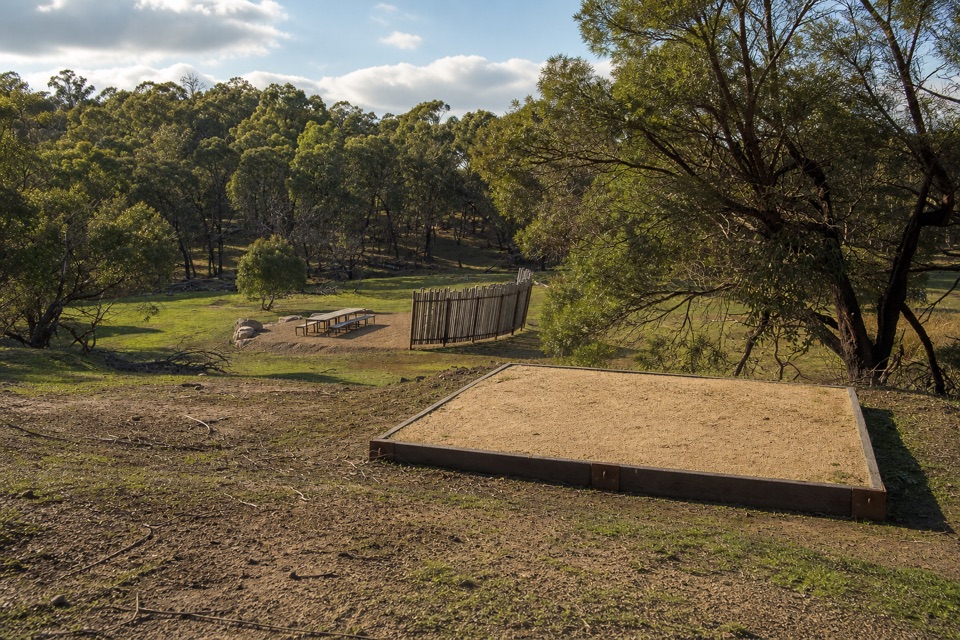 ChallengingWannon Overnight Hike12.1 km · 7 hr · 9.1 km awaySix knolls, wetland edges, and one night in a quiet grassy gullyChallengingMt Abrupt (Mud-dadjug) Walk6.5 km · 3 hr · 10.6 km awayA steep sandstone climb to ridge-top views over the Serra Range
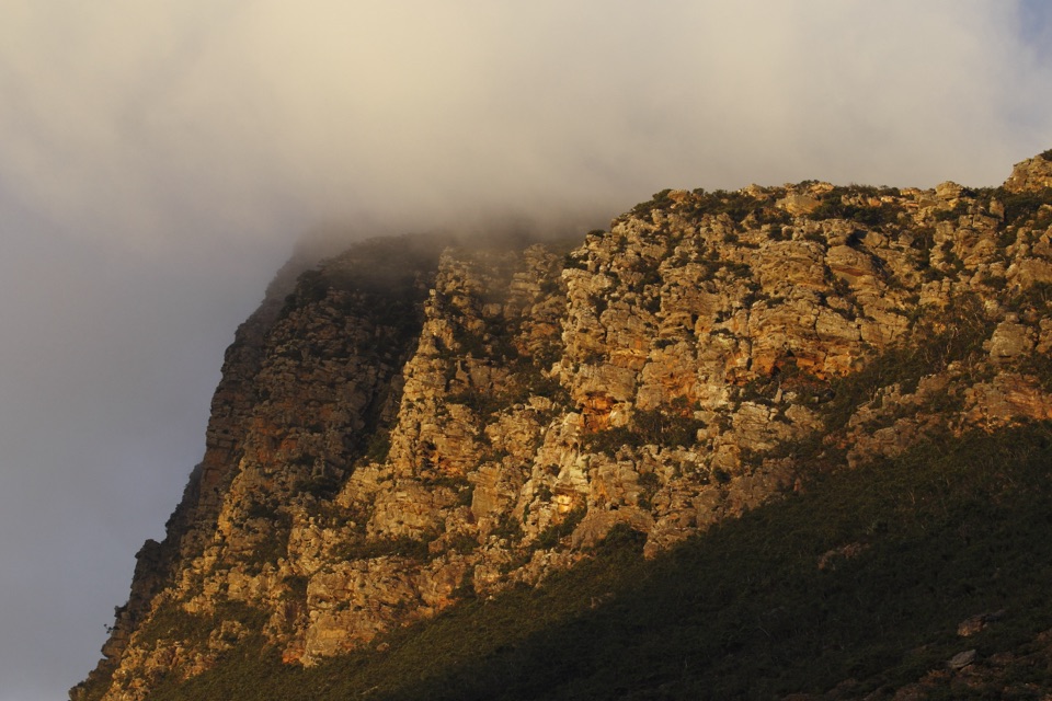 ChallengingSignal Peak Walk7.8 km · 3.5 hr · 10.6 km awayRock-hopping climb beneath a sandstone escarpment to Serra Range views
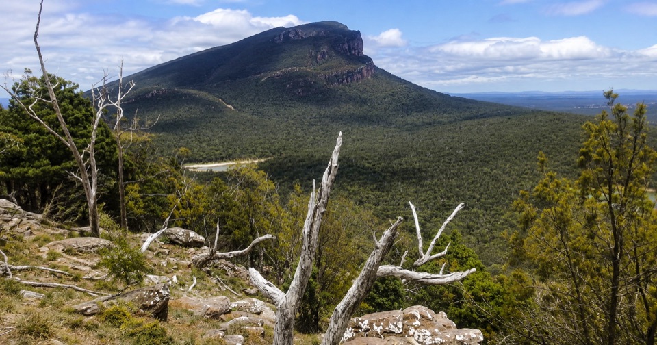 ModerateThe Piccaninny (Bainggug) Walk2.4 km · 1.3 hr · 14 km awayShort woodland climb to summit views over Dunkeld and Mud-dadjug
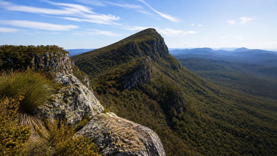 ChallengingMt Sturgeon (Wurgarri) Walk7 km · 3 hr · 15.4 km awaySteep rocky climb to a wind-shaped summit above Dunkeld
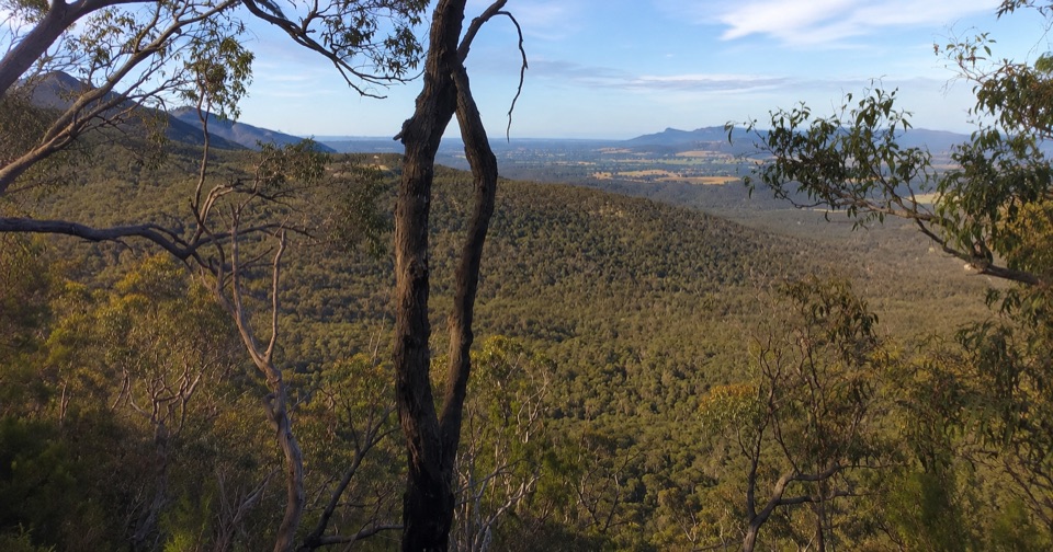 ModerateTeddy Bear Gap Loop Walk7.4 km · 2.5 hr · 16.9 km awayClimb to Serra Range views, then quiet gravel roads back to camp
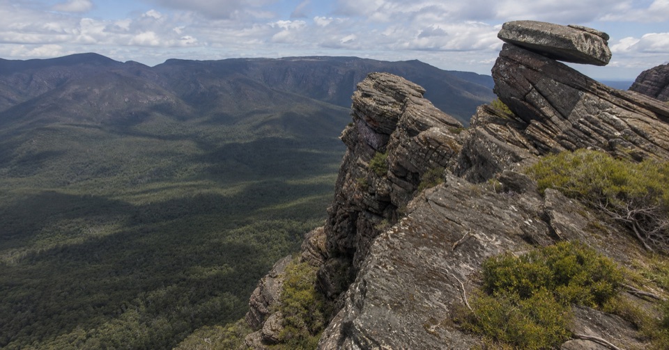 ChallengingYarram-Wannon Multi-day Hike24 km · 12 hr · 16.9 km awayThree days over six knolls to Serra Range views and hike-in camps
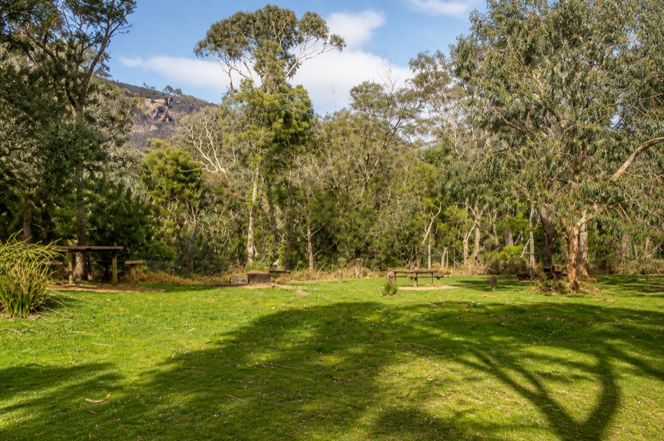 Campground · 9.7 km awayWannon Crossing CampgroundA quiet riverside camp beneath eucalyptus and mountain views
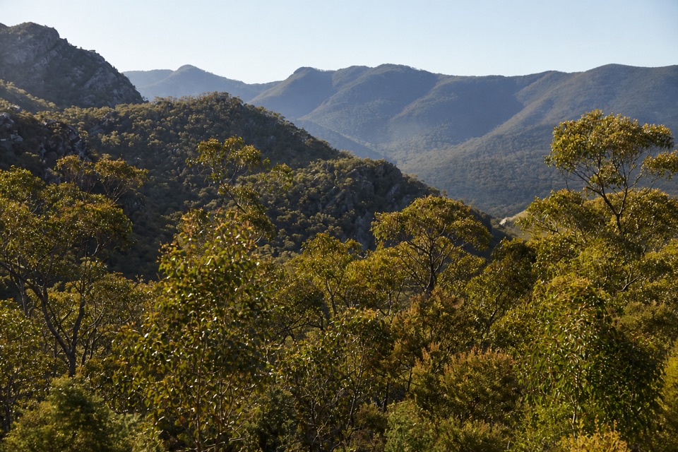 Scenic pullout · 9.8 km awayMirranatwa Gap LookoutA quick roadside view across rugged southern rangesSight · 11.5 km awayMount Abrupt (Mud-dadjug)A steep climb to vast Serra Range and Dunkeld views
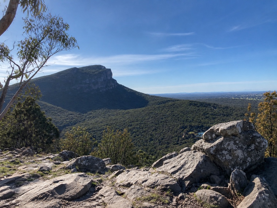 Sight · 14.4 km awayThe Piccaninny (Bainggug)A short summit walk with a huge view of Mount Abrupt
Parkwolf’s Grampians ranking

The audio tour guide for the drive, plus offline maps, trails, and wildlife heatmaps for when the signal drops.




