Parking
Reed Lookout Carpark on Balconies Road; the signed track starts from the carpark.

#6 of 81 trails in Grampians
Grampians National Park, VIC
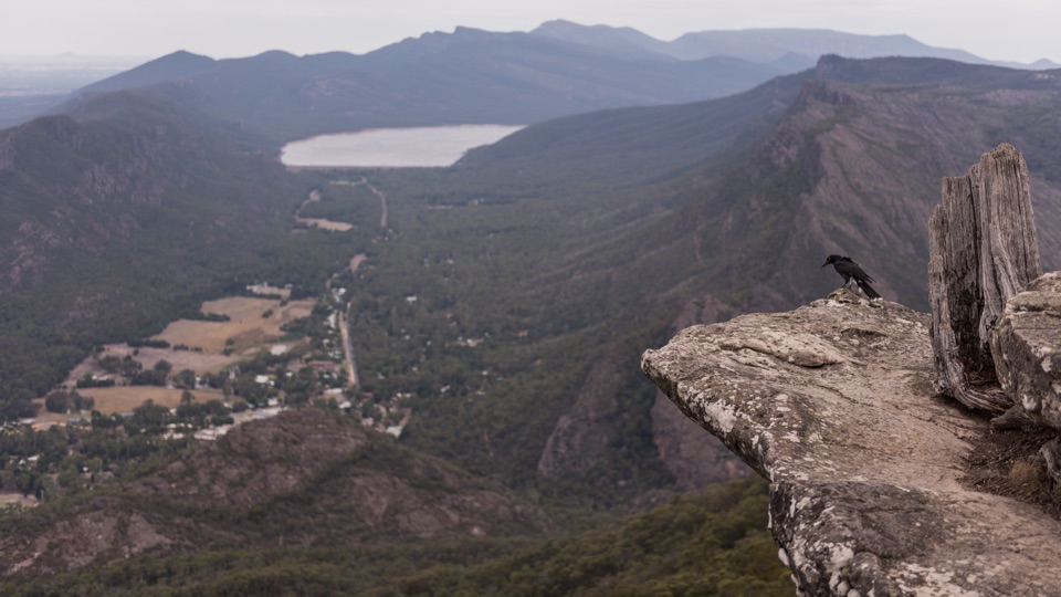
Gentle gravel stroll to sandstone platforms above a misty valley
Overview
No dogs (assistance dog requirements are handled separately)
 Parkwolf’s verdictRules worth knowing
Map & elevation
Plan your hike

The highest, rockiest slopes around here are a summer buffet for grizzly bears.
Grampians Tour Guide
Parkwolf is a GPS audio tour guide for Grampians National Park. As you drive, it chimes in with what’s ahead: hidden gems, upcoming stops, history, geology, and wildlife, right through your car’s speakers.
Recorded for this trailhead
Reeds Lookout and the Balconies“You're nearing the shared car park for Reeds Lookout and the Balconies, with two quite different reasons to get out of the car. Reeds gives you the broad panorama after a short uphill walk.”
Plays as you drive up to this trailhead in the Parkwolf Grampians Tour Guide.
More stories near here in the app
“Fantastic app with many points of information… It’s great to just turn on while you’re driving and it gives you an audio tour of the national Park. We love it!!!!”


Trail guide
An easy out-and-back from Reed Lookout Carpark to the Balconies Lookout, with 2.2 km as the total return distance and about an hour of walking. It is graded easy (Australian Grade 1), so it suits walkers of most fitness levels.
From the carpark you follow the Balconies path out through native stringybark woodland and rocky ground, crossing a few short timber bridge sections along the way. You return on exactly the same corridor, so there is no route-finding to worry about. The payoff comes at the end: viewing platforms at overhanging sandstone cliffs, looking out over the Victoria Valley and the Victoria Range.
The track is formed gravel or compacted path, generally gentle and fairly level. Expect a little undulation rather than any real climbing.
Mapping data flags wheelchair access here as limited, so this should not be treated as universally accessible. If you or someone in your group needs step-free certainty, treat it as likely rather than guaranteed and be ready to turn back at any point.
The cliffs at the lookout overhang and are unstable. Stay on the viewing platforms and away from unstable cliff edges, and keep hold of children.
Wildlife
 157 sightingsShort-beaked EchidnaMost seen around 6 PMSighting map
 37 sightingsPowerful OwlMost seen around 6 PMSighting map
 59 sightingsWedge-tailed EagleMost seen around 11 AMSighting map
 24 sightingsEastern Brown SnakeMost seen around 11 AMSighting map
 10 sightingsTiger SnakeMost seen around noonSighting map
 29 sightingsRed-bellied Black SnakeMost seen around 11 AMSighting map
Sighting maps show where each species has been reported across Grampians. Wildlife moves, so no sighting is guaranteed.
Keep exploring
 EasyReed Lookout Walk0.5 km · 10 min · At the trailheadTen minutes return to a fire tower and Victoria Valley views
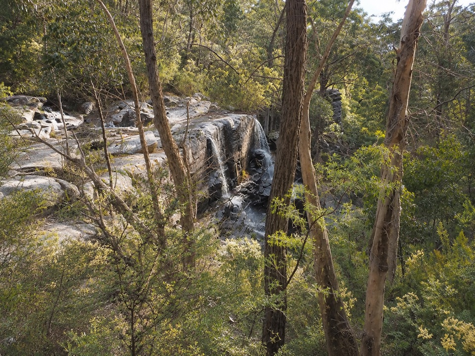 ModerateTurret Falls Walk2.4 km · 1 hr · 4.8 km awayShort gorge climb to a terraced seasonal falls seen from rocky ledges
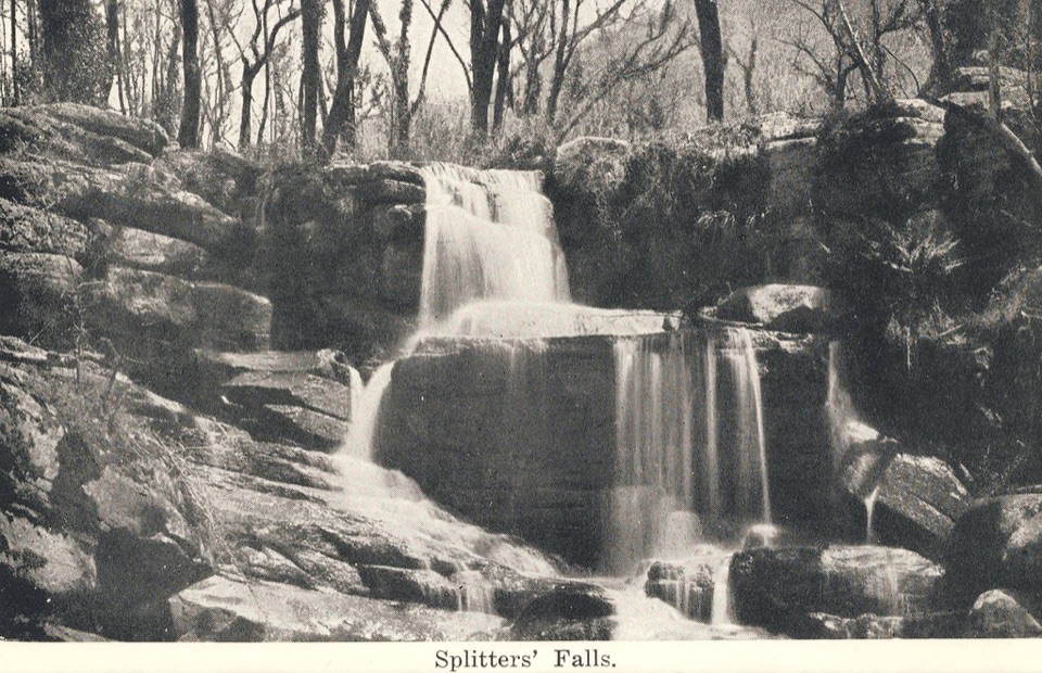 ModerateSplitters Falls Walk1.7 km · 1.3 hr · 4.8 km awayShort rocky gorge walk to a seasonal waterfall above Stony Creek
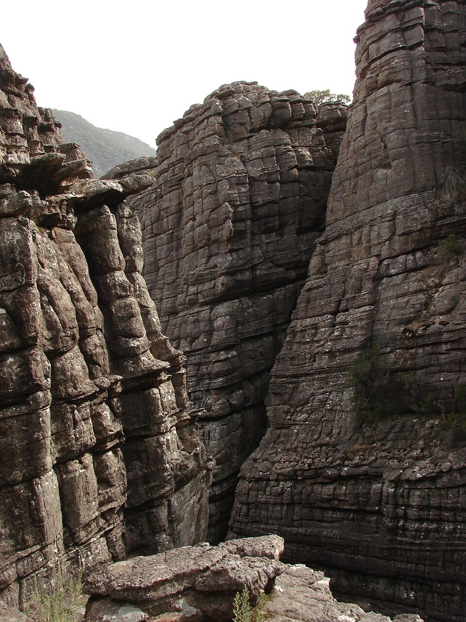 ModerateGrand Canyon Loop Walk0.9 km · 45 min · 4.8 km awaySqueeze through a sandstone gorge and climb out onto rock terraces
 ModerateThe Pinnacle via Wonderland Carpark4 km · 1.5 hr · 4.8 km awaySteep rocky climb through Silent Street to a cliff-edge lookout
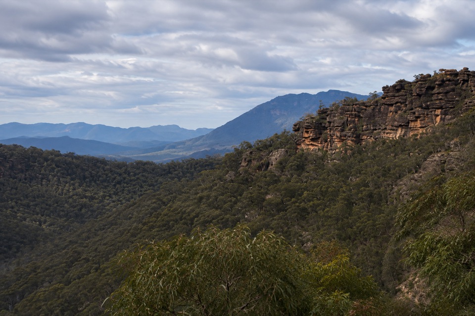 ChallengingTower Hill Walk4.6 km · 3 hr · 5.1 km awaySteep overgrown climb to a rocky summit with wide valley views
 ModerateMackenzie Falls Walk2 km · 1.3 hr · 5.4 km awaySteep 260 steps down to a thundering waterfall, then back up
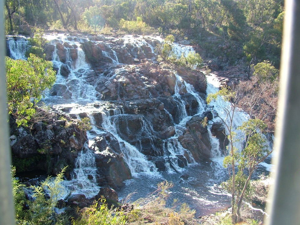 EasyMackenzie Falls Lookout Walk1.6 km · 45 min · 5.4 km awaySealed forest loop to a lookout above falls and sandstone gorgeSight · 0.2 km awayReeds LookoutWide Victoria Valley views from a very short uphill walkSight · 0.9 km awayThe BalconiesCliff-edge rock platforms above the vast Victoria Valley
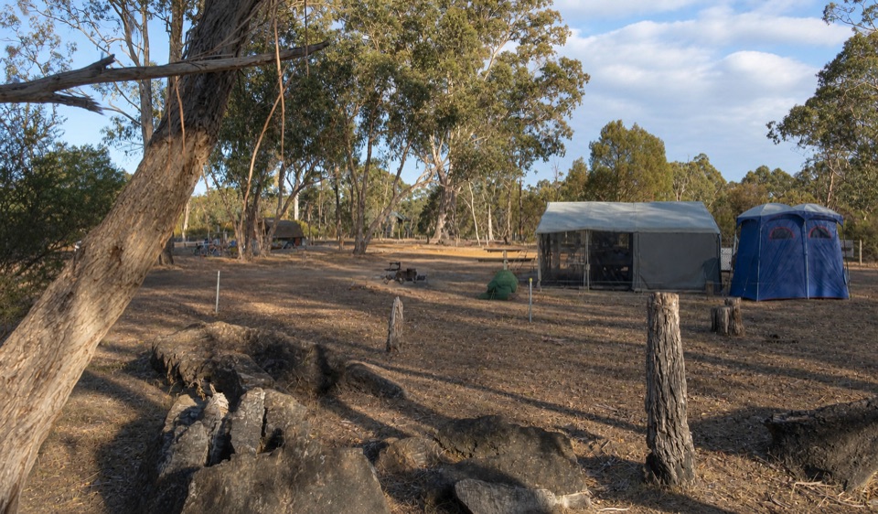 Campground · 4 km awayBoreang CampgroundA quiet bush camp with wildlife, fire rings, and open woodland
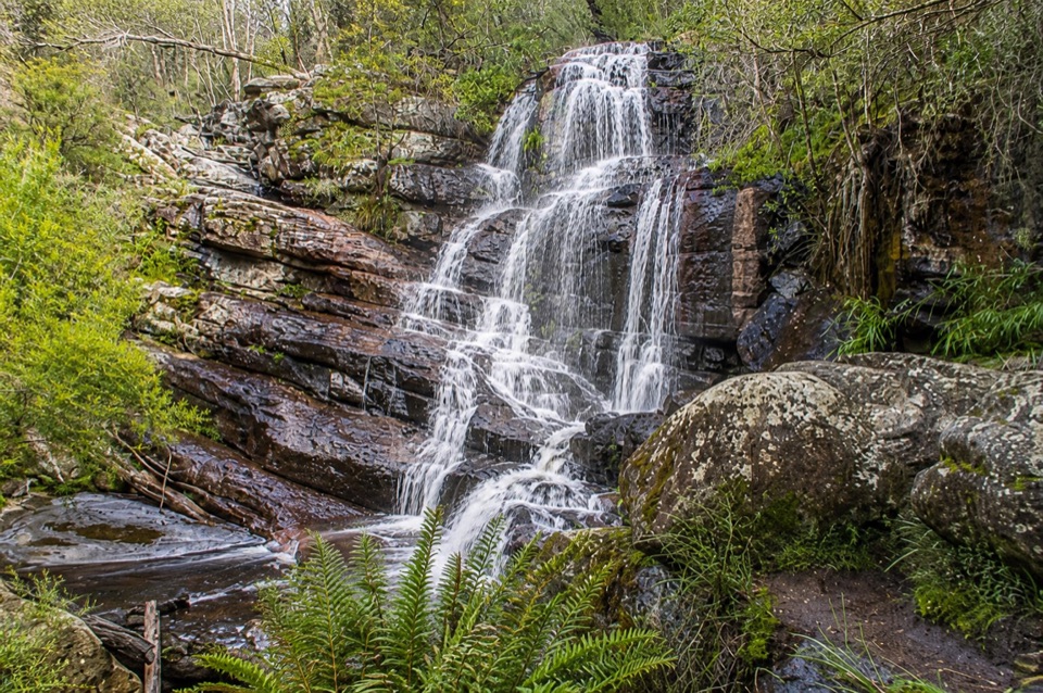 Sight · 4.7 km awaySplitters FallsA seasonal cascade tucked into a shady, rock-strewn walk
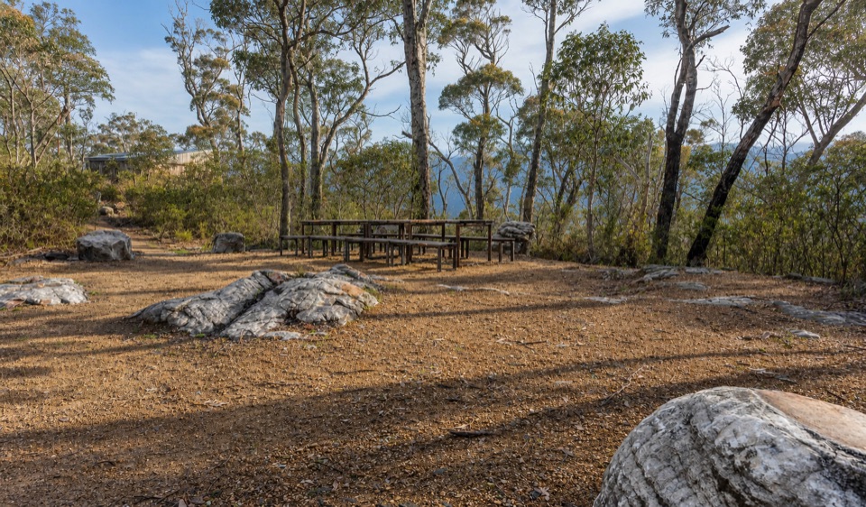 Campground · 4.8 km awayStony Creek Group CampgroundA quiet group camp among pines, granite, and mountain views
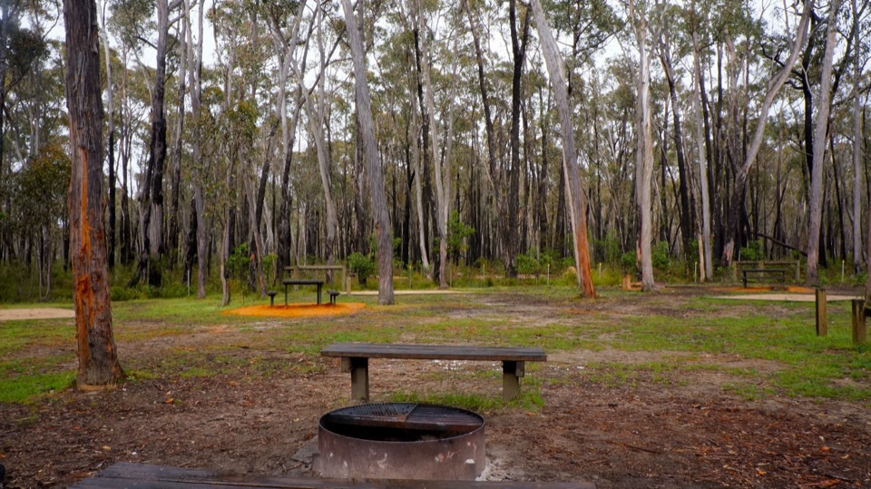 Campground · 5 km awaySmiths Mill CampgroundA shady woodland camp with fire rings and waterfall access
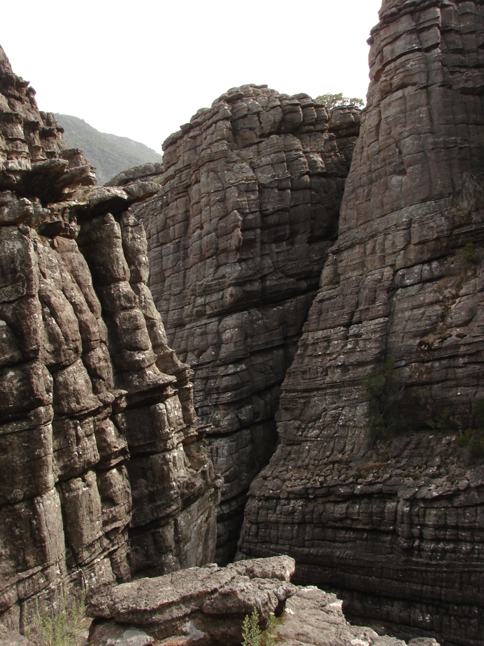 Sight · 5 km awayGrand CanyonA narrow sandstone gorge with ladders and seasonal cascades
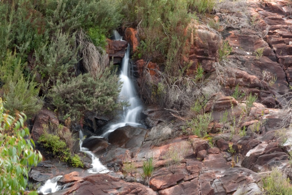 Sight · 5.3 km awayBroken Falls LookoutA short accessible walk to sweeping Broken Falls views
Parkwolf’s Grampians ranking
The audio tour guide for the drive, plus offline maps, trails, and wildlife heatmaps for when the signal drops.