Parking
Use the small Mount Abrupt Carpark on the east side of Grampians Road (C216), about 7 km north of Dunkeld. It is the signed starting point for the Mt Abrupt and Signal Peak walks.

#5 of 81 trails in Grampians
Grampians National Park, VIC
A steep sandstone climb to ridge-top views over the Serra Range
Overview
A 6.5 km return out and back from Mount Abrupt Carpark to the summit of Mt Abrupt (Mud-dadjug), taking about 3 hours for most walkers. Fit walkers can move faster, but the steep ground and time spent at the top make three hours a sensible plan. Graded 4 / hard, and rated 7/10 for difficulty here.
Map & elevation
Plan your hike

The highest, rockiest slopes around here are a summer buffet for grizzly bears.
Grampians Tour Guide
Parkwolf is a GPS audio tour guide for Grampians National Park. As you drive, it chimes in with what’s ahead: hidden gems, upcoming stops, history, geology, and wildlife, right through your car’s speakers.
Recorded for this trailhead
Mount Abrupt: Above the Southern Plains“You're coming up on Mount Abrupt Carpark, the starting point for a steep climb above the southern plains.”
Plays as you drive up to this trailhead in the Parkwolf Grampians Tour Guide.
More stories near here in the app
“Fantastic app with many points of information… It’s great to just turn on while you’re driving and it gives you an audio tour of the national Park. We love it!!!!”


Trail guide
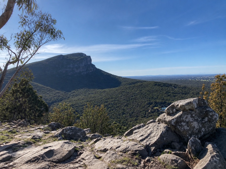
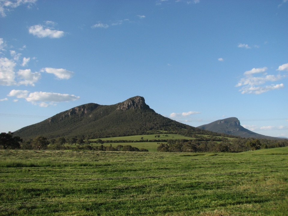
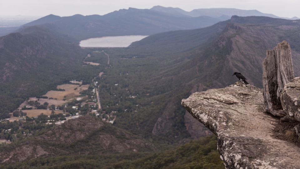
The walk starts at the small gravel parking area on the east side of Grampians Road (C216), roughly 7 km north of Dunkeld, and follows the signed Mt Abrupt Walking Track. Open forest and heathy woodland give way to rockier, more exposed ground with height, then to wind-shaped summit vegetation and a rocky viewpoint. From the top, views run north along the Serra Range and south across the plains around Dunkeld, weather permitting. Return by the same track.
Expect a sustained climb with steps, uneven and loose rock, exposed sandstone slabs, and short stretches of rock hopping or light scrambling. Small water crossings are possible. Surfaces can be slippery when wet, and wet or windy weather makes the upper sections harder. Sturdy footwear and steady footing habits matter more than speed here.
Official advice for this site lists a steep track, slippery surfaces and rocks, unstable cliffs, and falling limbs or trees. Some sections are prone to landslip and falling rock or soil, and heavy rain brings flash-flood risk in low points. Assume there is no water on the route and carry everything you need. Much of the upper walk is open to sun and wind, with little shade near the top.
Signal Peak also starts from this carpark, but it is a distinct and longer walk with its own distance and time. Treat it as a different outing rather than an extension of this 6.5 km return route.
Wildlife
 157 sightingsShort-beaked EchidnaMost seen around 6 PMSighting map
 37 sightingsPowerful OwlMost seen around 6 PMSighting map
 59 sightingsWedge-tailed EagleMost seen around 11 AMSighting map
 24 sightingsEastern Brown SnakeMost seen around 11 AMSighting map
 10 sightingsTiger SnakeMost seen around noonSighting map
 29 sightingsRed-bellied Black SnakeMost seen around 11 AMSighting map
Sighting maps show where each species has been reported across Grampians. Wildlife moves, so no sighting is guaranteed.
Keep exploring
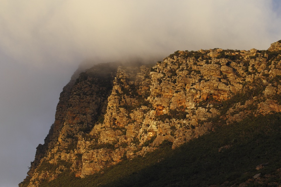 ChallengingSignal Peak Walk7.8 km · 3.5 hr · At the trailheadRock-hopping climb beneath a sandstone escarpment to Serra Range viewsChallengingMud-Dadjug Overnight Hike22.1 km · 17 hr · 2.8 km awayRidge summits, a hike-in camp, then Red Gum woodland into Dunkeld
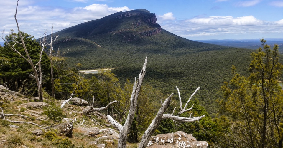 ModerateThe Piccaninny (Bainggug) Walk2.4 km · 1.3 hr · 3.5 km awayShort woodland climb to summit views over Dunkeld and Mud-dadjug
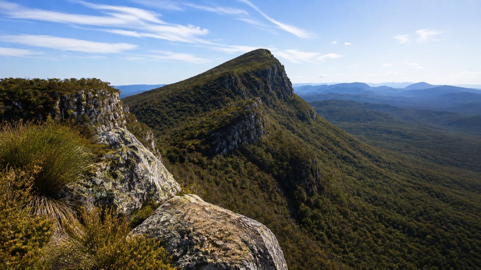 ChallengingMt Sturgeon (Wurgarri) Walk7 km · 3 hr · 4.9 km awaySteep rocky climb to a wind-shaped summit above Dunkeld
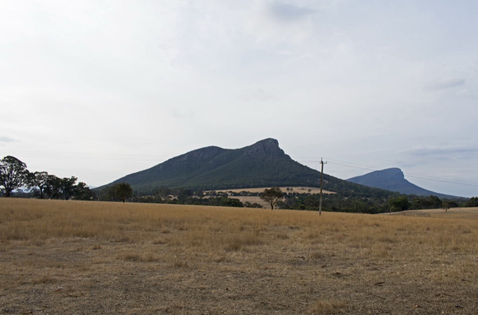 EasyDunkeld to Mount Sturgeon Discovery Trail3.1 km · 48 min · 6.6 km awayGentle 3 km town path ending beneath Mount Sturgeon and Mount Abrupt
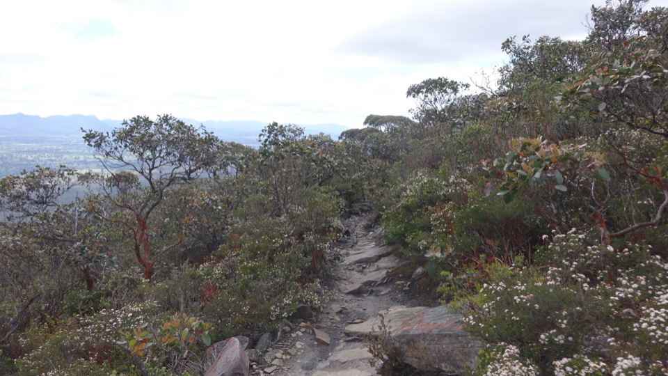 ChallengingDjardji-djawara and Mud-dadjug 3-day Hike33.4 km · 18 hr · 10.6 km awaySkyline traverse over Signal Peak and Mt Abrupt, finishing in Dunkeld
 ChallengingWannon Overnight Hike12.1 km · 7 hr · 19.5 km awaySix knolls, wetland edges, and one night in a quiet grassy gully
Parkwolf’s Grampians ranking

The audio tour guide for the drive, plus offline maps, trails, and wildlife heatmaps for when the signal drops.