Parking
Wonderland Carpark on Wonderland Road near Halls Gap. Small car park with public toilets and a picnic table; the circuit starts at the carpark.

#2 of 81 trails in Grampians
Grampians National Park, VIC
Steep rocky climb through Silent Street to a cliff-edge lookout
Overview
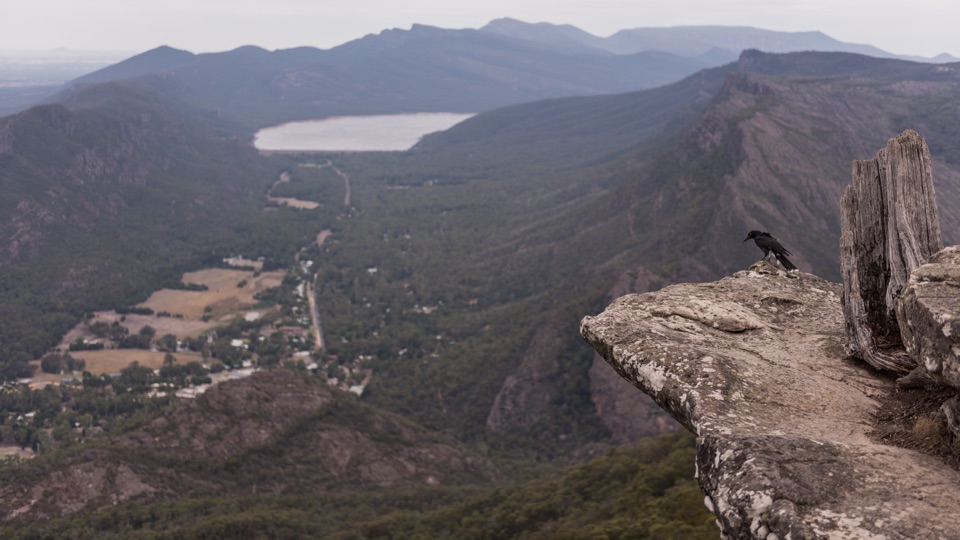
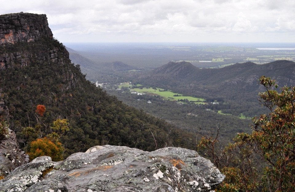
The lookout is a rock ledge with a guardrail, set high above Lake Bellfield, looking across to Halls Gap and out to the Mount William Range. On the way up, the appeal is the rock itself: canyon walls, tight passages, and rocky woodland with vegetation regrowing after past bushfires.
 Parkwolf’s verdictThe payoff and the scenery
Map & elevation
Plan your hike

The highest, rockiest slopes around here are a summer buffet for grizzly bears.
Grampians Tour Guide
Parkwolf is a GPS audio tour guide for Grampians National Park. As you drive, it chimes in with what’s ahead: hidden gems, upcoming stops, history, geology, and wildlife, right through your car’s speakers.
Recorded for this trailhead
The Pinnacle from Wonderland“You're approaching the Wonderland starting point for the Pinnacle, where the walk through the rocks is a big part of the attraction.”
Plays as you drive up to this trailhead in the Parkwolf Grampians Tour Guide.
More stories near here in the app
“Fantastic app with many points of information… It’s great to just turn on while you’re driving and it gives you an audio tour of the national Park. We love it!!!!”


Trail guide
This is a 4.0 km circuit from Wonderland Carpark, usually walked in about 1.5 hours. The track leaves the carpark and climbs through the Grand Canyon rock formations, threads the narrow cleft known as Silent Street, tops out at The Pinnacle lookout, then loops back down to the carpark rather than retracing the same line. The climbing is concentrated on the way up to the lookout, and the return gives all of that height back.
Grading sits at the moderate end on paper (Grade 3), but the route is described as medium to hard by regional information and as the more challenging way to The Pinnacle by park managers. Expect steep pitches, uneven rock, and stretches where you step up and over stone or use built steps. Some sections have handrails or short boardwalks, but much of the walking is on natural rock. Slippery rock is the main hazard, and it gets worse after rain.
The walk starts at Wonderland Carpark on Wonderland Road, near Halls Gap. It is a small car park with public toilets and a picnic table. No permits or bookings are required.
Dogs are not allowed. Also not permitted: camping, fires, horses, fishing, generators, bicycles, motorised vehicles on management paths, tracks and roads, and firearms. Assistance dog entry is handled under separate requirements.
The route asks for reasonable fitness and confidence on steep, uneven, rocky ground, with narrow passages to pass through and rocks that turn slippery when wet. If that sounds like too much, the Sundial Carpark route to the same lookout is roughly 4.2 km return and is the easier way up, with less rock negotiation. There is also a longer walk in from Halls Gap and a wider Wonderland Loop, but neither is what this circuit covers.
Wildlife
 157 sightingsShort-beaked EchidnaMost seen around 6 PMSighting map
 37 sightingsPowerful OwlMost seen around 6 PMSighting map
 59 sightingsWedge-tailed EagleMost seen around 11 AMSighting map
 24 sightingsEastern Brown SnakeMost seen around 11 AMSighting map
 10 sightingsTiger SnakeMost seen around noonSighting map
 29 sightingsRed-bellied Black SnakeMost seen around 11 AMSighting map
Sighting maps show where each species has been reported across Grampians. Wildlife moves, so no sighting is guaranteed.
Keep exploring
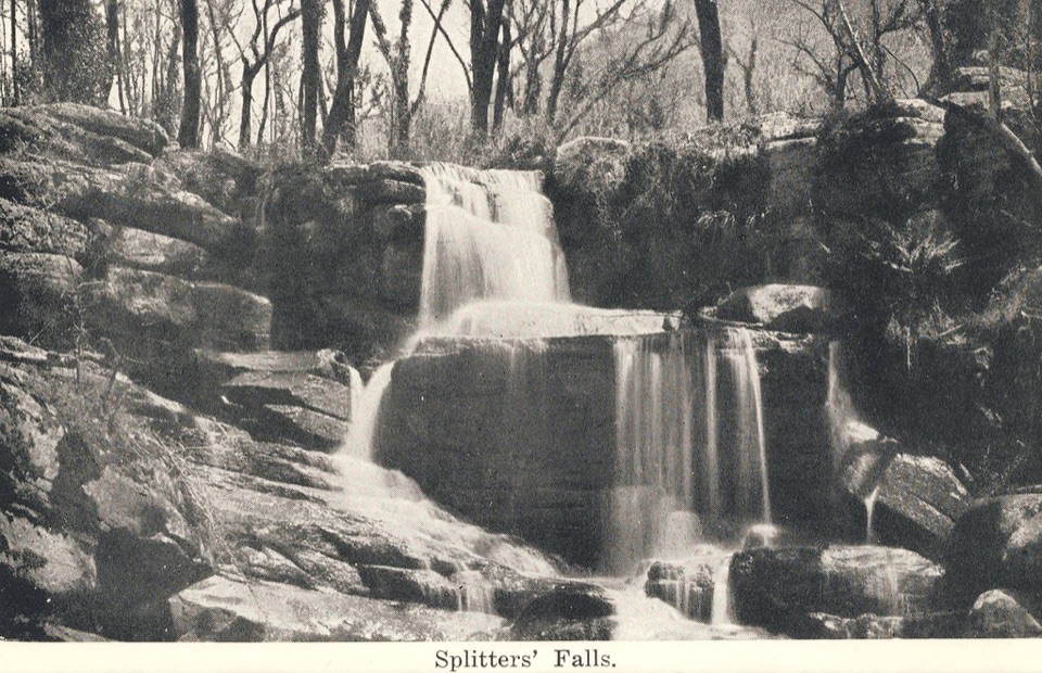 ModerateSplitters Falls Walk1.7 km · 1.3 hr · At the trailheadShort rocky gorge walk to a seasonal waterfall above Stony Creek
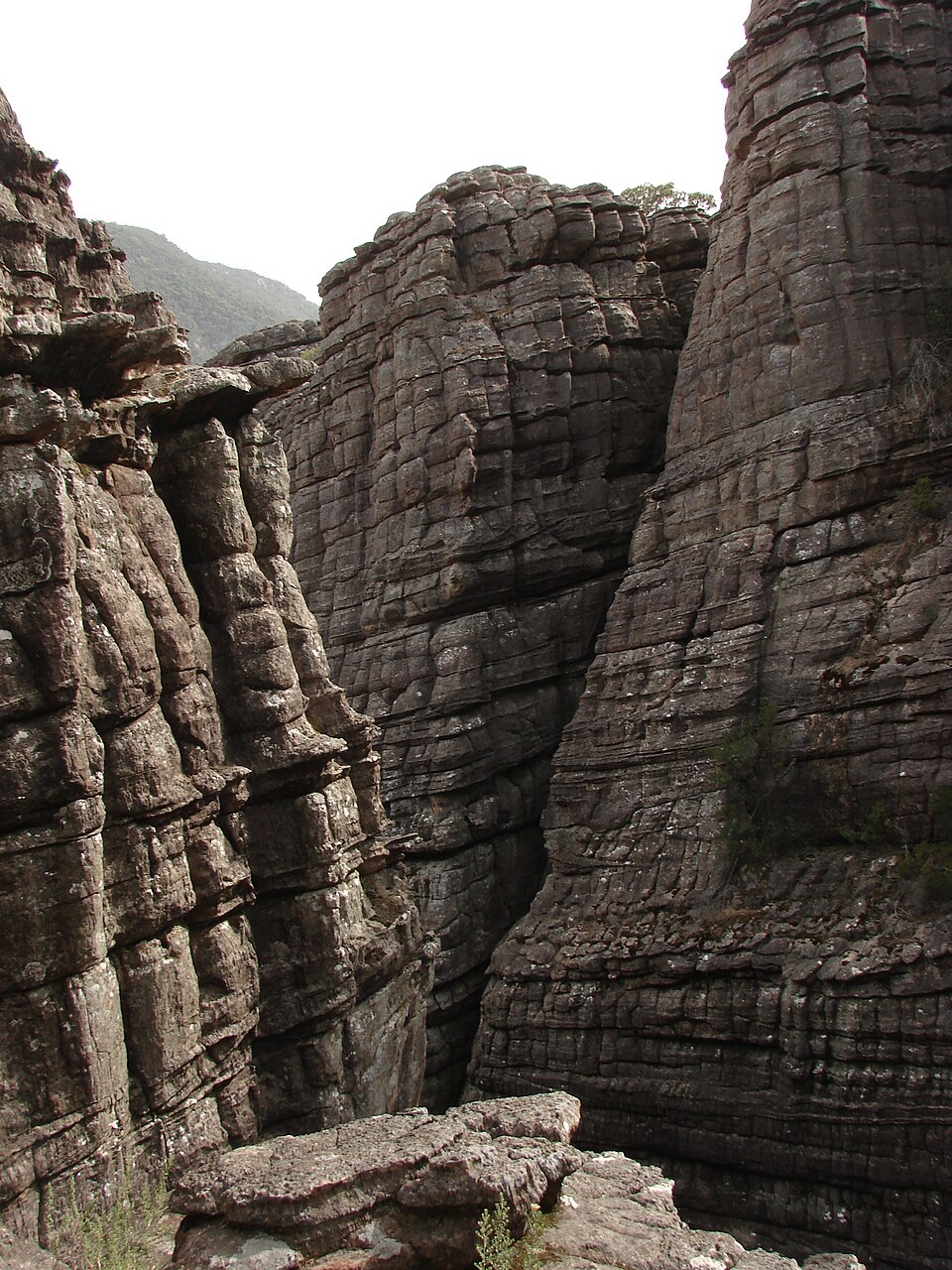 ModerateGrand Canyon Loop Walk0.9 km · 45 min · At the trailheadSqueeze through a sandstone gorge and climb out onto rock terraces
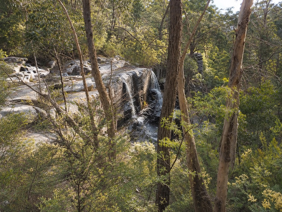 ModerateTurret Falls Walk2.4 km · 1 hr · At the trailheadShort gorge climb to a terraced seasonal falls seen from rocky ledges
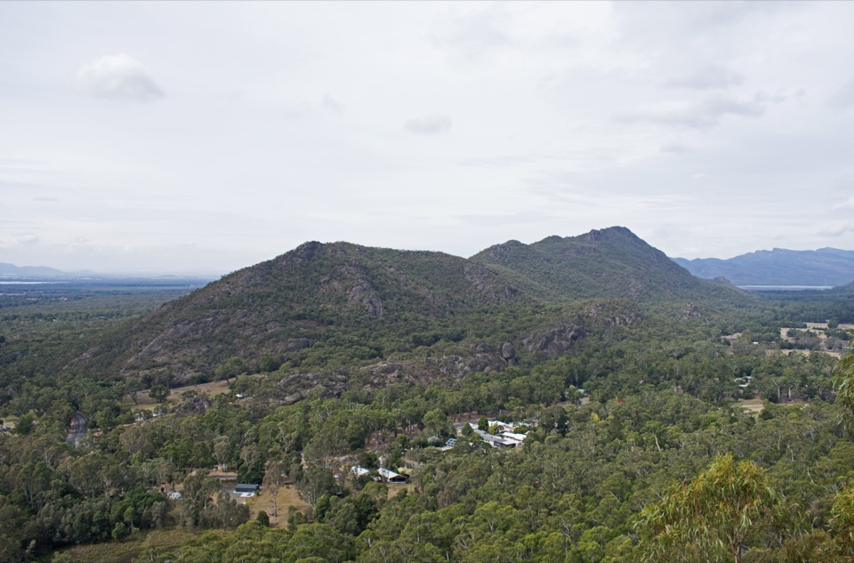 ModerateChatauqua Peak Loop Walk6.3 km · 2.5 hr · 1.8 km awaySteep rocky summit above Halls Gap, with fern gullies and a waterfall
 ModerateHalls Gap to The Pinnacle9.6 km · 5 hr · 1.8 km awaySteep sandstone climb to a wide lookout, then a canyon-lined return
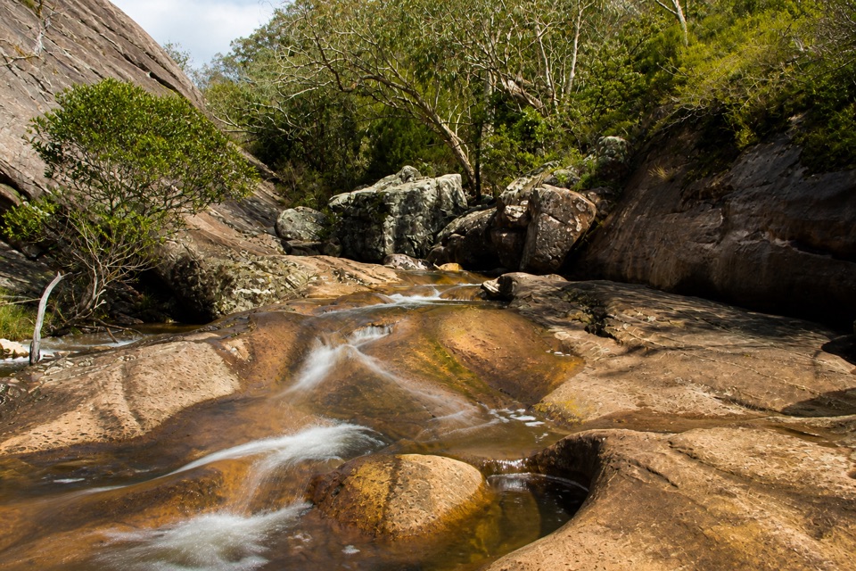 EasyVenus Baths Loop Walk2.3 km · 1 hr · 1.9 km awaySmooth sandstone pools on Stony Creek, an easy 2.3 km family circuit
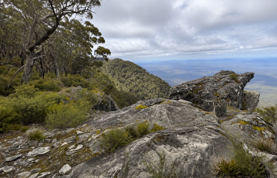 ChallengingWerdug Overnight Hike26 km · 13 hr · 1.9 km awaySteep escarpment climb to a high hike-in camp above Lake Wartook
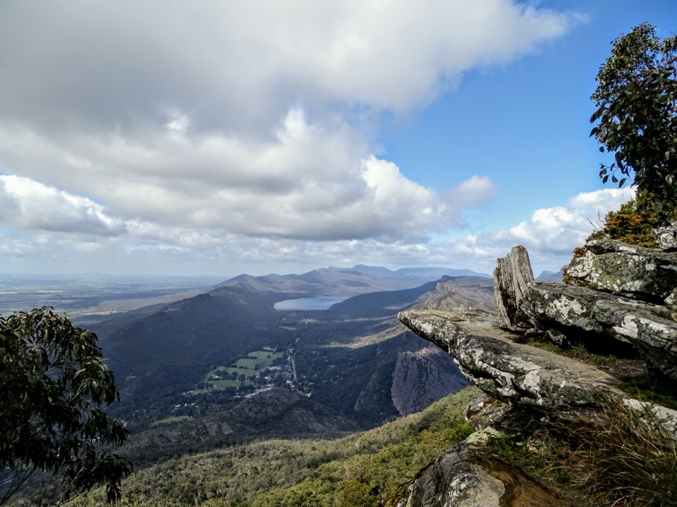 ChallengingBoroka Lookout from Halls Gap12 km · 4 hr · 1.9 km awaySteep 12 km climb through stringybark forest to a cliff-edge panorama
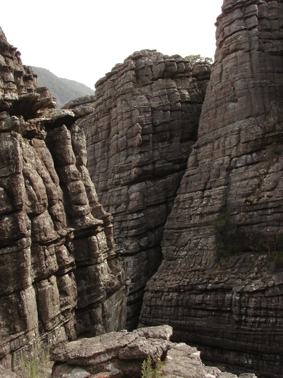 Sight · 0.2 km awayGrand CanyonA narrow sandstone gorge with ladders and seasonal cascades
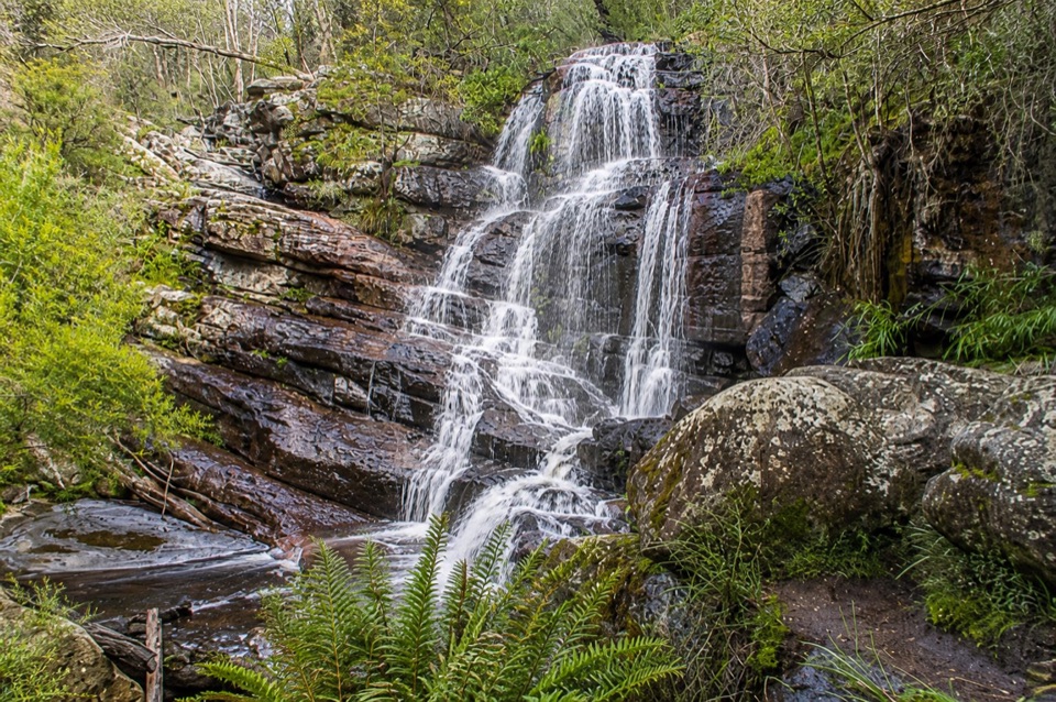 Sight · 0.4 km awaySplitters FallsA seasonal cascade tucked into a shady, rock-strewn walkSight · 1.4 km awayVenus BathsSmooth sandstone pools made for a cool, easy creekside wanderSight · 1.5 km awayPinnacle LookoutA dramatic rock platform above Halls Gap and Lake Bellfield
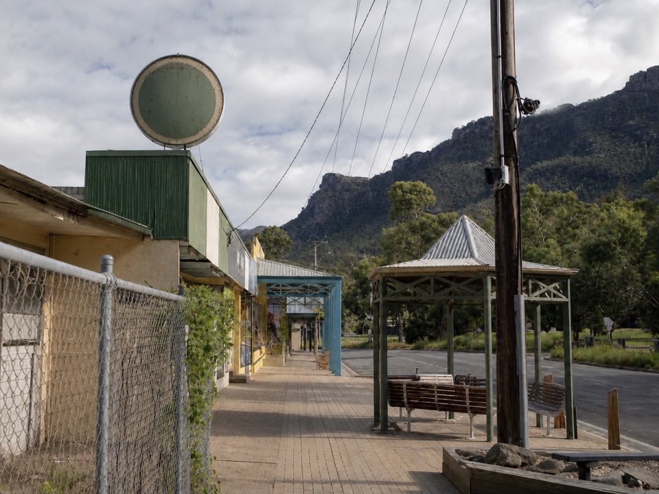 Sight · 1.8 km awayHalls GapA practical mountain base for central walks, wildlife, and big views
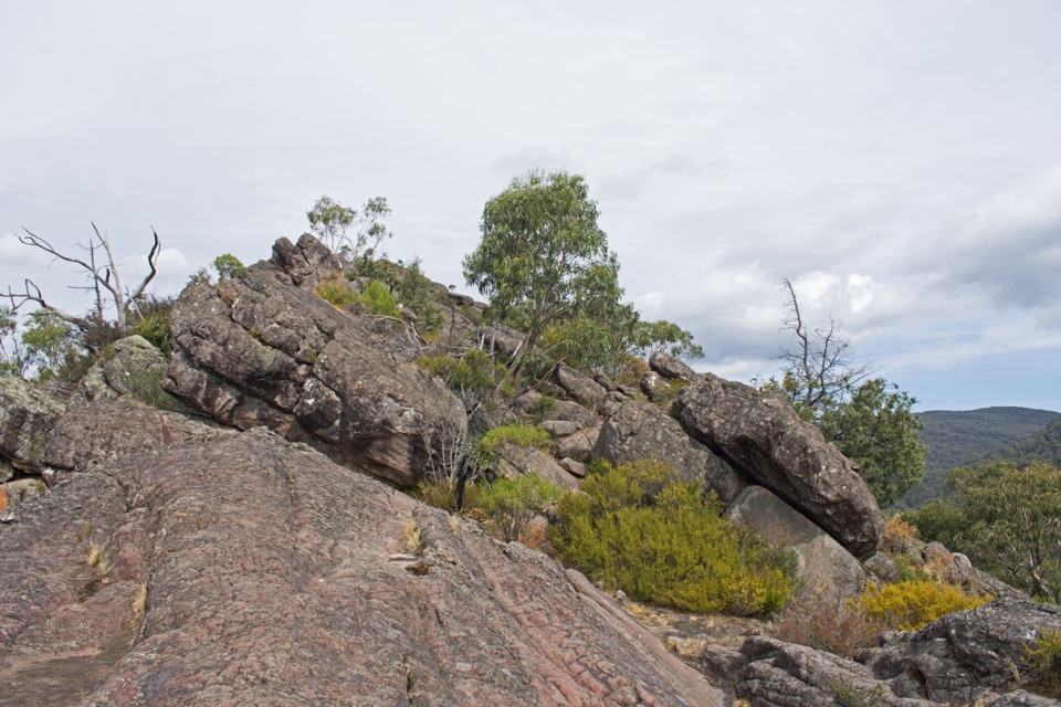 Sight · 2 km awayChatauqua PeakA rocky summit scramble with wide views over Halls Gap
 Visitor center · 2.5 km awayBrambuk the National Park & Cultural CentreA cultural gateway to Gariwerd stories, wildlife, and walking plans
 Sight · 2.8 km awayLakeview LookoutA short rocky walk to a wide Lake Bellfield panorama
Parkwolf’s Grampians ranking
The audio tour guide for the drive, plus offline maps, trails, and wildlife heatmaps for when the signal drops.