Parking
Piccaninny Carpark on Victoria Valley Road / Grampians Tourist Road near Dunkeld; the walk starts and finishes there.
Grampians National Park, VIC
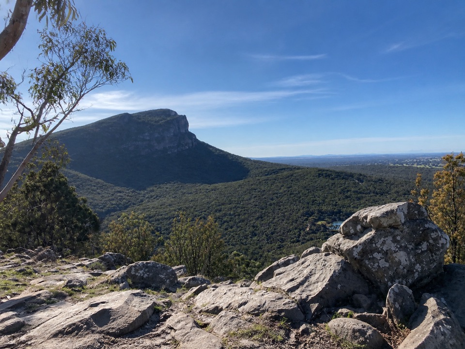
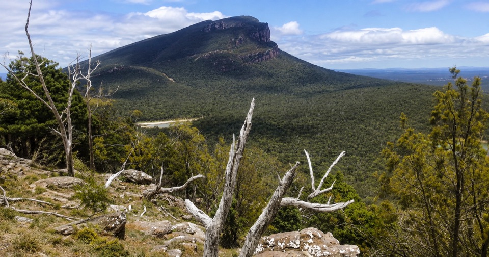
Short woodland climb to summit views over Dunkeld and Mud-dadjug
Overview
Map & elevation
Plan your hike

The highest, rockiest slopes around here are a summer buffet for grizzly bears.
Grampians Tour Guide
Parkwolf is a GPS audio tour guide for Grampians National Park. As you drive, it chimes in with what’s ahead: hidden gems, upcoming stops, history, geology, and wildlife, right through your car’s speakers.
Recorded for this trailhead
The Piccaninny: A Summit in an Hour“Up ahead is the car park for the Piccaninny, also called Bainggug, a rewarding choice if you'd like a summit view in about an hour.”
Plays as you drive up to this trailhead in the Parkwolf Grampians Tour Guide.
More stories near here in the app
“Fantastic app with many points of information… It’s great to just turn on while you’re driving and it gives you an audio tour of the national Park. We love it!!!!”


Trail guide
An out-and-back walk of about 2.4 km return, which is the full round trip of roughly 1.2 km each way. Most people take about an hour, or up to 1.5 hours with photo stops at the top.
From Piccaninny Carpark the track climbs gradually through open woodland to the Bainggug summit viewpoint, then you return by exactly the same path. The path is well defined and easy to follow, so route finding is not the challenge here.
Moderate, Australian Grade 3. The climb is steady rather than steep, with route elevations running roughly 291 to 415 m and around 126 m of ascent reported for the walk. Expect uneven, rough ground in places, but no technical scrambling. Solid shoes with grip make the difference, especially on the descent.
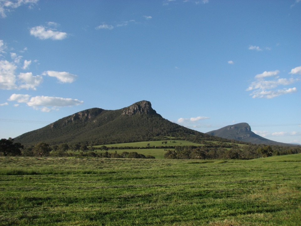
The walk passes through open woodland country with Hakea, Grevillea and Banksia, and the summit opens out to a panorama across to Mud-dadjug (Mount Abrupt), down to Dunkeld and over the surrounding pastoral landscape. Spring brings wildflowers, and there are native plants and animals to notice along the way.
Rocks can be slippery, cliff edges near the top are unstable, and limbs or whole trees can come down in the bush, so keep back from drops and watch where you stand. No camping, fires, horses, bicycles, firearms, vehicles or generators. Ordinary dogs are not allowed in the park; assistance dogs are handled under separate requirements.
This is a quick hit rather than a big day out, and the reward is concentrated at the summit rather than spread along the way. If you want something longer and considerably harder from the same area, the Mount Sturgeon (Wurgarri) walks are a different level of effort.
Wildlife
 157 sightingsShort-beaked EchidnaMost seen around 6 PMSighting map
 37 sightingsPowerful OwlMost seen around 6 PMSighting map
 59 sightingsWedge-tailed EagleMost seen around 11 AMSighting map
 24 sightingsEastern Brown SnakeMost seen around 11 AMSighting map
 10 sightingsTiger SnakeMost seen around noonSighting map
 29 sightingsRed-bellied Black SnakeMost seen around 11 AMSighting map
Sighting maps show where each species has been reported across Grampians. Wildlife moves, so no sighting is guaranteed.
Keep exploring
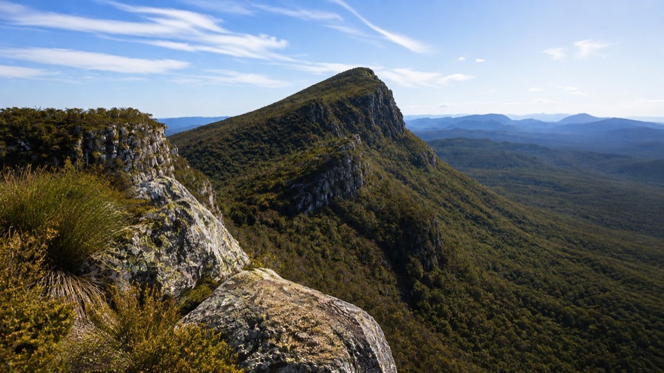 ChallengingMt Sturgeon (Wurgarri) Walk7 km · 3 hr · 1.4 km awaySteep rocky climb to a wind-shaped summit above Dunkeld
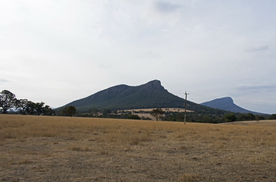 EasyDunkeld to Mount Sturgeon Discovery Trail3.1 km · 48 min · 3.3 km awayGentle 3 km town path ending beneath Mount Sturgeon and Mount Abrupt
 ChallengingMt Abrupt (Mud-dadjug) Walk6.5 km · 3 hr · 3.5 km awayA steep sandstone climb to ridge-top views over the Serra Range
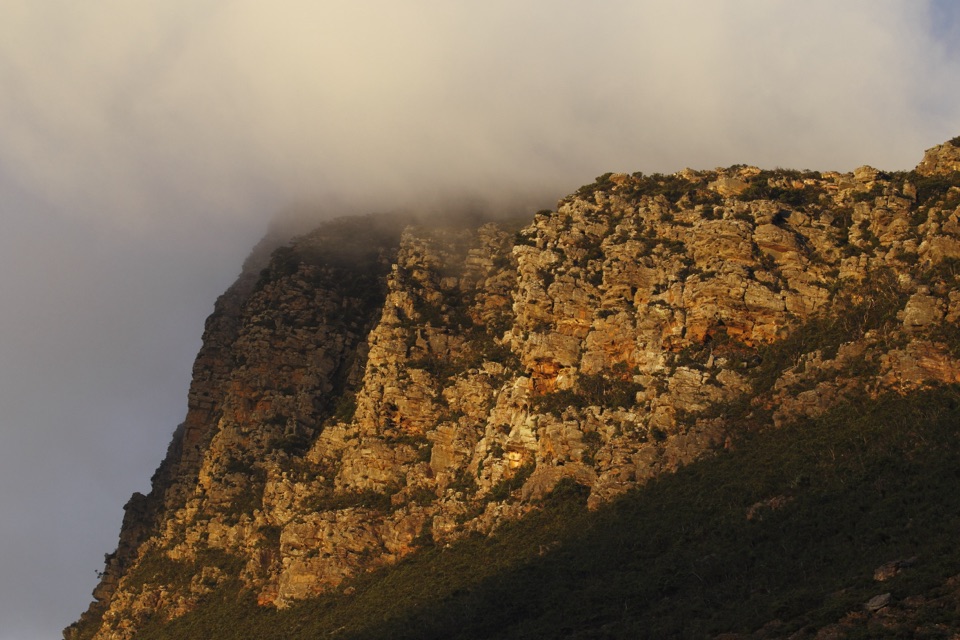 ChallengingSignal Peak Walk7.8 km · 3.5 hr · 3.5 km awayRock-hopping climb beneath a sandstone escarpment to Serra Range viewsChallengingMud-Dadjug Overnight Hike22.1 km · 17 hr · 6.1 km awayRidge summits, a hike-in camp, then Red Gum woodland into Dunkeld
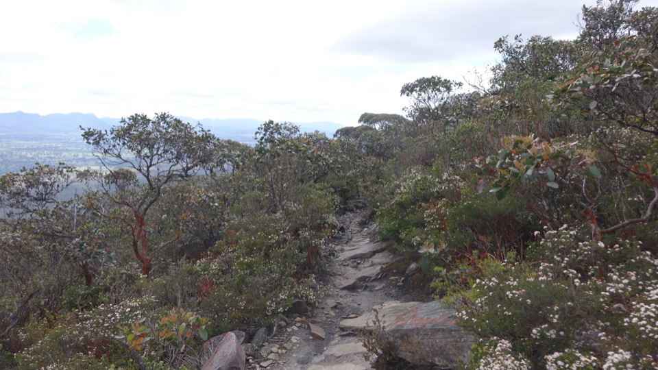 ChallengingDjardji-djawara and Mud-dadjug 3-day Hike33.4 km · 18 hr · 14 km awaySkyline traverse over Signal Peak and Mt Abrupt, finishing in Dunkeld
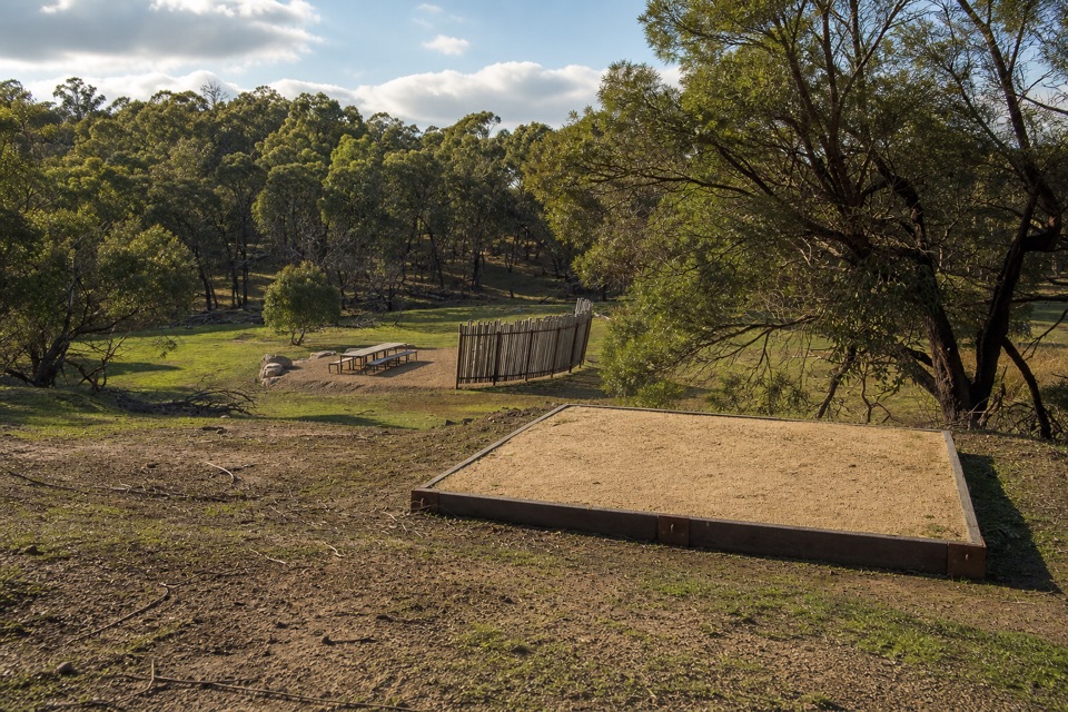 ChallengingWannon Overnight Hike12.1 km · 7 hr · 22.9 km awaySix knolls, wetland edges, and one night in a quiet grassy gully
Parkwolf’s Grampians ranking

The audio tour guide for the drive, plus offline maps, trails, and wildlife heatmaps for when the signal drops.