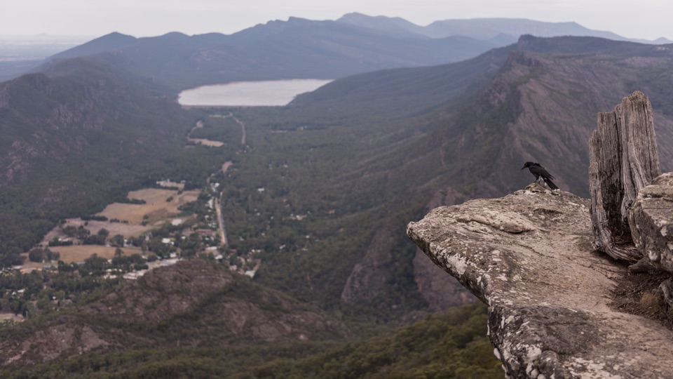
Parking
Start at Mackenzie Falls Car Park, reached on the sealed access road from Mount Victory Road. Toilets, picnic facilities and information boards are at the trailhead.

#3 of 81 trails in Grampians
Grampians National Park, VIC
Steep 260 steps down to a thundering waterfall, then back up
Overview
Broken Falls Walk is a short, easier, wheelchair-friendly walk out to a lookout. It gives you the waterfall view without the descent and climb.
 Parkwolf’s verdictIf the stairs aren't for you
Map & elevation
Plan your hike

The highest, rockiest slopes around here are a summer buffet for grizzly bears.
Grampians Tour Guide
Parkwolf is a GPS audio tour guide for Grampians National Park. As you drive, it chimes in with what’s ahead: hidden gems, upcoming stops, history, geology, and wildlife, right through your car’s speakers.
Recorded for this trailhead
MacKenzie Falls: Choose Your Walk“You're coming up on MacKenzie Falls, and this is a stop I'd make time for, even if a steep walk isn't for you. The falls flow all year, dropping over dark rock into a deep pool and sending spray through the gorge.”
Plays as you drive up to this trailhead in the Parkwolf Grampians Tour Guide.
More stories near here in the app
“Fantastic app with many points of information… It’s great to just turn on while you’re driving and it gives you an audio tour of the national Park. We love it!!!!”


Trail guide
Out-and-back from Mackenzie Falls Car Park to the base of Mackenzie Falls and back the same way, 2 km / 1.24 miles return. Budget about 1 hour 15 minutes, realistically 1 to 1.5 hours depending on your pace and how long you linger at the falls.
The first stretch through stringybark and native shrubs is gentle and easy to follow. Then the track tips over the edge of the gorge and drops through 260 narrow steps to river level, where sandstone walls close in and the falls come down in tiers into a deep pool. The air at the bottom is noticeably cooler and damp, and on the right day mist hangs in the light.
Don't let the short distance fool you. Parks Victoria rates this one strenuous, and we score it 6/10. The surface is well paved with no scrambling, but the descent is steep and the return is one long sustained stair climb. That climb back out is the part that catches people, so pace it and take breaks on the way up.
Swimming at Mackenzie Falls is not permitted. The water is cold and deep, currents are strong, and there are submerged objects you can't see from the surface. Dogs are not allowed on this trail; assistance dog access is handled under separate requirements.
Drive in on the sealed access road off Mount Victory Road to Mackenzie Falls Car Park. There are toilets, picnic facilities and information boards at the trailhead. The precinct is a popular one, so weekends and holidays are busier.
Wildlife
 157 sightingsShort-beaked EchidnaMost seen around 6 PMSighting map
 37 sightingsPowerful OwlMost seen around 6 PMSighting map
 59 sightingsWedge-tailed EagleMost seen around 11 AMSighting map
 24 sightingsEastern Brown SnakeMost seen around 11 AMSighting map
 10 sightingsTiger SnakeMost seen around noonSighting map
 29 sightingsRed-bellied Black SnakeMost seen around 11 AMSighting map
Sighting maps show where each species has been reported across Grampians. Wildlife moves, so no sighting is guaranteed.
Keep exploring
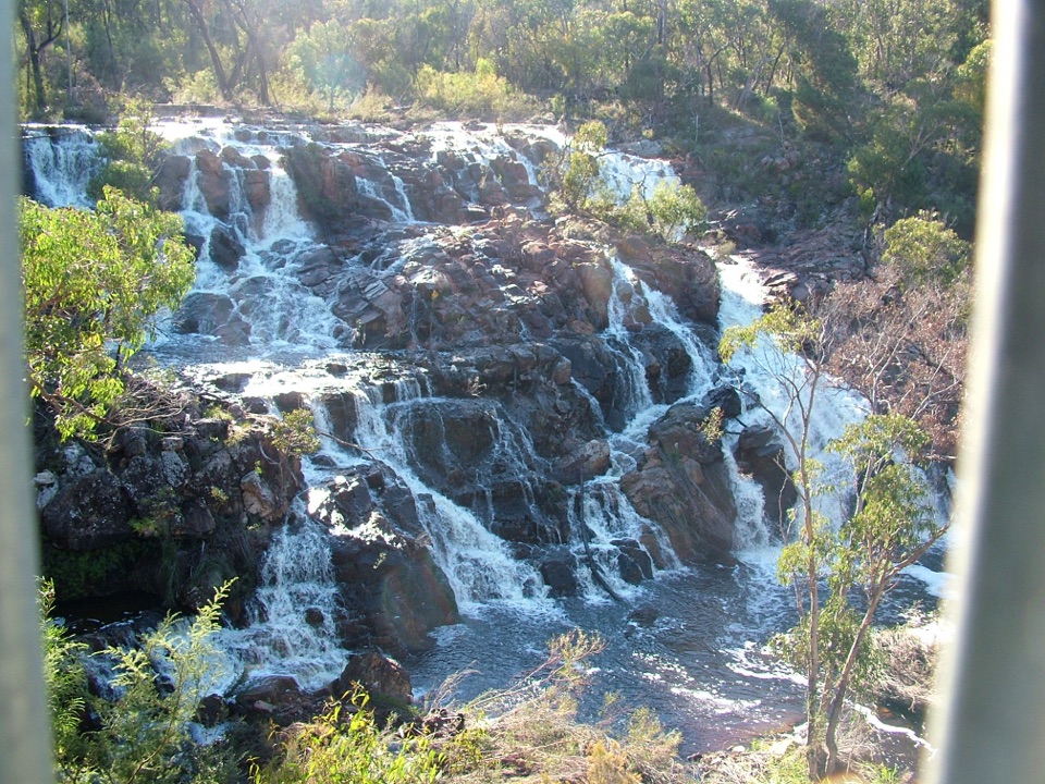 EasyMackenzie Falls Lookout Walk1.6 km · 45 min · At the trailheadSealed forest loop to a lookout above falls and sandstone gorge
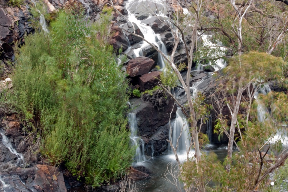 EasyBroken Falls and Cranages Lookouts1.3 km · 30 min · At the trailheadShort paved stroll to waterfall views above a rocky river gorge
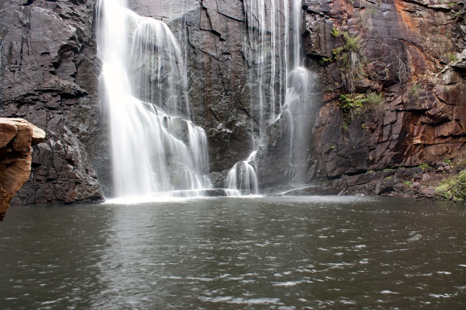 ChallengingMackenzie River Walk7 km · 3.5 hr · 3 km awayRock hopping and river crossings to the base of Mackenzie Falls
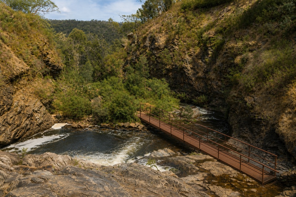 ModerateFish Falls Walk4.8 km · 2.5 hr · 3 km awayFollow the MacKenzie River upstream to terraced cascades and a quiet pool
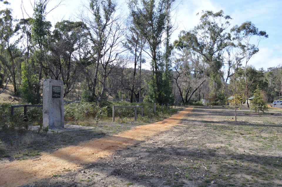 EasyZumsteins Historic Walk0.3 km · 30 min · 3 km awayPise cottages, a river boardwalk and beekeeping history in 250 easy metres
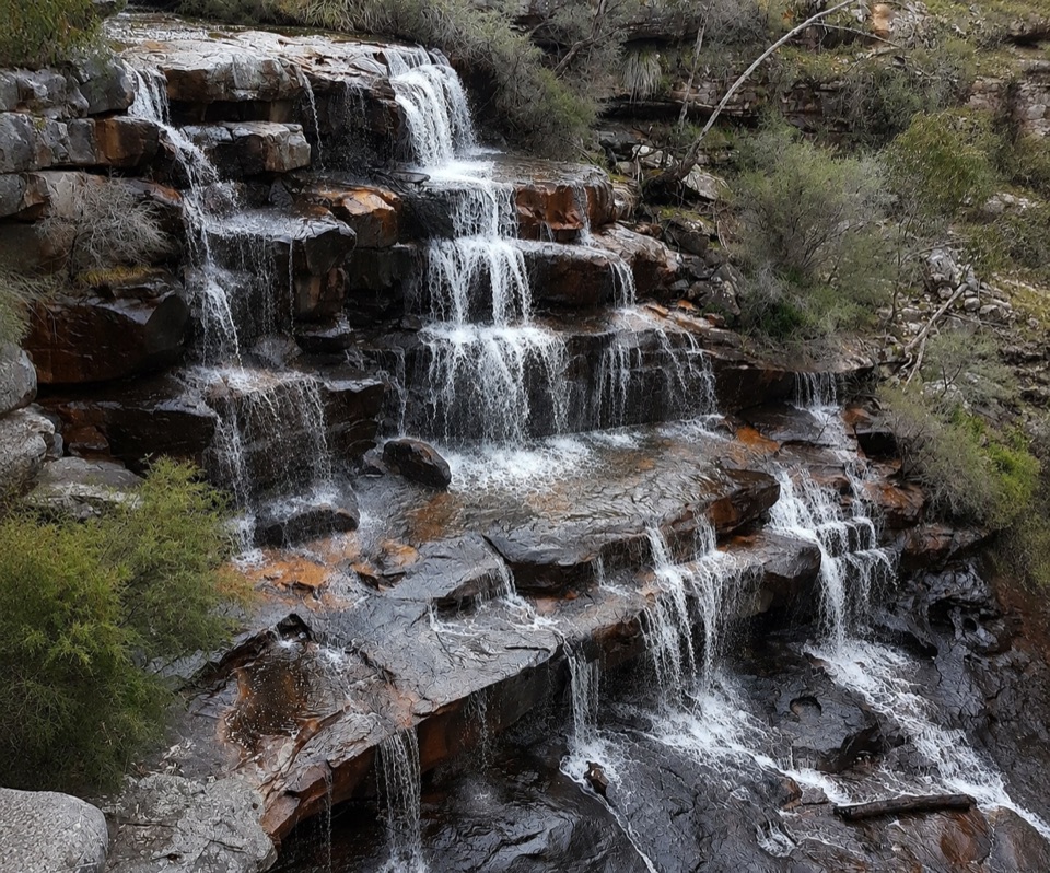 ModerateBurrong Falls Walk0.7 km · 1 hr · 5.3 km awayShort bush track to terraced cascades and gorge-side rock pools
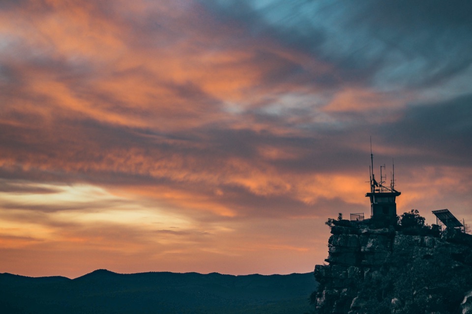 EasyReed Lookout Walk0.5 km · 10 min · 5.3 km awayTen minutes return to a fire tower and Victoria Valley views
 EasyThe Balconies Walk2.2 km · 1 hr · 5.4 km awayGentle gravel stroll to sandstone platforms above a misty valley
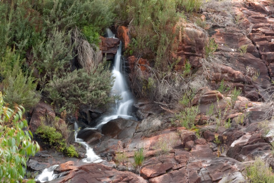 Sight · 0.1 km awayBroken Falls LookoutA short accessible walk to sweeping Broken Falls views
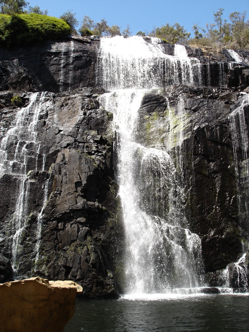 Sight · 0.3 km awayMacKenzie Falls (Migunang wirab)A thunderous year-round waterfall with a steep stair climbSight · 1 km awayFish FallsTerraced cascades tucked along a quiet gorge walk
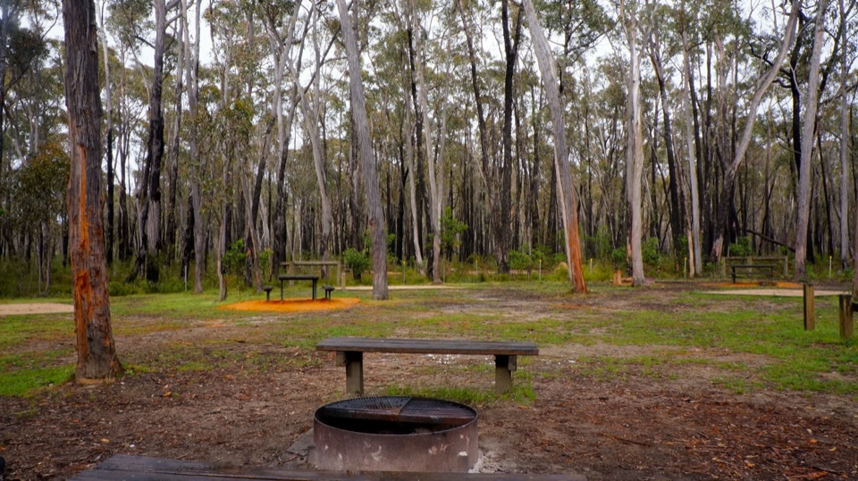 Campground · 1 km awaySmiths Mill CampgroundA shady woodland camp with fire rings and waterfall access
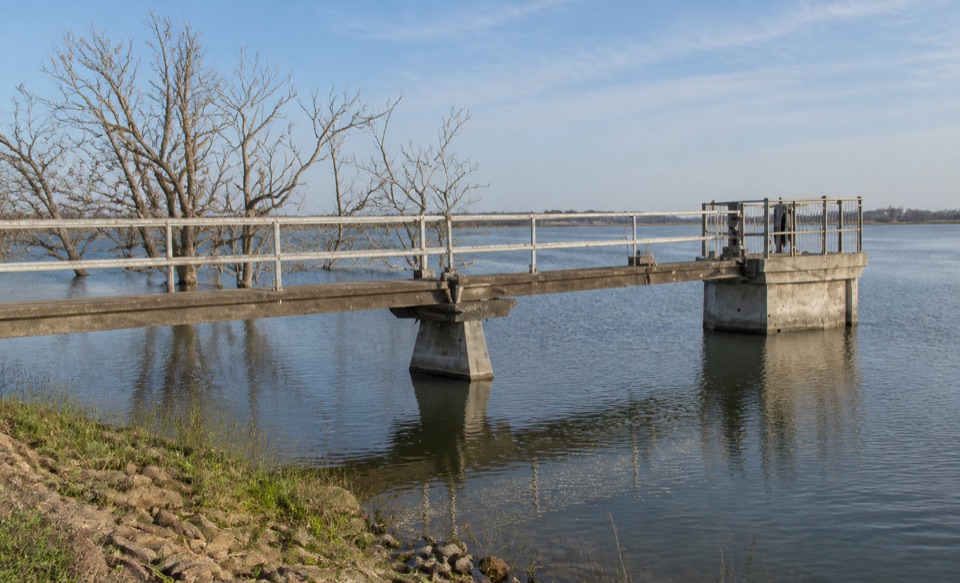 Sight · 2.8 km awayLake WartookA quiet reservoir with a dam, boat ramp, and mountain reflections
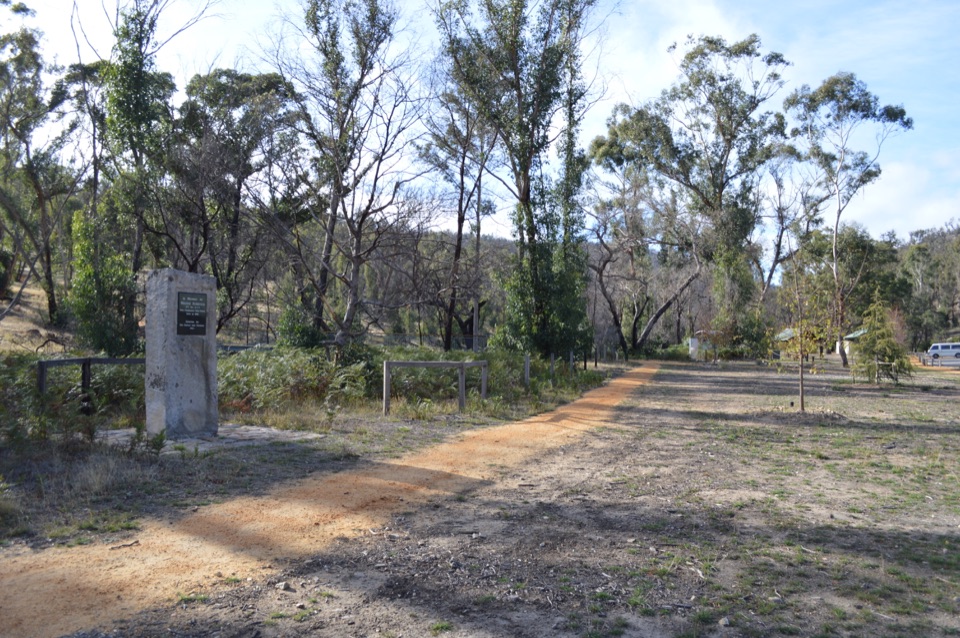 Sight · 2.9 km awayZumsteins Historic AreaRiverside picnic stop with rare pise cottages and a history walk
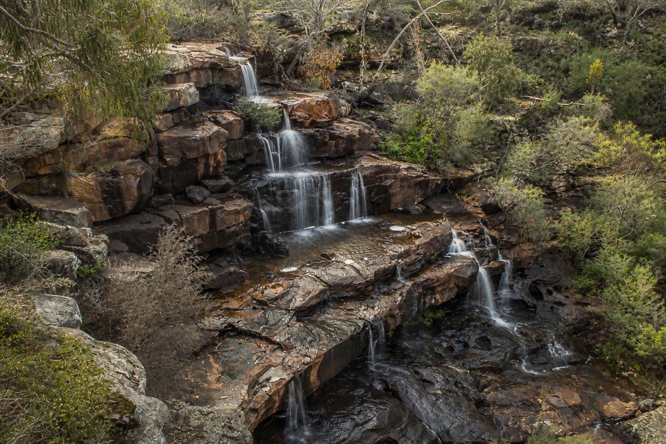 Sight · 5.1 km awayBurrong FallsTerraced cascades over sandstone steps in a quiet bush settingSight · 5.2 km awayReeds LookoutWide Victoria Valley views from a very short uphill walk
Parkwolf’s Grampians ranking
The audio tour guide for the drive, plus offline maps, trails, and wildlife heatmaps for when the signal drops.