Parking
Limited parking at Cassidy Gap Road Trailhead; drop-offs are encouraged. This is a one-way hike, so arrange a vehicle shuffle between Dunkeld and Cassidy Gap Road or use a licensed transfer.

Grampians National Park, VIC
Ridge summits, a hike-in camp, then Red Gum woodland into Dunkeld
Overview
A one-way, two-day traverse of 22.1 km at the southern end of the Grampians Peaks Trail, running from the Cassidy Gap Road Trailhead to the town of Dunkeld. All distances here are one-way, split officially as 7.3 km on day 1 and 14.8 km on day 2, with roughly 17 hours of walking spread across the two days and one night in camp. Mapping of the stored route gives 21.84 km, close enough to the rounded official figure. This is not a day walk, and it is not the longer three-day itinerary that adds the Djardji-djawara section.
Map & elevation
Plan your hike

The highest, rockiest slopes around here are a summer buffet for grizzly bears.
Grampians Tour Guide
Parkwolf is a GPS audio tour guide for Grampians National Park. As you drive, it chimes in with what’s ahead: hidden gems, upcoming stops, history, geology, and wildlife, right through your car’s speakers.
Recorded for this trailhead
Cassidy Gap: The Mud-Dadjug Overnight Hike“Cassidy Gap Trailhead is coming up, where the Mud-Dadjug overnight hike sets off toward Dunkeld. This is a hard, 22-kilometre trip over two days, with Signal Peak and Mount Abrupt providing the big summit views.”
Plays as you drive up to this trailhead in the Parkwolf Grampians Tour Guide.
More stories near here in the app
“Fantastic app with many points of information… It’s great to just turn on while you’re driving and it gives you an audio tour of the national Park. We love it!!!!”


Trail guide
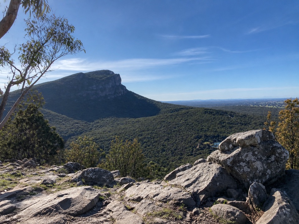
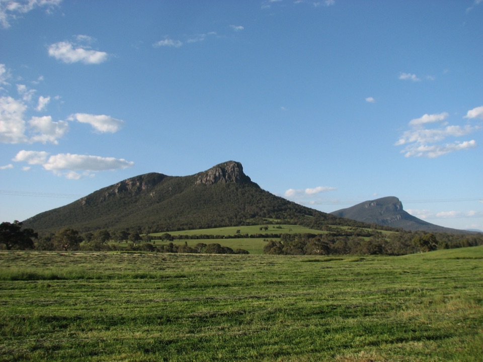
A short but front-loaded day. The track climbs through rocky shrubland to Signal Peak, then traverses escarpment edges to the bare rocky summit of Mud-Dadjug (Mt Abrupt) before dropping to the hike-in campground. The views from Signal Peak and Mud-Dadjug are the reason people walk this section, taking in the Serra Range, the Southern Grampians and the volcanic plains and farmland spread out below. Vegetation shifts from heath and stunted montane plants to more sheltered growth as you lose height.
The longer day. You cross Bainggug (The Piccaninny), climb Wurgarri (Mt Sturgeon) for the last of the high views, then make a sustained descent into open Red Gum woodland. Bridges and a crossing of the Wannon River lead the final stretch into Dunkeld. Start early enough to be down before dusk, since the second half is long and the light goes quickly in the woodland.
Graded Grade 4 on the Australian walking track system, and about 8/10 in practical terms. Expect steep and uneven rock steps, boulder sections, loose and slippery surfaces when wet, and long stretches of exposed rock on the summits and escarpments. Suited to experienced hikers who are comfortable carrying overnight gear over rough ground. Weather can change what the high ridges feel like, so treat the exposed sections as the part of the walk that dictates your plan.
The walk itself is free, but the Mud-Dadjug Hike-in Campground must be booked and carries a camping fee. Facilities are basic and adequate:
Fuel stoves are permitted; open campfires are not. Carry a reliable way to filter or treat tank water, and carry more water than you think you need, since tanks can run low. The setting earns its good reputation, but the site sits high and can be very windy, so bring a tent you trust and peg it properly.
The walk is one-way, so plan the logistics before you plan the walking. Parking at Cassidy Gap Road is limited and drop-offs are encouraged. Either arrange a vehicle shuffle between Dunkeld and Cassidy Gap Road or use a licensed transfer. The finish in Dunkeld makes the town the natural base. Ordinary dogs are not allowed in the national park; assistance dogs fall under separate rules.
Most of the best views on day 1 can be reached on the shorter Mt Abrupt (Mud-Dadjug) Walk, which is the sensible alternative if you want the summit outlook without the overnight commitment, the pack weight or the vehicle shuffle. Outside busier periods this traverse tends to see relatively light traffic, which is part of its appeal if you do commit.
Wildlife
 157 sightingsShort-beaked EchidnaMost seen around 6 PMSighting map
 37 sightingsPowerful OwlMost seen around 6 PMSighting map
 59 sightingsWedge-tailed EagleMost seen around 11 AMSighting map
 24 sightingsEastern Brown SnakeMost seen around 11 AMSighting map
 10 sightingsTiger SnakeMost seen around noonSighting map
 29 sightingsRed-bellied Black SnakeMost seen around 11 AMSighting map
Sighting maps show where each species has been reported across Grampians. Wildlife moves, so no sighting is guaranteed.
Keep exploring
ChallengingMt Abrupt (Mud-dadjug) Walk6.5 km · 3 hr · 2.8 km awayA steep sandstone climb to ridge-top views over the Serra Range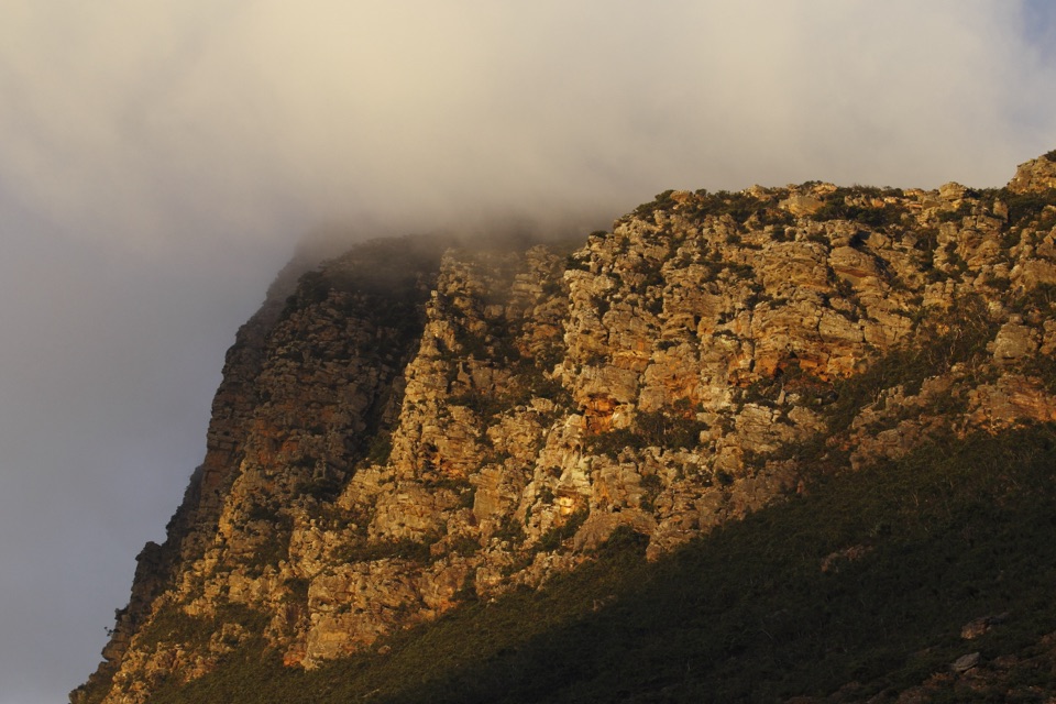 ChallengingSignal Peak Walk7.8 km · 3.5 hr · 2.8 km awayRock-hopping climb beneath a sandstone escarpment to Serra Range views
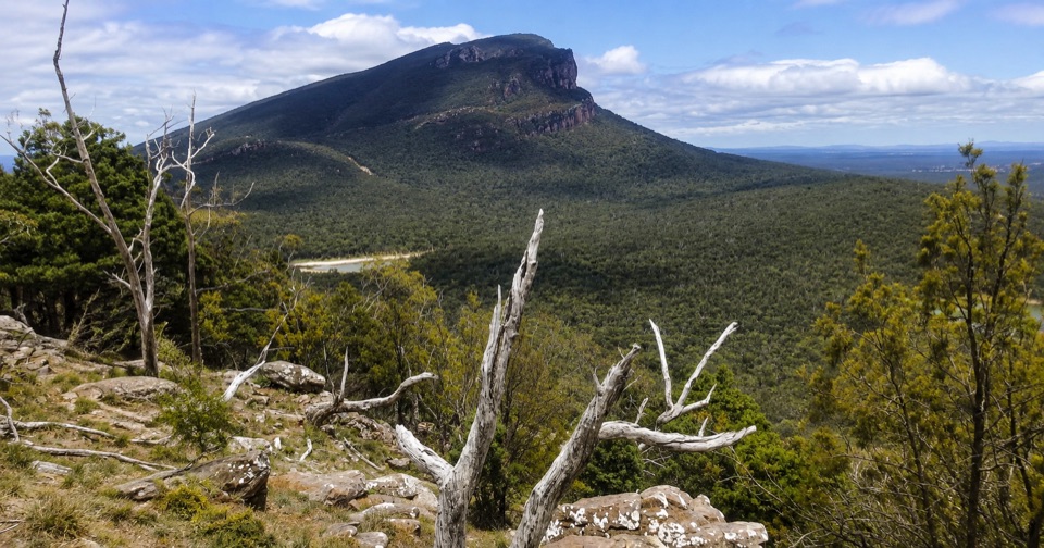 ModerateThe Piccaninny (Bainggug) Walk2.4 km · 1.3 hr · 6.1 km awayShort woodland climb to summit views over Dunkeld and Mud-dadjug
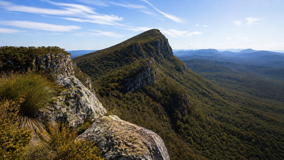 ChallengingMt Sturgeon (Wurgarri) Walk7 km · 3 hr · 7.5 km awaySteep rocky climb to a wind-shaped summit above Dunkeld
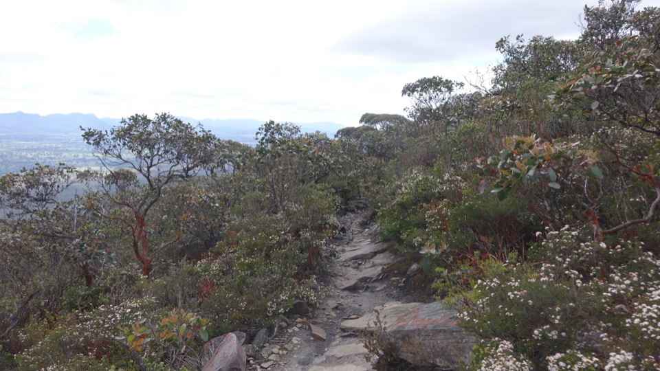 ChallengingDjardji-djawara and Mud-dadjug 3-day Hike33.4 km · 18 hr · 7.9 km awaySkyline traverse over Signal Peak and Mt Abrupt, finishing in Dunkeld
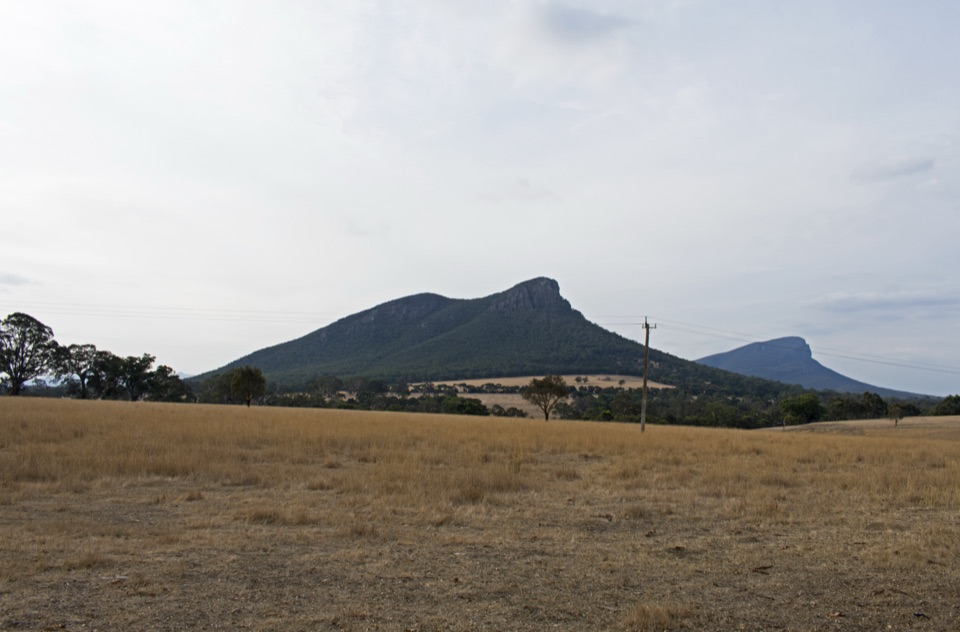 EasyDunkeld to Mount Sturgeon Discovery Trail3.1 km · 48 min · 9.3 km awayGentle 3 km town path ending beneath Mount Sturgeon and Mount Abrupt
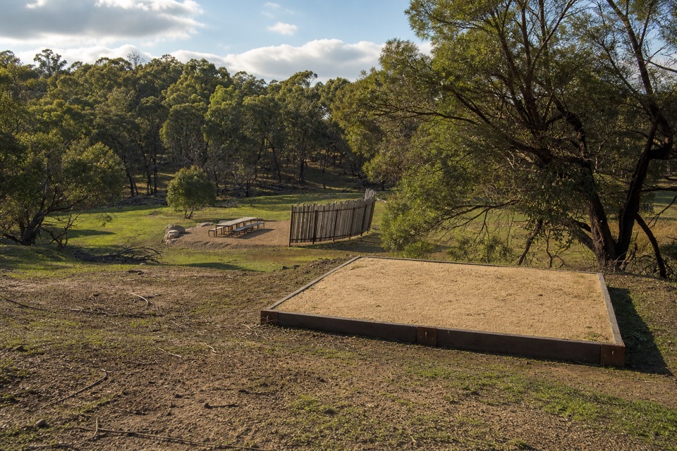 ChallengingWannon Overnight Hike12.1 km · 7 hr · 16.9 km awaySix knolls, wetland edges, and one night in a quiet grassy gully
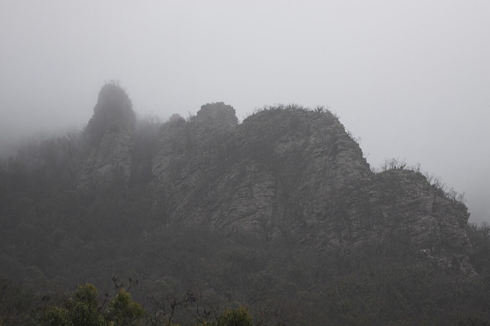 ChallengingThe Chimney Pots Walk3.7 km · 1.8 hr · 22.7 km awayShort, steep sandstone loop with scrambly ledges and big ridge views
Parkwolf’s Grampians ranking

The audio tour guide for the drive, plus offline maps, trails, and wildlife heatmaps for when the signal drops.