Parking
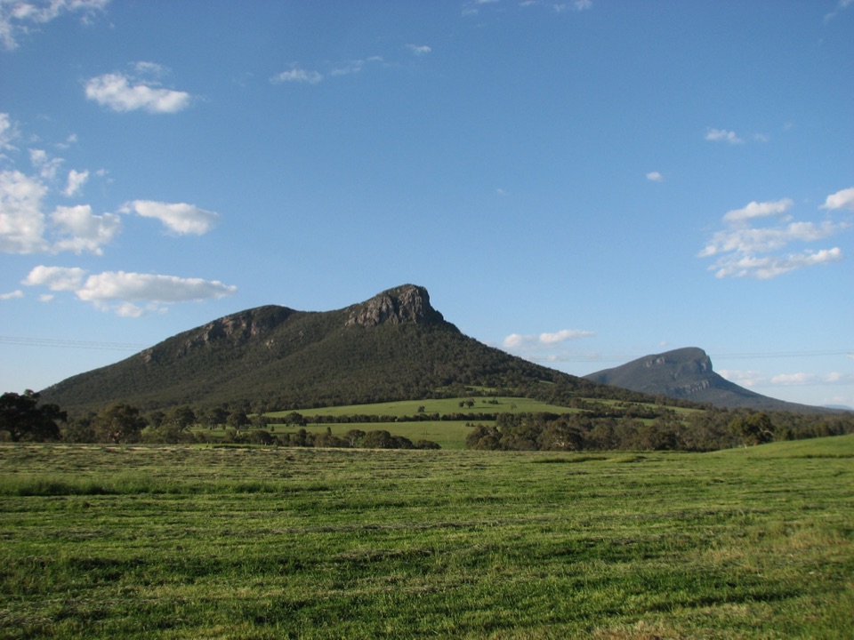
Mount Abrupt Carpark on Grampians Tourist Road; cross the road at the signed start. The carpark is a small gravel area.
Grampians National Park, VIC
Rock-hopping climb beneath a sandstone escarpment to Serra Range views
Overview
Map & elevation
Plan your hike

The highest, rockiest slopes around here are a summer buffet for grizzly bears.
Grampians Tour Guide
Parkwolf is a GPS audio tour guide for Grampians National Park. As you drive, it chimes in with what’s ahead: hidden gems, upcoming stops, history, geology, and wildlife, right through your car’s speakers.
Recorded for this trailhead
Mount Abrupt: Above the Southern Plains“You're coming up on Mount Abrupt Carpark, the starting point for a steep climb above the southern plains.”
Plays as you drive up to this trailhead in the Parkwolf Grampians Tour Guide.
More stories near here in the app
“Fantastic app with many points of information… It’s great to just turn on while you’re driving and it gives you an audio tour of the national Park. We love it!!!!”


Trail guide
From the carpark, cross Grampians Tourist Road and follow the signs for Mount Abrupt and Signal Peak. The track climbs steadily through low forest and crosses ground reshaped by the 2011 landslides. At about 1.7 km, turn right at the junction, then continue roughly 2.2 km beneath a rocky escarpment, through a saddle where the trees grow taller, and up the drier western slopes through heath to the Signal Peak summit. Return by the same route.
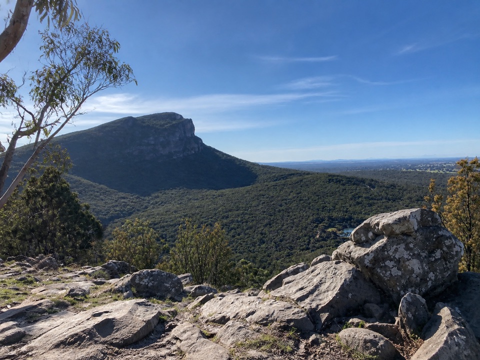
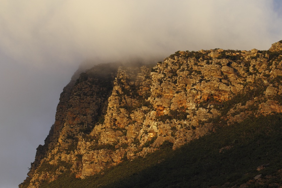
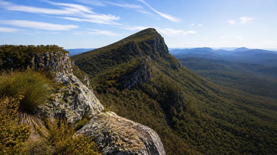
Weathered layered sandstone dominates the middle section, with the escarpment rising close beside the track. The saddle gives a short change of character under taller trees before the open, heathy western slopes. From the summit the reward is broad ridgeline and valley outlook across the Serra Range.
This is a sustained climb with challenging steep sections. Expect rocky steps, uneven footing and stretches of rock hopping, plus surfaces that turn slippery when wet. The higher ground includes exposed rocky outcrops, so take extra care on the summit approach and in poor weather.
The start is a small gravel parking area signed as Mount Abrupt Carpark on Grampians Tourist Road. Pets are not allowed, as dogs are prohibited in Victorian national parks apart from assistance dogs.
Mount Abrupt is a separate, longer peak walk from the same general area if you want a bigger day. It is not included in the 7.8 km return distance described here.
Wildlife
 157 sightingsShort-beaked EchidnaMost seen around 6 PMSighting map
 37 sightingsPowerful OwlMost seen around 6 PMSighting map
 59 sightingsWedge-tailed EagleMost seen around 11 AMSighting map
 24 sightingsEastern Brown SnakeMost seen around 11 AMSighting map
 10 sightingsTiger SnakeMost seen around noonSighting map
 29 sightingsRed-bellied Black SnakeMost seen around 11 AMSighting map
Sighting maps show where each species has been reported across Grampians. Wildlife moves, so no sighting is guaranteed.
Keep exploring
 ChallengingMt Abrupt (Mud-dadjug) Walk6.5 km · 3 hr · At the trailheadA steep sandstone climb to ridge-top views over the Serra RangeChallengingMud-Dadjug Overnight Hike22.1 km · 17 hr · 2.8 km awayRidge summits, a hike-in camp, then Red Gum woodland into Dunkeld
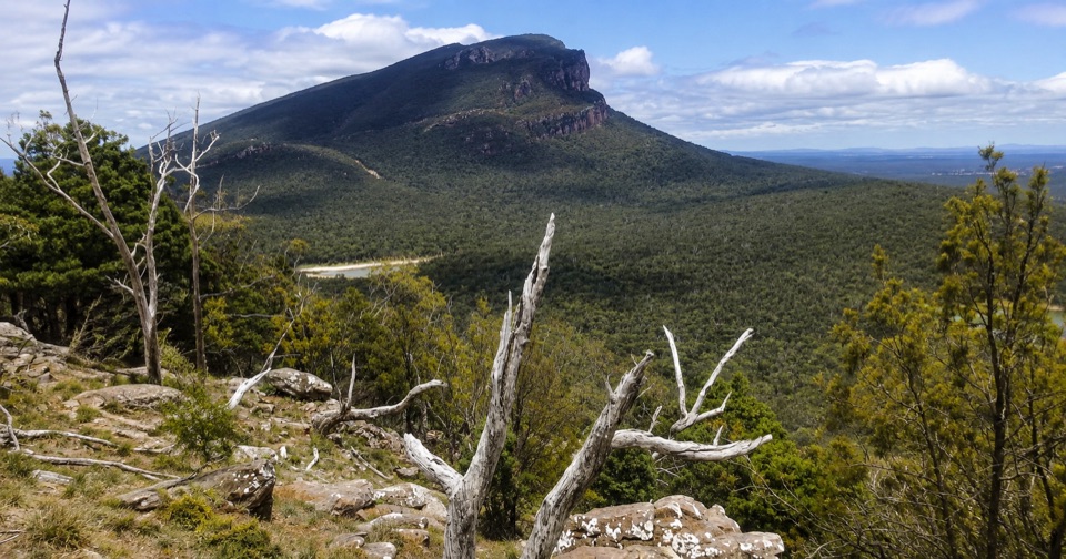 ModerateThe Piccaninny (Bainggug) Walk2.4 km · 1.3 hr · 3.5 km awayShort woodland climb to summit views over Dunkeld and Mud-dadjug
 ChallengingMt Sturgeon (Wurgarri) Walk7 km · 3 hr · 4.9 km awaySteep rocky climb to a wind-shaped summit above Dunkeld
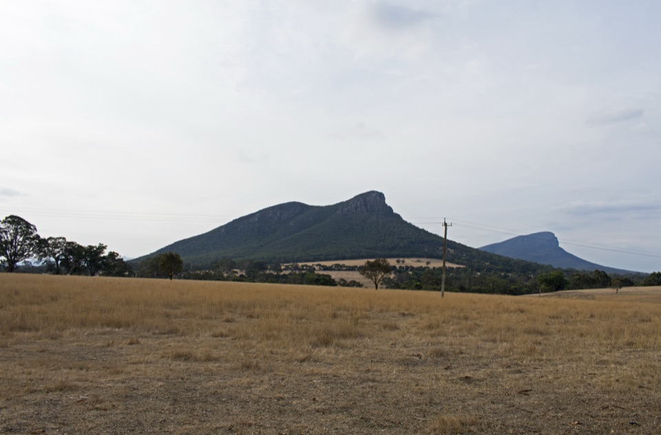 EasyDunkeld to Mount Sturgeon Discovery Trail3.1 km · 48 min · 6.6 km awayGentle 3 km town path ending beneath Mount Sturgeon and Mount Abrupt
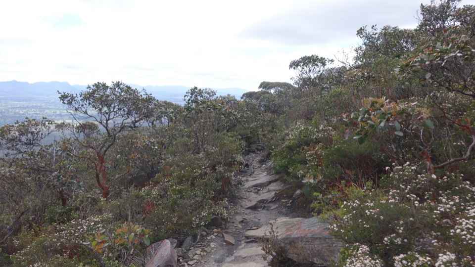 ChallengingDjardji-djawara and Mud-dadjug 3-day Hike33.4 km · 18 hr · 10.6 km awaySkyline traverse over Signal Peak and Mt Abrupt, finishing in Dunkeld
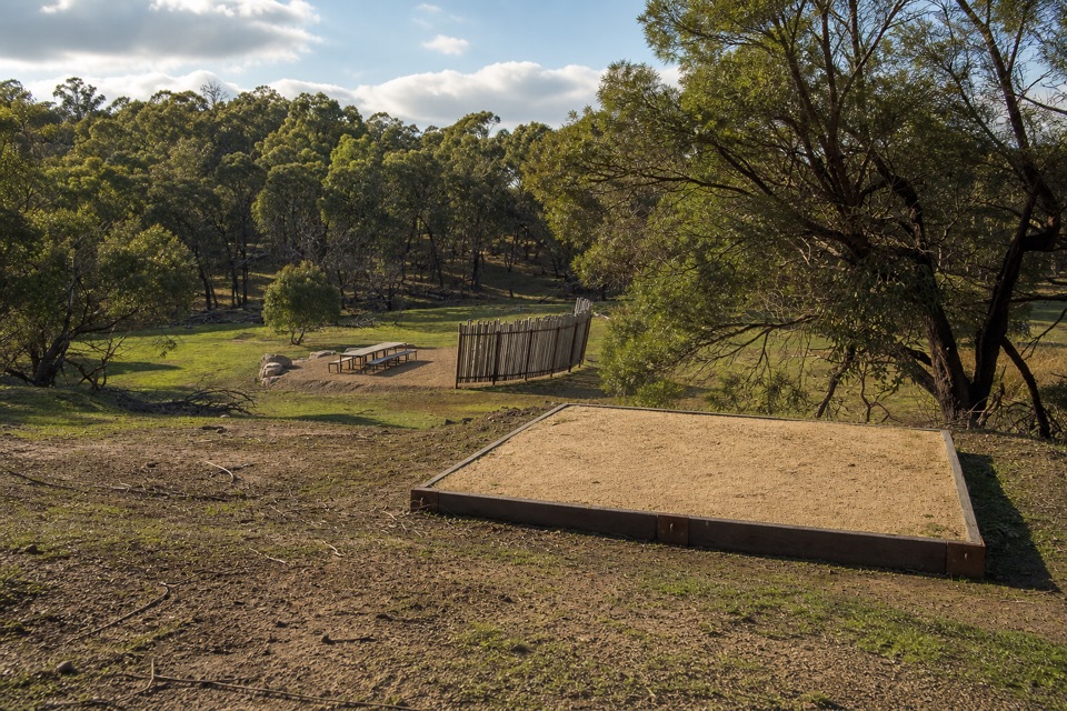 ChallengingWannon Overnight Hike12.1 km · 7 hr · 19.5 km awaySix knolls, wetland edges, and one night in a quiet grassy gully
Parkwolf’s Grampians ranking

The audio tour guide for the drive, plus offline maps, trails, and wildlife heatmaps for when the signal drops.