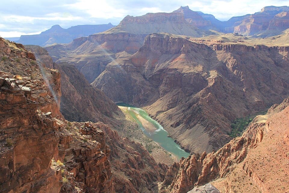
Parking
Use the Greenland Lake pullout on Cape Royal Road. Its capacity and facilities are not documented. The road is usually seasonal, generally open from mid-May through November when weather allows.
Grand Canyon National Park, AZ
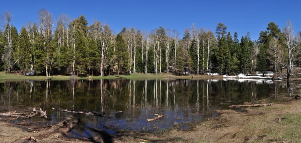
A quick detour from Cape Royal Road to Greenland Lake.
Overview
Map & elevation
Plan your hike

The highest, rockiest slopes around here are a summer buffet for grizzly bears.
Grand Canyon Tour Guide
Parkwolf is a GPS audio tour guide for Grand Canyon National Park. As you drive, it chimes in with what’s ahead: hidden gems, upcoming stops, history, geology, and wildlife, right through your car’s speakers.
See the Grand Canyon audio tourRecorded for this trailhead
Greenland Lake’s Limestone Basin“You're coming up on the Greenland Lake pullout, a chance for a short forest walk away from canyon overlooks.”
Plays as you drive up to this trailhead in the Parkwolf Grand Canyon Tour Guide.
More stories near here in the app
“Fantastic app with many points of information… It’s great to just turn on while you’re driving and it gives you an audio tour of the national Park. We love it!!!!”


Trail guide
Greenland Lake Trail is a 0.3-mile out-and-back from the roadside pullout on Cape Royal Road to a small lake in a forest opening. The mapped path is about 0.15 mile each way, so the total counts the return on the same route. Allow 30–60 minutes if you want time at the lake. I'd stop here for a short nature break, not as one of the day's main hikes.
A narrow dirt path winds through aspens and conifers before opening into a grassy basin. The lake is small, and its water level varies: some photos show a shallow pool amid tall grass, while others show more water. The route evidence doesn't establish a maintained shoreline loop, so the mapped walk goes to the lake and back rather than circling the basin.
Look for the sign about karst topography and sinkholes. Rain works through cracks in the water-soluble Kaibab Limestone, gradually dissolving underground chambers. When a chamber collapses, the depression can collect soil and mud that seal its bottom and hold water. Greenland Lake is one of the small lakes formed this way on the Kaibab Plateau.
Start at the Greenland Lake pullout on Cape Royal Road. The road is usually seasonal, generally open from mid-May through November when weather allows. On the North Rim, leashed pets are allowed only on the designated Bridle Trail and the Arizona Trail section by the entrance station, not on this route. Trail-specific drinking water and toilets at the pullout were not confirmed.
Wildlife
 718 sightingsCalifornia CondorMost seen around 5 PMSighting map
 533 sightingsBighorn SheepMost seen around 7 AMSighting map
 169 sightingsAmerican BisonMost seen around 7 PMSighting map
 1,891 sightingsElkMost seen around 6 AMSighting map
 59 sightingsCoyoteMost seen around 6 PMSighting map
 27 sightingsGray FoxMost seen around 6 AMSighting map
Sighting maps show where each species has been reported across Grand Canyon. Wildlife moves, so no sighting is guaranteed.
Keep exploring
 ModerateKomo Point Trail10 mi · 4.5 hr · 1 mi awayFollow a fading old road to a remote canyon rim.
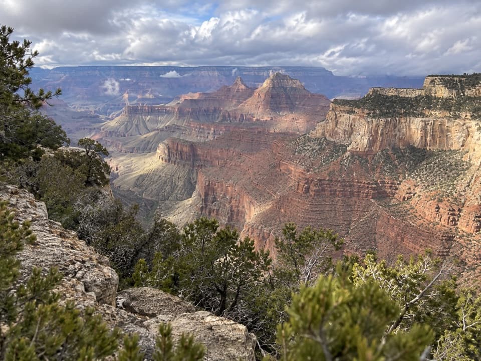 ChallengingAriel Point Trail12.2 mi · 6.5 hr · 1 mi awayA long North Rim walk to a rugged canyon projection.
 ModerateFrancois Matthes Trail10.7 mi · 5.5 hr · 2 mi awayA long former road to a brush-framed North Rim overlook.
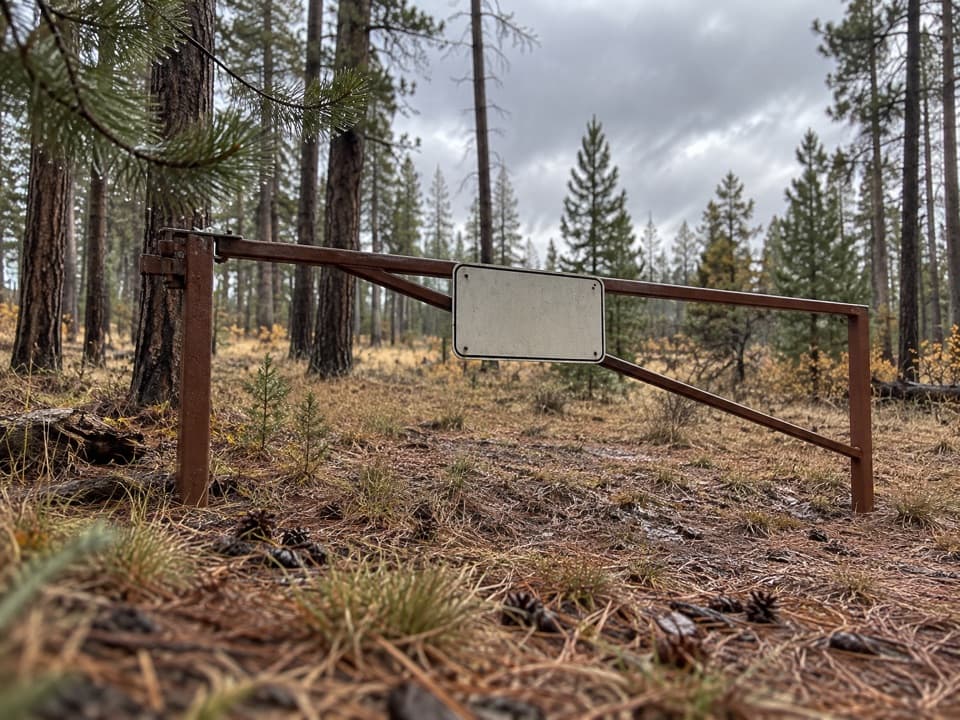 ModerateWalhalla Glades Trail15 mi · 6 hr · 2 mi awayA 15-mile out-and-back on Walhalla Plateau's old road.
 ChallengingKen Patrick Trail9.8 mi · 6 hr · 2.6 mi awayForest miles and big canyon views along the North Rim.
 ModeratePoint Imperial Trail5.2 mi · 2.8 hr · 2.6 mi awayA rim walk through the 2000 Outlet Fire burn.
 EasyRoosevelt Point Trail0.3 mi · 24 min · 2.7 mi awayA woodland loop opens to the Painted Desert and canyon views.
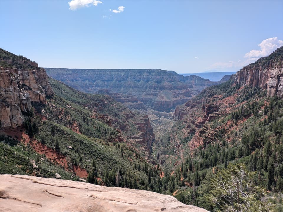 ChallengingNorth Kaibab Trail14.2 mi · 10.5 hr · 4.1 mi awayA steep, forested 14.2-mile descent to the Colorado River.
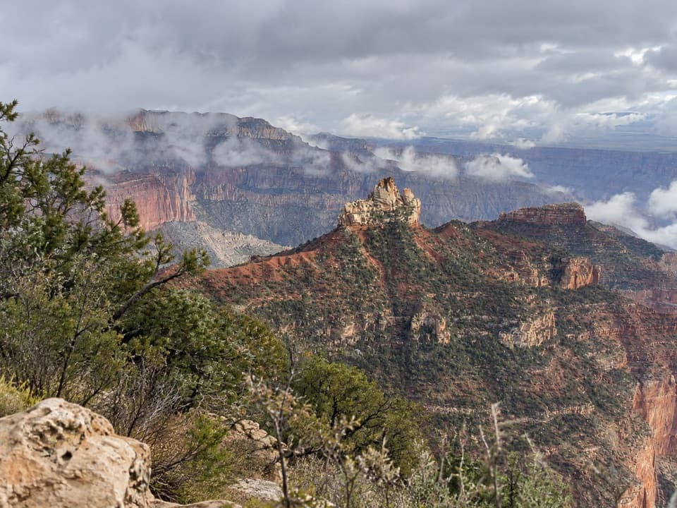 Picnic area · 1.3 mi awayVista EncantadaA pine-shaded picnic stop above the North Rim’s layered cliffs.
 Sight · 2.6 mi awayPoint ImperialThe North Rim's highest lookout opens onto the Painted Desert.
 Sight · 2.8 mi awayRoosevelt PointA short walk finishes at an east-facing canyon panorama.
 Sight · 3.9 mi awaySupai TunnelA four-mile hike to a tunnel framing streaked sandstone.
 Sight · 3.9 mi awayCoconino OverlookA steep 1.4-mile out-and-back earns a Roaring Springs Canyon view.
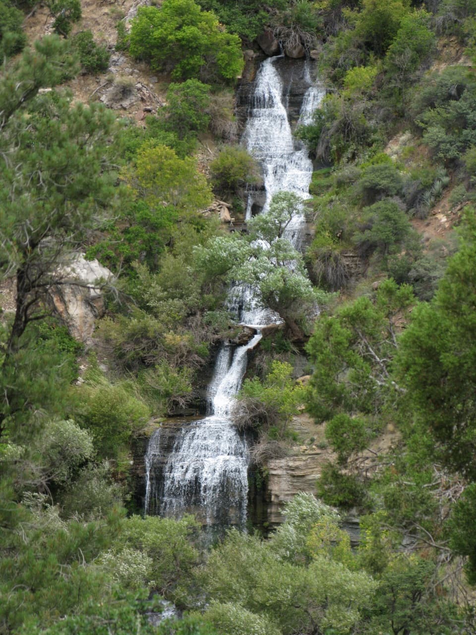 Sight · 4.1 mi awayRoaring SpringsA lush waterfall at the end of a steep canyon hike.
 Gas station · 4.3 mi awayNorth Rim Service StationA seasonal fill-up just beyond the campground turn.
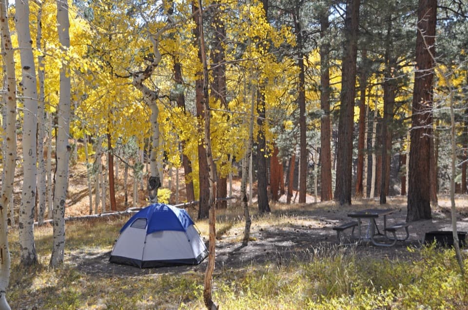 Campground · 4.5 mi awayNorth Rim CampgroundA forested base for a North Rim stay.
Parkwolf’s Grand Canyon ranking

The audio tour guide for the drive, plus offline maps, trails, and wildlife heatmaps for when the signal drops.