Parking
Start at the Walhalla Glades Trail junction on the Walhalla Plateau and return to the same parking area after the hike. Lot capacity and on-site facilities are not documented.

Grand Canyon National Park, AZ
A long former road to a brush-framed North Rim overlook.
Overview
Map & elevation
Plan your hike

The highest, rockiest slopes around here are a summer buffet for grizzly bears.
Grand Canyon Tour Guide
Parkwolf is a GPS audio tour guide for Grand Canyon National Park. As you drive, it chimes in with what’s ahead: hidden gems, upcoming stops, history, geology, and wildlife, right through your car’s speakers.
See the Grand Canyon audio tourRecorded for this trailhead
Walhalla Glades’ Old-Road Hike“The pull-off for Walhalla Glades Trail is ahead, the start of a long walk across the high plateau.”
Plays as you drive up to this trailhead in the Parkwolf Grand Canyon Tour Guide.
More stories near here in the app
“Fantastic app with many points of information… It’s great to just turn on while you’re driving and it gives you an audio tour of the national Park. We love it!!!!”


Trail guide
Francois Matthes Trail is a 10.7-mile out-and-back from the Walhalla Glades Trail junction to Francois Matthes Point, about 5.3 miles each way. It follows a former road southwest over the Walhalla Plateau through scattered pines, burned patches and open meadows, then returns along the same line. Allow about five and a half hours for the long walk at North Rim elevation. It suits hikers who enjoy a less-used route and a different angle on the canyon more than a developed viewpoint.
The broad roadbed is slowly being reclaimed by vegetation. At the Walhalla Connector, continue straight toward the point. The route descends steadily along a ridge, with a couple of steeper drops near the rim; you climb that ground on the way back. No dependable water source was confirmed along the route, so bring what you need. Access to North Rim scenic roads is seasonal and weather-sensitive.
Brush partly screens the view, but openings look toward Zoroaster Temple and Wotan's Throne, with Cheyava Falls and the Clear Creek drainage in the wider scene. Don't expect an unobstructed panorama. The foreground scrub can frame the canyon in a photo, and the payoff is a distinctive view of these formations from a quieter part of the North Rim.
The trail honors Francois E. Matthes, a geologist and expert topographic mapper. Leave pets behind: North Rim rules limit leashed pets to the Bridle Trail and a designated section of the Arizona Trail, not this route.
Wildlife
 718 sightingsCalifornia CondorMost seen around 5 PMSighting map
 533 sightingsBighorn SheepMost seen around 7 AMSighting map
 169 sightingsAmerican BisonMost seen around 7 PMSighting map
 1,891 sightingsElkMost seen around 6 AMSighting map
 59 sightingsCoyoteMost seen around 6 PMSighting map
 27 sightingsGray FoxMost seen around 6 AMSighting map
Sighting maps show where each species has been reported across Grand Canyon. Wildlife moves, so no sighting is guaranteed.
Keep exploring
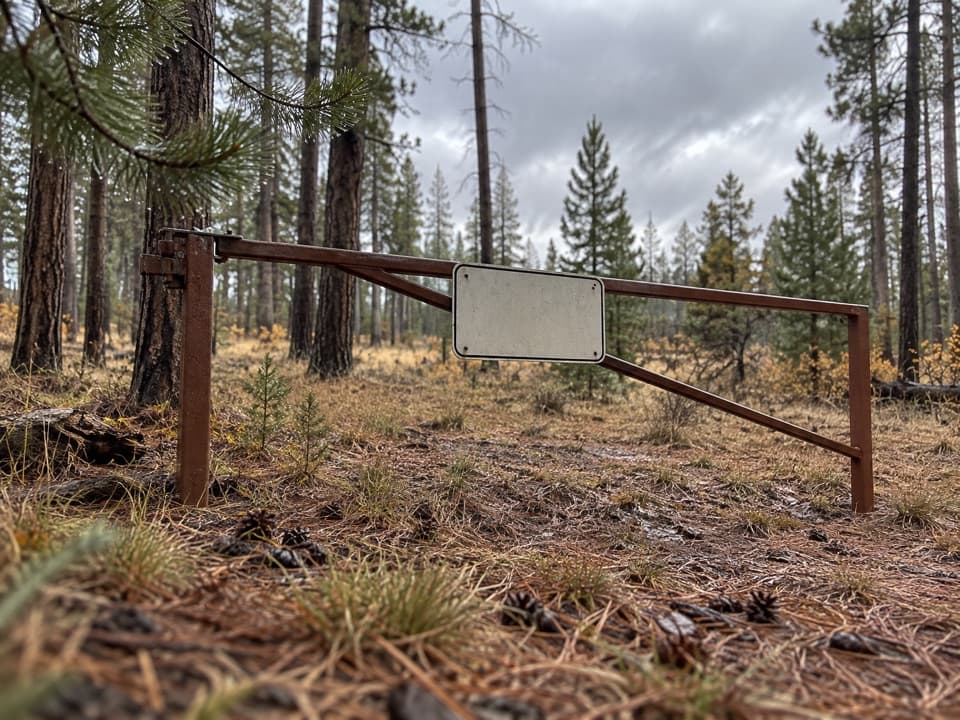 ModerateWalhalla Glades Trail15 mi · 6 hr · At the trailheadA 15-mile out-and-back on Walhalla Plateau's old road.
 EasyRoosevelt Point Trail0.3 mi · 24 min · 0.8 mi awayA woodland loop opens to the Painted Desert and canyon views.
 ModerateKomo Point Trail10 mi · 4.5 hr · 1.1 mi awayFollow a fading old road to a remote canyon rim.
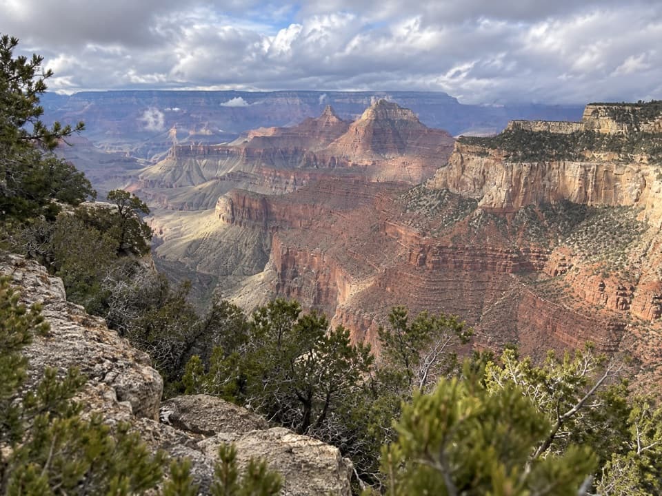 ChallengingAriel Point Trail12.2 mi · 6.5 hr · 1.1 mi awayA long North Rim walk to a rugged canyon projection.
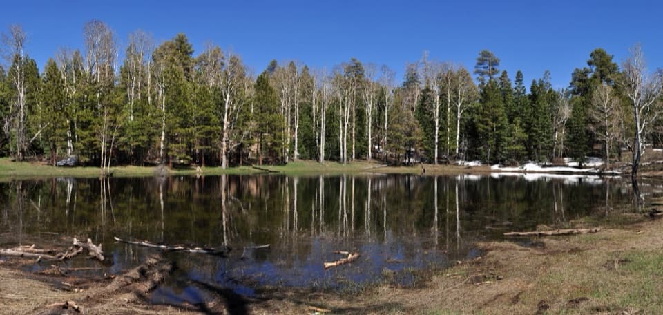 EasyGreenland Lake Trail0.3 mi · 45 min · 2 mi awayA quick detour from Cape Royal Road to Greenland Lake.
 ModerateWalhalla Spur Trail5.4 mi · 3 hr · 3.3 mi awayA remote, rough forest track across the Walhalla Plateau.
 ChallengingKen Patrick Trail9.8 mi · 6 hr · 3.9 mi awayForest miles and big canyon views along the North Rim.
 ModeratePoint Imperial Trail5.2 mi · 2.8 hr · 4 mi awayA rim walk through the 2000 Outlet Fire burn.
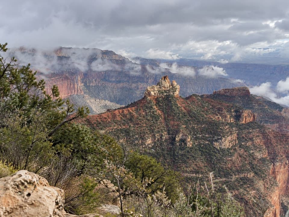 Picnic area · 0.7 mi awayVista EncantadaA pine-shaded picnic stop above the North Rim’s layered cliffs.
 Sight · 0.8 mi awayRoosevelt PointA short walk finishes at an east-facing canyon panorama.
 Sight · 3.9 mi awayPoint ImperialThe North Rim's highest lookout opens onto the Painted Desert.
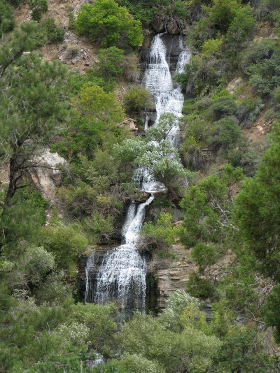 Sight · 4.3 mi awayRoaring SpringsA lush waterfall at the end of a steep canyon hike.
 Sight · 4.7 mi awaySupai TunnelA four-mile hike to a tunnel framing streaked sandstone.
 Sight · 4.9 mi awayCoconino OverlookA steep 1.4-mile out-and-back earns a Roaring Springs Canyon view.
 Sight · 5.1 mi awayBright Angel PointA high rim panorama framed by the canyon’s temple buttes.
 Gas station · 5.3 mi awayNorth Rim Service StationA seasonal fill-up just beyond the campground turn.
Parkwolf’s Grand Canyon ranking

The audio tour guide for the drive, plus offline maps, trails, and wildlife heatmaps for when the signal drops.




