Parking
Start at the gate at the end of Forest Road 292A, at the Bill Hall Trailhead; follow the rim west toward Monument Point to reach the canyon descent. Access uses lengthy, rough unpaved forest roads, and no trailhead services are listed.

Grand Canyon National Park, AZ
A strenuous three-day loop linking Thunder River and Deer Creek.
Overview
Map & elevation
Plan your hike

The highest, rockiest slopes around here are a summer buffet for grizzly bears.
Grand Canyon Tour Guide
Parkwolf is a GPS audio tour guide for Grand Canyon National Park. As you drive, it chimes in with what’s ahead: hidden gems, upcoming stops, history, geology, and wildlife, right through your car’s speakers.
See the Grand Canyon audio tour“Fantastic app with many points of information… It’s great to just turn on while you’re driving and it gives you an audio tour of the national Park. We love it!!!!”


Trail guide
Thunder River–Deer Creek Loop is a strenuous 24.1-mile circuit from Bill Hall Trailhead near Monument Point, usually backpacked over three days. It descends to the Esplanade and Surprise Valley, visits Thunder River and Tapeats Creek, crosses the rugged river-side connector, then climbs Deer Creek and returns by Surprise Valley. The recorded line closes at the same rim access. The 24.1-mile total is an estimate from published trail-segment mileages plus the mapped connector; the mapped line measures 23.1 miles. A separate 27.9-mile figure does not make clear whether it follows this connector or includes the optional falls spur, so it is not directly comparable. The stored distance excludes the optional 1.4-mile round trip from Deer Creek campsite to Deer Creek Falls and the Colorado River.
The rim approach includes a short, roughly 15-foot scramble where lowering packs can help. Below it, steep switchbacks cross the canyon’s rock layers to broad Esplanade slickrock and small drainages; cairns matter where the tread fades over stone. The descent into Surprise Valley is long, rough and exposed. Heat builds quickly there, so the park advises avoiding entry after 10 a.m. in warm weather. Expect the return climb to feel substantial after the lower canyon miles. Carry a detailed offline map and follow the cairned junctions; this remote route is not a marked, tread-only loop.
This connector is the part that makes the hike a loop. It leaves the lower Tapeats area and traverses broken, steep rock toward Deer Creek, including genuine hand-and-toe climbing and a precarious descent. A light 25-foot rope is useful for lowering packs. Tapeats Creek crossings can become impossible in high flow; the alternative on the west side is narrow and exposed and is described only as a last resort. Do not continue through unsafe water. The loop does not take the technical route through Deer Creek Narrows; climbing or rappelling in the narrows is prohibited, while the established trail between the river and camps remains available.
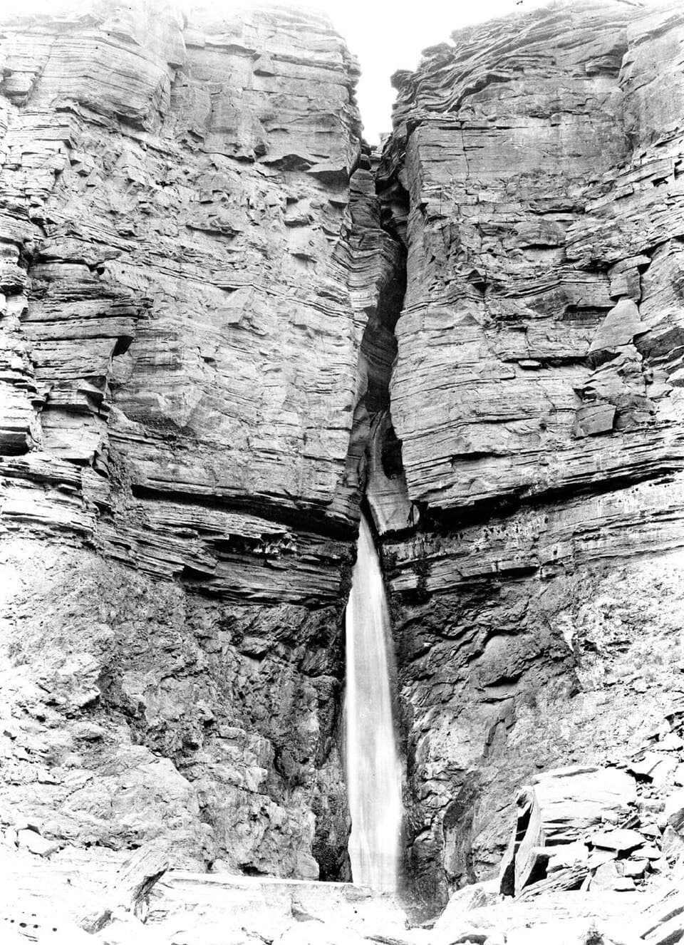
Thunder River bursts from the Redwall in cascades, and the route then follows the green corridor of Tapeats Creek. Deer Spring and the creeks are permanent water sources in a landscape with long dry stretches; treat natural water before drinking. Upper Tapeats and Deer Creek have designated campsites with toilets; Lower Tapeats has no toilet, and the Esplanade and Surprise Valley have designated at-large camping zones. Overnight camping below the rim requires a Grand Canyon backcountry permit. Ordinary pets are not allowed below the rim; service animals assisting visitors with disabilities are permitted.
The drive to the remote start follows long, rough, unpaved forest roads. The trailhead is at the gate at the end of Forest Road 292A; bring supplies and do not count on services at the start. Bill Hall was a seasonal North Rim ranger who died in a 1979 vehicle accident, and the route bears his name. On the descent, the layered formations mark the transition from the forested rim to the broad Esplanade and the spring-fed inner canyon; the water and shade are a striking change after the exposed valley.
Wildlife
 718 sightingsCalifornia CondorMost seen around 5 PMSighting map
 533 sightingsBighorn SheepMost seen around 7 AMSighting map
 169 sightingsAmerican BisonMost seen around 7 PMSighting map
 1,891 sightingsElkMost seen around 6 AMSighting map
 59 sightingsCoyoteMost seen around 6 PMSighting map
 27 sightingsGray FoxMost seen around 6 AMSighting map
Sighting maps show where each species has been reported across Grand Canyon. Wildlife moves, so no sighting is guaranteed.
Keep exploring
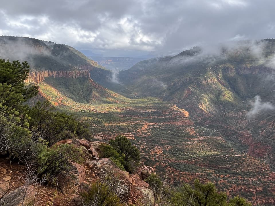 ChallengingBill Hall Trail5 mi · 6 hr · At the trailheadA rugged descent to the Esplanade with a 15-foot scramble.
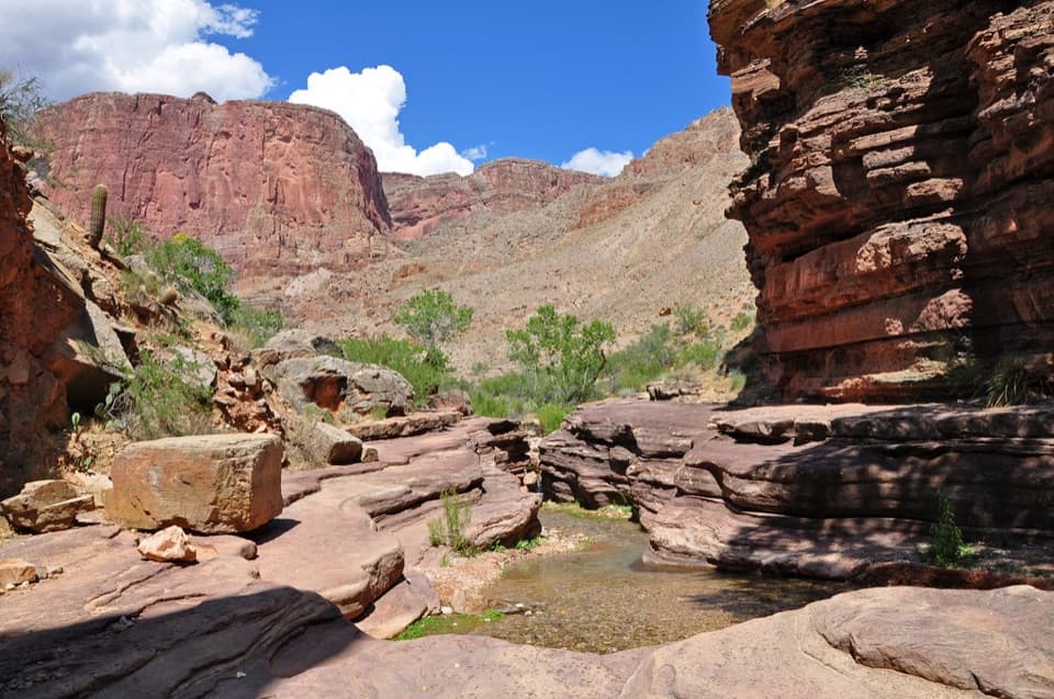 ChallengingDeer Creek Trail to Deer Creek Falls20.4 mi · 13.5 hr · At the trailheadA long rim-to-river hike to Deer Creek Falls
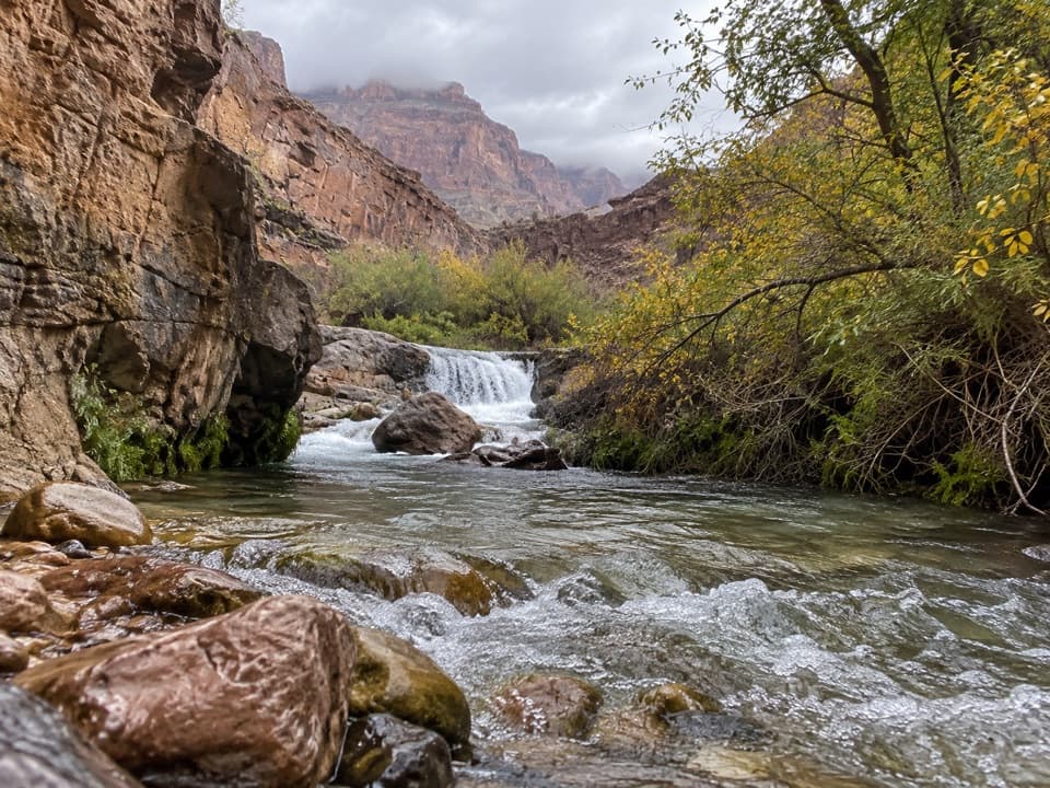 ChallengingTapeats Creek Trail2.2 mi · 2.5 hr · 3.2 mi awayA green canyon corridor with two serious creek crossings.
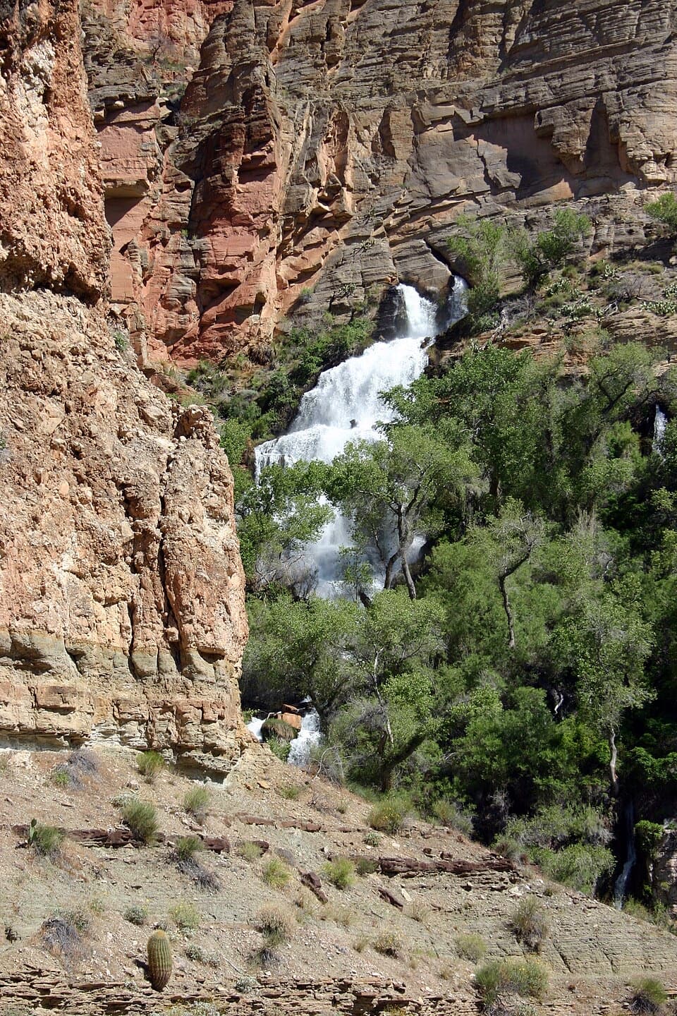 ChallengingThunder River Trail from Indian Hollow25.8 mi · 20 hr · 3.7 mi awayA rugged backcountry drop to Thunder River's spring-fed cascadesChallengingTapeats Creek to Deer Creek Traverse7.6 mi · 8 hr · 4.9 mi awayA full-day river traverse links Thunder River with Deer Creek.
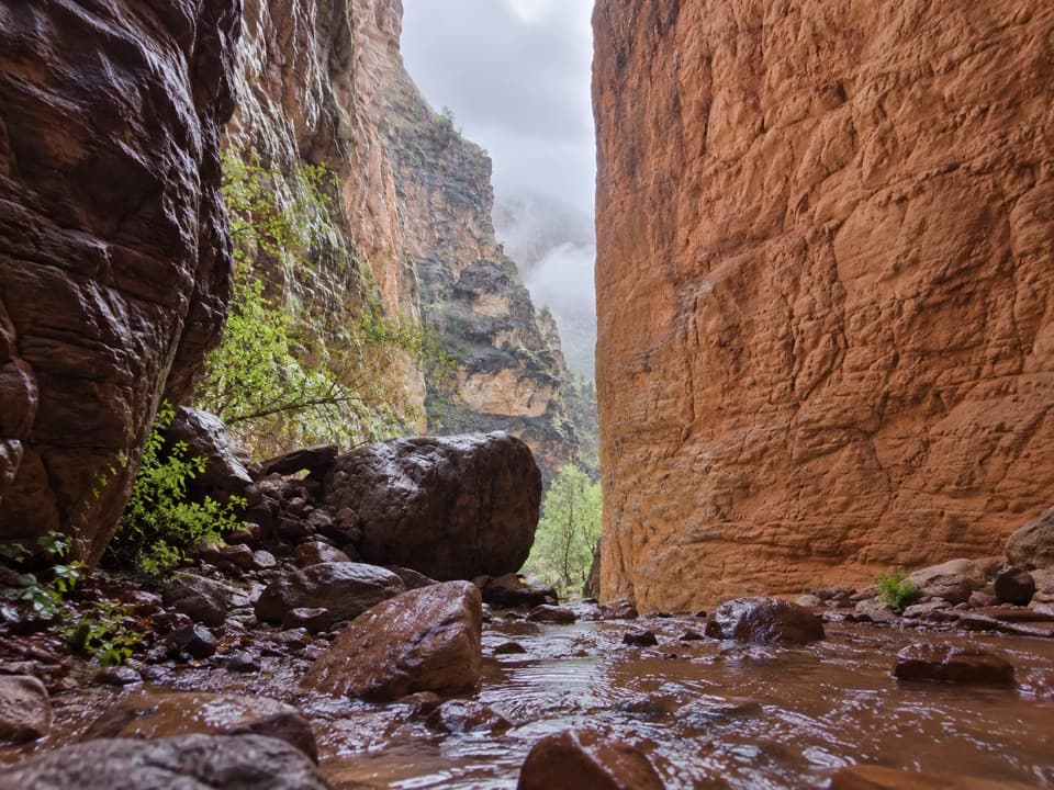 EasyStone Creek Trail0.5 mi · 30 min · 6.2 mi awayA short river stop for a fern-lined waterfall refuge.
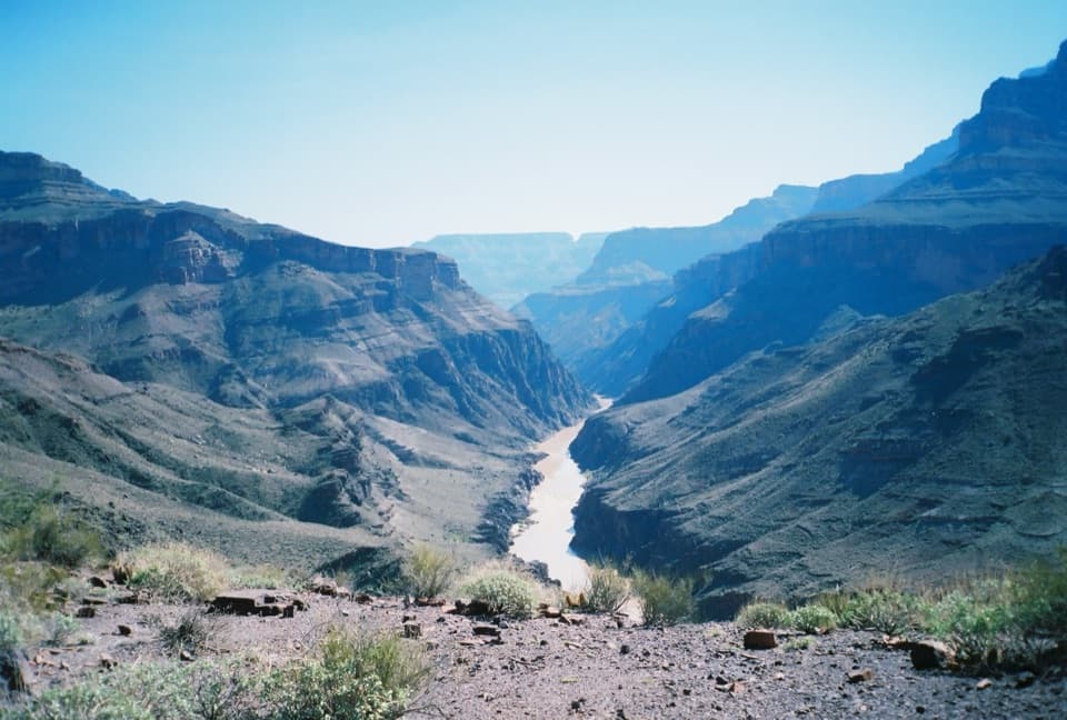 ChallengingNorth Bass Trail13.5 mi · 20 hr · 8.2 mi awayA 13.5-mile one-way descent to the Colorado River.
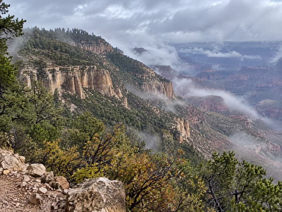 ChallengingPowell Plateau Trail8.1 mi · 7 hr · 8.2 mi awayA remote plateau hike with canyon views and a faint, demanding tread
Parkwolf’s Grand Canyon ranking

The audio tour guide for the drive, plus offline maps, trails, and wildlife heatmaps for when the signal drops.