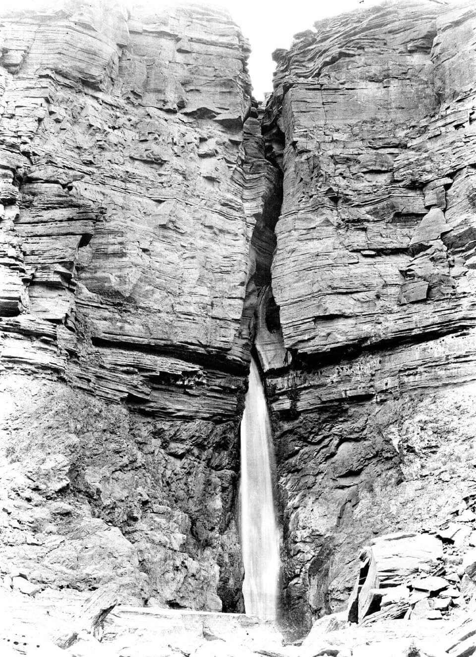
Parking
Follow Forest Roads 22 and 425 to Forest Road 232; the trailhead is at the road end just beyond Indian Hollow Campground. The approach is unpaved and winter/spring access is unreliable. Trailhead parking capacity and fee were not found.
Grand Canyon National Park, AZ
A rugged backcountry drop to Thunder River's spring-fed cascades
Overview
Map & elevation
Plan your hike

The highest, rockiest slopes around here are a summer buffet for grizzly bears.
Grand Canyon Tour Guide
Parkwolf is a GPS audio tour guide for Grand Canyon National Park. As you drive, it chimes in with what’s ahead: hidden gems, upcoming stops, history, geology, and wildlife, right through your car’s speakers.
See the Grand Canyon audio tour“Fantastic app with many points of information… It’s great to just turn on while you’re driving and it gives you an audio tour of the national Park. We love it!!!!”


Trail guide
From Indian Hollow, this is a 25.8-mile out-and-back to Upper Tapeats Camp: 12.9 miles each way, including the short Tapeats Creek Trail connection below Thunder River. You cross the Esplanade, descend into Surprise Valley, and finish at spring-fed cascades and Tapeats Creek. The trail drops about 3,850 feet to camp, then asks for all of that climbing on the way out. Plan on a multi-day backpack and roughly 20 hours of hiking, not a day trip.
The route leaves the end of Forest Road 232 and reaches the Bill Hall junction after 6.3 miles. From there, the trail crosses broad slickrock and several small drainages. The tread can fade against the stone, so follow the cairns and keep the next one in sight. After a couple of relatively level miles, the Esplanade opens onto a wide canyon view.
From the Esplanade's southern edge, rough switchbacks cut through the Supai and Redwall formations into Surprise Valley. This is a long descent on the canyon's hot, south-facing side; the National Park Service advises avoiding the valley after 10 a.m. in warm weather. At the large cairn in the valley, take the east, left-hand branch toward Thunder River and Tapeats Creek. The west branch heads toward Deer Creek.
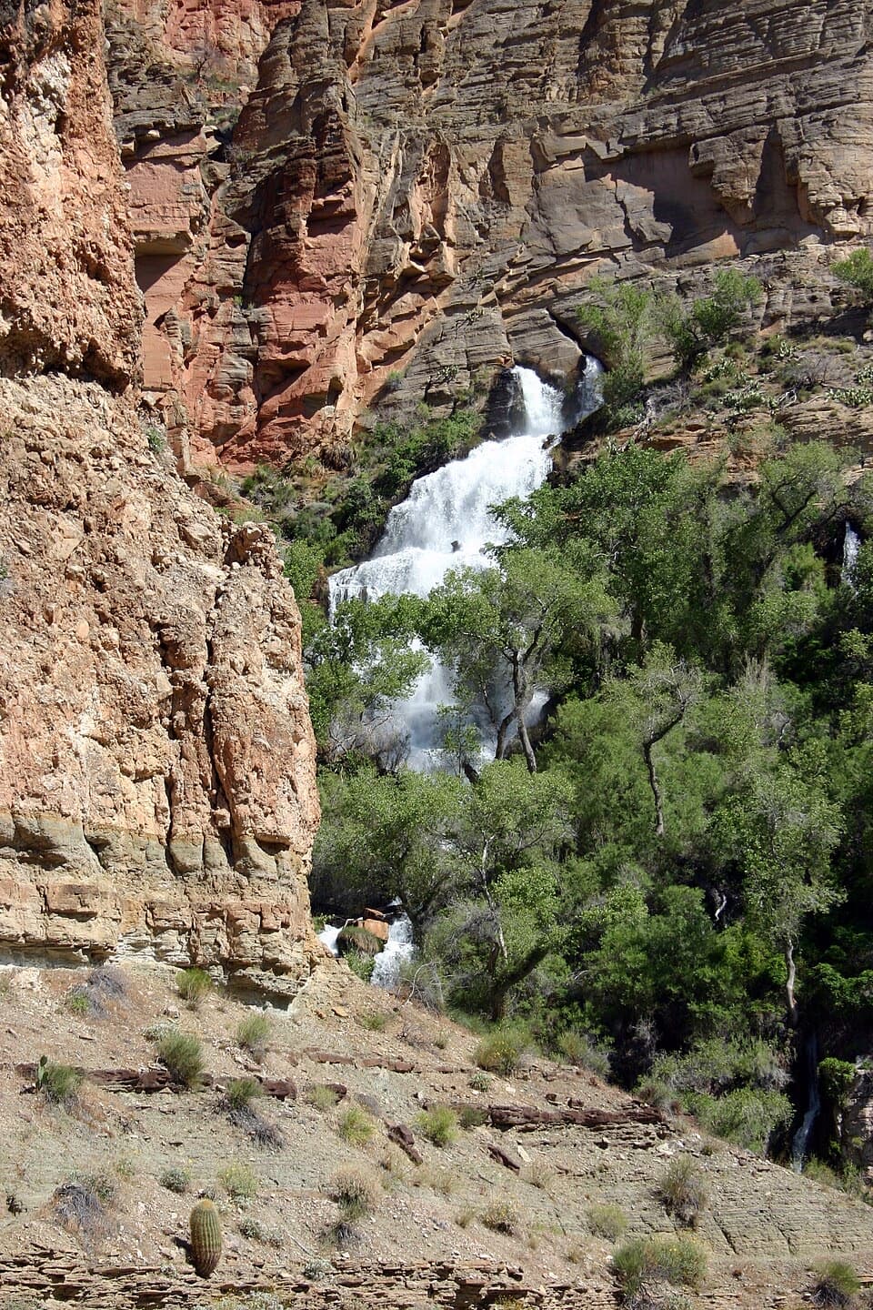
The Thunder River branch crosses the valley floor for about a mile, over low hills and shallow drainages, then drops steeply to the springs. Water pours from caves in the Redwall and Muav limestone, forming cascades and pools in a green pocket that feels far removed from the dry approach. The last quarter-mile follows Tapeats Creek's west side to Upper Tapeats Camp. The waterfall is the photo stop: frame the white cascades with the layered cliff and riparian trees from established ground.
There are no services at the trailhead, and the approach is dry for a long stretch. The National Park Service lists Thunder River and Tapeats Creek as permanent water sources and notes that hikers often cache labeled, dated water on the Esplanade or in Surprise Valley for the return; pack the containers back out and check current water-treatment guidance. Upper Tapeats is a designated campsite with a toilet. Overnight camping in the park requires a backcountry permit. Pets are prohibited below the rim; service animals assisting visitors with disabilities are allowed.
The drive is part of the commitment: follow Forest Roads 22 and 425 to 232, ending just beyond Indian Hollow Campground. The unpaved road can be unreliable in winter and spring, so check current forest-road and park access notices before leaving.
Thunder Springs emerge from the Muav Limestone below the Redwall and feed a short river that joins Tapeats Creek less than a mile away. The contrast between bare canyon stone and the lush spring corridor is the trip's payoff. Forest Service ranger Ed Laws visited the springs in 1924; work on a formal trail to Surprise Valley began in 1925, and the lower segment to the springs and creek was completed in 1939.
The Monument Point and Bill Hall approach cuts 3.7 miles off the route to the junction, but it is steeper and includes a 15-foot scramble. That's a separate access route, not the Indian Hollow line mapped here. Choose it only if that start suits your group and conditions.
Wildlife
 718 sightingsCalifornia CondorMost seen around 5 PMSighting map
 533 sightingsBighorn SheepMost seen around 7 AMSighting map
 169 sightingsAmerican BisonMost seen around 7 PMSighting map
 1,891 sightingsElkMost seen around 6 AMSighting map
 59 sightingsCoyoteMost seen around 6 PMSighting map
 27 sightingsGray FoxMost seen around 6 AMSighting map
Sighting maps show where each species has been reported across Grand Canyon. Wildlife moves, so no sighting is guaranteed.
Keep exploring
 ChallengingThunder River–Deer Creek Loop24.1 mi · 1 day · 3.7 mi awayA strenuous three-day loop linking Thunder River and Deer Creek.
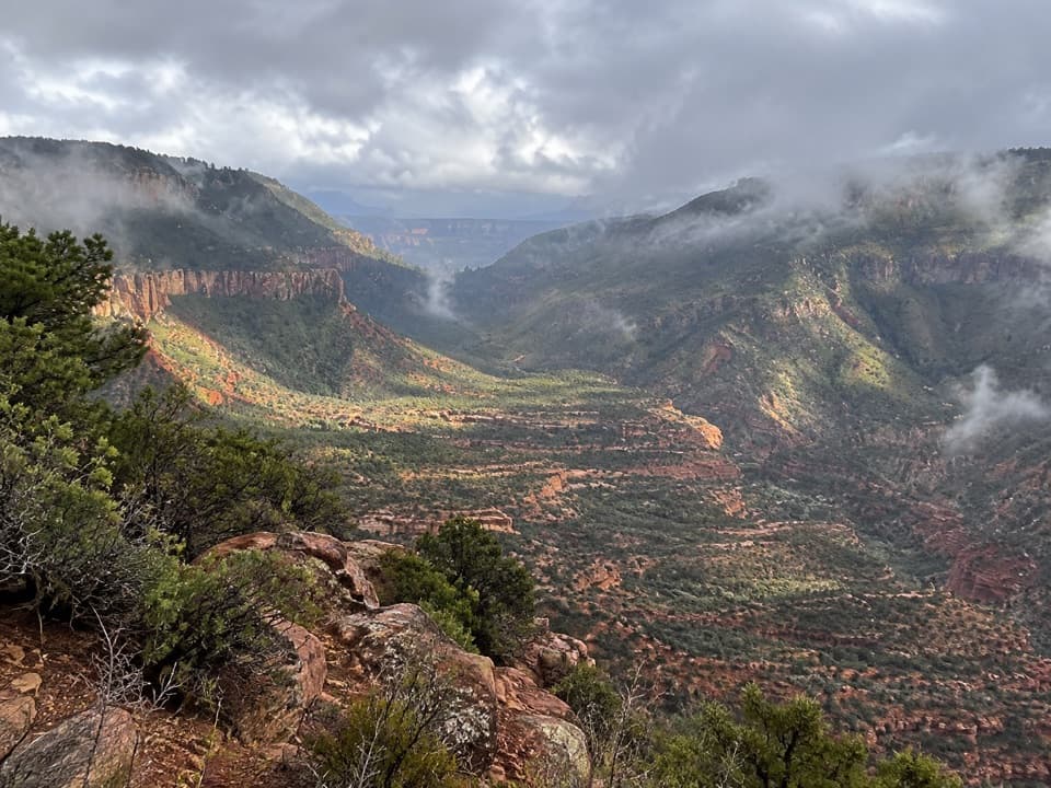 ChallengingBill Hall Trail5 mi · 6 hr · 3.7 mi awayA rugged descent to the Esplanade with a 15-foot scramble.
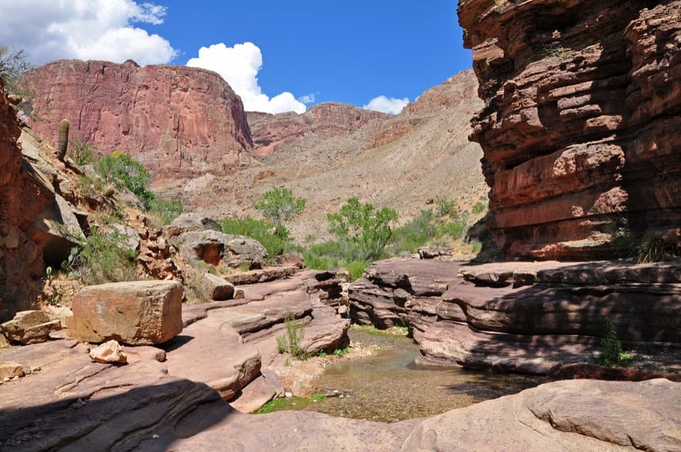 ChallengingDeer Creek Trail to Deer Creek Falls20.4 mi · 13.5 hr · 3.7 mi awayA long rim-to-river hike to Deer Creek Falls
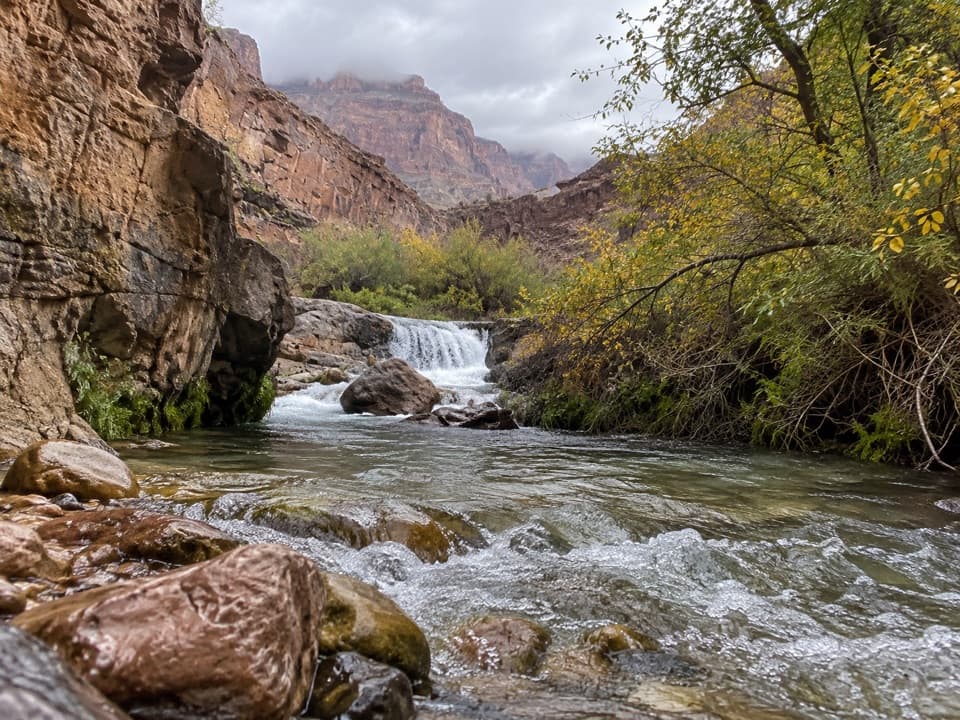 ChallengingTapeats Creek Trail2.2 mi · 2.5 hr · 5 mi awayA green canyon corridor with two serious creek crossings.ChallengingTapeats Creek to Deer Creek Traverse7.6 mi · 8 hr · 6.2 mi awayA full-day river traverse links Thunder River with Deer Creek.
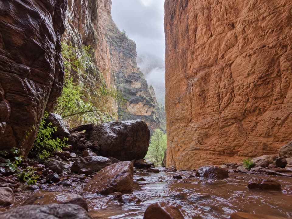 EasyStone Creek Trail0.5 mi · 30 min · 7.9 mi awayA short river stop for a fern-lined waterfall refuge.
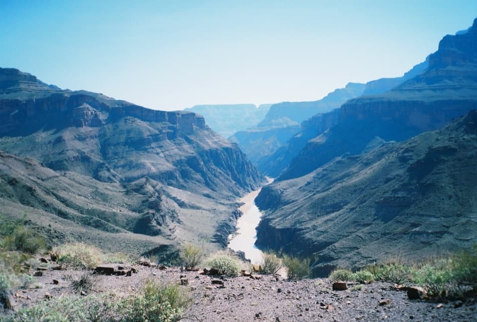 ChallengingNorth Bass Trail13.5 mi · 20 hr · 11.5 mi awayA 13.5-mile one-way descent to the Colorado River.
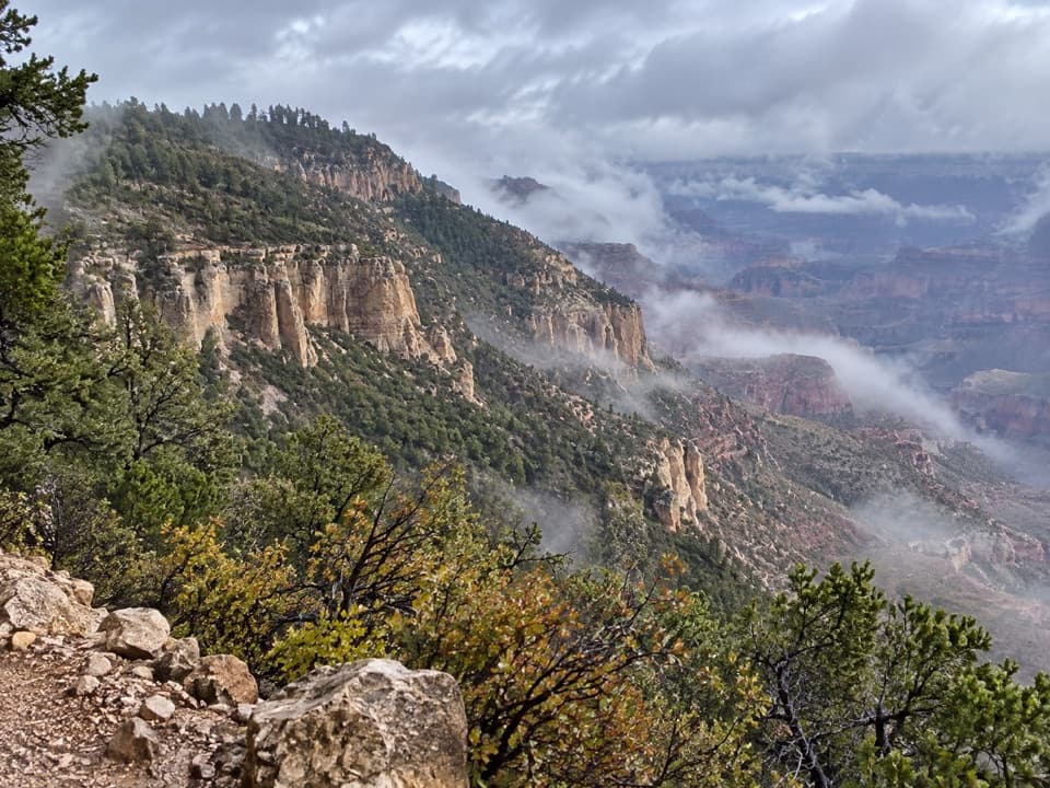 ChallengingPowell Plateau Trail8.1 mi · 7 hr · 11.5 mi awayA remote plateau hike with canyon views and a faint, demanding tread
Parkwolf’s Grand Canyon ranking

The audio tour guide for the drive, plus offline maps, trails, and wildlife heatmaps for when the signal drops.