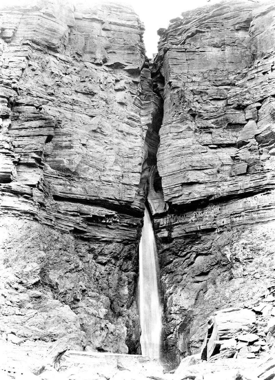
Parking
No road access or vehicle parking. Start at the Tapeats Creek river landing near Colorado River mile 133 and finish at Deer Creek near mile 136; arrange the drop-off and pickup with your river party before setting out.

Grand Canyon National Park, AZ
A full-day river traverse links Thunder River with Deer Creek.
Overview
Map & elevation
Plan your hike

The highest, rockiest slopes around here are a summer buffet for grizzly bears.
Grand Canyon Tour Guide
Parkwolf is a GPS audio tour guide for Grand Canyon National Park. As you drive, it chimes in with what’s ahead: hidden gems, upcoming stops, history, geology, and wildlife, right through your car’s speakers.
See the Grand Canyon audio tour“Fantastic app with many points of information… It’s great to just turn on while you’re driving and it gives you an audio tour of the national Park. We love it!!!!”


Trail guide
This about 7.6-mile point-to-point traverse starts at the Tapeats Creek landing near Colorado River mile 133, climbs through Thunder River and across Surprise Valley, then descends to Deer Creek at river mile 136. It is a hard, remote inner-canyon hike for people comfortable with steep, rough ground and cairn-based route-finding, not a casual stop from a raft. Plan around eight hours on foot and the full day for boat timing. The 7.6 miles is the connected mapped route; the exact landing and creekside line can add distance, and no single official landing-to-landing mileage was found. This is separate from the rim-access Bill Hall loop and from the low riverbank route between the camps.
There is no road trailhead or parking lot. Your river party has to land at Tapeats Creek and pick you up at Deer Creek; this route does not return to its start. Confirm both stops before leaving the boat. Day hiking itself does not require a backcountry permit, but overnight camping away from the river does. There is no food service or treated-water source along the route; the creeks and springs are natural water sources, not a dependable substitute for a planned supply.
The route begins beside cold, clear Tapeats Creek. The trail climbs through small drainages and slickrock toward the broad plateau, with cairns marking the way; keep the next cairn in sight rather than following an inviting-looking wash. The steep switchbacks down to Thunder River bring you to a remarkable spring that bursts from the canyon wall into cascades and a green pocket in the dry inner canyon. Expect a real climb and uneven, rocky footing, with creek crossings along the way.
From the spring area, the route reaches open Surprise Valley and crosses its shallow drainages and low hills before turning west toward Deer Creek. It can feel almost level after the climbing, but the south-facing valley has little shade and can be punishingly hot. The park advises avoiding it after 10 a.m. in warm weather; this is a poor choice in hot conditions. At the cairned fork, take the west branch for Deer Creek. The other branch leads back toward Thunder River and Tapeats Creek.
The west descent is rocky and loose, with exposed sections as it drops toward the creek. At Deer Creek, water crosses the Patio before plunging into the Narrows. Travel below the Patio is closed; stay on the route on the west side, which continues to the Colorado River and the waterfall viewpoint. Treat the river pickup as part of the hike itself, not a detail to sort out after you arrive.
Thunder River, Tapeats Spring and Deer Spring turn this corner of the canyon into green, water-rich oases. The springs have drawn people here since prehistoric times. Deer Creek's narrow gorge cuts into the resistant Tapeats Formation; the smooth rock at the Patio and the plunge beyond it are the payoff at the far end of a demanding day. Ordinary pets are not allowed below the canyon rim; service animals are permitted under park rules.
Wildlife
 718 sightingsCalifornia CondorMost seen around 5 PMSighting map
 533 sightingsBighorn SheepMost seen around 7 AMSighting map
 169 sightingsAmerican BisonMost seen around 7 PMSighting map
 1,891 sightingsElkMost seen around 6 AMSighting map
 59 sightingsCoyoteMost seen around 6 PMSighting map
 27 sightingsGray FoxMost seen around 6 AMSighting map
Sighting maps show where each species has been reported across Grand Canyon. Wildlife moves, so no sighting is guaranteed.
Keep exploring
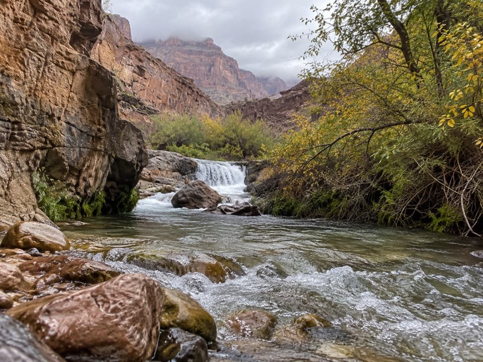 ChallengingTapeats Creek Trail2.2 mi · 2.5 hr · 1.8 mi awayA green canyon corridor with two serious creek crossings.
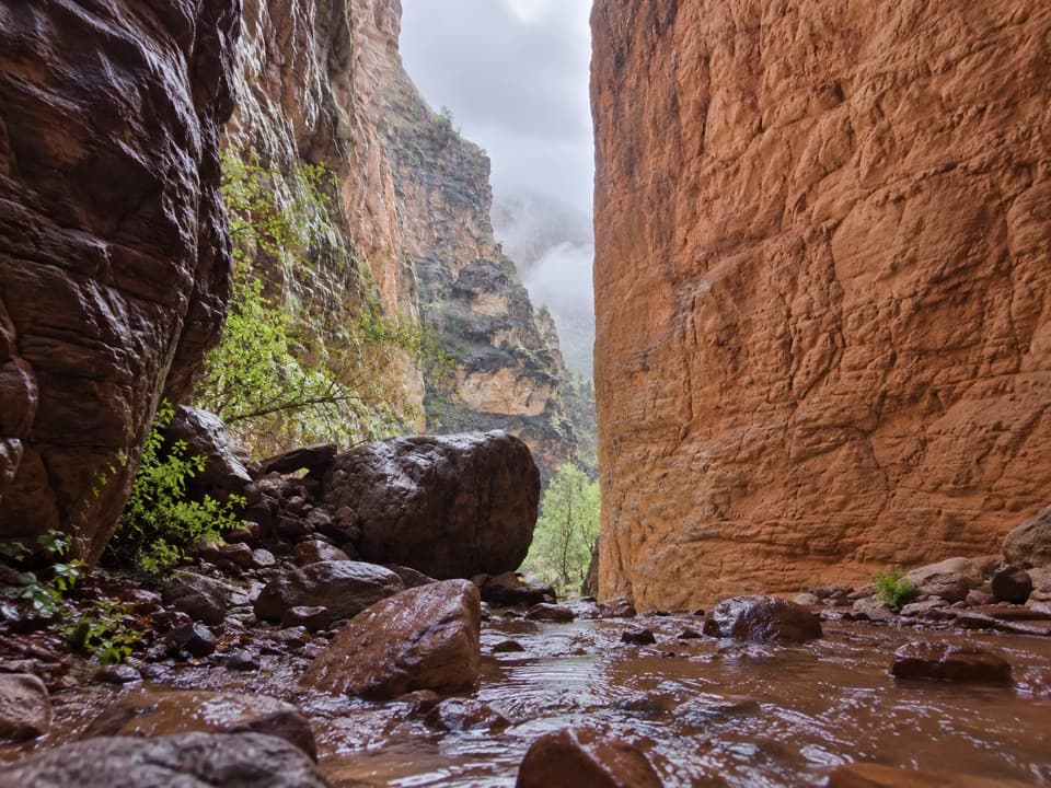 EasyStone Creek Trail0.5 mi · 30 min · 1.8 mi awayA short river stop for a fern-lined waterfall refuge.ChallengingThunder River–Deer Creek Loop24.1 mi · 1 day · 4.9 mi awayA strenuous three-day loop linking Thunder River and Deer Creek.
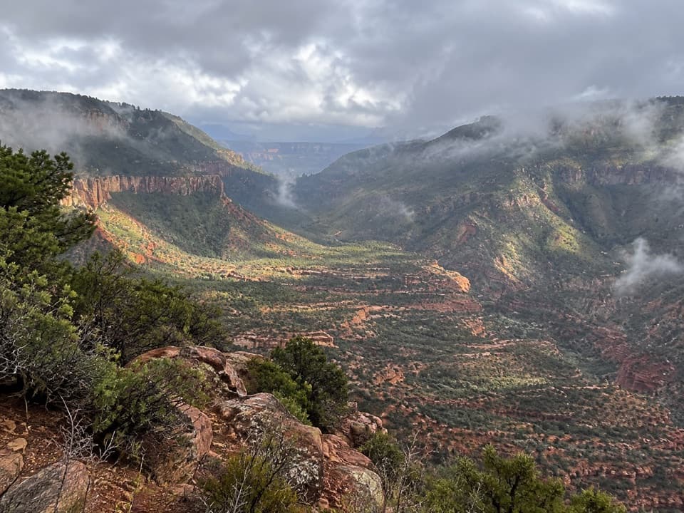 ChallengingBill Hall Trail5 mi · 6 hr · 4.9 mi awayA rugged descent to the Esplanade with a 15-foot scramble.
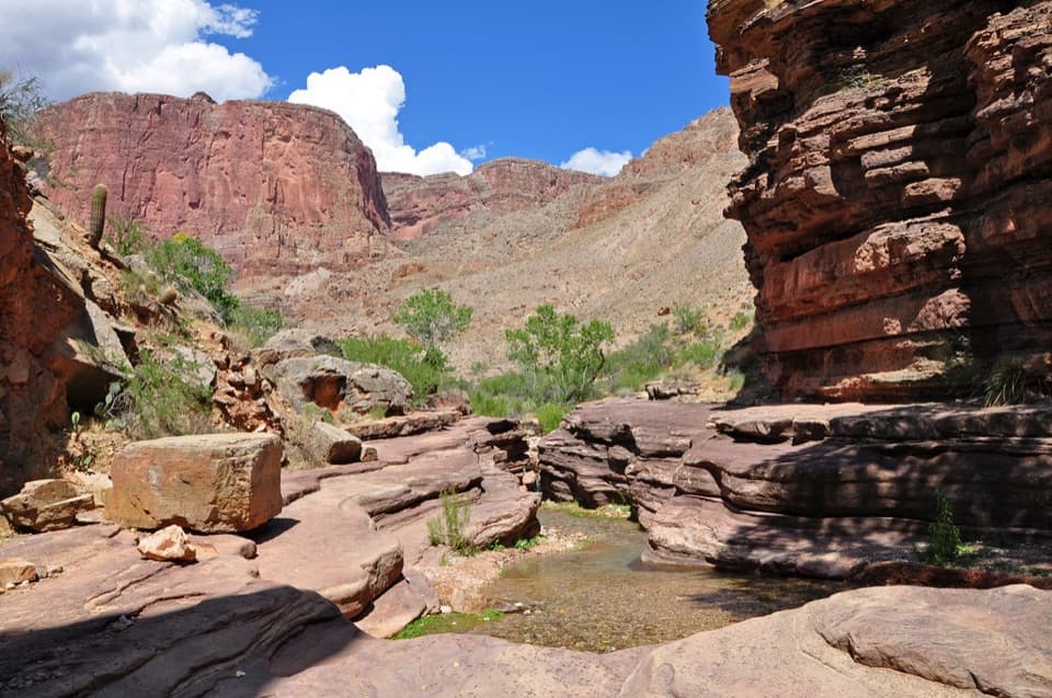 ChallengingDeer Creek Trail to Deer Creek Falls20.4 mi · 13.5 hr · 4.9 mi awayA long rim-to-river hike to Deer Creek Falls
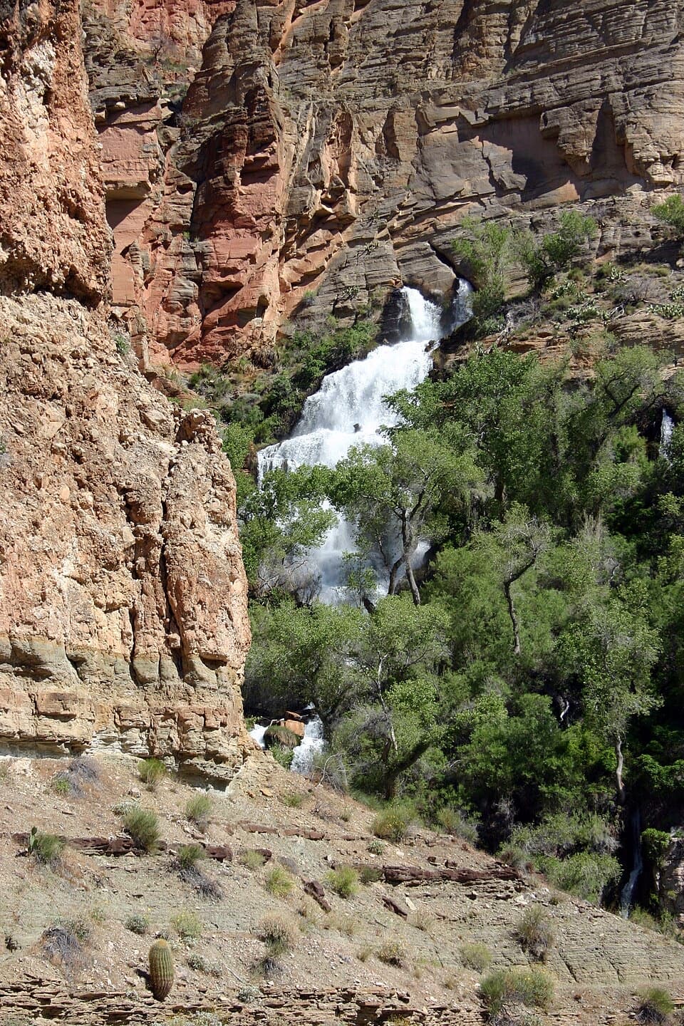 ChallengingThunder River Trail from Indian Hollow25.8 mi · 20 hr · 6.2 mi awayA rugged backcountry drop to Thunder River's spring-fed cascades
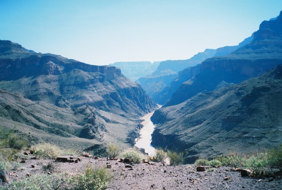 ChallengingNorth Bass Trail13.5 mi · 20 hr · 7.1 mi awayA 13.5-mile one-way descent to the Colorado River.
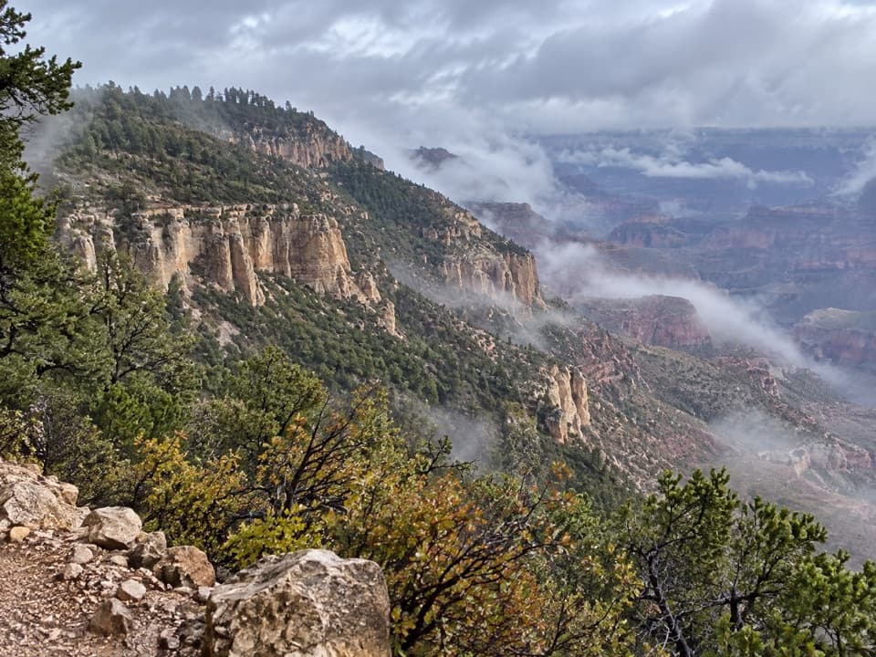 ChallengingPowell Plateau Trail8.1 mi · 7 hr · 7.1 mi awayA remote plateau hike with canyon views and a faint, demanding tread
Parkwolf’s Grand Canyon ranking

The audio tour guide for the drive, plus offline maps, trails, and wildlife heatmaps for when the signal drops.