Parking
No road access or vehicle parking. Start at the Stone Creek river landing near Dubendorff Rapid, reached only on a Colorado River trip; plan the landing with your authorized operator or private-trip permit.
Grand Canyon National Park, AZ
A short river stop for a fern-lined waterfall refuge.
Overview
Map & elevation
Plan your hike

The highest, rockiest slopes around here are a summer buffet for grizzly bears.
Grand Canyon Tour Guide
Parkwolf is a GPS audio tour guide for Grand Canyon National Park. As you drive, it chimes in with what’s ahead: hidden gems, upcoming stops, history, geology, and wildlife, right through your car’s speakers.
See the Grand Canyon audio tour“Fantastic app with many points of information… It’s great to just turn on while you’re driving and it gives you an audio tour of the national Park. We love it!!!!”


Trail guide
Stone Creek Trail is a short, river-access out-and-back from the Colorado River landing into a narrow side canyon, ending at the first waterfall and returning the same way. The mapped footway is about 0.24 mile each way, or roughly 0.49 mile round trip. That is a map-based estimate rather than a signed park distance. Allow about 30 minutes for the wet-foot walk and a pause at the falls. The short creek walk is the point; scrambling farther up the canyon is a different, more technical outing.
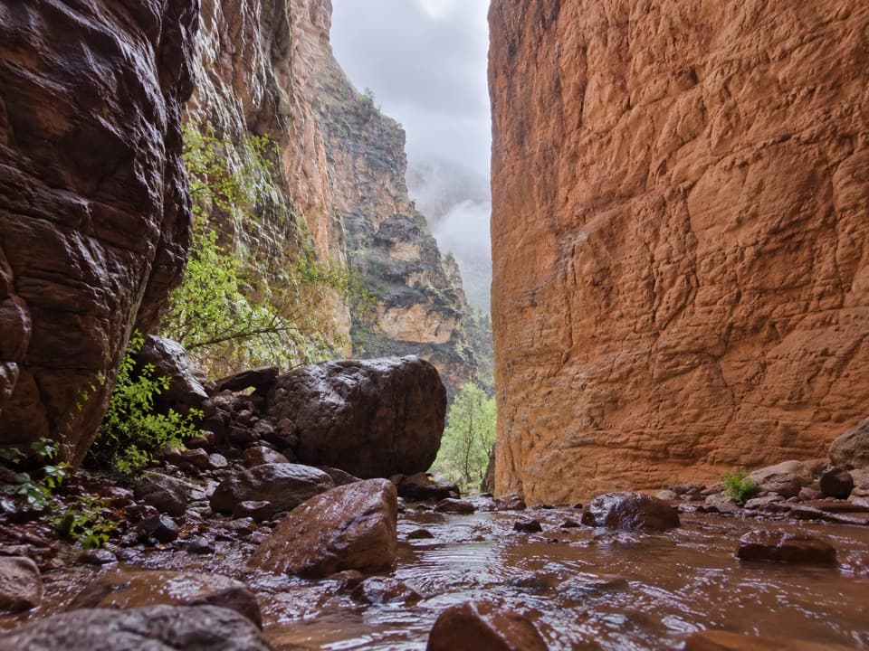
From the sandy river edge, the route follows Stone Creek over uneven rock and through shallow pools. Expect to get your feet wet, and take your time on slick stones. The canyon closes in around the creek as you walk upstream. A terrain profile suggests roughly 130 feet of rise to its highest sampled point, though no official elevation figure is posted.
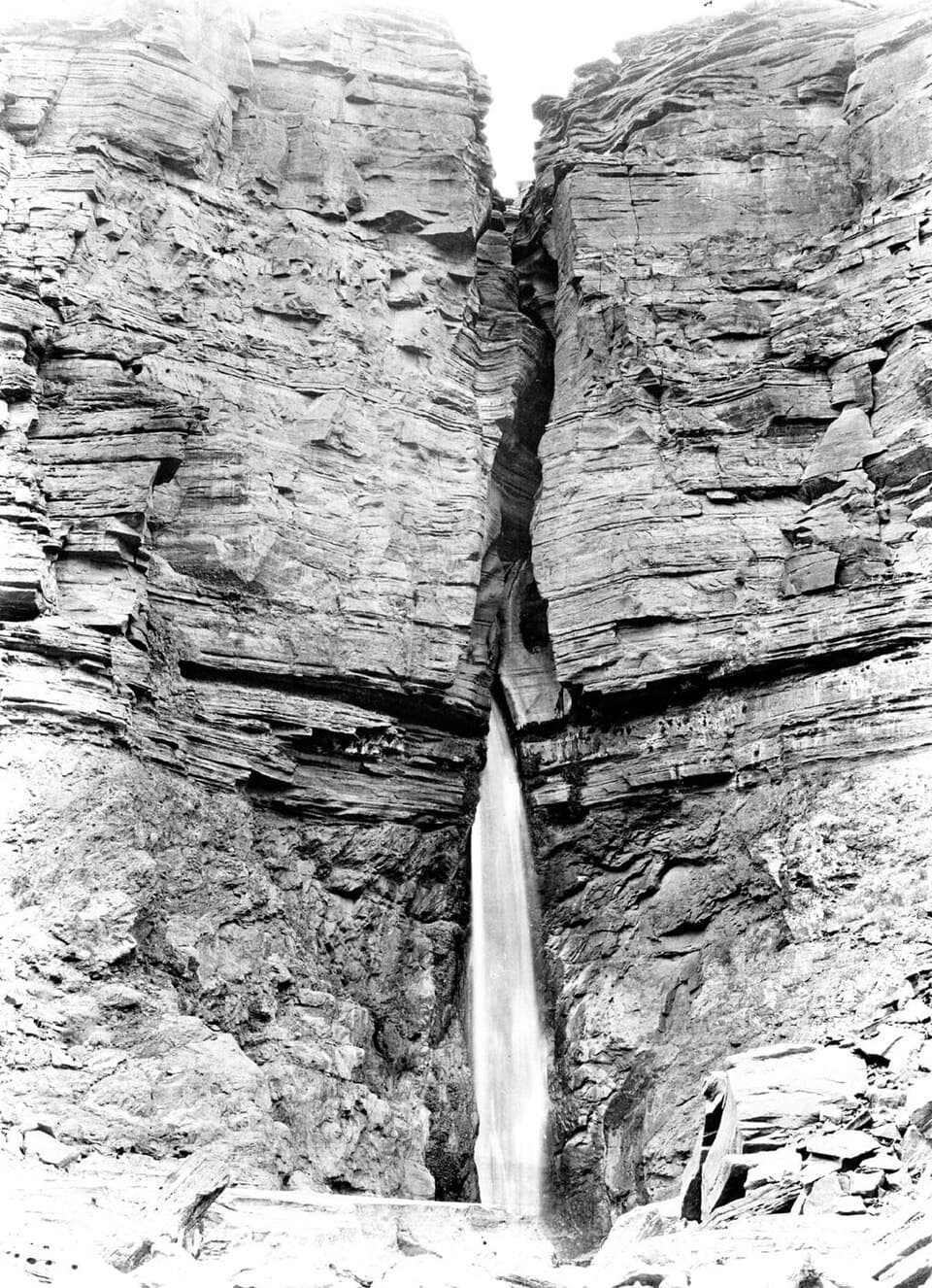
The first waterfall sits in a shaded refuge of ferns, moss and spray, a sharp change from the dry, open beach at the river. For a photo, include some of the creek in the foreground with the tall red walls; the water and a person-sized scale make the narrow canyon easier to read. The mapped footway reaches into this canyon, but its endpoint is not surveyed to the waterfall, so use the line as a route guide rather than a promise of an exact falls marker.
There is no road approach or car park. You reach the landing as part of a Colorado River trip. Private, non-commercial river trips require an NPS permit; commercial trips operate through authorized outfitters. Confirm the stop with your river-trip plan. Pets are prohibited below the rim, and no trail-specific toilets, potable water or food service at the landing were verified.
Wildlife
 718 sightingsCalifornia CondorMost seen around 5 PMSighting map
 533 sightingsBighorn SheepMost seen around 7 AMSighting map
 169 sightingsAmerican BisonMost seen around 7 PMSighting map
 1,891 sightingsElkMost seen around 6 AMSighting map
 59 sightingsCoyoteMost seen around 6 PMSighting map
 27 sightingsGray FoxMost seen around 6 AMSighting map
Sighting maps show where each species has been reported across Grand Canyon. Wildlife moves, so no sighting is guaranteed.
Keep exploring
 ChallengingTapeats Creek to Deer Creek Traverse7.6 mi · 8 hr · 1.8 mi awayA full-day river traverse links Thunder River with Deer Creek.
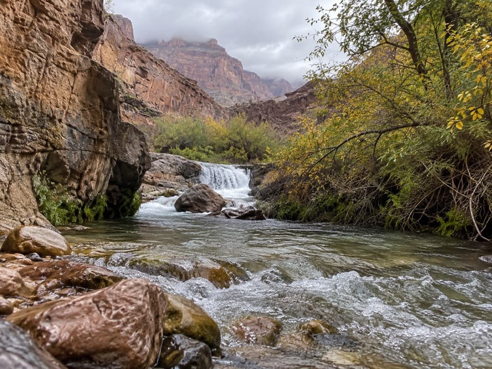 ChallengingTapeats Creek Trail2.2 mi · 2.5 hr · 3.1 mi awayA green canyon corridor with two serious creek crossings.
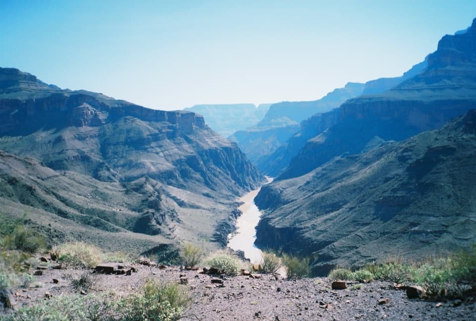 ChallengingNorth Bass Trail13.5 mi · 20 hr · 5.9 mi awayA 13.5-mile one-way descent to the Colorado River.
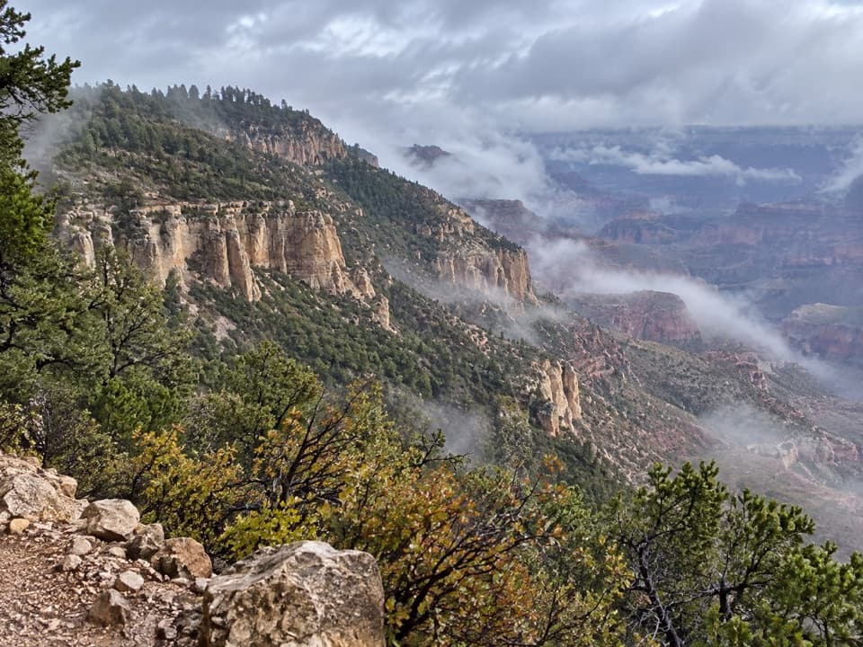 ChallengingPowell Plateau Trail8.1 mi · 7 hr · 5.9 mi awayA remote plateau hike with canyon views and a faint, demanding treadChallengingThunder River–Deer Creek Loop24.1 mi · 1 day · 6.2 mi awayA strenuous three-day loop linking Thunder River and Deer Creek.
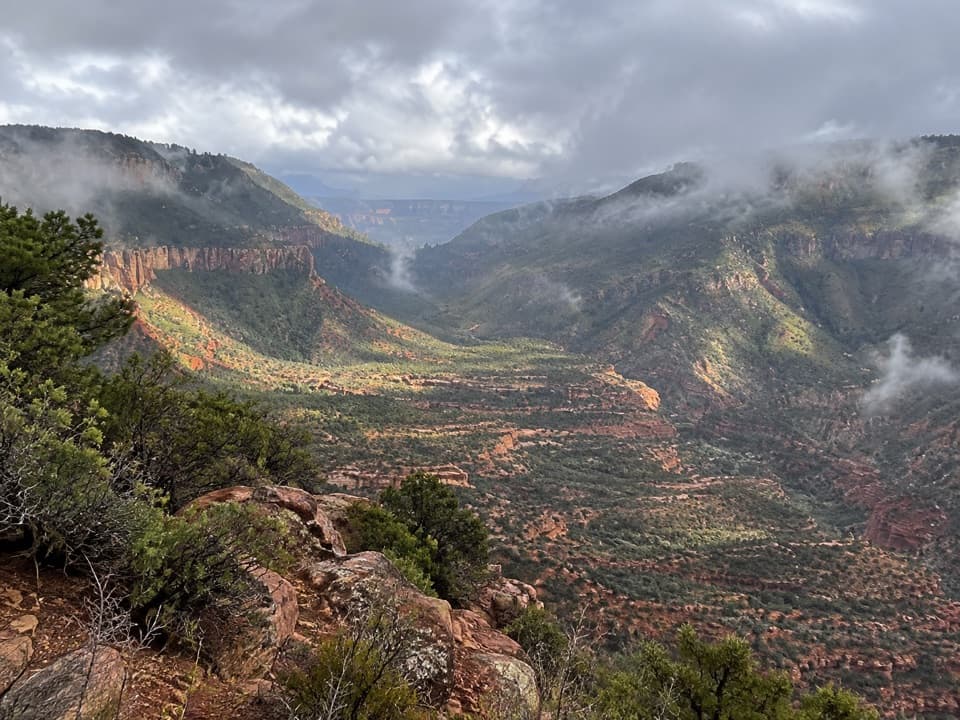 ChallengingBill Hall Trail5 mi · 6 hr · 6.2 mi awayA rugged descent to the Esplanade with a 15-foot scramble.
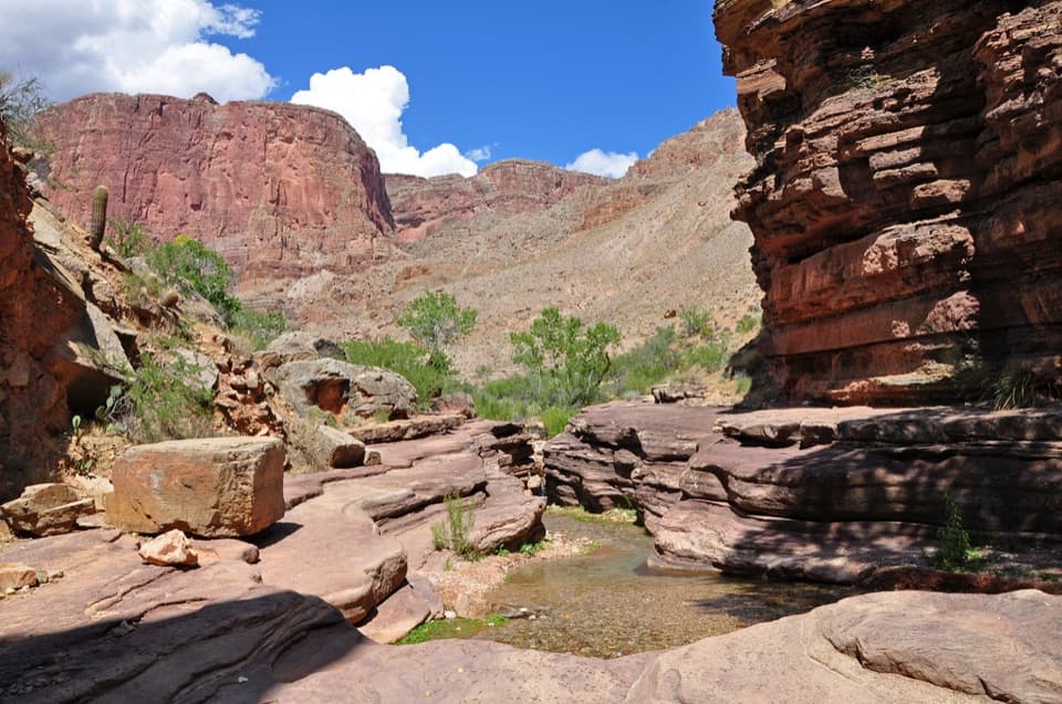 ChallengingDeer Creek Trail to Deer Creek Falls20.4 mi · 13.5 hr · 6.2 mi awayA long rim-to-river hike to Deer Creek Falls
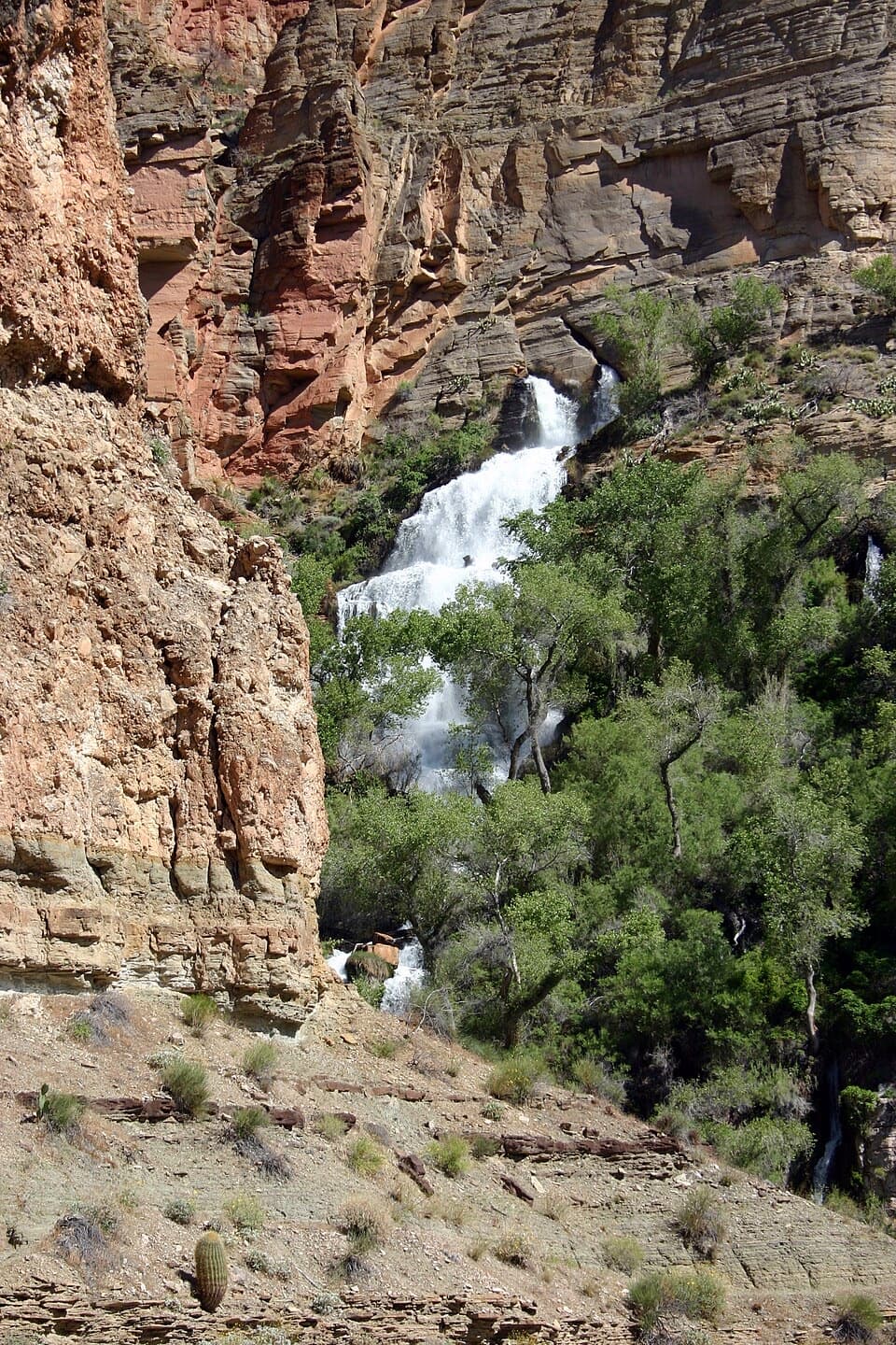 ChallengingThunder River Trail from Indian Hollow25.8 mi · 20 hr · 7.9 mi awayA rugged backcountry drop to Thunder River's spring-fed cascades
Parkwolf’s Grand Canyon ranking

The audio tour guide for the drive, plus offline maps, trails, and wildlife heatmaps for when the signal drops.