Parking
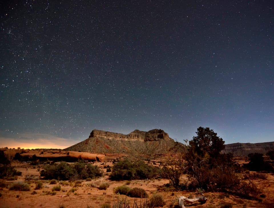
No road approach or parking. Reach the river-left landing at Upper National Camp only by an authorized Colorado River trip.
Grand Canyon National Park, AZ
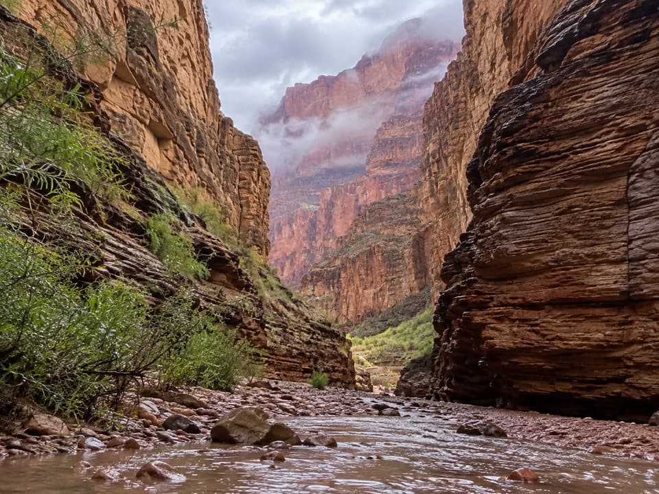
A short river-side walk to limestone narrows and pools.
Overview
Map & elevation
Plan your hike

The highest, rockiest slopes around here are a summer buffet for grizzly bears.
Grand Canyon Tour Guide
Parkwolf is a GPS audio tour guide for Grand Canyon National Park. As you drive, it chimes in with what’s ahead: hidden gems, upcoming stops, history, geology, and wildlife, right through your car’s speakers.
See the Grand Canyon audio tour“Fantastic app with many points of information… It’s great to just turn on while you’re driving and it gives you an audio tour of the national Park. We love it!!!!”


Trail guide
National Canyon (River Access) is an informal out-and-back from Upper National Camp, with roughly 1.2 miles round trip to the lower narrows. About 0.1 mile crosses the landing beach to the canyon mouth; from there it is about 0.5 mile up the wash each way. Allow around 1.5 hours for ledges, loose gravel and a look at the pools and Muav Limestone alcoves. River-mile labels for this area are rounded differently, from about 166.4 to 167; those numbers are not hiking distances.
The approach follows the creekbed on ledges and gravel rather than a built, signed trail. Pools and the sandy mouth can change after floods; a 2013 flash flood reshaped the entrance. The route here ends at the lower narrows. Beyond that, descriptions include choke stones and fourth- or fifth-class scrambling; that technical continuation is outside this short walk.
There is no road trailhead, parking or services. You need an authorized Colorado River trip to reach Upper National Camp on river left. Private noncommercial river trips require an NPS permit. Hualapai land lies along this stretch of river left, and hiking above the historic high-water mark may require separate tribal permission; confirm access for this landing before launch. Pet access is not established for this walk, so check before bringing a dog.
Wildlife
 718 sightingsCalifornia CondorMost seen around 5 PMSighting map
 533 sightingsBighorn SheepMost seen around 7 AMSighting map
 169 sightingsAmerican BisonMost seen around 7 PMSighting map
 1,891 sightingsElkMost seen around 6 AMSighting map
 59 sightingsCoyoteMost seen around 6 PMSighting map
 27 sightingsGray FoxMost seen around 6 AMSighting map
Sighting maps show where each species has been reported across Grand Canyon. Wildlife moves, so no sighting is guaranteed.
Keep exploring
 ChallengingSchmutz Spring Trail4.2 mi · 4 hr · 6 mi awayA steep 1,300-foot descent into Tuckup, with a long dirt-road drive.
 ModerateTuckup Trail to Cove Canyon6 mi · 4 hr · 9.5 mi awayOpen Esplanade slickrock leads to wide Cove Canyon views.
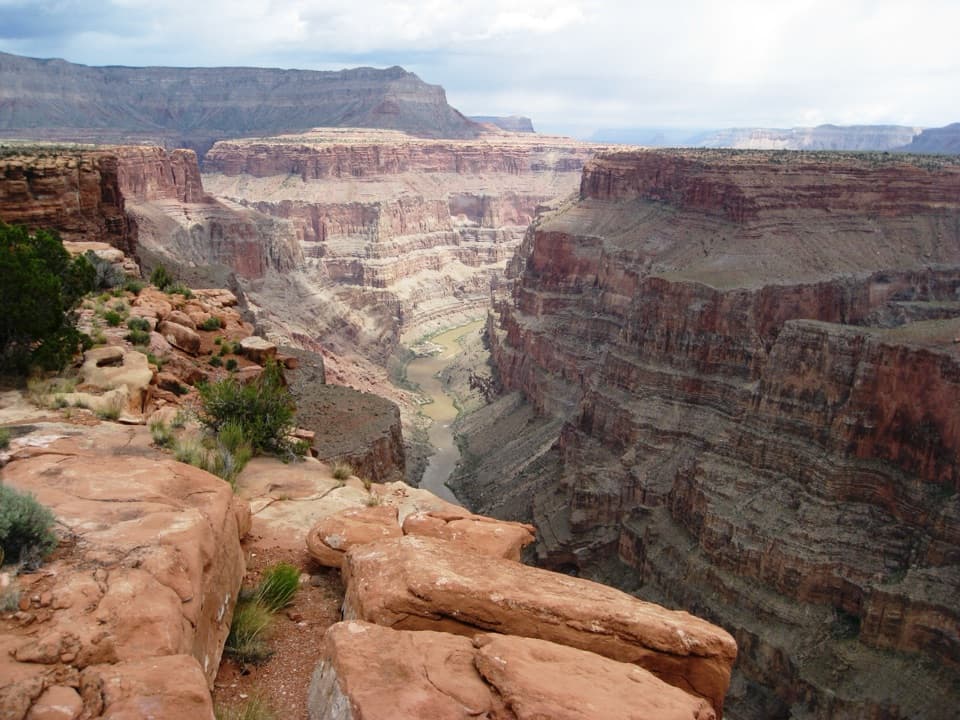 EasySaddle Horse Loop Trail1.7 mi · 1 hr · 9.6 mi awayFollow cairns across slickrock to a broad Colorado River view.
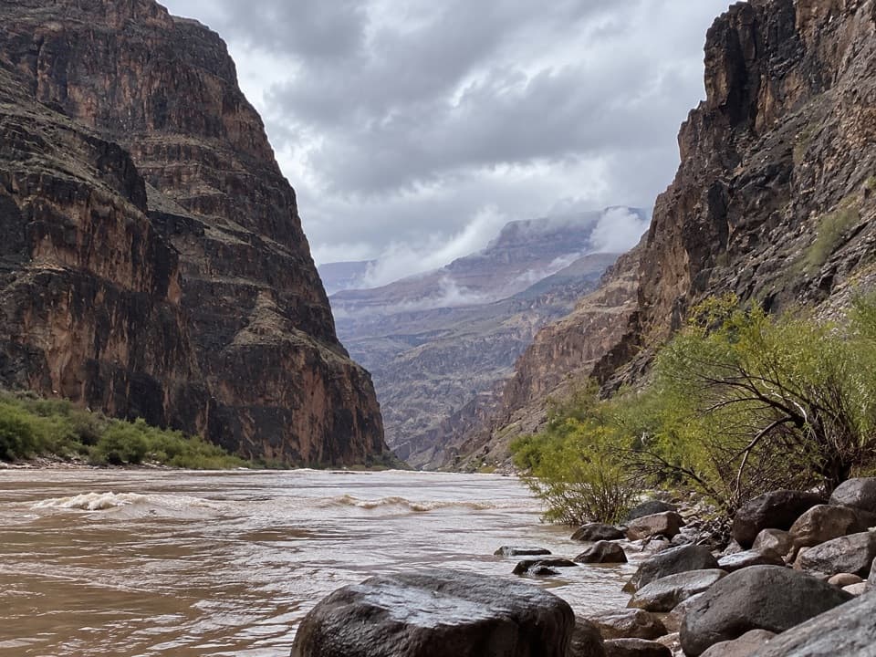 ChallengingLava Falls Trail3 mi · 8 hr · 11 mi awayA steep, loose descent to the Colorado through volcanic canyon country.
Parkwolf’s Grand Canyon ranking

The audio tour guide for the drive, plus offline maps, trails, and wildlife heatmaps for when the signal drops.