Rim-to-Rim: North Kaibab to Bright Angel in Grand Canyon National Park

#1 of 73 trails in Grand Canyon

Grand Canyon National Park, AZ

Rim-to-Rim: North Kaibab to Bright Angel

A point-to-point crossing from North Rim forest to the South Rim.

Photo: National Park Service
Length
23.5mi
Time
16hr
Elev. change
5,807ft
Difficulty
Challenging
  • No dogs
  • High point 8,245 ft

Hear the audio tour

North Kaibab Trailhead

Overview

About Rim-to-Rim: North Kaibab to Bright Angel

Why go

  • Crosses from North Rim forest through the river corridor to the South Rim.
  • Roaring Springs, Silver Bridge and the high Bright Angel switchbacks are memorable landmarks.
  • The route combines canyon ecology, geology and trail history in one traverse.

Heads up

  • Exceptional distance, exposure and sustained climbing make this a serious undertaking.
  • A one-way trip requires a long cross-rim shuttle and careful overnight planning.

Map & elevation

The route

Loading the Grand Canyon map
Full map
Elevation2,438–8,245 ft
TrailheadNorth Kaibab Trailhead36.21705, -112.05664
Keep this map with you offline in the Parkwolf app

Plan your hike

Before you go

Parking

North Kaibab Trailhead is on AZ-67 at the North Rim, where parking is limited. The finish is by Bright Angel Lodge in Grand Canyon Village. Arrange a cross-rim vehicle shuttle in advance; for South Rim access, use the Backcountry Information Center Lot D and village shuttle or walk to the trailhead.

Safety

Expect steep exposed ledges, a long descent followed by a sustained climb, severe Inner Gorge heat, and flash-flood danger. Snow, ice and rockfall affect the upper North Kaibab in winter. Seasonal water taps may be unavailable; carry sufficient water and treatment for natural sources. Ordinary pets are prohibited below the rim. Overnight inner-canyon camping requires a backcountry permit.

4 active Grand Canyon alerts

  • ClosureInner Canyon and North Rim trail closuresMentions this trailDo not enter the closed trails, bridges, campgrounds, and inner-canyon areas.Official details
  • ClosureNorth Rim scenic roads closed for repairsMentions North Rim, referenced in this guideCape Royal Road and Point Imperial Road are closed from sunset October 15 through sunrise November 3, 2026. - The roads are closed to accommodate critical road repair and rehabilitation work.Official details
See all 4 alerts
A park ranger sits on a dash-mounted phone, talking, as Parkwolf’s Tour Guide plays “Army Cutworm Moths: A Grizzly Bear Buffet” on Grand Loop Road below Dunraven Pass in Yellowstone
Parkwolf Tour GuideThe highest, rockiest slopes around here are a summer buffet for grizzly bears.

Grand Canyon Tour Guide

Your drive to Rim-to-Rim: North Kaibab to Bright Angel, narrated.

Parkwolf is a GPS audio tour guide for Grand Canyon National Park. As you drive, it chimes in with what’s ahead: hidden gems, upcoming stops, history, geology, and wildlife, right through your car’s speakers.

See the Grand Canyon audio tour

Recorded for this trailhead

North Kaibab Trailhead
0:00 / 0:27
“You're approaching North Kaibab Trailhead, where steep switchbacks descend through fir and aspen into Roaring Springs Canyon.”

Plays as you drive up to this trailhead in the Parkwolf Grand Canyon Tour Guide.

More stories near here in the app

  • North Rim Campground and Transept Walks
  • Widforss Trail’s Forest and Canyon
  • The Bird with a Seed Stash
  • Bright Angel Point’s Ridge Walk
  • 79 audio storiesacross Grand Canyon’s roads, triggered by GPS as you drive
  • Wildlife heatmapsfor California Condor, Bighorn Sheep, American Bison, and 13 more
  • Works offlinemaps, 73 trails, 96 places, and audio download before you lose signal
  • CarPlay readysimple controls built for the drive
★★★★★
“Fantastic app with many points of information… It’s great to just turn on while you’re driving and it gives you an audio tour of the national Park. We love it!!!!”
JMJamesApp Store review
Download Parkwolf on the App StoreGet Parkwolf on Google Play

4.7 from 8,600+ ratings

Trail guide

Hiking Rim-to-Rim: North Kaibab to Bright Angel

The crossingThis is a strenuous, one-way rim-to-rim traverse from the North Kaibab Trailhead on the North…

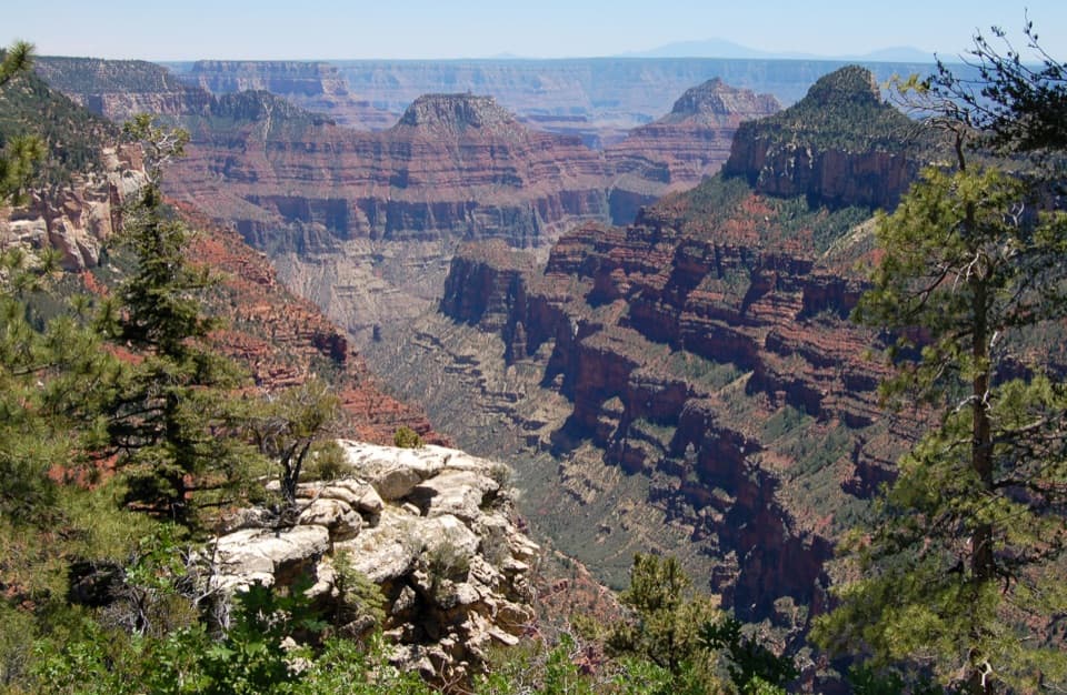
This is a strenuous, one-way rim-to-rim traverse from the North Kaibab Trailhead on the North Rim to the Bright Angel Trailhead in Grand Canyon Village. The route follows North Kaibab down Roaring Springs and Bright Angel canyons, passes the Phantom Ranch and Bright Angel Campground area, crosses the Colorado River on Silver Bridge, follows the River Trail to Bright Angel, then climbs to the South Rim. Allow about 23.5 miles one way; the mapped line is 23.27 miles, while commonly used trail totals round to about 24. It is not a loop, and the route length does not include the Ribbon Falls side trip.

Plan for a major effortThe North Rim stands about 5,800 feet above the river; from the river the Bright Angel climb…

The North Rim stands about 5,800 feet above the river; from the river the Bright Angel climb gains roughly 4,400 feet to the South Rim. A practical planning estimate is about 16 hours on foot with ordinary short rests, but no official time is published for this exact crossing and pace varies with heat, fitness, footing and stops. This is a very demanding day for even experienced canyon hikers. The National Park Service advises against hiking all of North Kaibab in one day, particularly in hot weather; many visitors should split the route at a permitted inner-canyon campground. Overnight backcountry camping requires a permit, while day hikes do not. Phantom Ranch lodging and meals require advance reservations when available. Because the route starts and ends on different rims, arrange the cross-rim vehicle shuttle before starting; it is a long drive between trailheads, not a short local pickup. North Rim road and services are seasonal, so check access before committing to dates.

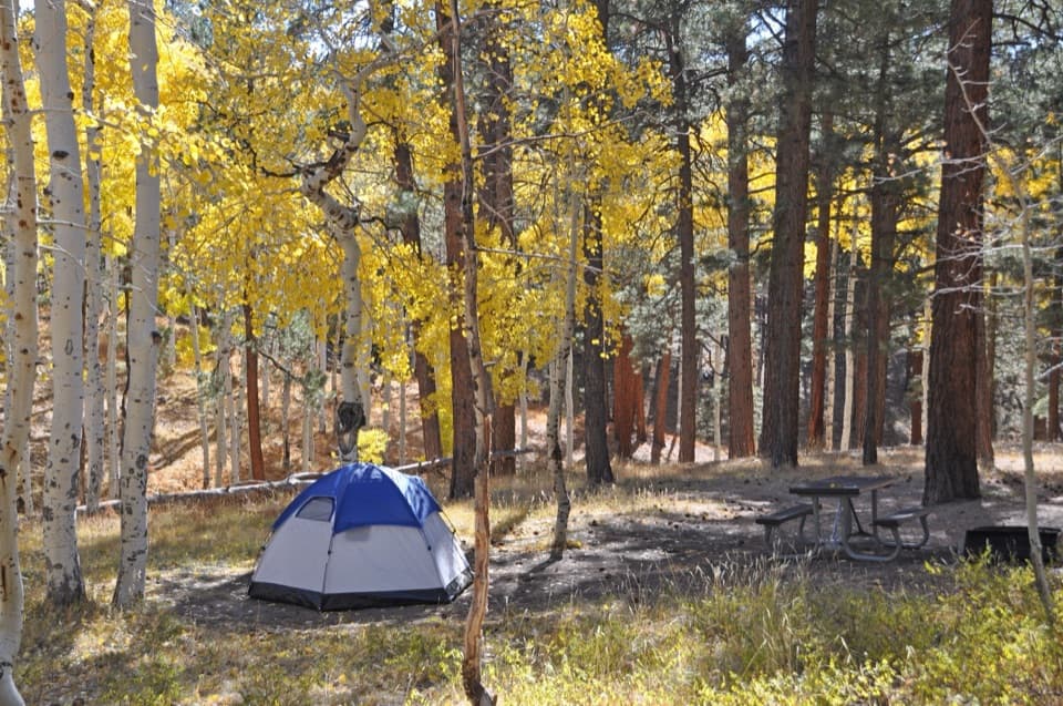
Down North KaibabThe trail starts in fir and aspen at the head of Roaring Springs Canyon, then drops through…

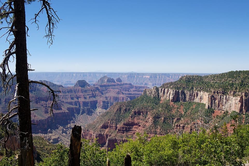
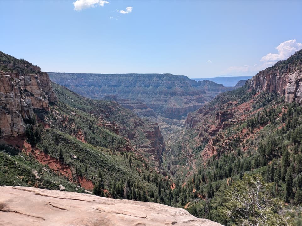
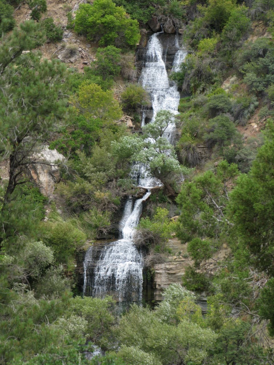
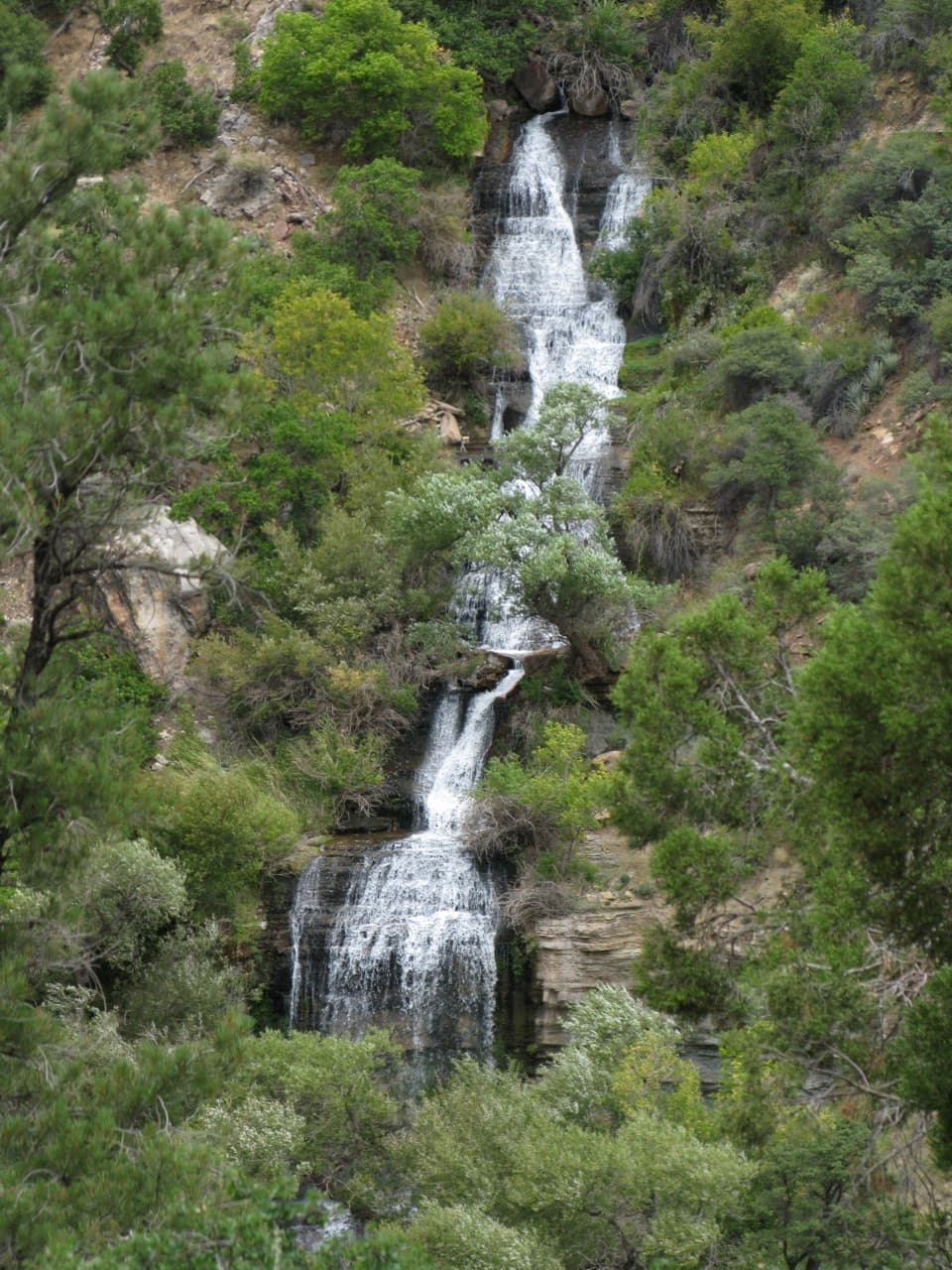
The trail starts in fir and aspen at the head of Roaring Springs Canyon, then drops through long switchbacks to Supai Tunnel. Below it, the route cuts across Redwall Limestone ledges, including half-tunnel sections blasted into the cliff. The views widen, but the tread is exposed above steep canyon slopes. Roaring Springs bursts from the canyon wall and forms Bright Angel Creek, which accompanies much of the lower route. Manzanita Rest Area, about 5.4 miles from the start, has historically listed toilets, shaded benches and seasonal water; treat the creek water before drinking and do not count on seasonal taps being available. The old Aiken residence nearby now serves as a ranger station.

From Cottonwood through the Inner GorgeCottonwood Campground is about 6.

Cottonwood Campground is about 6.8 miles below the North Rim, with toilets, food-storage boxes and seasonal water. Ribbon Falls lies on a separate side trip beyond it; that detour and its creek access are not part of the stored distance, and conditions can make a crossing unsafe. South of Cottonwood, the main trail enters the narrow Inner Gorge, where dark Vishnu Schist closes in around the path. Its contact with younger Tapeats Sandstone marks the Great Unconformity, a gap of more than a billion years in the geologic record. This low, enclosed stretch can become dangerously hot and offers little shade. At the river, the route passes the Bright Angel Campground and Phantom Ranch area before crossing Silver Bridge.

Climb Bright Angel to the South RimAfter Silver Bridge, stay on the River Trail to its Bright Angel junction; do not follow the…

After Silver Bridge, stay on the River Trail to its Bright Angel junction; do not follow the South Kaibab route across the river. Bright Angel climbs through the Inner Gorge toward Havasupai Gardens, then steepens across the Redwall and the exposed Devil’s Corkscrew switchbacks. The upper miles continue in tight turns to the South Rim village. The climb comes after the full North Kaibab descent, so conserve energy for the long finish rather than treating the river as the end of the hard work.

A route built around waterNorth Kaibab was built through the 1920s to connect the North Rim with the canyon interior.

North Kaibab was built through the 1920s to connect the North Rim with the canyon interior. An older alignment crossed Bright Angel Creek 94 times; the present trail crosses it six times. The pipeline that supplies the South Rim was installed beneath North Kaibab in 1965–1970 and is visible under Silver Bridge. Together, the forested rim, springs and creek, dark Inner Gorge and high South Rim switchbacks make this route a cross-section of the canyon’s ecosystems as well as its geology.

Wildlife

Wildlife in Grand Canyon

All Grand Canyon wildlife maps

Sighting maps show where each species has been reported across Grand Canyon. Wildlife moves, so no sighting is guaranteed.

Keep exploring

Near Rim-to-Rim: North Kaibab to Bright Angel

See it all on the map

Trails that start nearby

Places near the trailhead

Parkwolf’s Grand Canyon ranking

Top-rated trails in Grand Canyon

All 73 trails
  1. 2South Kaibab TrailChallenging · 6.3 mi
  2. 3Bright Angel TrailChallenging · 7.8 mi
  3. 4Rim TrailModerate · 12.8 mi
  4. 5Rim-to-Rim: South Kaibab to North KaibabChallenging · 21 mi
  5. 6Cape Royal TrailEasy · 0.8 mi
  6. 7South Kaibab–Bright Angel LoopChallenging · 15.8 mi

Take Parkwolf to Grand Canyon.

The audio tour guide for the drive, plus offline maps, trails, and wildlife heatmaps for when the signal drops.

4.7 from 8,600+ ratings

Download Parkwolf on the App StoreGet Parkwolf on Google Play