Cape Royal Trail in Grand Canyon National Park

#6 of 73 trails in Grand Canyon

Grand Canyon National Park, AZ

Cape Royal Trail

An easy paved walk to a natural arch and wide canyon views.

Photo: National Park Service
Length
0.8mi
Time
1hr
Elev. change
43ft
Difficulty
Easy
  • Dogs allowed
  • High point 7,907 ft

Hear the audio tour

Cape Royal and Angels Window

Overview

About Cape Royal Trail

Why go

  • Level pavement links two distinct canyon viewpoints.
  • Angels Window frames the Colorado River in a natural arch.

Heads up

  • The scenic drive is long for a short walk.

Map & elevation

The route

Loading the Grand Canyon map
Full map
Elevation7,864–7,907 ft
TrailheadCape Royal Trailhead (southeast side of parking area)36.12226, -111.94946
Keep this map with you offline in the Parkwolf app

Plan your hike

Before you go

Parking

Start at the southeast side of the Cape Royal parking area. The multi-lane lot has a vault toilet on the north side and a picnic area to the west. Cape Royal is about 23 road miles from the North Rim developed area (29 miles from the entrance station).


Safety

Cape Royal Road is narrow and winding with blind corners. Vehicles longer than 22 feet, and vehicle-trailer combinations over 22 feet total, are not permitted.

4 active Grand Canyon alerts

  • ClosureInner Canyon and North Rim trail closuresMentions North Rim, referenced in this guideDo not enter the closed trails, bridges, campgrounds, and inner-canyon areas.Official details
  • ClosureNorth Rim scenic roads closed for repairsMentions North Rim, referenced in this guideCape Royal Road and Point Imperial Road are closed from sunset October 15 through sunrise November 3, 2026. - The roads are closed to accommodate critical road repair and rehabilitation work.Official details
See all 4 alerts
A park ranger sits on a dash-mounted phone, talking, as Parkwolf’s Tour Guide plays “Army Cutworm Moths: A Grizzly Bear Buffet” on Grand Loop Road below Dunraven Pass in Yellowstone
Parkwolf Tour GuideThe highest, rockiest slopes around here are a summer buffet for grizzly bears.

Grand Canyon Tour Guide

Your drive to Cape Royal Trail, narrated.

Parkwolf is a GPS audio tour guide for Grand Canyon National Park. As you drive, it chimes in with what’s ahead: hidden gems, upcoming stops, history, geology, and wildlife, right through your car’s speakers.

See the Grand Canyon audio tour

Recorded for this trailhead

Cape Royal and Angels Window
0:00 / 0:32
“You're nearing Cape Royal, where a nearly level paved walk leads to one of the North Rim's widest panoramas.”

Plays as you drive up to this trailhead in the Parkwolf Grand Canyon Tour Guide.

More stories near here in the app

  • Cliff Springs’ Ravine Walk
  • Walhalla Overlook and Pueblo
  • Cape Final’s Forest Walk
  • Why the Map Has Temples
  • 79 audio storiesacross Grand Canyon’s roads, triggered by GPS as you drive
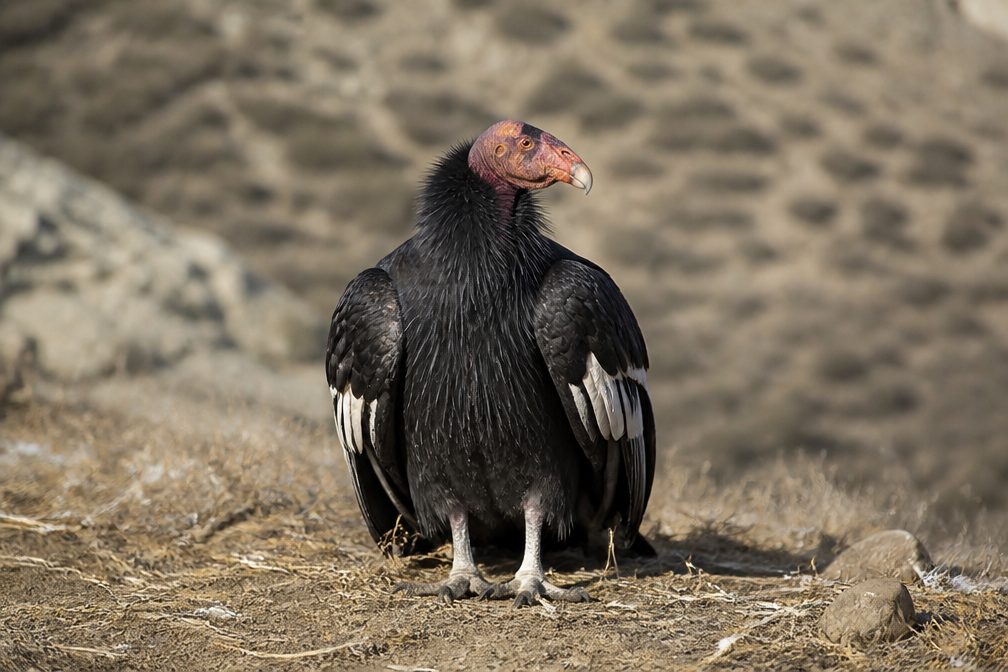
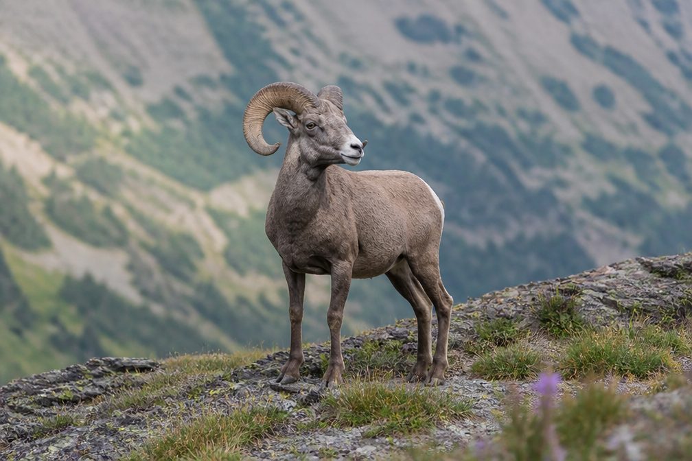
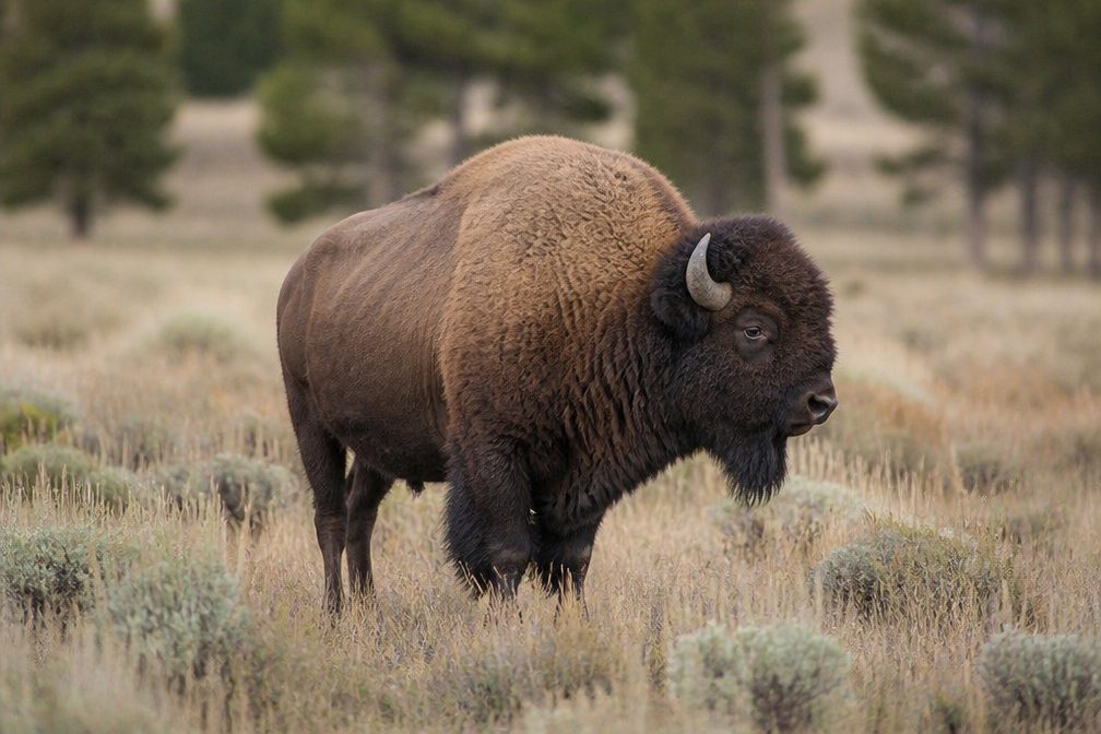
  • Wildlife heatmapsfor California Condor, Bighorn Sheep, American Bison, and 13 more
  • Works offlinemaps, 73 trails, 96 places, and audio download before you lose signal
  • CarPlay readysimple controls built for the drive
★★★★★
“Fantastic app with many points of information… It’s great to just turn on while you’re driving and it gives you an audio tour of the national Park. We love it!!!!”
JMJamesApp Store review
Download Parkwolf on the App StoreGet Parkwolf on Google Play

4.7 from 8,600+ ratings

Trail guide

Hiking Cape Royal Trail

Make room for both rim viewsCape Royal Trail is an easy, paved out-and-back from the southeast side of Cape Royal parking…

Cape Royal Trail is an easy, paved out-and-back from the southeast side of Cape Royal parking area to the point at Cape Royal. The main path is about 0.4 mile each way; plan on 0.8 mile round trip and about an hour to walk and stop at the overlooks. Published trail distances vary from 0.6 to 0.8 mile, so treat 0.8 as the useful figure for the main route and leave extra time for the side path to Angels Window. The drive is long for such a short walk, so it makes more sense as part of the North Rim scenic drive than as a quick stop on its own.

Take the side path, then keep goingThe main route is paved, stone-edged and nearly level.

The main route is paved, stone-edged and nearly level. About halfway along, a smaller paved branch turns left to a guardrailed lookout along the top of Angels Window. The natural arch frames the Colorado River far below. Return to the junction and continue to Cape Royal; the point at the end gives you a much broader view than the arch alone. The branch is a separate detour, and its added distance is not stated consistently in the published trail information.

Pick out the landmarksCape Royal sits near 7,865 feet and opens onto a sweeping view across the canyon.

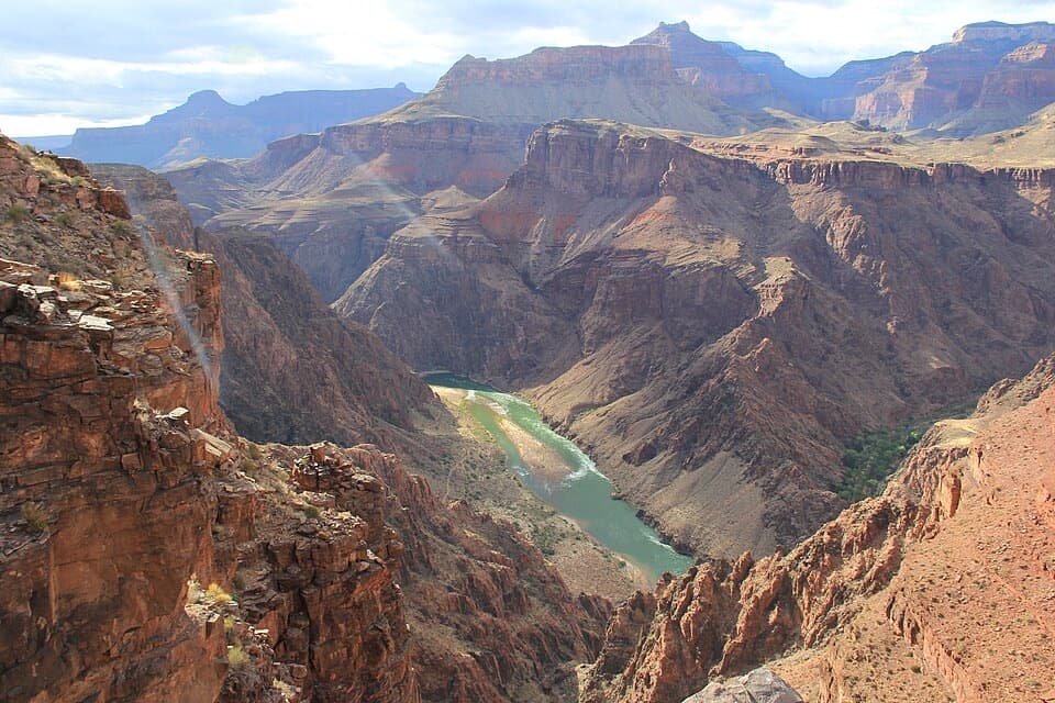
Cape Royal sits near 7,865 feet and opens onto a sweeping view across the canyon. Look for the Colorado River below, the Painted Desert to the east, and the prominent formations Freya Castle and Vishnu Temple. The South Rim's Desert View Watchtower is visible across the canyon. For a photo at Angels Window, frame the river through the opening; at Cape Royal, the layered ridges and far-off landmarks make the wide view the point. Sunset light brings out red and orange walls against deep purple shadows.

Make the drive workThe parking area has a vault toilet on its north side and a picnic area to the west.

The parking area has a vault toilet on its north side and a picnic area to the west. Leashed pets are allowed on the trail. Cape Royal is about 23 road miles from the North Rim developed area and 29 miles from the entrance station. Cape Royal Road is narrow and winding, with blind corners; vehicles longer than 22 feet and vehicle-trailer combinations over 22 feet total are not permitted.

Wildlife

Wildlife in Grand Canyon

All Grand Canyon wildlife maps

Sighting maps show where each species has been reported across Grand Canyon. Wildlife moves, so no sighting is guaranteed.

Keep exploring

Near Cape Royal Trail

See it all on the map

Trails that start nearby

Places near the trailhead

Parkwolf’s Grand Canyon ranking

Top-rated trails in Grand Canyon

All 73 trails
  1. 1Rim-to-Rim: North Kaibab to Bright AngelChallenging · 23.5 mi
  2. 2South Kaibab TrailChallenging · 6.3 mi
  3. 3Bright Angel TrailChallenging · 7.8 mi
  4. 4Rim TrailModerate · 12.8 mi
  5. 5Rim-to-Rim: South Kaibab to North KaibabChallenging · 21 mi
  6. 7South Kaibab–Bright Angel LoopChallenging · 15.8 mi

Take Parkwolf to Grand Canyon.

The audio tour guide for the drive, plus offline maps, trails, and wildlife heatmaps for when the signal drops.

4.7 from 8,600+ ratings

Download Parkwolf on the App StoreGet Parkwolf on Google Play