Parking
Start in Teton Village at the Jackson Hole Aerial Tram and ride to the upper terminal; the walk begins there and ends on Valley Trail near the village.
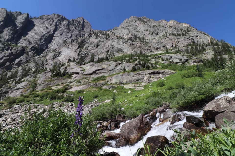
Grand Teton National Park, WY
The tram saves 2,400 feet before a long canyon traverse.
Overview
The Tram/Death Canyon Loop via Valley Trail is a 21.9-mile high-country backpacking route from Teton Village. Ride the Jackson Hole Aerial Tram to its upper terminal, then hike across the Granite Canyon side of the Teton Crest, over Fox Creek Pass, down Death Canyon and back toward the village on Valley Trail. The tram makes the loop possible: the walking line starts at the summit and finishes near the village, so it is a point-to-point hike on foot. Allow roughly 14 hours of hiking, usually split over one or two nights; this is not a casual day walk.
 Parkwolf’s verdictIs this the hike for you?
Map & elevation
Plan your hike

The highest, rockiest slopes around here are a summer buffet for grizzly bears.
Grand Teton Tour Guide
Parkwolf is a GPS audio tour guide for Grand Teton National Park. As you drive, it chimes in with what’s ahead: hidden gems, upcoming stops, history, geology, and wildlife, right through your car’s speakers.
See the Grand Teton audio tourMore stories near here in the app
“…We have been driving around with the audio tour and it has been informational and spot on. The whole family has been impressed. We used it for Yellowstone and Grand Teton.”


Trail guide
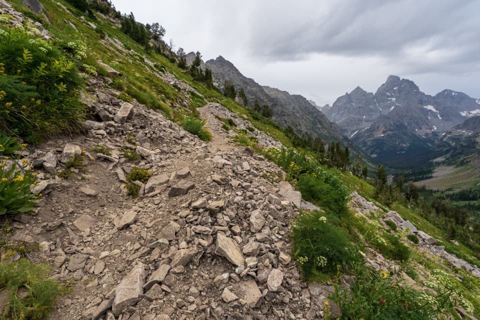
The tram saves about four miles and 2,400 feet of climbing compared with hiking up from Granite Canyon. From the upper terminal, the route crosses open high country before Fox Creek Pass, where the Teton peaks open to the north. This is a long, committed route above 9,000 feet, with exposed stretches where a fast change in weather matters.
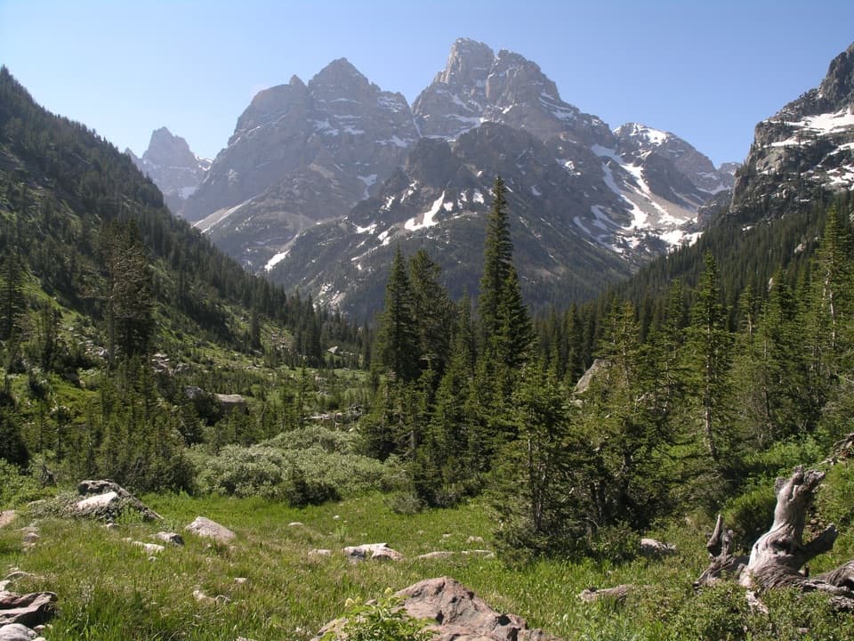
After Fox Creek Pass, the route drops through Death Canyon and joins Valley Trail for the return toward Teton Village. The long descent trades open alpine ground for a narrower canyon of rock walls and rushing water. Keep the distance convention straight when comparing routes: this is the tram-start itinerary, not the longer loop that begins at Death Canyon Trailhead.
Overnight stays in the park backcountry require a permit for a designated campsite or zone. Teton Crest camping zones can fill on most nights from late July into early September, so secure the right zone before you commit to this route. The tram has a fee. Pets are prohibited on park trails and in the backcountry.
Wildlife
 172 sightingsGrizzly BearMost seen around 7 PMSighting map
 195 sightingsBrown BearMost seen around 6 AMSighting map
 32 sightingsGray WolfMost seen around 7 PMSighting map
 1,816 sightingsMooseMost seen around 7 AMSighting map
 614 sightingsBisonMost seen around 6 AMSighting map
 738 sightingsElkMost seen around 7 PMSighting map
Sighting maps show where each species has been reported across Grand Teton. Wildlife moves, so no sighting is guaranteed.
Keep exploring
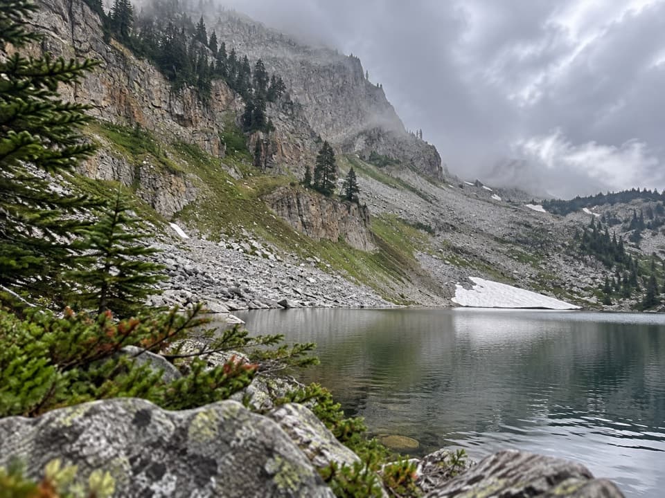 ChallengingMarion Lake via Aerial Tram13 mi · 11 hr · At the trailheadA tram cuts the climb; the lake still costs a full day.
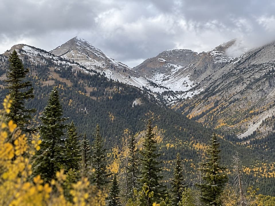 ChallengingOpen Canyon via Aerial Tram19.4 mi · 10.5 hr · At the trailheadStart high, cross Mount Hunt Divide, then drop into Open Canyon.
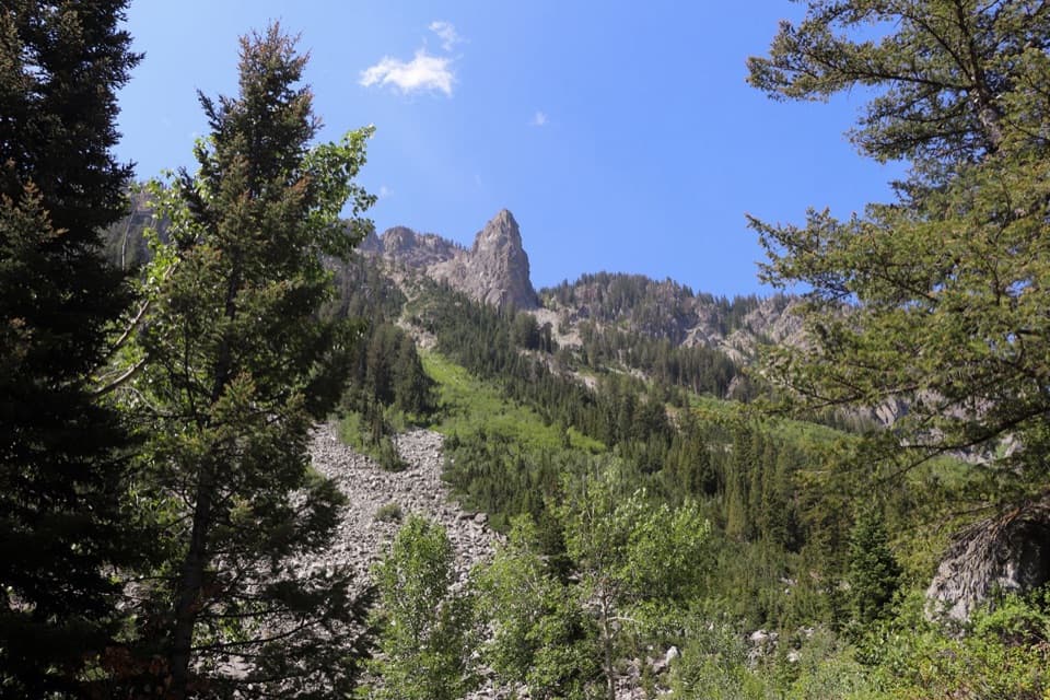 ChallengingGranite Canyon via Aerial Tram12.9 mi · 9 hr · At the trailheadA 12.9-mile tram descent through Granite Canyon to Teton Village.
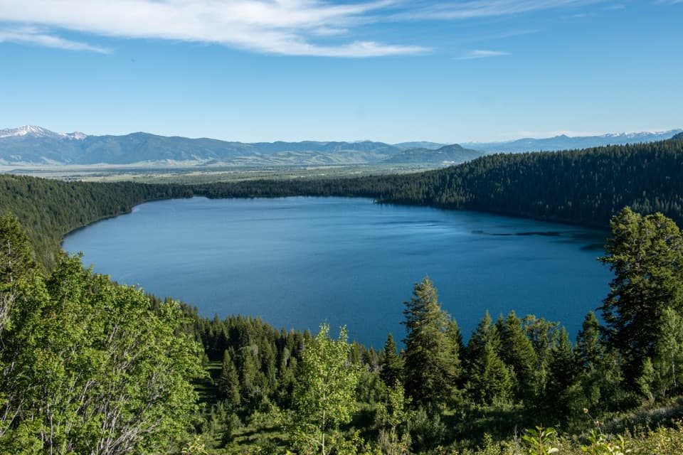 ChallengingValley Trail to Phelps Lake Overlook13.2 mi · 8 hr · 2.3 mi awayA long Teton Village climb to the Phelps Lake overlook.
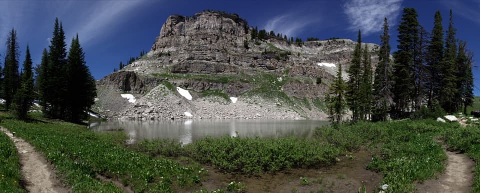 ChallengingMarion Lake via Granite Canyon18.8 mi · 12 hr · 4 mi awayA full day up Granite Canyon to a high alpine lake.
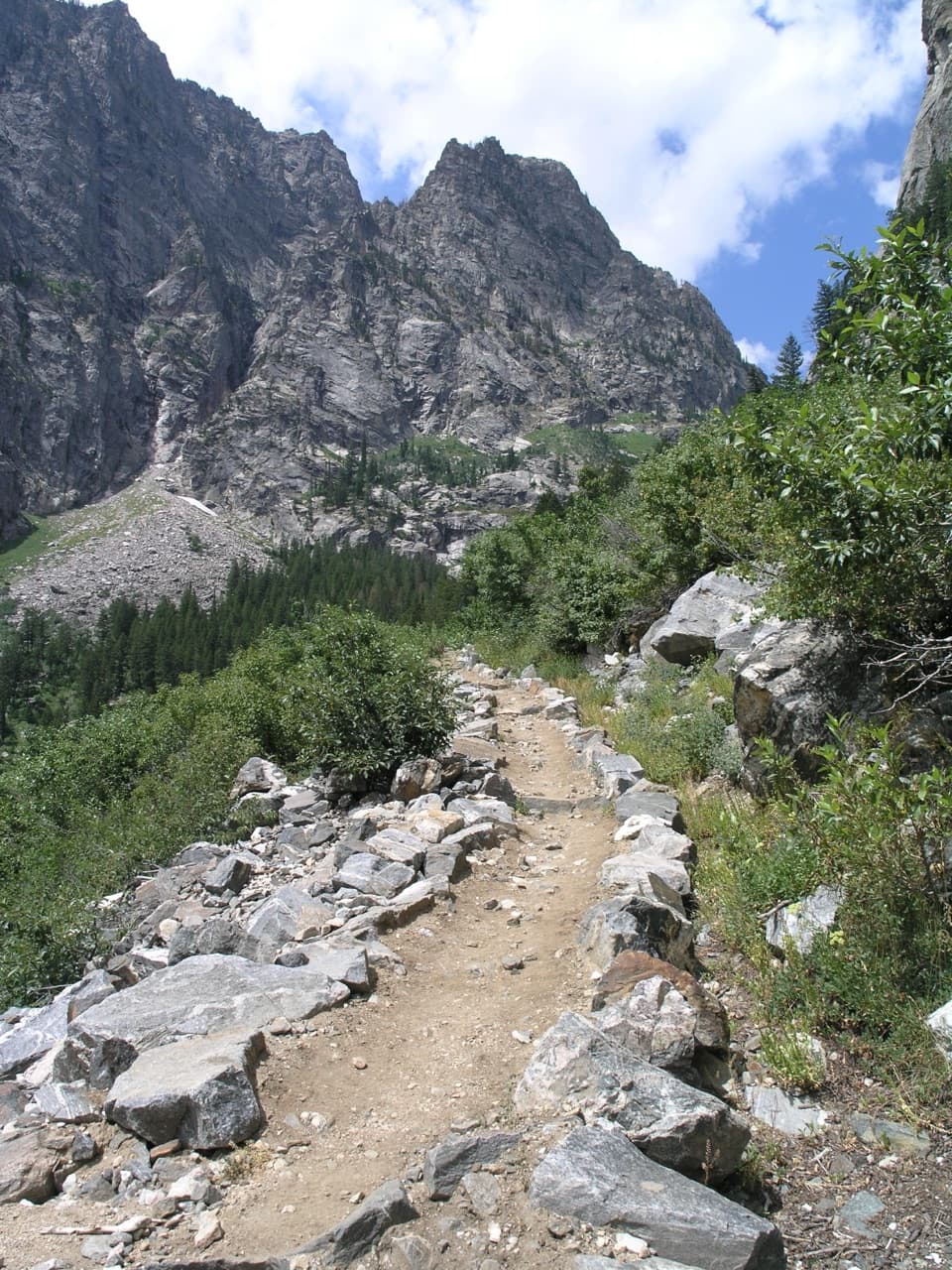 ChallengingGranite Canyon - Fox Creek Pass - Death Canyon Loop24.2 mi · 16 hr · 4 mi awayTwo nights link Granite Canyon, Fox Creek Pass, and Death Canyon.
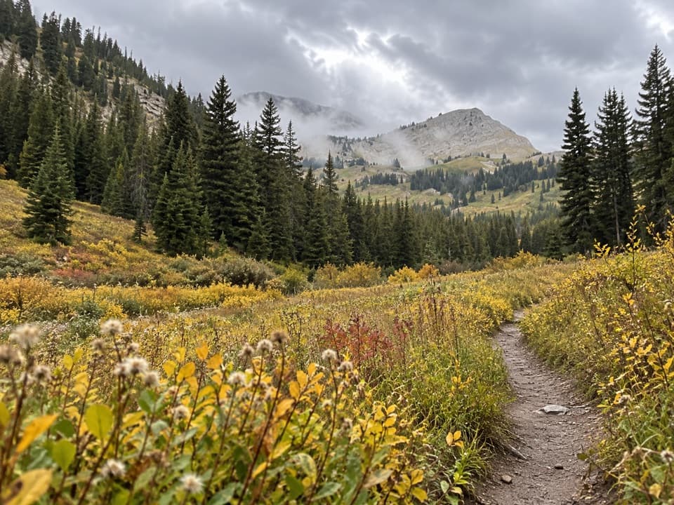 ChallengingGranite Canyon Trail13.4 mi · 9 hr · 4 mi awayA whole day beside Granite Creek, climbing through wildflower meadows.ChallengingGranite Canyon/Open Canyon Loop via Valley Trail20.2 mi · 11 hr · 4 mi awayA 20 mile loop over Mount Hunt Divide and down Open Canyon.Sight · 3.4 mi awayMarion LakeA hard hike to an alpine lake below Housetop Mountain.Sight · 4.9 mi awayPhelps LakeA mountain lake with a sandy beach and a distinctive boulder.
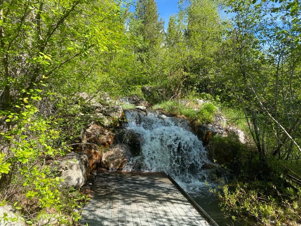 Sight · 5.1 mi awayLake Creek OverlookA quick, accessible stop beside Lake Creek's small cascade.
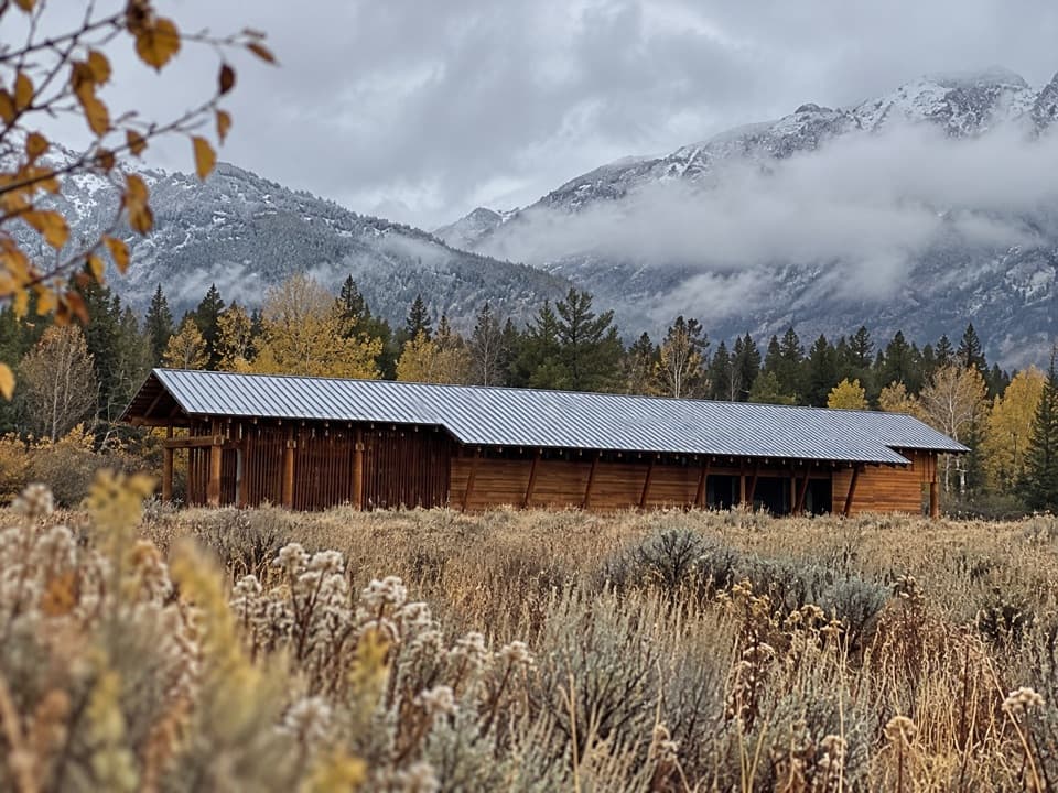 Visitor center · 5.2 mi awayLaurance S. Rockefeller Preserve CenterA sensory introduction to the preserve before the Phelps Lake walk.Sight · 5.5 mi awayPhelps Lake OverlookA forest hike opens onto a wide view of Phelps Lake.
 Sight · 6.3 mi awayWhite Grass Dude RanchA 1919 dude ranch became a center for preserving western park buildings.
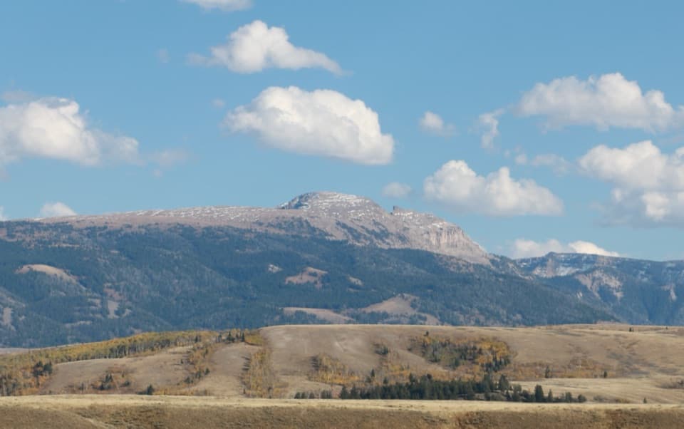 Scenic pullout · 7.5 mi awaySleeping Indian TurnoutA quick pause to find Sheep Mountain’s reclining profile.
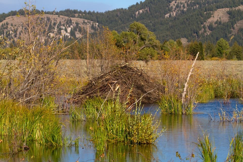 Sight · 7.7 mi awaySawmill Ponds OverlookA spring-fed beaver pond with a 1920s sawmill story.
Parkwolf’s Grand Teton ranking
The audio tour guide for the drive, plus offline maps, trails, and wildlife heatmaps for when the signal drops.