Parking
Start at Taggart Lake Trailhead. The lot often fills in summer; arrive early. Use roadside parking only where signed and pull fully off the main road.
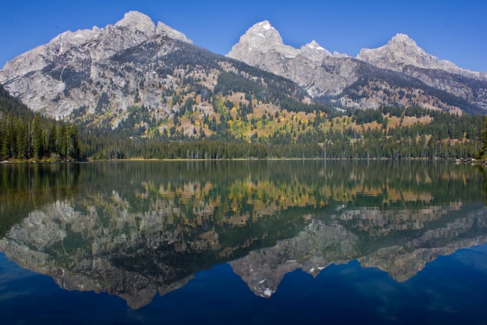
#5 of 70 trails in Grand Teton
Grand Teton National Park, WY
A mellow climb through aspens to a lake under the Tetons.
Overview
Map & elevation
Plan your hike

The highest, rockiest slopes around here are a summer buffet for grizzly bears.
Grand Teton Tour Guide
Parkwolf is a GPS audio tour guide for Grand Teton National Park. As you drive, it chimes in with what’s ahead: hidden gems, upcoming stops, history, geology, and wildlife, right through your car’s speakers.
See the Grand Teton audio tourRecorded for this trailhead
Taggart Lake: A Two-Hour Mountain Walk“You're approaching Taggart Lake Trailhead, a good choice for a mountain lake without an all-day hike.”
Plays as you drive up to this trailhead in the Parkwolf Grand Teton Tour Guide.
More stories near here in the app
“…We have been driving around with the audio tour and it has been informational and spot on. The whole family has been impressed. We used it for Yellowstone and Grand Teton.”


Trail guide
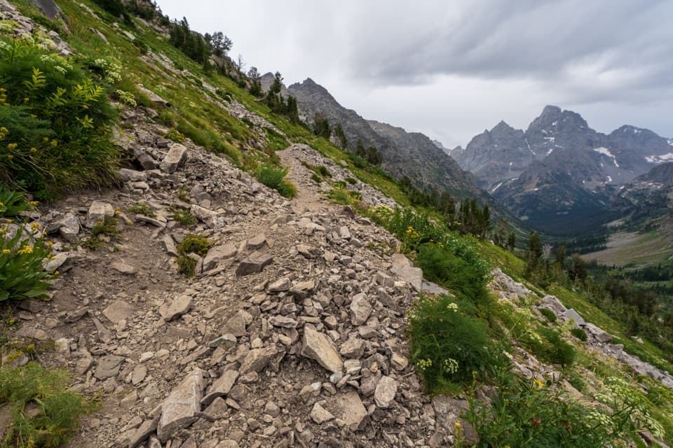
Taggart Lake Trail is a 3-mile out-and-back from Taggart Lake Trailhead, climbing through aspen forest to a glacial lake beneath the Teton Range. The park describes it as easy and gives one to two hours; about 360 feet of gain makes it a manageable choice when you want a mountain view without committing to an all-day climb. The tread still has rocks and steps, so expect to watch where you place your feet rather than stroll on a smooth path. The route is the classic walk to Taggart Lake and back, not either of the longer loops that share its starting area.
From the trailhead, the path winds uphill across an aspen-covered moraine. As it climbs, the trees begin to open and the Teton views appear. At the junction for Bradley Lake, stay left for Taggart Lake. The trail then eases out and continues toward the shore. The distance above includes the outward and return walk; the mapped route follows the trail once, so you retrace that same corridor to get back to the parking area.
The NPS calls this an easy hike, but the rocky patches and steps make steady footing useful, especially for anyone who is less sure on uneven ground. The climb comes on the way in and the return is on the same trail. Give yourself time to pause where the views open instead of treating the listed hour range as a pace target.
Taggart Lake Trailhead is the right access for this route. Its parking area often fills in summer, so an early start improves the chance of finding a space. If the lot is full, park only where signs permit and pull fully off the main road. No activity fee or reservation is listed for the hike, though Grand Teton entrance fees may apply. Dogs are not allowed on this trail. In winter, the route is used with snowshoes or cross-country skis; carry water for everyone in your group.
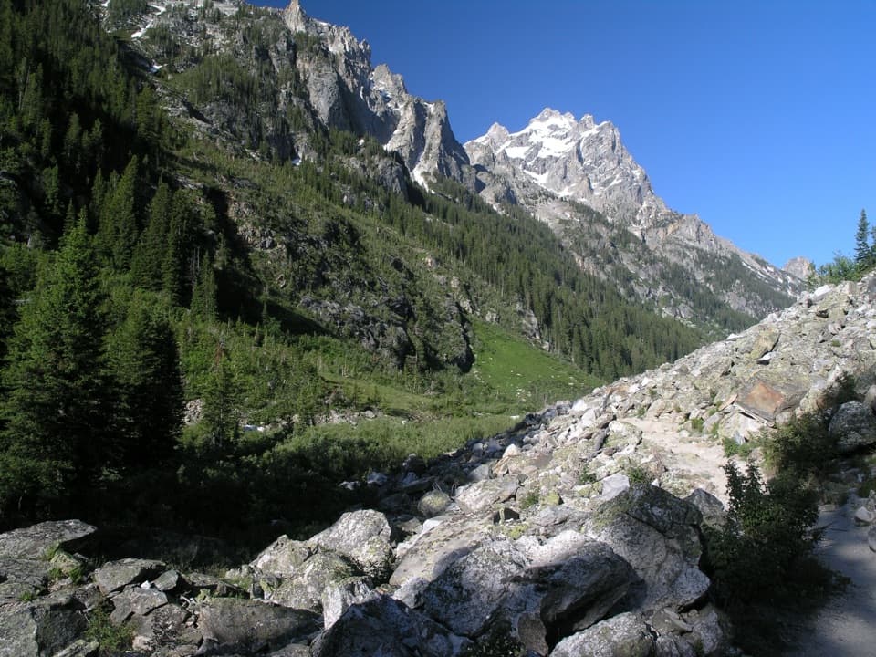
The first climb crosses a moraine, a ridge of rock and sediment left where a glacier pushed and dropped debris. Glaciers shaped this part of the Teton Range by widening canyons and scooping out basins that later held lakes. They also left the rocky ridges around those lakes. Taggart is one of the lakes framed by this glacial landscape, so the uphill section is more than a warm-up: it takes you across the material the ice left behind.
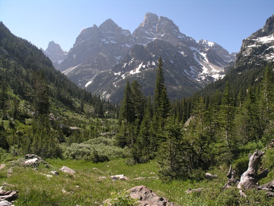
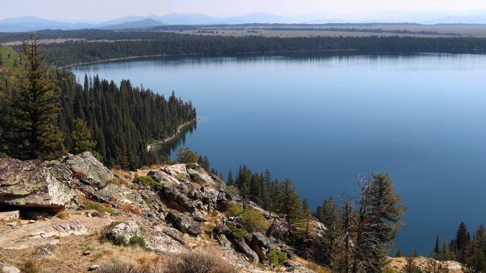
At the end, the trees give way to Taggart Lake and the Teton skyline. The lake is the payoff for the steady approach, with a shoreline where you can stop and look back toward the peaks. On a calm day, the water can hold their reflection. For a photo, include some of the near shore as well as the mountains; that gives the view a foreground and shows the lake's position below the range.
Bears are active in the area. Stay alert as you hike and give wildlife plenty of room; never approach an animal for a closer look or a photograph. Follow any current direction from park staff.
Wildlife
 172 sightingsGrizzly BearMost seen around 7 PMSighting map
 195 sightingsBrown BearMost seen around 6 AMSighting map
 32 sightingsGray WolfMost seen around 7 PMSighting map
 1,816 sightingsMooseMost seen around 7 AMSighting map
 614 sightingsBisonMost seen around 6 AMSighting map
 738 sightingsElkMost seen around 7 PMSighting map
Sighting maps show where each species has been reported across Grand Teton. Wildlife moves, so no sighting is guaranteed.
Keep exploring
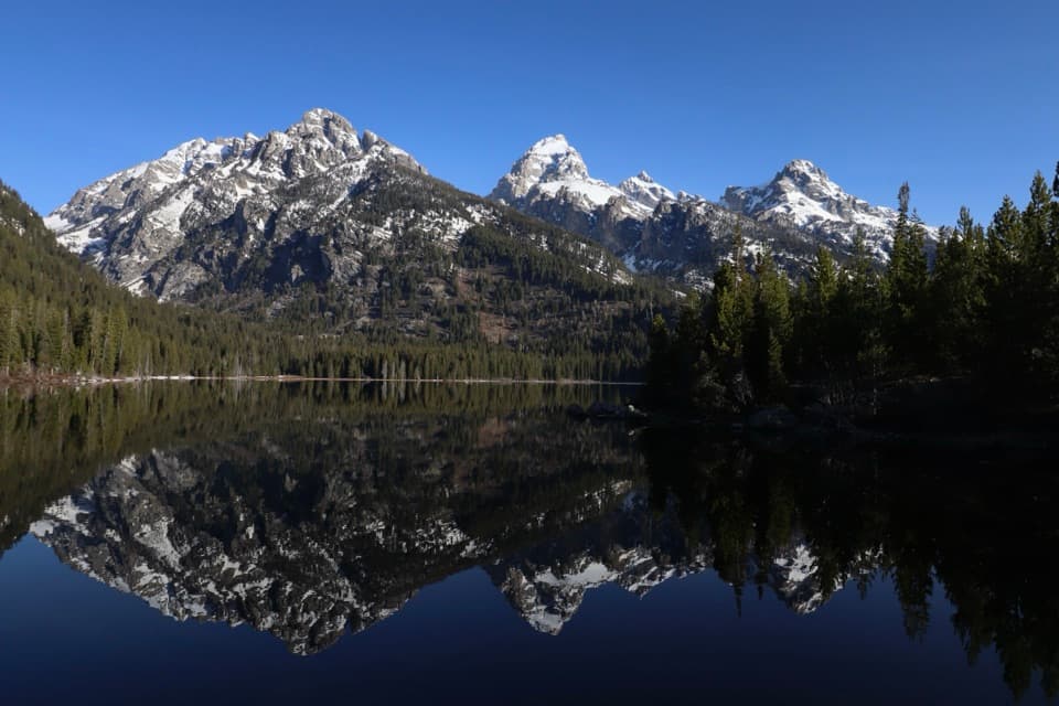 ModerateTaggart Lake–Bradley Lake Loop5.6 mi · 2.8 hr · At the trailheadTwo alpine lakes and a ridge walk beneath the high Tetons.EasyTaggart Lake - Beaver Creek Loop3.8 mi · 2.5 hr · At the trailheadA 3.8-mile lake loop with a moraine climb and creekside return.
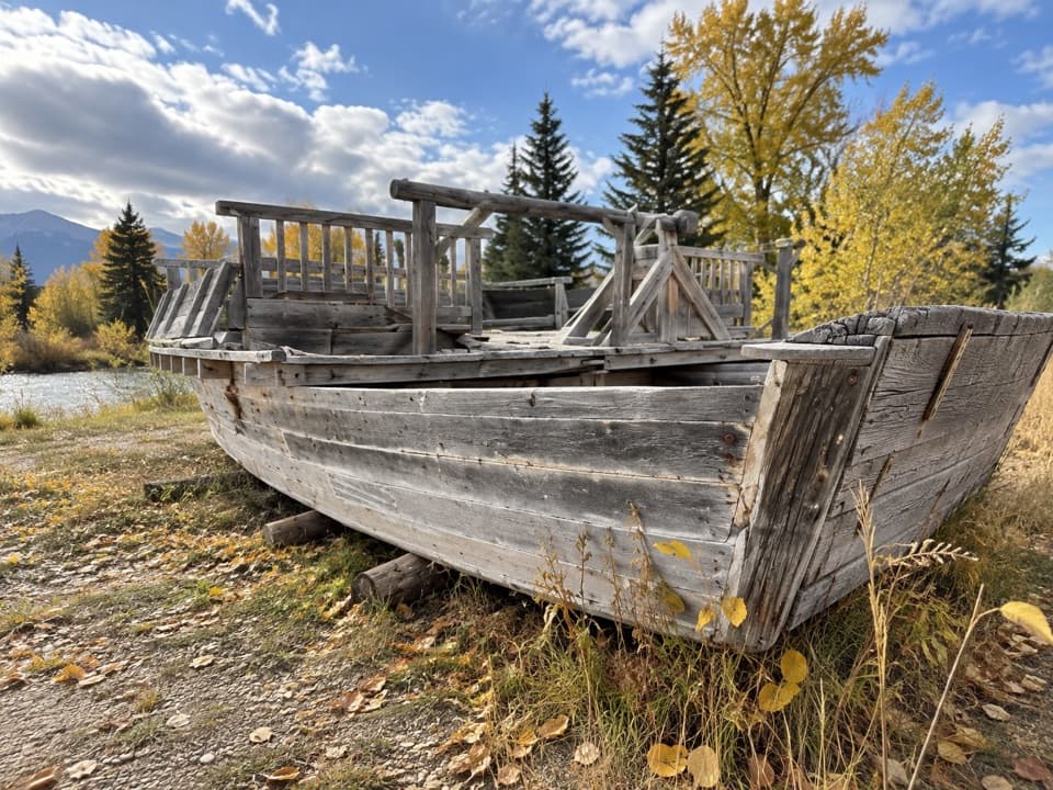 EasyMenor's Ferry Trail0.4 mi · 45 min · 2.5 mi awayA riverside loop visits a replica of Jackson Hole’s historic ferry.
 ChallengingBlacktail Butte Peak Trail6.1 mi · 4 hr · 2.8 mi awayA steep climb earns a broad Teton view from an open ridge.
 EasyMurie Ranch Trail1.1 mi · 45 min · 2.9 mi awayA flat, wooded walk to a landmark of conservation history.
 ChallengingDelta Lake Trail7.6 mi · 6 hr · 2.9 mi awayA steep boulder climb to turquoise water below the Tetons.
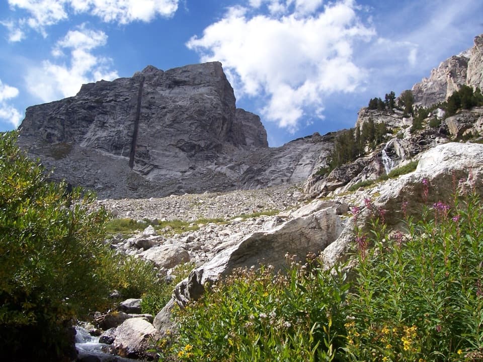 ChallengingGarnet Canyon Trail8.2 mi · 5 hr · 2.9 mi awayA steep approach to a boulder field below Middle Teton.
 EasySchwabacher Landing Trail0.6 mi · 30 min · 3.4 mi awayBeaver ponds turn the Tetons into a morning mirror.
 Picnic area · 0.3 mi awayCottonwood Creek Overlook and Picnic AreaPicnic tables, the Manges cabin and fall aspens below the Tetons
 Lodging · 0.8 mi awayGrand Teton Climbers’ RanchA rustic climbers’ base with shared bunks and Teton views.
 Scenic pullout · 1.2 mi awayWindy Point TurnoutA quick view of the central Tetons, with pathway access.
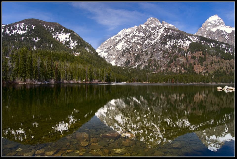 Sight · 1.3 mi awayTaggart LakeA three-mile hike ends at a glacial lake under the Tetons.
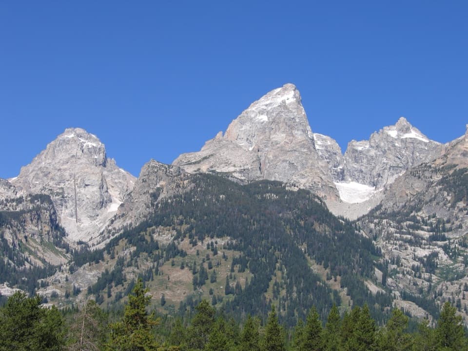 Sight · 1.4 mi awayTeton Glacier TurnoutA roadside chance to spot the park’s largest glacier.
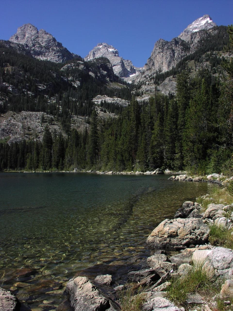 Sight · 1.6 mi awayBradley LakeA second alpine lake with a strong view of Garnet Canyon.
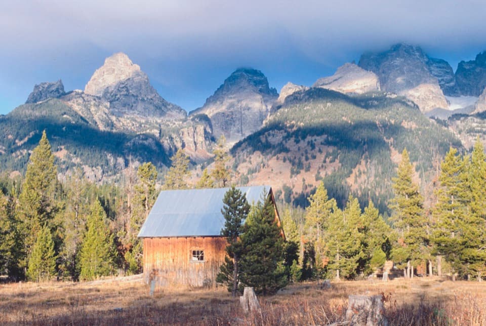 Sight · 1.7 mi awayLucas-Fabian HomesteadA homestead stop with Teton views and a 58-year-old climber's story.
 Sight · 1.9 mi awayBar BC Dude RanchWalk among cabins from Jackson Hole's early dude-ranch era.
Parkwolf’s Grand Teton ranking

The audio tour guide for the drive, plus offline maps, trails, and wildlife heatmaps for when the signal drops.