Parking
Start at Sheoak Falls Car Park on the Great Ocean Road, beside the information board. The car park has no other facilities.
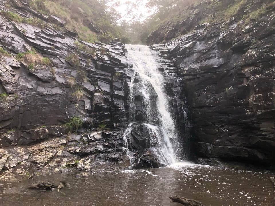
#7 of 109 trails in Great Ocean Road
Great Ocean Road, VIC
A short, steep creek walk to a waterfall and shaded cave.
Overview
Map & elevation
Plan your hike

The highest, rockiest slopes around here are a summer buffet for grizzly bears.
Great Ocean Road Tour Guide
Parkwolf is a GPS audio tour guide for Great Ocean Road. As you drive, it chimes in with what’s ahead: hidden gems, upcoming stops, history, geology, and wildlife, right through your car’s speakers.
See the Great Ocean Road audio tourRecorded for this trailhead
Sheoak Falls and Swallow Cave“Sheoak Falls is coming up, with a short but steep walk to a fifteen-metre cascade in a dark rocky gorge. Stop if the creek is running; after a dry spell, the waterfall can dwindle to a trickle.”
Plays as you drive up to this trailhead in the Parkwolf Great Ocean Road Tour Guide.
More stories near here in the app
“Fantastic app with many points of information… It’s great to just turn on while you’re driving and it gives you an audio tour of the national Park. We love it!!!!”


Trail guide
Sheoak Falls and Swallow Cave is a roughly 2.5 km out-and-back walk from Sheoak Falls Car Park on the Great Ocean Road. Allow about an hour for the short but steep route, which visits the falls first, then continues beside Sheoak Creek to the Swallow Cave viewpoint before returning to the car park. The payoff is a pair of very different creek scenes: a waterfall dropping into a shaded pool and an upper gorge framed by rock, forest and cascades.
This is a compact walk, but expect a proper climb on steep steps and uneven natural surfaces. It suits walkers comfortable with stairs and a creek crossing; it is not a level stroll. The cave extension is the part to judge carefully: the route crosses the creek on stepping stones, and the stones can become unsafe or disappear under high water. If water covers them, turn back rather than trying to wade across.
From the road car park, follow the signed track as it descends through coastal vegetation toward the creek. Sections of boardwalk and steps lead into the gorge. The falls spur brings you to a viewing platform at the base of Sheoak Falls, where the creek drops about 15 metres down a dark rock face into a deep pool. Water ferns and the steep, tree-covered sides make this a shaded, enclosed place.
Pause at the platform, then retrace the spur to the junction. The falls are a worthwhile stop in their own right, but they are only the first half of this particular outing. A separate, shorter falls-only walk is listed from a lower car park; that route is not the cave walk described here.
At the junction, take the continuing track uphill on a flight of steep steps. A higher gully lookout opens over Sheoak Creek and the rock shelter known as Swallow Cave. The forested hillsides and creek corridor are close around the track, and the climb makes the walk feel more substantial than its distance suggests.
Continue to the creek crossing and use the stepping stones only when they are clearly exposed and safe. Beyond the crossing, follow the signed path past the branch toward Sheoak Picnic Ground to the Swallow Cave viewing point. The walking route reaches a viewpoint beside the cave; this is not a reason to leave the track or climb on the rock.
At the end, look across the high cliffs toward the rocky outcrop where Sheoak Cascades spill down when the creek is flowing. The cave, cascade and forested gorge make a more open, layered scene than the falls platform below. For a photograph, frame the shaded overhang with the creek or cascade in view when water is running, while staying on the marked path and away from the edge.
Flow varies with recent rain, so the cascades and waterfall may be less prominent in a dry spell. The route is still a short forest-and-creek walk, but the water changes how dramatic its main views feel.
Tree Martins breed in the area and are often seen around the cave from spring into early autumn. Other woodland birds may be heard along the creek, though sightings are never guaranteed. The road car park has an information board; there are no other facilities at this trailhead, so do not count on toilets, water or food here. Dogs are not permitted on trails in the Lorne area of the national park.
The return follows the same route to the car park. A falls-only visit is the shorter alternative if you do not want the climb and stepping-stone crossing; it is a separate route and access point, not a shortcut to Swallow Cave.
Wildlife
 900 sightingsKoalaMost seen around 5 PMSighting map
 358 sightingsKangarooMost seen around 6 PMSighting map
 49 sightingsLittle PenguinMost seen around 8 PMSighting map
 155 sightingsEchidnaMost seen around 6 PMSighting map
 33 sightingsFur SealMost seen around 6 PMSighting map
 59 sightingsRed-necked WallabyMost seen around 6 AMSighting map
Sighting maps show where each species has been reported across Great Ocean Road. Wildlife moves, so no sighting is guaranteed.
Keep exploring
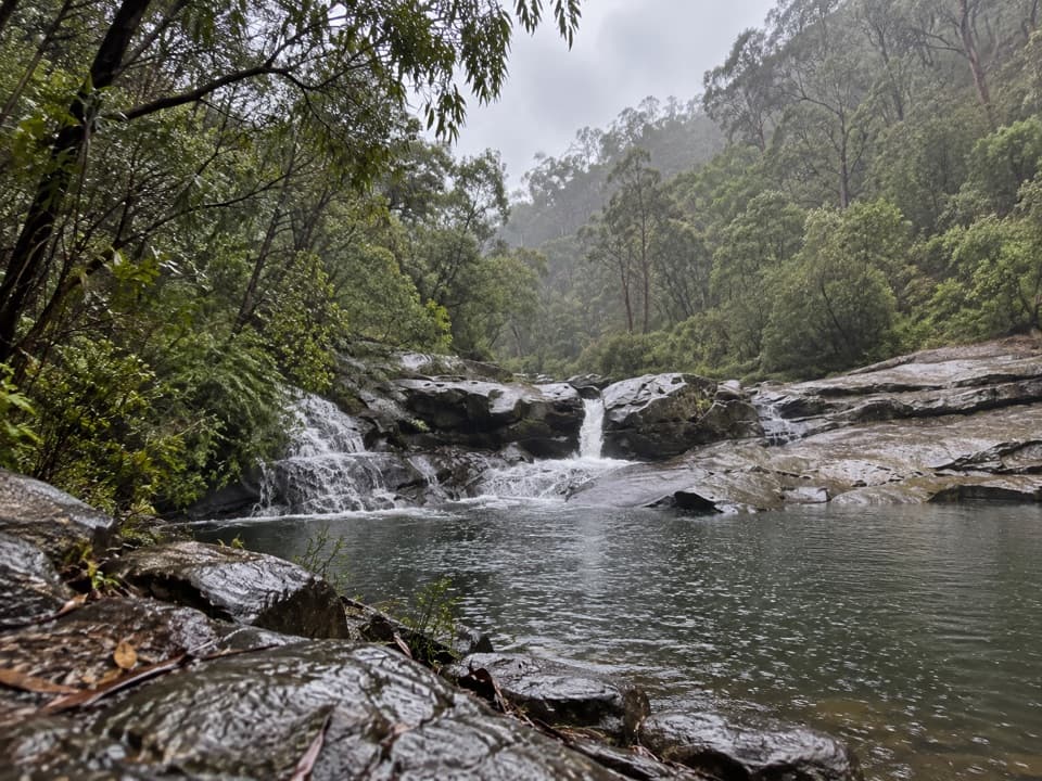 ModerateCumberland River Trail6 km · 4 hr · 1.5 km awayA waterfall walk that turns into a rocky scramble above Jebb’s Pool.
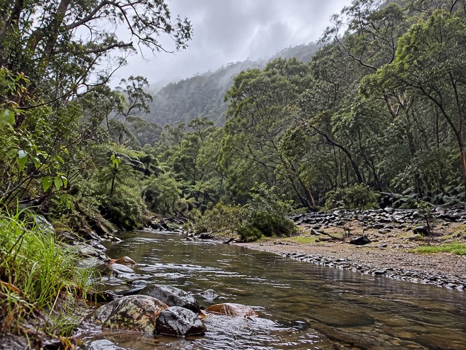 ModerateCumberland River–Jebbs Pool Walk3 km · 1.5 hr · 1.5 km awayA short gorge walk with rock pools and a river crossing.
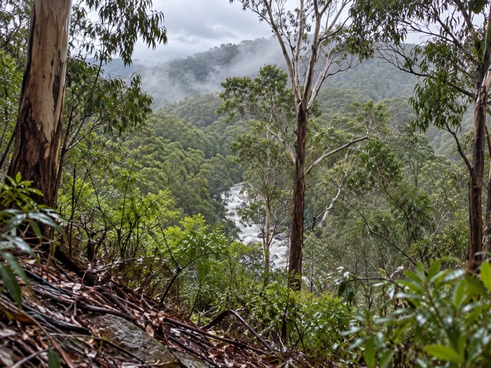 ModerateOcean Walk/Cherry Tree Creek Walk2.4 km · 1 hr · 1.9 km awayA wooded climb beside St George River to Allenvale Road.
 ModerateSt Georges River Loop5 km · 2 hr · 1.9 km awayClimb through eucalypts, then follow a fern-lined river back.
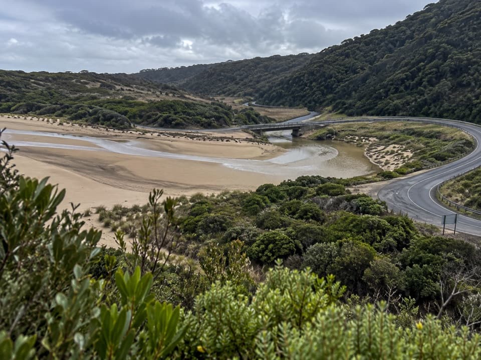 ModerateSt George River Walk2.7 km · 1 hr · 2 km awayA mostly flat river walk through fern gullies and past rocky pools.
 ModerateAllenvale Mill to Phantom Falls Walk3.5 km · 1.5 hr · 2.3 km awayA riverside climb to falls framed by tree ferns.
 EasySheoak Picnic Ground Nature Walk1.3 km · 30 min · 2.4 km awayA fern-gully loop with tall gums and a suspension bridge
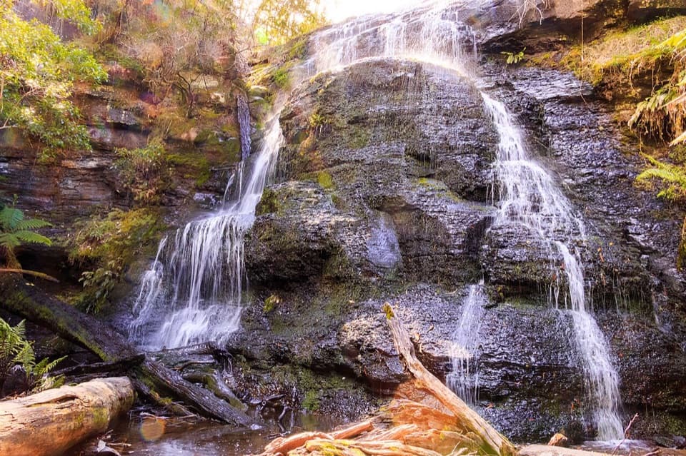 ChallengingThe Canyon Circuit8.5 km · 3 hr · 2.4 km awayThree waterfalls and a mossy rock cleft, linked in one rugged loop.
 Sight · 0.4 km awaySheoak FallsA short walk leads to a waterfall whose flow follows the rain.
 Campground · 1.5 km awayCumberland River Holiday ParkRiverside camping and cabins under a wooded cliff escarpment.
 Sight · 2 km awayTeddy's LookoutOne lookout catches the coastal road, river mouth and sea.
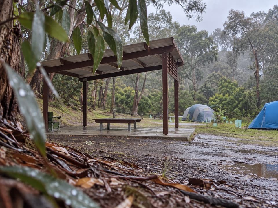 Campground · 2.3 km awayAllenvale CampgroundTwenty tent sites beside the St George River; carry your gear in.
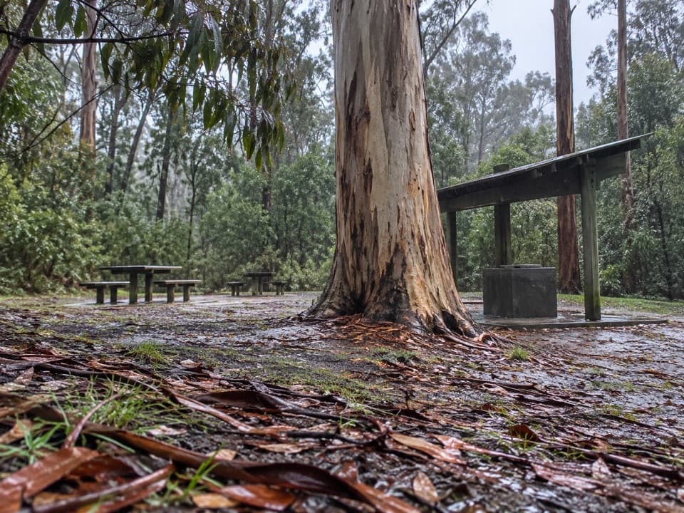 Picnic area · 2.4 km awaySheoak Picnic AreaA shaded eucalypt picnic stop and base for waterfall walks.
 Sight · 3 km awayLorne PierWalk over the bay to see Lorne from the water.
 Sight · 3 km awayWon Wondah FallsA small, often screened cascade on the walk to Henderson Falls.
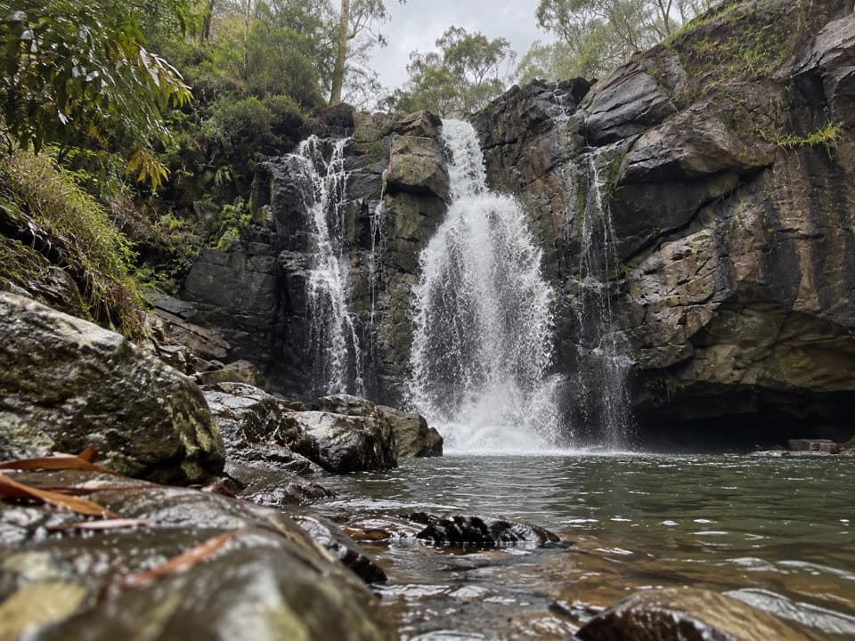 Sight · 3.3 km awayPhantom FallsA forest walk to a waterfall that runs strongest after rain.
Parkwolf’s Great Ocean Road ranking

The audio tour guide for the drive, plus offline maps, trails, and wildlife heatmaps for when the signal drops.





