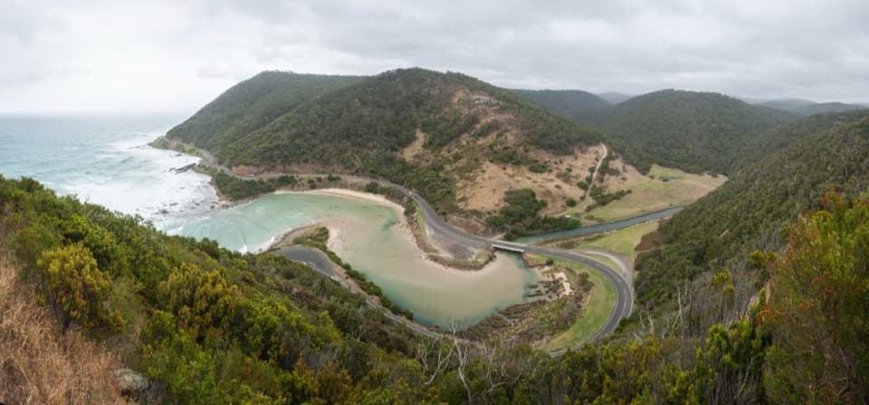
Lorne Pier in Great Ocean Road

Sight · Great Ocean Road

Lorne Pier

Walk over the bay to see Lorne from the water.

Photo: Wikimedia Commons
Type
Sight
Nearest trail
Right here
Audio stories
7 nearby
  • Parking
  • Restrooms
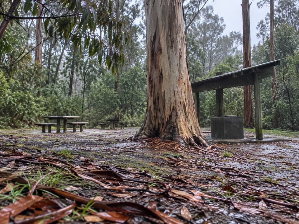
  • Picnic tables

Hear the audio tour

Lorne Pier and Point Grey

Overview

About Lorne Pier

Why stop

  • The historic pier still draws local anglers.

Heads up

  • The exposed outer reach can be very windy.

Map

Where it is

Loading the Great Ocean Road map
Full map
SightLorne Pier-38.54795, 143.98661
Keep this map with you offline in the Parkwolf app

Plan your stop

Before you go

7 active Great Ocean Road alerts

  • ClosureLorne-area walking trails closed after flood and storm damageSeveral walking trails near Lorne remain closed; do not enter closed tracks. - Phantom Falls Walk is temporarily closed because flood and storm damage affected the trail and structures.Official details
  • ClosureWye Road closed after storm and flood damageWye Road is closed until further notice for road maintenance and repairs following storm and flood damage; do not use the road. Check current Great Otway National Park conditions before travelling.Official details

See all 7 alerts
A park ranger sits on a dash-mounted phone, talking, as Parkwolf’s Tour Guide plays “Army Cutworm Moths: A Grizzly Bear Buffet” on Grand Loop Road below Dunraven Pass in Yellowstone
Parkwolf Tour GuideThe highest, rockiest slopes around here are a summer buffet for grizzly bears.

Great Ocean Road Tour Guide

Your drive to Lorne Pier, narrated.

Parkwolf is a GPS audio tour guide for Great Ocean Road. As you drive, it chimes in with what’s ahead: hidden gems, upcoming stops, history, geology, and wildlife, right through your car’s speakers.

See the Great Ocean Road audio tour

Recorded for this place

Lorne Pier and Point Grey
0:00 / 0:32
“You're nearing Lorne Pier at Point Grey, where a short walk takes you out over the water for a different view of town. I'd allow twenty minutes to walk out, look back across Louttit Bay, and watch the anglers.”

Plays as you drive up to Lorne Pier in the Parkwolf Great Ocean Road Tour Guide.

More stories near here in the app

  • Teddy's Lookout
  • St George River Loop
  • Lorne Foreshore and Swing Bridge
  • Allenvale Mill and Phantom Falls
  • 181 audio storiesacross Great Ocean Road’s roads, triggered by GPS as you drive
  • Wildlife heatmapsfor Koala, Kangaroo, Little Penguin, and 13 more
  • Works offlinemaps, 109 trails, 99 places, and audio download before you lose signal
  • CarPlay readysimple controls built for the drive
★★★★★
“Fantastic app with many points of information… It’s great to just turn on while you’re driving and it gives you an audio tour of the national Park. We love it!!!!”
JMJamesApp Store review
Download Parkwolf on the App StoreGet Parkwolf on Google Play

4.7 from 8,600+ ratings

Guide

More about Lorne Pier

A walk onto Point GreyLorne Pier is a fishing and walking pier at Point Grey, on Lorne’s southern foreshore where…

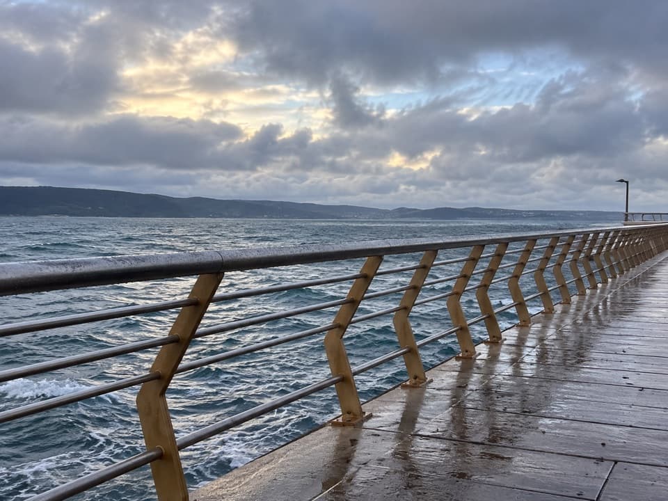
Lorne Pier is a fishing and walking pier at Point Grey, on Lorne’s southern foreshore where sheltered Louttit Bay opens to Bass Strait. Walk out for the open-water view, then turn back toward town; the long stretch above the water is exposed, so wind can make it less comfortable to linger. A foreshore track links the precinct with central Lorne.

A pier built for shippingThe first pier at Point Grey was built in 1879, when sea transport brought visitors and…

The first pier at Point Grey was built in 1879, when sea transport brought visitors and supplies to Lorne and carried timber from inland sawmills toward Geelong and Melbourne. Horse-drawn trolleys hauled the timber to ships. The current pier dates to 2007, replacing the earlier working structure.

Before the pierBefore European settlement, Gadubanud people gathered food along Point Grey’s coast.

Before European settlement, Gadubanud people gathered food along Point Grey’s coast. Shell middens record a diet that included abalone, turban shells, mussels, limpets and fish.

The swim that starts hereThe Lorne Pier to Pub begins at the pier and has run since 1981.

The Lorne Pier to Pub begins at the pier and has run since 1981. The open-water race covers about 1.2 kilometres; in 1988, 3,071 swimmers made it the largest open-water race recorded in Guinness.

Look back from the endAt the outer platform, turn back along the pier to catch its rails leading toward Lorne, then…

At the outer platform, turn back along the pier to catch its rails leading toward Lorne, then face seaward for Bass Strait. People fish along the pier, and stingrays sometimes pass below; seeing one is a bonus, not a sure thing.

Wildlife

Wildlife in Great Ocean Road

All Great Ocean Road wildlife maps

Sighting maps show where each species has been reported across Great Ocean Road. Wildlife moves, so no sighting is guaranteed.

Keep exploring

Near Lorne Pier

See it all on the map

Trails nearby

More stops nearby

Parkwolf’s Great Ocean Road ranking

Top sights in Great Ocean Road

All 99 places
  1. 1The Twelve ApostlesSight
  2. 2Loch Ard GorgeSight
  3. 3Cape Otway LightstationSight
  4. 4Bells BeachBeach
  5. 5Gibson StepsSight
  6. 6London BridgeSight

Take Parkwolf to Great Ocean Road.

The audio tour guide for the drive, plus offline maps, trails, and wildlife heatmaps for when the signal drops.

4.7 from 8,600+ ratings

Download Parkwolf on the App StoreGet Parkwolf on Google Play