Dunes Picnic Area in Great Sand Dunes National Park

Picnic area · Great Sand Dunes National Park

Dunes Picnic Area

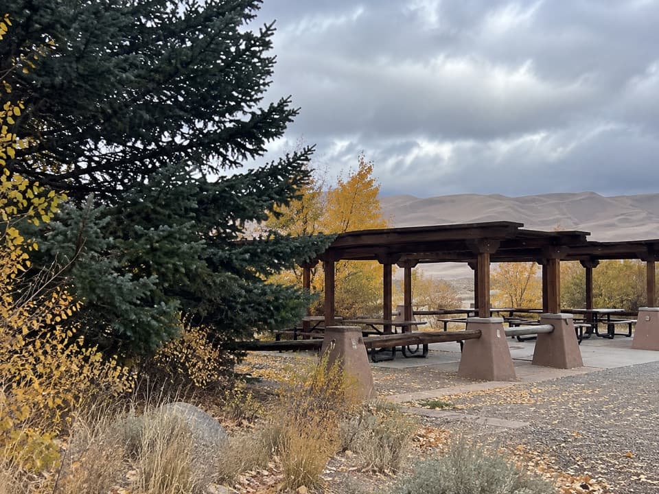
Shaded tables make this a handy break beside the seasonal creek.

Type
Picnic area
Nearest trail
0.5 mi
Audio stories
7 nearby
  • Picnic tables
  • Parking
  • Restrooms

Hear the audio tour

Dunes Parking and Medano Creek

Overview

About Dunes Picnic Area

Why stop

  • Every site has a picnic table and charcoal grill.

Heads up

  • Medano Creek flow changes with the snowpack.

Map

Where it is

Loading the Great Sand Dunes map
Full map
Picnic areaDunes Picnic Area37.73879, -105.51637
Keep this map with you offline in the Parkwolf app

Plan your stop

Before you go

2 active Great Sand Dunes alerts

  • CautionStage 1 fire restrictionsStage 1 fire restrictions are active throughout Great Sand Dunes; use fires only in designated steel fire rings or picnic-site barbecues.Official details
  • CautionSwift, deep water on Medano Pass Primitive RoadMedano Pass Primitive Road is open, but heavy rain has created swift water up to 3 feet deep, especially at creek crossings 3, 4, and 5.Official details

Great Sand Dunes alerts
A park ranger sits on a dash-mounted phone, talking, as Parkwolf’s Tour Guide plays “Army Cutworm Moths: A Grizzly Bear Buffet” on Grand Loop Road below Dunraven Pass in Yellowstone
Parkwolf Tour GuideThe highest, rockiest slopes around here are a summer buffet for grizzly bears.

Great Sand Dunes Tour Guide

Your drive to Dunes Picnic Area, narrated.

Parkwolf is a GPS audio tour guide for Great Sand Dunes National Park. As you drive, it chimes in with what’s ahead: hidden gems, upcoming stops, history, geology, and wildlife, right through your car’s speakers.

Recorded for this place

Dunes Parking and Medano Creek
0:00 / 0:35
“You're coming up on Dunes Parking, the main access to Medano Creek and the dunefield. You don't have to climb a summit to enjoy this stop.”

Plays as you drive up to Dunes Picnic Area in the Parkwolf Great Sand Dunes Tour Guide.

More stories near here in the app

  • Montville Nature Trail
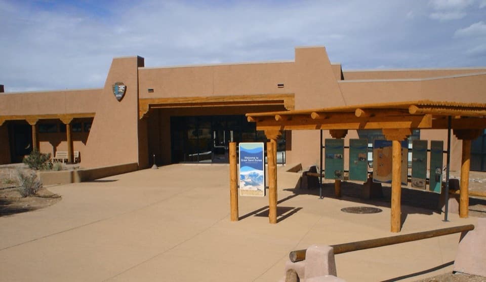
  • Great Sand Dunes Visitor Center
  • Piñon Flats and Dunes Overlook
  • Point of No Return and Sand Pit Trail
  • 31 audio storiesacross Great Sand Dunes’s roads, triggered by GPS as you drive
  • Wildlife heatmapsfor Elk, Pronghorn, Wild Turkey, and 13 more
  • Works offlinemaps, 17 trails, 29 places, and audio download before you lose signal
  • CarPlay readysimple controls built for the drive
★★★★★
“Fantastic app with many points of information… It’s great to just turn on while you’re driving and it gives you an audio tour of the national Park. We love it!!!!”
JMJamesApp Store review
Download Parkwolf on the App StoreGet Parkwolf on Google Play

4.7 from 8,600+ ratings

Guide

More about Dunes Picnic Area

Take a break beside the dunesThe Dunes Picnic Area is the park’s developed day-use picnic area, stretching along the dunes…

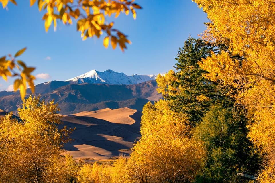
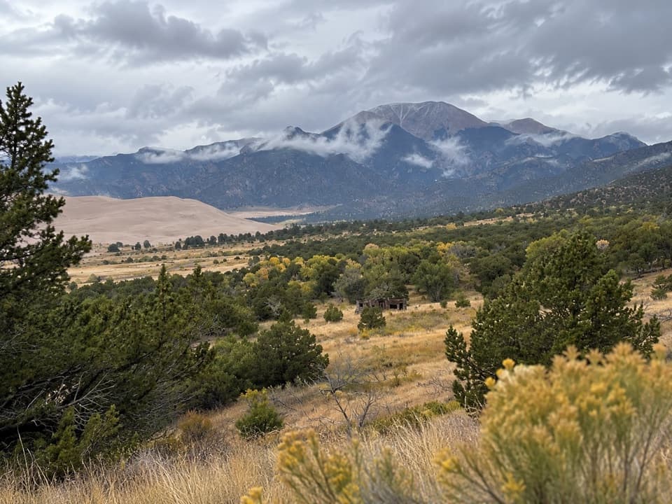
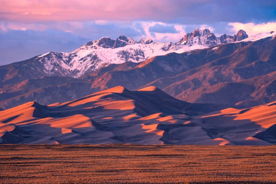
The Dunes Picnic Area is the park’s developed day-use picnic area, stretching along the dunes and seasonal Medano Creek beside Dunes Parking, about a mile north of the visitor center. It’s a handy place to eat before or after time in the sand; picnic sites are for day use only.

Find shade and a tableMost sites have some shade from cottonwoods or conifers, and each has a picnic table and…

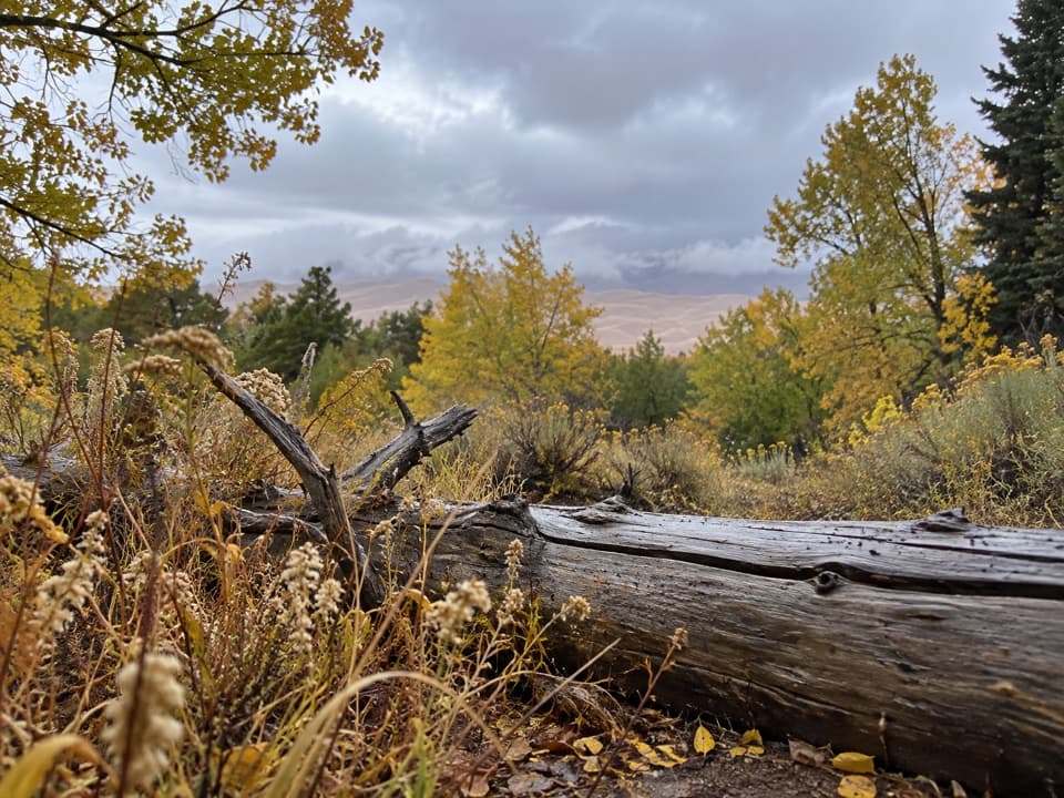
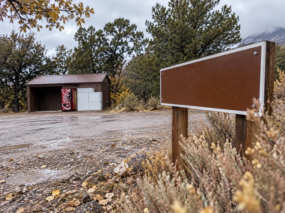
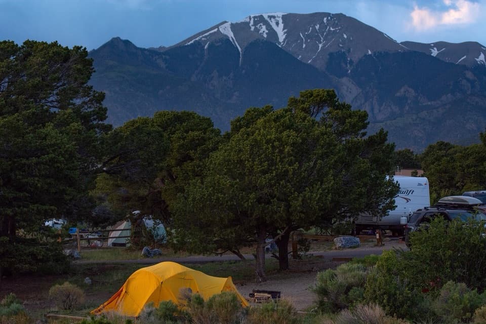
Most sites have some shade from cottonwoods or conifers, and each has a picnic table and charcoal grill. Wood fires aren’t allowed. The North Ramada group site is first-come; the South Ramada requires a reservation. One picnic site has a hardened trail to a nearby accessible restroom. A restroom in the middle of the area is available in summer, and restrooms by Dunes Parking are open year-round.

Medano Creek changes with the snowpackIn an average year, the creek’s strongest flow is usually in late May or early June, but…

In an average year, the creek’s strongest flow is usually in late May or early June, but snowpack changes how deep it runs and how long it lasts. Weekends around the surge-flow peak can bring a crowded shoreline and full parking at the main access. Check creek conditions before making flowing water the reason for your stop.

Wildlife

Wildlife in Great Sand Dunes

All Great Sand Dunes wildlife maps

Sighting maps show where each species has been reported across Great Sand Dunes. Wildlife moves, so no sighting is guaranteed.

Keep exploring

Near Dunes Picnic Area

See it all on the map

Trails nearby

More stops nearby

Parkwolf’s Great Sand Dunes ranking

Top sights in Great Sand Dunes

All 29 places
  1. 1High Dune on First RidgeSight
  2. 2Medano CreekBeach
  3. 3Star DuneSight
  4. 4Zapata FallsSight
  5. 5Hidden DuneSight
  6. 6Dunes OverlookSight

Take Parkwolf to Great Sand Dunes.

The audio tour guide for the drive, plus offline maps, trails, and wildlife heatmaps for when the signal drops.

4.7 from 8,600+ ratings

Download Parkwolf on the App StoreGet Parkwolf on Google Play