Place · 0.4 mi away
Challenging

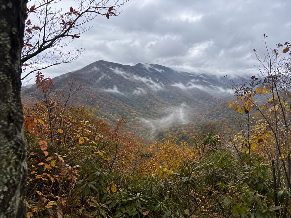
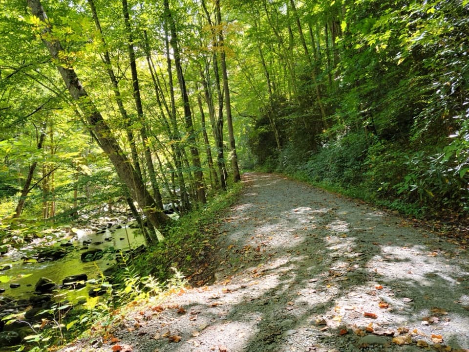
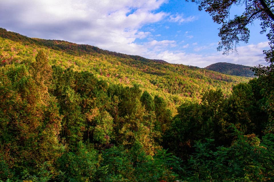
A true Smokies ridge walk, Sugarland Mountain Trail is an 11.9-mile, point-to-point traverse that trades big panoramas for solitude, varied forests, and a satisfying end-on-the-AT finish near Mount Collins. It’s strenuous, with a stout opening climb and meaningful ups and downs along the ridge, and typically takes around six hours for strong hikers. Expect mostly forested hiking with intermittent windows toward Mount Le Conte, Brushy Mountain, Gatlinburg, and the surrounding ridges.
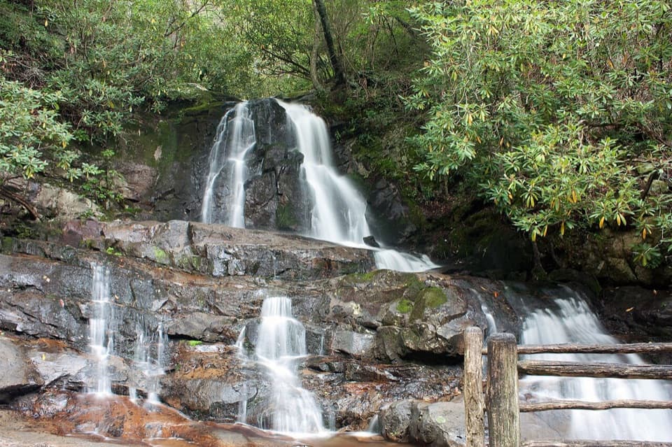
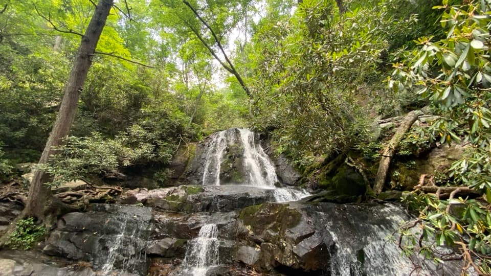
Starting at Fighting Creek Gap (across from the ever-busy Laurel Falls trailhead), you’ll climb steeply—over 550 feet in the first 0.7 mile—with some steep drop-offs. In winter, a gap in the canopy offers a quick look toward Gatlinburg before the grade eases. The tread then mellows and trends downhill with filtered views of Le Conte and Brushy Mountain as you roll into Huskey Gap at about 3 miles—once home to a late-1800s log schoolhouse. Note: Backcountry Campsite 21 was relocated off this trail to the Huskey Gap/Little River junction.
From there, the ridge alternates between deciduous forest and heath balds before climbing into cool, rocky spruce–fir near the crest—classic high Smokies ambience. Intermittent breaks in the trees give partial glimpses toward Gatlinburg, Sevier County, Blanket Mountain, and the ridges above Elkmont. As you near the top end, the path skirts just below Sugarland Mountain’s 5,494-foot high point and passes the Mount Collins backcountry shelter before meeting the Appalachian Trail near Mount Collins.
A parking tag is required when parking in the park; confirm current details with the park.
You don’t have to bite off the whole ridge. From Huskey Gap, descend to Newfound Gap Road for a roughly 5.2-mile one-way outing, or drop to Little River Trail toward Elkmont for about 8 miles one way. The full 11.9-mile traverse is best with a shuttle.
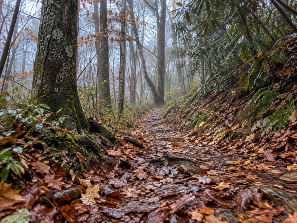
This trail sees far fewer feet than its neighbors, which is part of the charm—but it can mean stretches of overgrowth (briars) and occasional blowdowns. In cooler months, ice can form on rock outcrops. The opening climb from Fighting Creek Gap is steep and narrow in places—mind your footing.
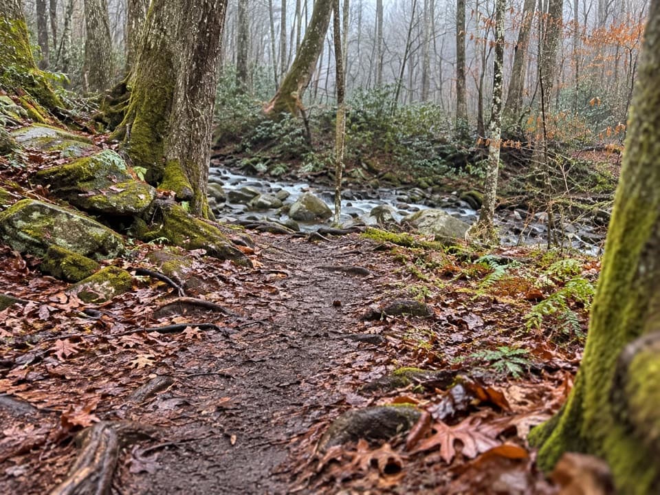
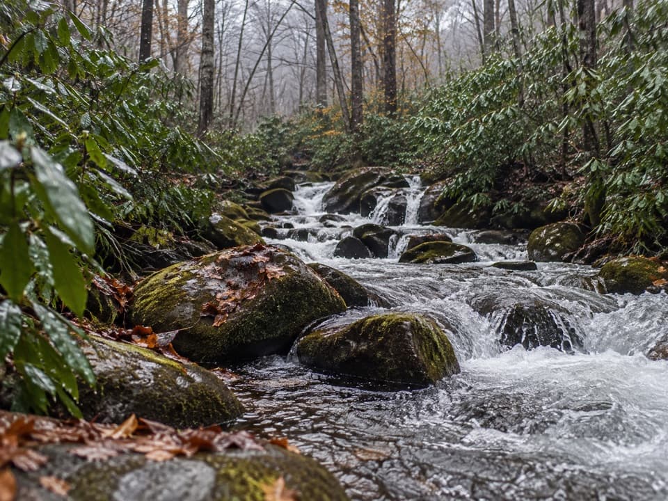
Watch the forest shift as you gain height: hardwoods low, heath along the backbone, then a fragrant Southern Appalachian spruce–fir cap near the crest. In early May, keep an eye out for spring beauty, trout-lily, and wake robin along the upper miles.
Year-round works. Winter and early spring deliver the best views through leaf-off and cooler temps, but expect possible ice near rock outcrops. Summer can be humid and brushy; long sleeves help with briars. Whatever the season, start early or go weekdays to beat the Laurel Falls parking rush. If you’re aiming for the upper section, remember the Clingmans Dome Road winter closure.
No dogs on this trail. If you plan to stay at Mount Collins Shelter or elsewhere in the backcountry, reservations/permits are required.
Lower access at Fighting Creek Gap on Little River Road (shared with Laurel Falls; fills early). Upper access from Clingmans Dome Road via a short connector to the AT, then to the Sugarland Mountain junction. A park parking tag is required.
Steep initial climb with narrow drop-offs; ice can form on rock outcrops in cooler months; expect overgrowth and blowdowns. Clingmans Dome Road is closed Dec 1–Apr 1. No dogs. One-way traverse typically requires a shuttle.