Parking
Use the Little River Trailhead in Elkmont Historic District. A valid park parking tag is required when parking longer than 15 minutes. The nearest seasonal restrooms are at Daisy Town or Elkmont Campground.
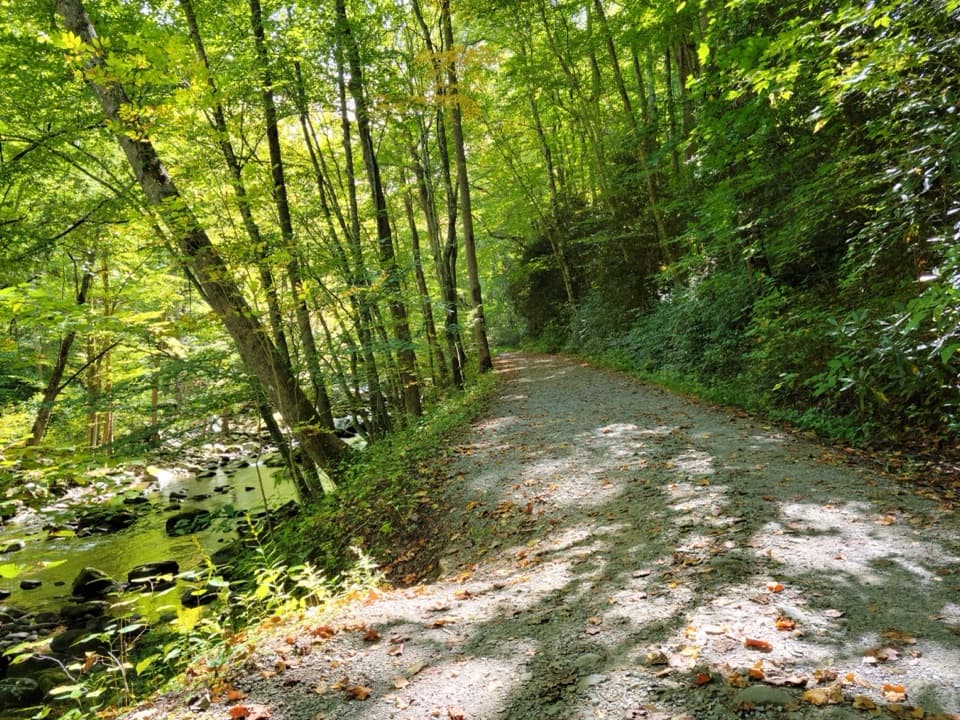
Great Smoky Mountains National Park, TN · NC
Follow the old rail grade beside the river to Campsite 30.
Overview
Map & elevation
Plan your hike

The highest, rockiest slopes around here are a summer buffet for grizzly bears.
Great Smoky Mountains Tour Guide
Parkwolf is a GPS audio tour guide for Great Smoky Mountains National Park. As you drive, it chimes in with what’s ahead: hidden gems, upcoming stops, history, geology, and wildlife, right through your car’s speakers.
See the Great Smoky Mountains audio tourRecorded for this trailhead
Elkmont Historic District and Daisy Town“You're nearing Elkmont Historic District, where Daisy Town's restored summer cabins make an easy history stop. Look inside the restored cabins; the interiors give this former resort community its character.”
Plays as you drive up to this trailhead in the Parkwolf Great Smoky Mountains Tour Guide.
More stories near here in the app
“Fantastic app with many points of information… It’s great to just turn on while you’re driving and it gives you an audio tour of the national Park. We love it!!!!”


Trail guide
Little River Trail is a 12.4-mile out-and-back from the Little River Trailhead in Elkmont Historic District, following the old railroad grade beside Little River to the dead end at backcountry campsite 30. You walk the same corridor both ways, about 6.2 miles each way; allow 6 to 8 hours with stops. Choose it for a full day of river scenery and Elkmont history, not a quick waterfall outing. The lower section is gentle, but the length adds up, and the final miles are rougher.
Shorter turnarounds make sense here. A small waterfall and footbridge sit about 2.1 to 2.2 miles in, making roughly a 4.2-mile round trip. Another common walk goes to the Cucumber Gap junction, about 4.9 miles round trip. That is still a turnaround on Little River Trail. The separately named Little River/Cucumber Gap/Jakes Creek route is a 5.4-mile loop, so don't use its mileage for this out-and-back.
For the first 2.7 miles, the trail is broad and relatively flat, with crushed stone, roots, and scattered rocks. Around mile 2.5 it narrows from the old roadbed to a natural path. The lower stretch to Huskey Gap is the part described for GRIT all-terrain chair access; the trail is not ADA accessible, and that access does not extend to the full route.
The river stays close for much of the walk, with rocky water views and small crossings adding interest to the old road grade. The modest cascade around two miles in is a pleasant stop, but it is not a dramatic waterfall hike; visitors often value the riverside walk as much as the falls. If that is your goal, turn around there and save the long continuation for another day.
After the Rough Creek junction at about mile 4.5, the tread gets rockier. Three water crossings come in the final stretch, so the far end takes more care than the broad start. The trail passes several junctions and backcountry campsites before dead-ending at campsite 30. There is no loop at the end: turn around and retrace the same 6.2-mile corridor.
This route follows an old logging railroad grade. Near the start, stone chimneys and foundations remain from the historic Elkmont community. The Little River Lumber Company stopped operating in 1938, and its tracks were removed by the beginning of 1940; the smooth lower path is a remnant of that working landscape, not a modern purpose-built boardwalk.
Spring beauties and trailing arbutus are reported in mid-March and April; mountain mint and jewelweed appear later in summer. Park at the Little River Trailhead in Elkmont Historic District. A parking tag is required when you leave a vehicle for more than 15 minutes. The nearest restrooms are at Daisy Town or Elkmont Campground and are seasonal. Dogs are prohibited on this trail.
Wildlife
 1,569 sightingsBlack BearMost seen around 7 PMSighting map
 900 sightingsElkMost seen around 7 AMSighting map
 13 sightingsBald EagleMost seen around 9 AMSighting map
 142 sightingsTimber RattlesnakeMost seen around 6 PMSighting map
 26 sightingsBobcatMost seen around 8 PMSighting map
 42 sightingsRiver OtterMost seen around 7 AMSighting map
Sighting maps show where each species has been reported across Great Smoky Mountains. Wildlife moves, so no sighting is guaranteed.
Keep exploring
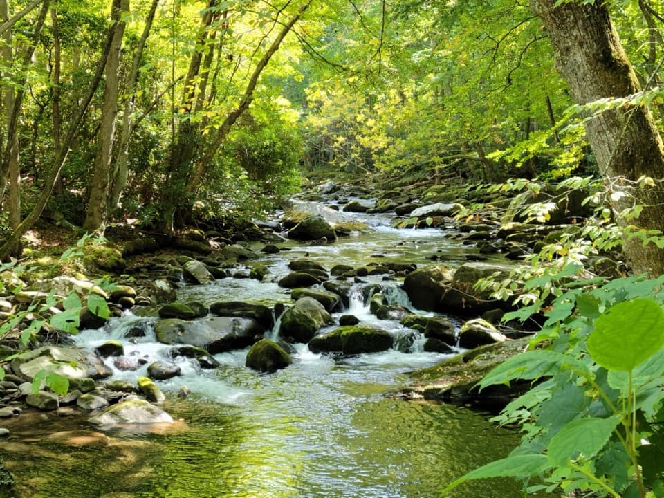 ModerateLittle River, Cucumber Gap, Jakes Creek Loop5.5 mi · 3 hr · At the trailheadRiver views, wildflowers, and Elkmont history on a varied loop.
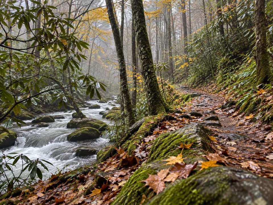 ChallengingGoshen Prong Trail11.2 mi · 9 hr · At the trailheadOld logging grades lead from creekside Elkmont to a rocky AT finish.
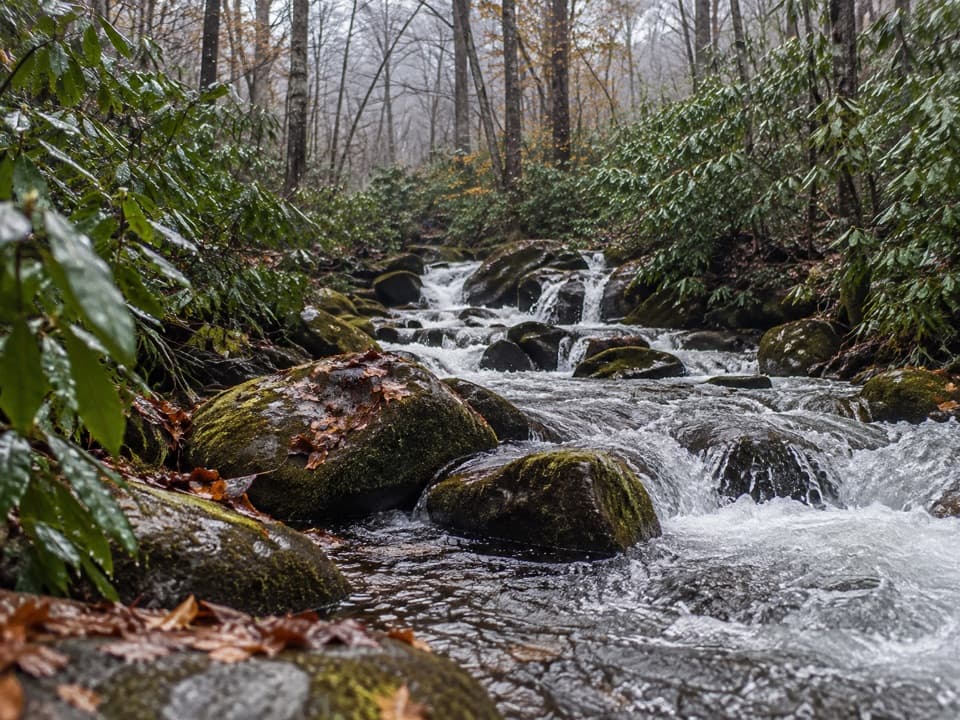 ChallengingJakes Creek Trail7.2 mi · 6 hr · 0.1 mi awayA long climb from Elkmont’s old cottages to Jakes Gap.
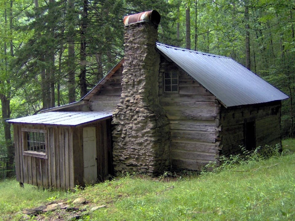 ModerateAvent Cabin Trail2.6 mi · 1.8 hr · 0.1 mi awayA 2.6-mile out-and-back to Mayna Treanor Avent’s cabin studio.
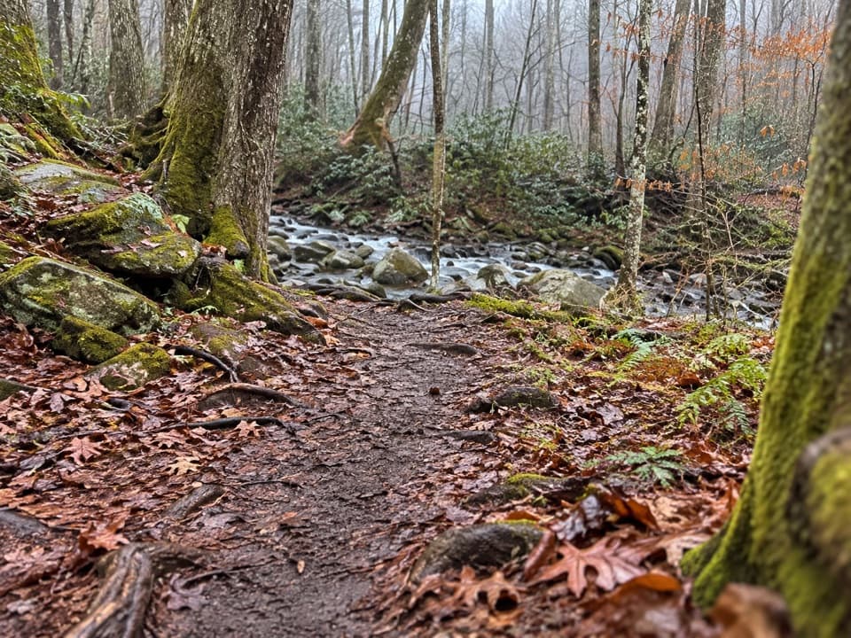 EasyElkmont Nature Trail0.7 mi · 30 min · 0.3 mi awayA short, easy loop with two bridges over Mids Branch.
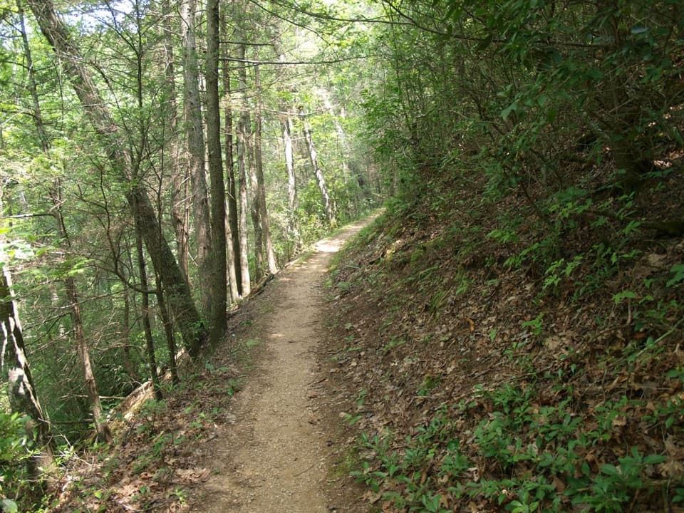 ModerateMeigs Mountain Trail6 mi · 3.5 hr · 0.7 mi awayA quiet backcountry traverse with a waterfall on the Elkmont approach.
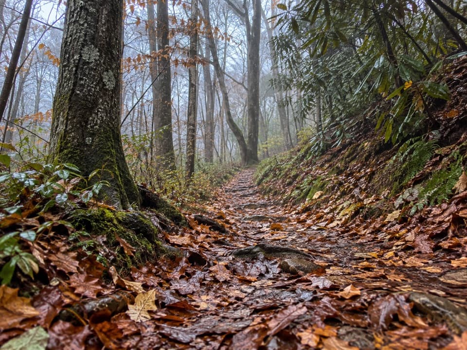 EasyLaurel Falls Quiet Walkway0.4 mi · 18 min · 1.2 mi awayA short dirt loop follows Laurel Branch through quiet forest
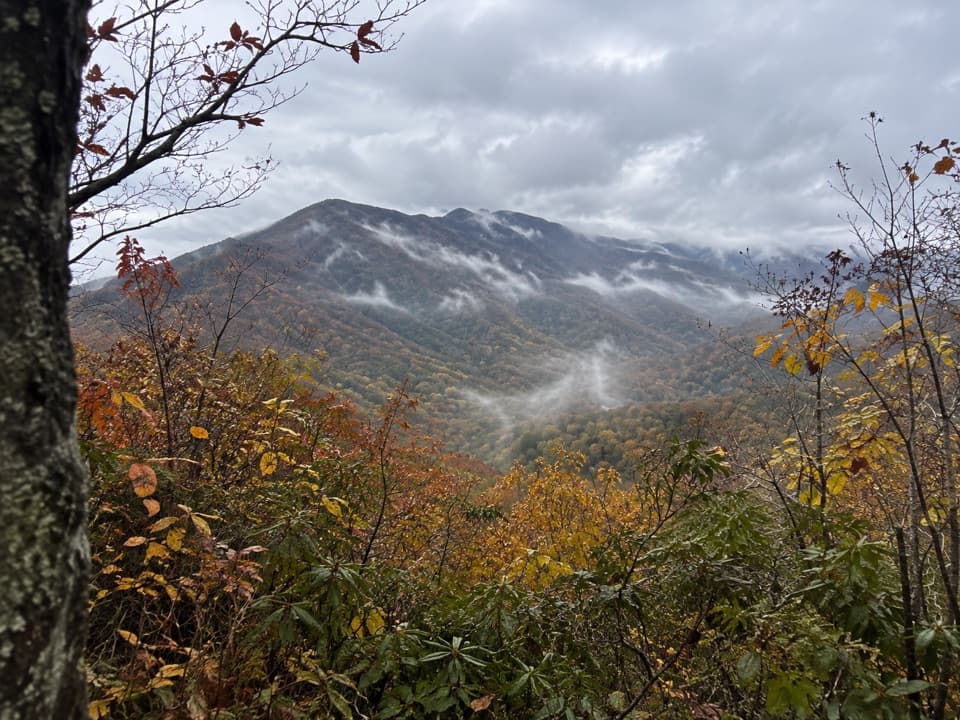 ChallengingSugarland Mountain Trail11.9 mi · 8 hr · 1.3 mi awayA long ridge walk with a winter view toward Gatlinburg.
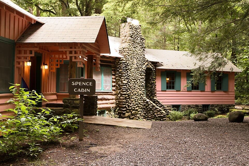 Sight · 0.1 mi awaySpence CabinA restored 1928 cabin from Elkmont’s resort summers.
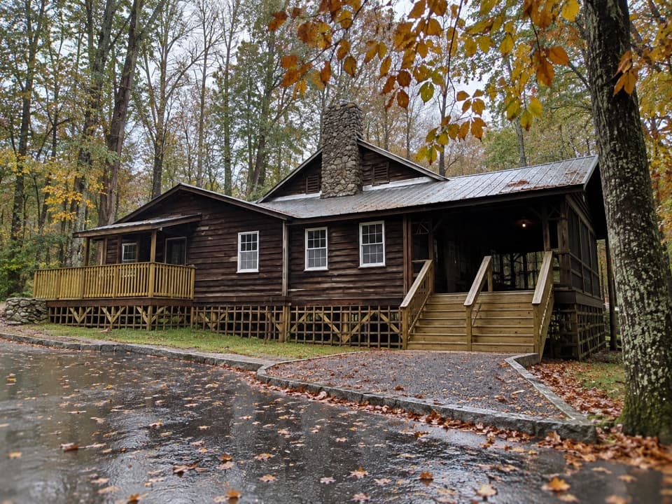 Sight · 0.1 mi awayDaisy TownA preserved summer settlement, with cabins you can explore inside.
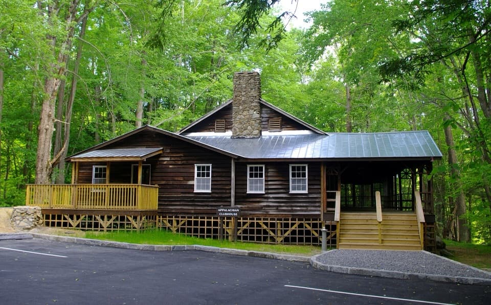 Sight · 0.1 mi awayAppalachian ClubhouseA restored clubhouse from Elkmont’s cabin-era summer community.
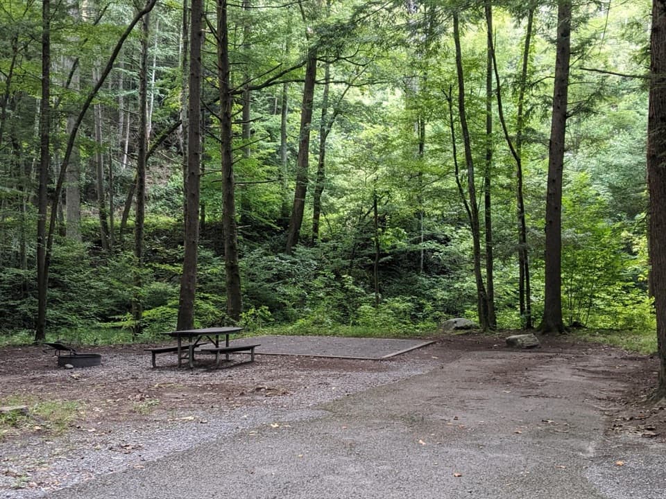 Campground · 0.4 mi awayElkmont CampgroundWooded camping, creekside sites, and a road on an old rail bedSight · 1.1 mi awayAvent CabinFind a tucked-away cabin that once served as an artist’s studio.
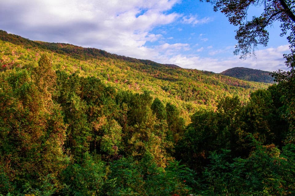 Scenic pullout · 1.4 mi awayMaloney PointA quick Little River Road stop for layered ridges and spring trillium.
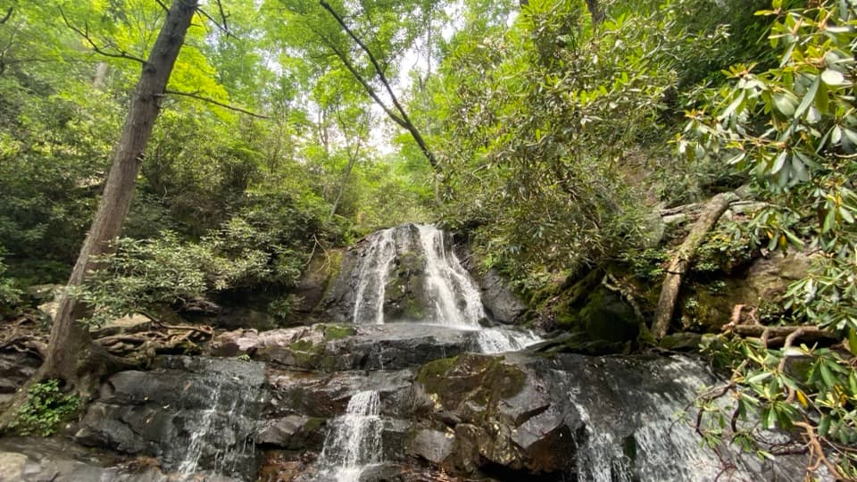 Sight · 1.8 mi awayLaurel FallsA two-tier waterfall rewards a popular 2.6-mile forest walk.
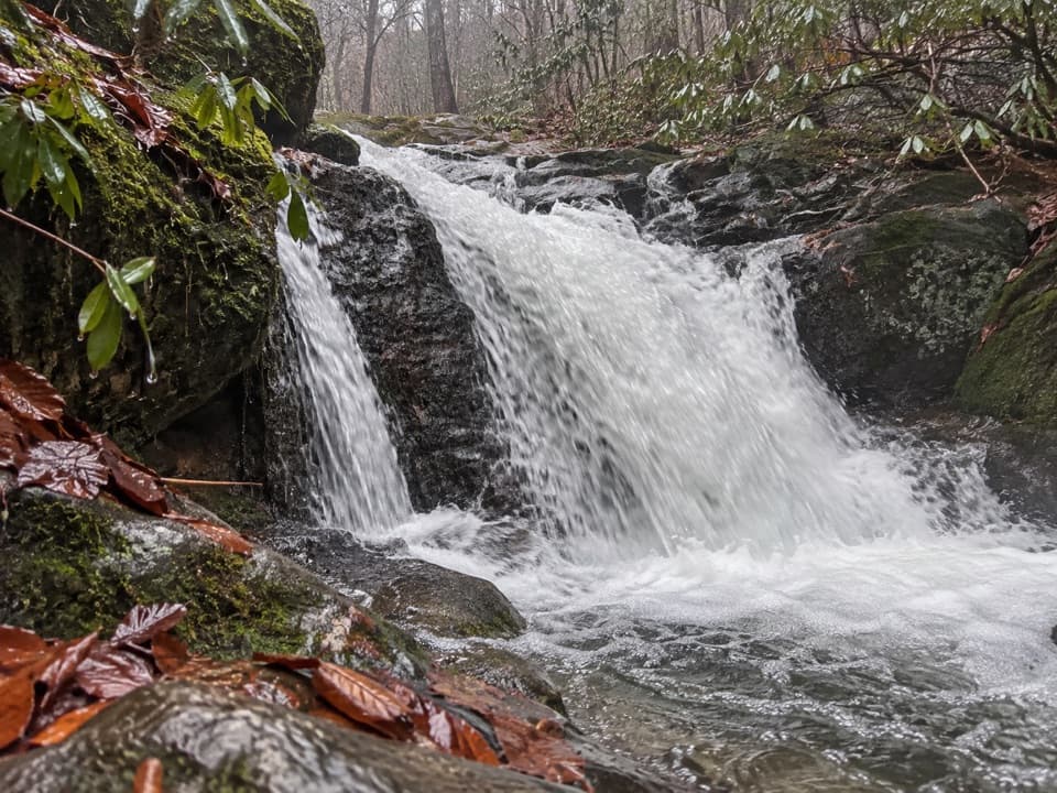 Sight · 1.9 mi awayHuskey Branch FallsA riverside walk ends at a modest cascade crossed by a footbridge.
Parkwolf’s Great Smoky Mountains ranking

The audio tour guide for the drive, plus offline maps, trails, and wildlife heatmaps for when the signal drops.





