Little River, Cucumber Gap, Jakes Creek Loop in Great Smoky Mountains National Park

Great Smoky Mountains National Park, TN · NC

Little River, Cucumber Gap, Jakes Creek Loop

River views, wildflowers, and Elkmont history on a varied loop.

Photo: National Park Service
Length
5.5mi
Time
3hr
Elev. change
722ft
Difficulty
Moderate
  • Loop
  • No dogs
  • High point 2,969 ft
  • #33 of 197 in Great Smoky Mountains

Hear the audio tour

Elkmont Historic District and Daisy Town

Overview

About Little River, Cucumber Gap, Jakes Creek Loop

Why go

  • River, spring flowers, and historic Elkmont scenery in one varied loop

Heads up

  • Cucumber Gap is rootier and hillier than the easy riverside section

Map & elevation

The route

Loading the Great Smoky Mountains map
Full map
Elevation2,247–2,969 ft
TrailheadLittle River Trailhead, Elkmont Historic District35.65368, -83.58019
Keep this map with you offline in the Parkwolf app

Plan your hike

Before you go

Parking

Start at Little River Trailhead in Elkmont Historic District; the park also identifies Jakes Creek Trailhead as an access point. A short paved road links the two parking areas and closes the loop. A parking tag is required for stays over 15 minutes. The nearest restroom is at Elkmont Campground and is seasonal.

Safety

The Husky Branch crossing on Cucumber Gap may be impassable during high water. During the annual late-May or early-June synchronous-firefly viewing period, pedestrian access on the Elkmont entrance road and Jakes Creek Road is restricted after 4 p.m.; check current park restrictions before planning a late start.

7 active Great Smoky Mountains alerts

  • ClosureHurricane Helene backcountry trail closures and hazardsHurricane Helene damage has closed backcountry trails and left hazardous crossings; avoid closed routes and heed trail-specific restrictions.Official details
  • CautionBear-related trail, road, shelter, and campsite restrictionsBear activity has closed trails, a shelter, and campsites and restricted pedestrian access on Cherokee Orchard Road; follow the vehicle restrictions and avoid closed areas.Official details
See all 7 alerts
A park ranger sits on a dash-mounted phone, talking, as Parkwolf’s Tour Guide plays “Army Cutworm Moths: A Grizzly Bear Buffet” on Grand Loop Road below Dunraven Pass in Yellowstone
Parkwolf Tour GuideThe highest, rockiest slopes around here are a summer buffet for grizzly bears.

Great Smoky Mountains Tour Guide

Your drive to Little River, Cucumber Gap, Jakes Creek Loop, narrated.

Parkwolf is a GPS audio tour guide for Great Smoky Mountains National Park. As you drive, it chimes in with what’s ahead: hidden gems, upcoming stops, history, geology, and wildlife, right through your car’s speakers.

See the Great Smoky Mountains audio tour

Recorded for this trailhead

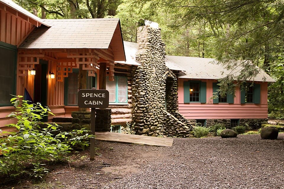
Elkmont Historic District and Daisy Town
0:00 / 0:32
“You're nearing Elkmont Historic District, where Daisy Town's restored summer cabins make an easy history stop. Look inside the restored cabins; the interiors give this former resort community its character.”

Plays as you drive up to this trailhead in the Parkwolf Great Smoky Mountains Tour Guide.

More stories near here in the app

  • Elkmont Campground and Nature Trail
  • The Blue Ghost's Long Glow
  • Laurel Falls Trailhead
  • Maloney Point
  • 188 audio storiesacross Great Smoky Mountains’s roads, triggered by GPS as you drive
  • Wildlife heatmapsfor Black Bear, Elk, Bald Eagle, and 13 more
  • Works offlinemaps, 197 trails, 100 places, and audio download before you lose signal
  • CarPlay readysimple controls built for the drive
★★★★★
“Fantastic app with many points of information… It’s great to just turn on while you’re driving and it gives you an audio tour of the national Park. We love it!!!!”
JMJamesApp Store review
Download Parkwolf on the App StoreGet Parkwolf on Google Play

4.7 from 8,600+ ratings

Trail guide

Hiking Little River, Cucumber Gap, Jakes Creek Loop

What this loop gives youLittle River–Cucumber Gap–Jakes Creek is a 5.5-mile loop through Elkmont Historic District.

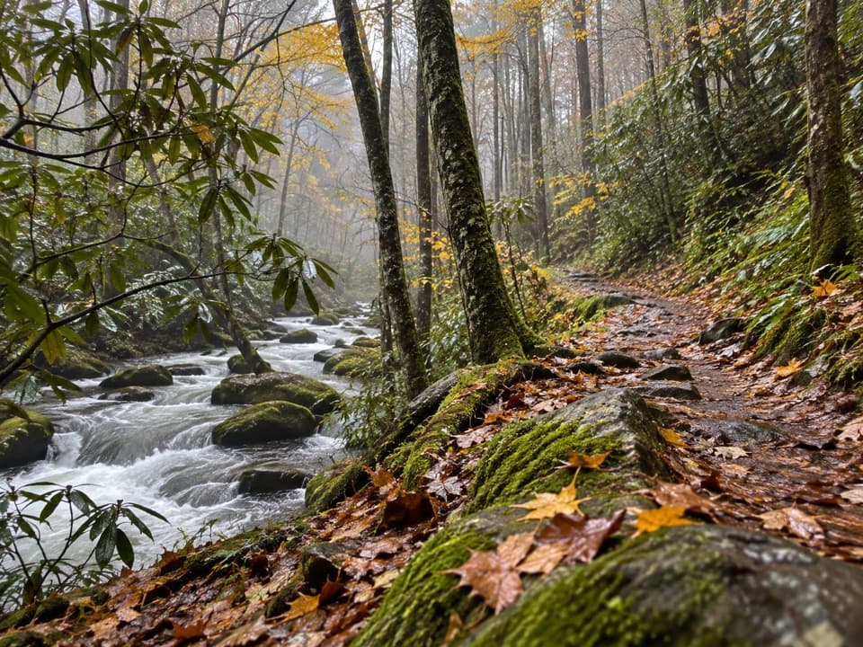
Little River–Cucumber Gap–Jakes Creek is a 5.5-mile loop through Elkmont Historic District. The park lists 5.4 miles for the trail route; the full mapped circuit also includes the short road connection between the Little River and Jakes Creek parking areas. You get a wide river path, a narrower climb through Cucumber Gap, and a forested return past Elkmont’s historic remains. If you want moving water, spring flowers, and local history in one half-day, this is a good pick.

How the route worksFrom Little River Trailhead, follow Little River Trail to Cucumber Gap, then take Jakes Creek…

From Little River Trailhead, follow Little River Trail to Cucumber Gap, then take Jakes Creek toward its parking area and use the short paved link between the lots to close the loop. You can also start at Jakes Creek. Allow about 2½ to 3 hours with stops. The route changes trail names at the junctions, so keep a map handy; the two parking areas are separate.

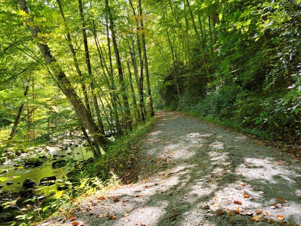
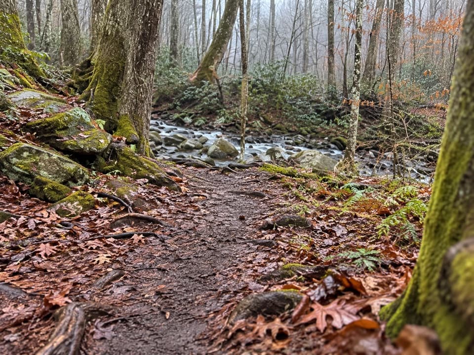
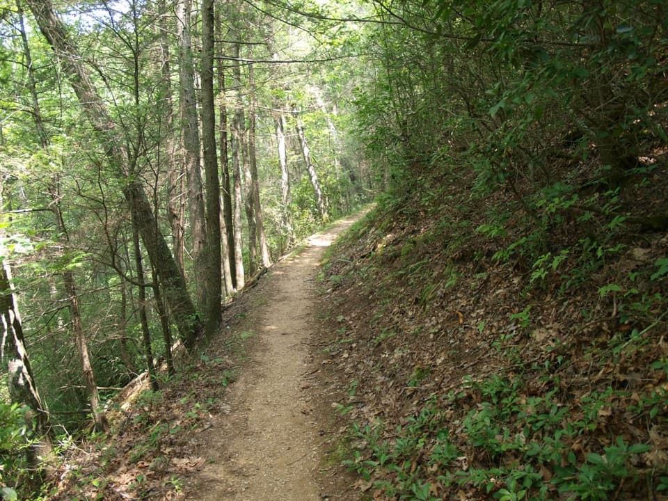
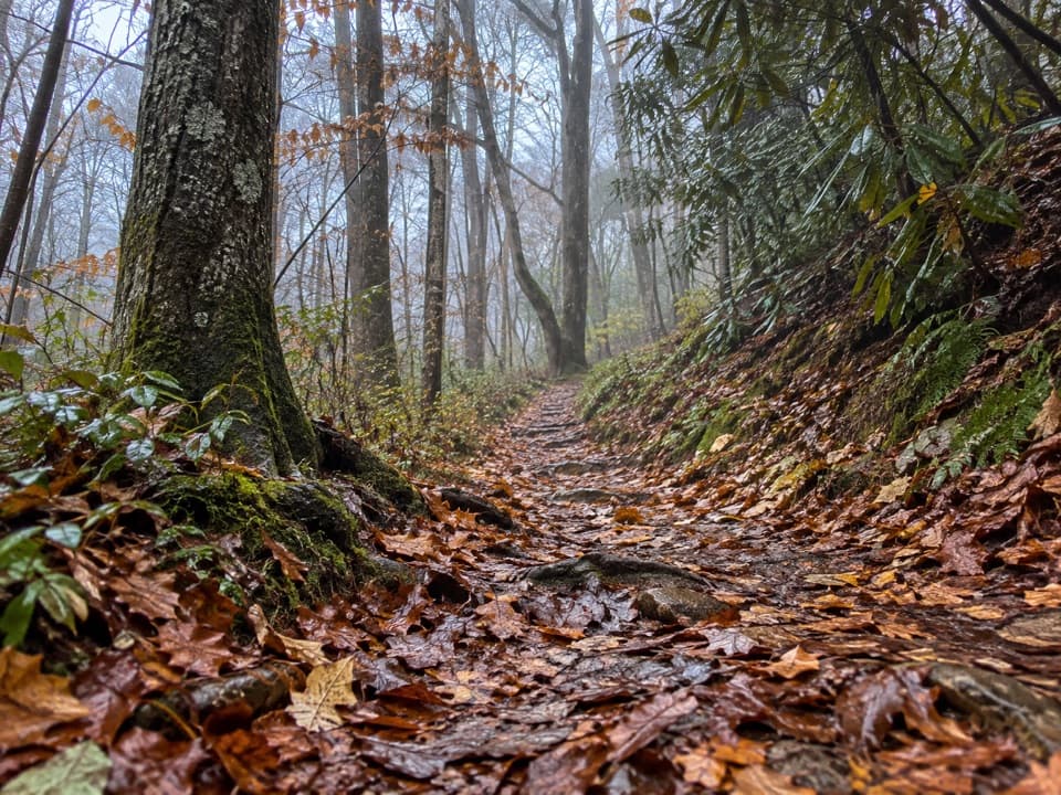
A changing trail underfootLittle River is broad, graveled, and mostly level.

Little River is broad, graveled, and mostly level. Cucumber Gap is narrower, rooty, and rolling, with most of the climbing. Jakes Creek widens again but is rockier and a little steeper. The route is moderate, and the easy river grade can make the middle feel like more of a climb than you expected.

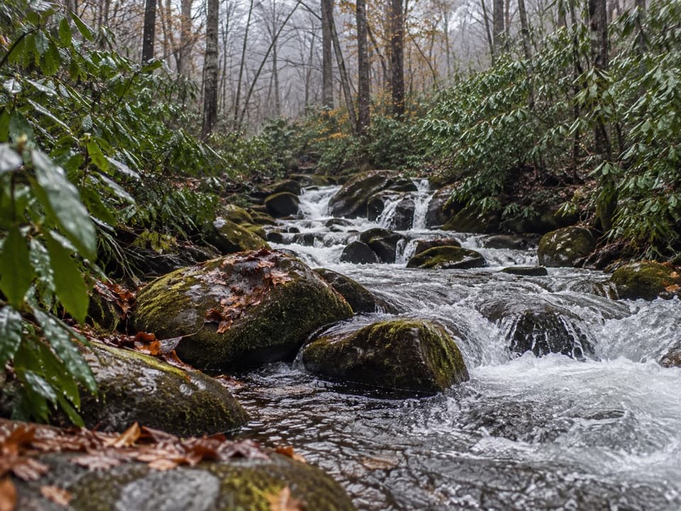
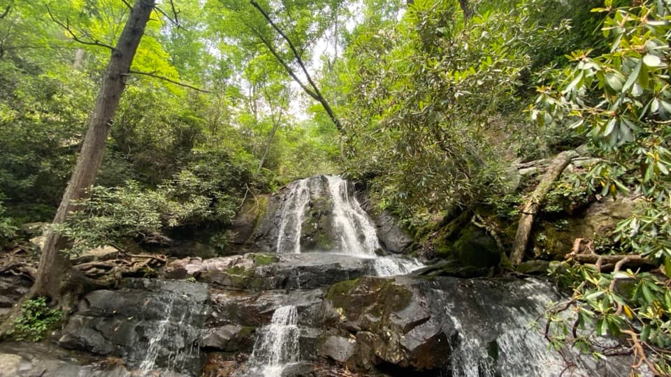
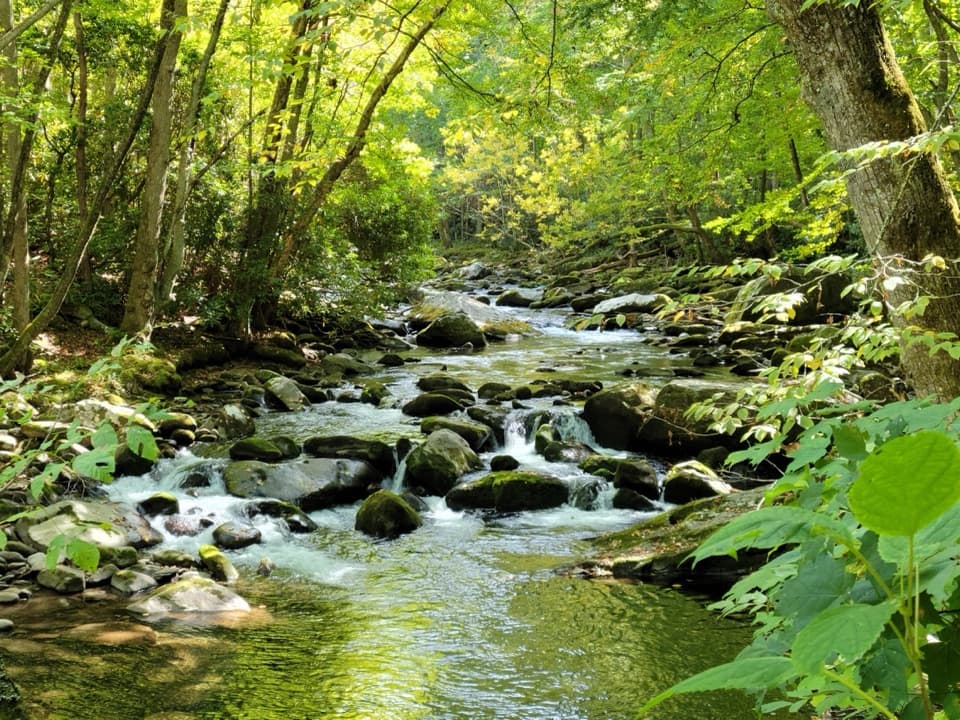
Water and the crossingA small cascade falls beside the Little River path beneath a footbridge.

A small cascade falls beside the Little River path beneath a footbridge. The more important water detail is on Cucumber Gap: the Husky Branch crossing may be impassable at high water. If the stream is up, don’t assume you can complete the loop.

Elkmont’s older routesLittle River Trail follows an old rail grade built for logging, and historic structures remain…

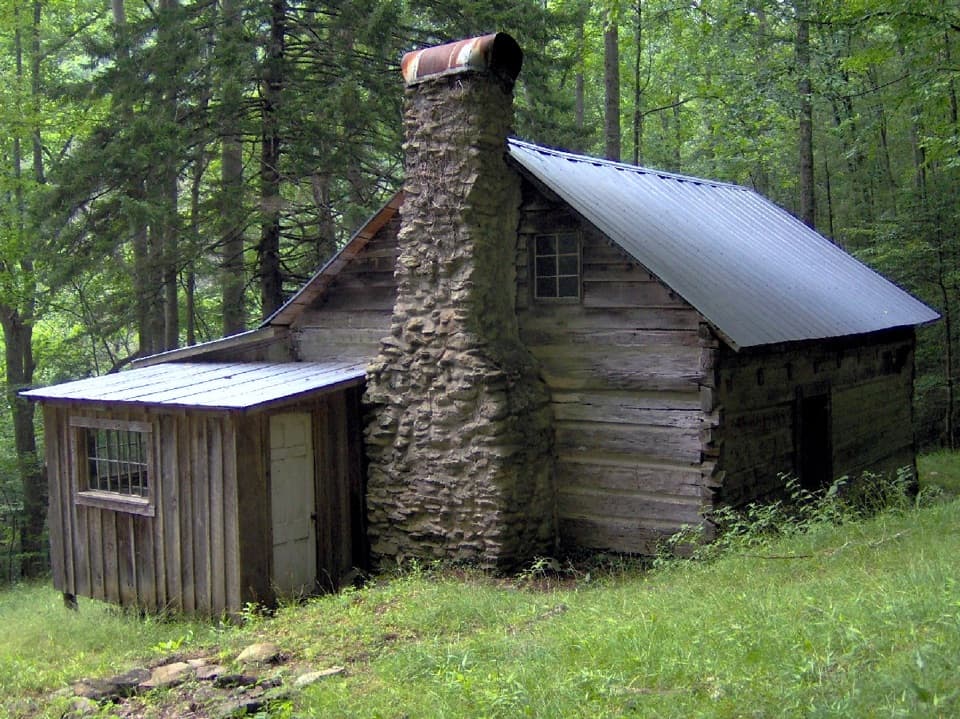
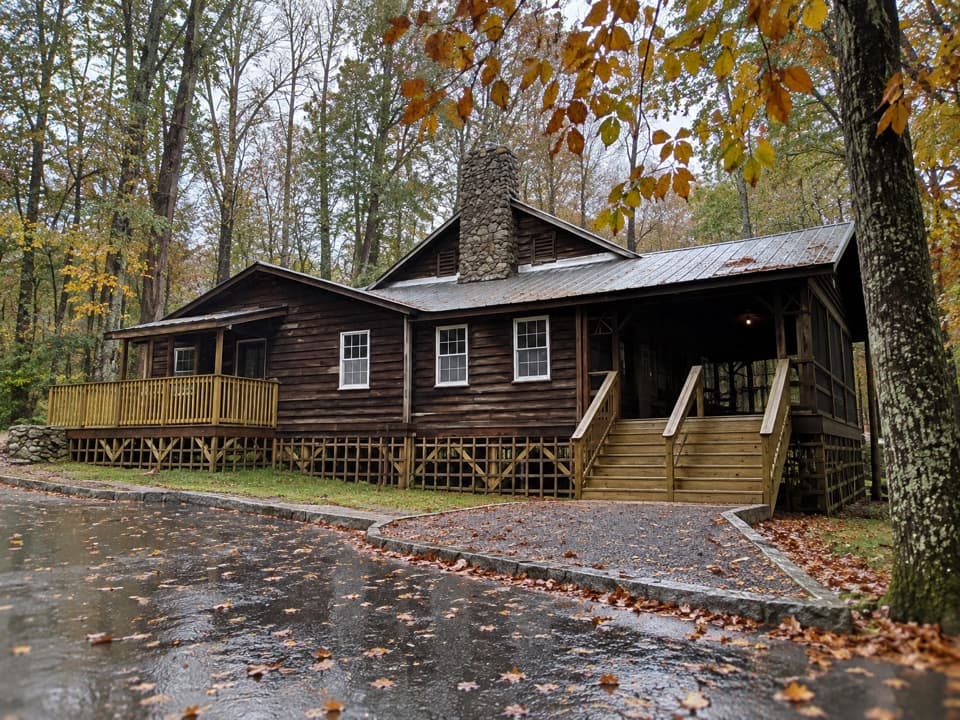
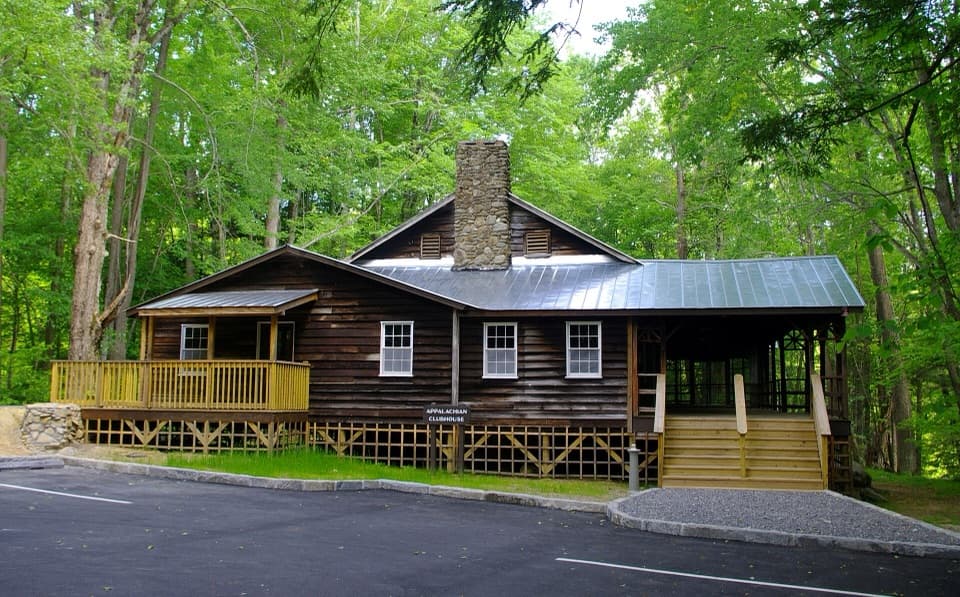
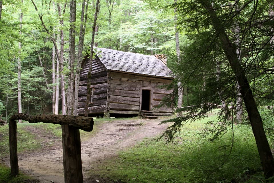
Little River Trail follows an old rail grade built for logging, and historic structures remain along the loop. Elkmont was also a summer community, so the walk passes reminders of more than one chapter of the valley’s history. In spring, look for small wildflowers such as spring beauties and trailing arbutus early in the season; blooms arrive in succession, not all at once.

Practical detailsDogs aren’t allowed. A parking tag is required when you park for more than 15 minutes.

Dogs aren’t allowed. A parking tag is required when you park for more than 15 minutes. The nearest restroom is at Elkmont Campground and is seasonal; no on-route food or drinking-water stop is listed. During the annual synchronous-firefly viewing period in late May or early June, Elkmont access changes after 4 p.m.; check the park’s current restrictions and finish earlier, since walking on the entrance road and Jakes Creek Road is prohibited then.

Wildlife

Wildlife in Great Smoky Mountains

All Great Smoky Mountains wildlife maps

Sighting maps show where each species has been reported across Great Smoky Mountains. Wildlife moves, so no sighting is guaranteed.

Keep exploring

Near Little River, Cucumber Gap, Jakes Creek Loop

See it all on the map

Trails that start nearby

Places near the trailhead

Parkwolf’s Great Smoky Mountains ranking

Top-rated trails in Great Smoky Mountains

All 197 trails
  1. 1Mount Le Conte via Alum Cave TrailChallenging · 10 mi
  2. 2Charlies Bunion via Appalachian TrailModerate · 8 mi
  3. 3Alum Cave Trail to Alum Cave BluffsModerate · 4.6 mi
  4. 4Ramsey Cascades TrailChallenging · 8 mi
  5. 5Mount Cammerer TrailChallenging · 11.1 mi
  6. 6Gregory Ridge TrailChallenging · 11.4 mi

Take Parkwolf to Great Smoky Mountains.

The audio tour guide for the drive, plus offline maps, trails, and wildlife heatmaps for when the signal drops.

4.7 from 8,600+ ratings

Download Parkwolf on the App StoreGet Parkwolf on Google Play